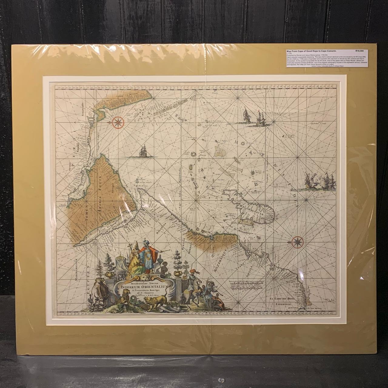
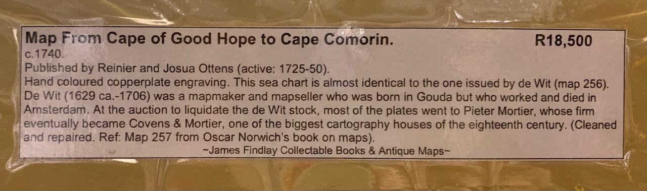
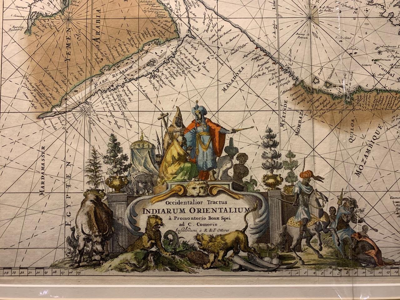
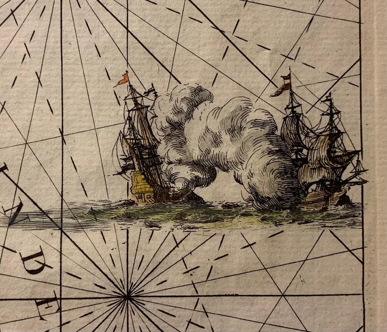
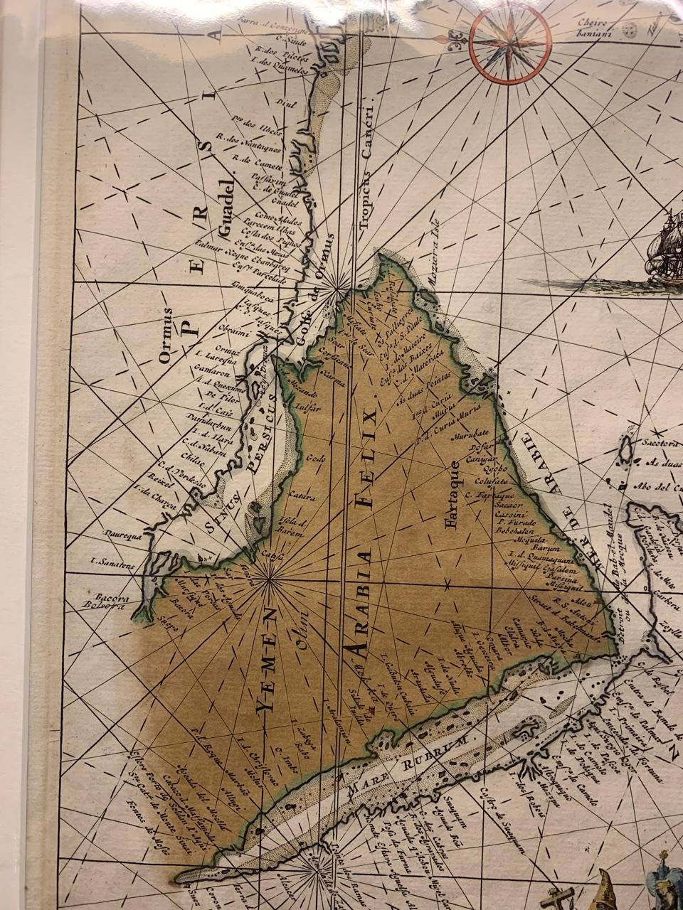
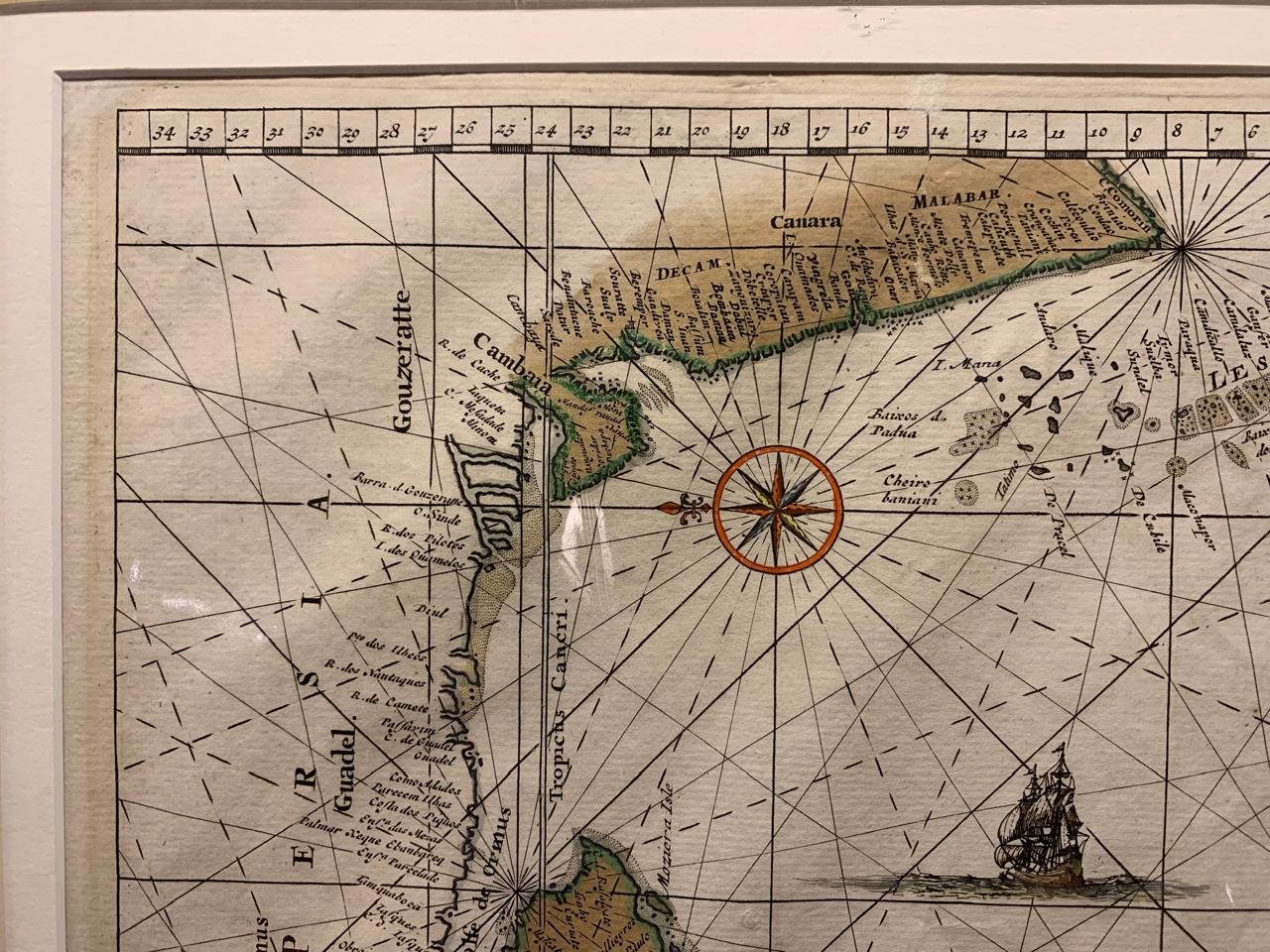
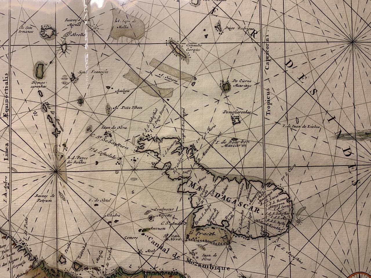
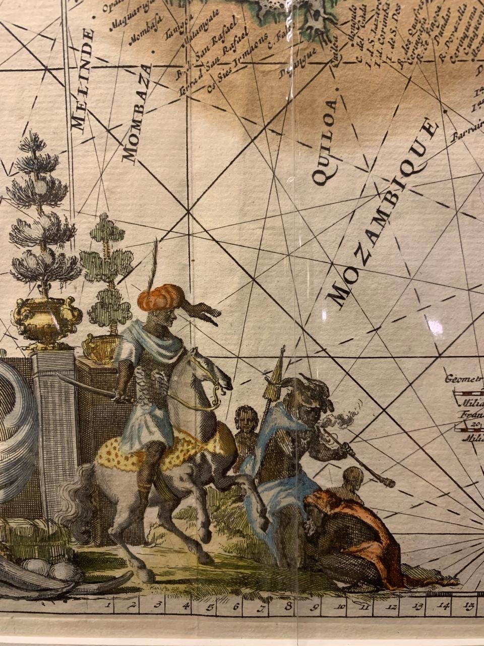
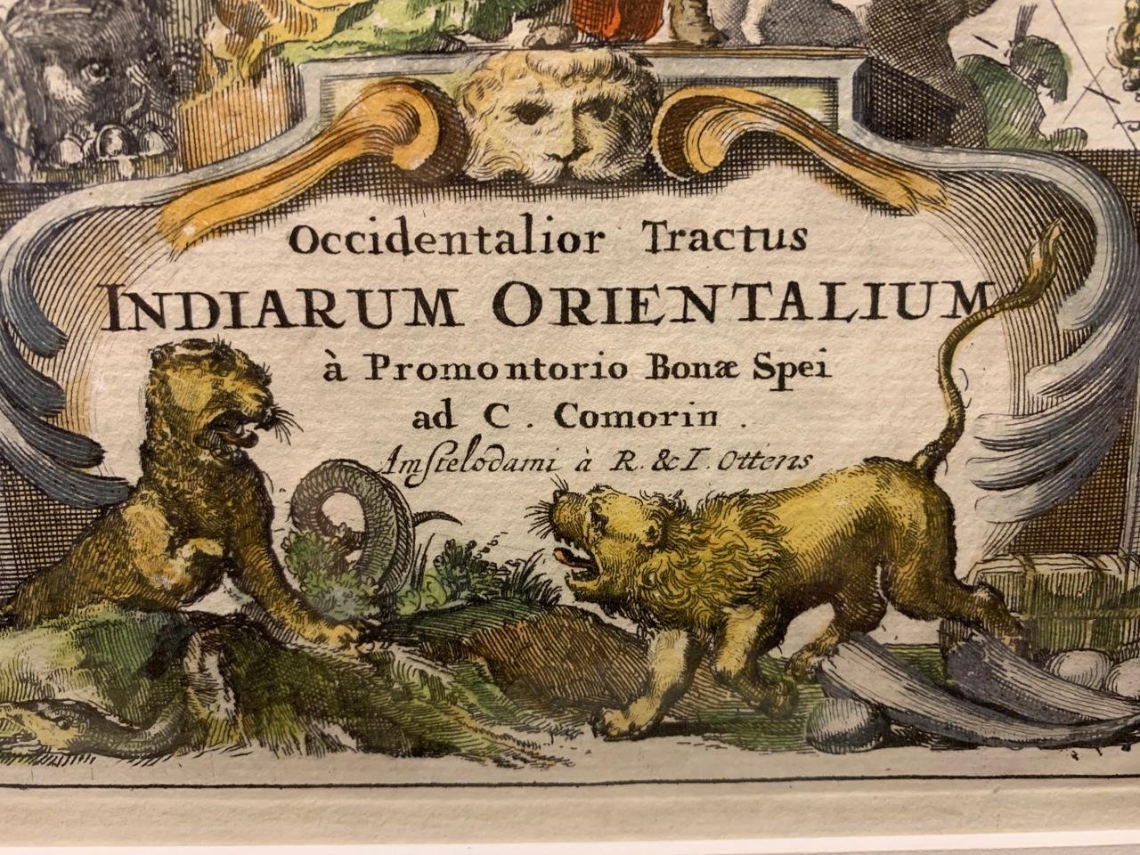
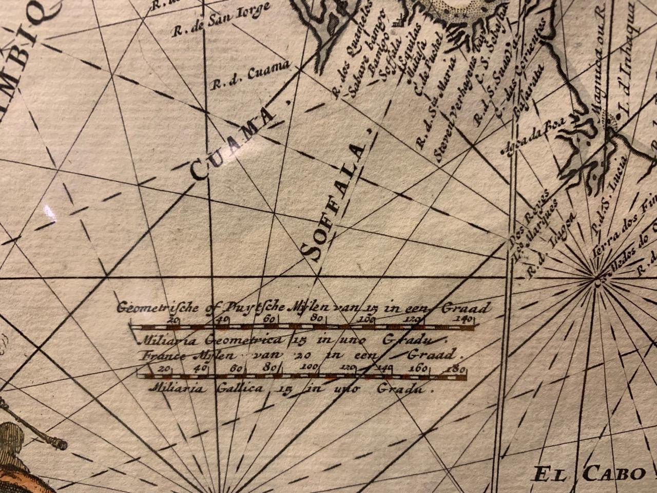
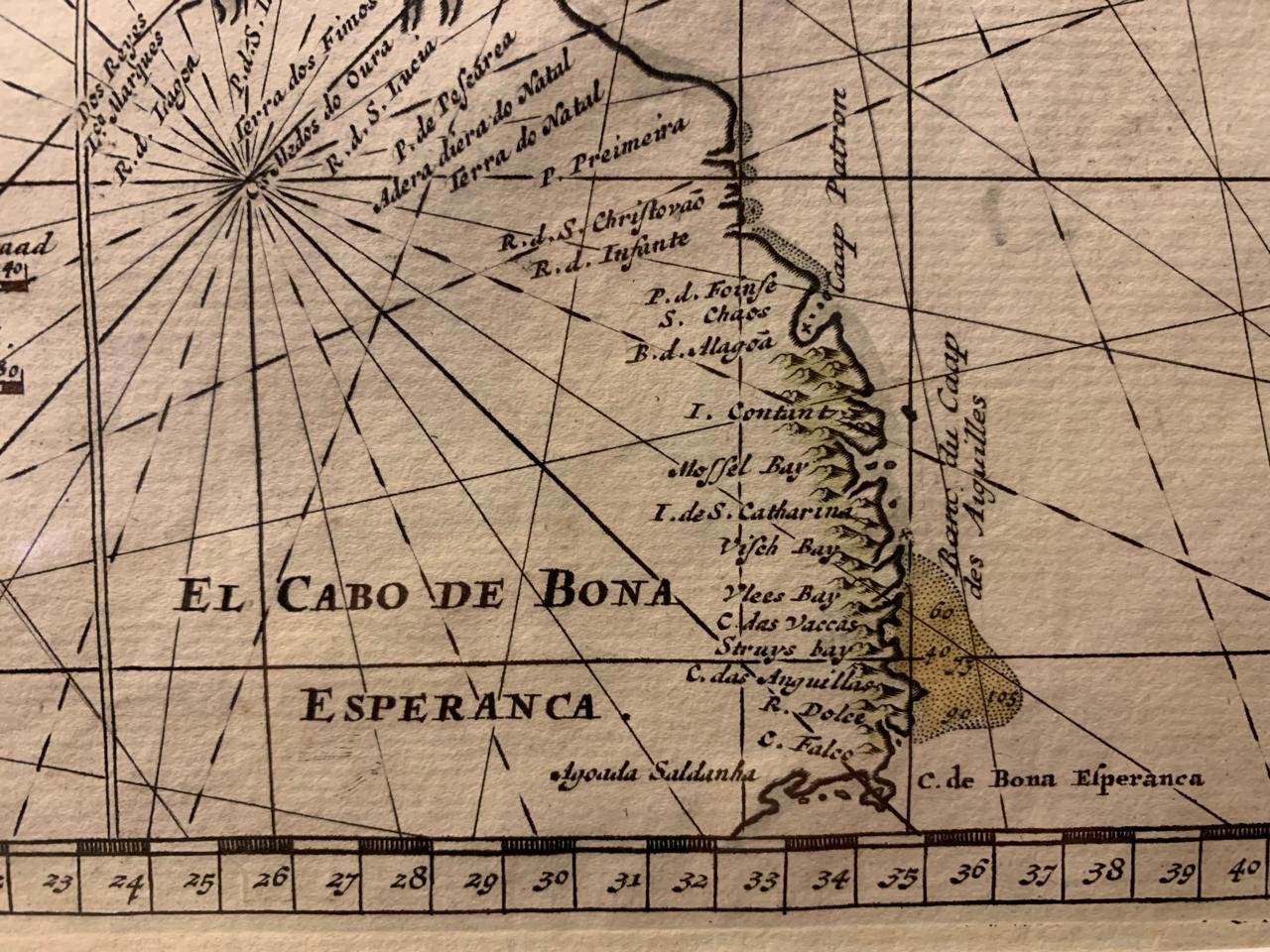
Map from Cape of Good Hope to Comorin c.1740
Hand coloured copperplate engraving by Reinier and Josua Ottens (1698-1750 and 1704-1765).
The Ottens brothers in 1725 took over the business established by their father Joachim Ottens. Joachim had earlier acquired many copper plates from Adrien Reland, and the sons continued to purchase plates from other Amsterdam mapmakers such as Louis Renard.
Map no. 257 from Oscar Norwich’s book on maps.
(Cleaned and repaired)
448mm x 550mm unframed.
R18,500.