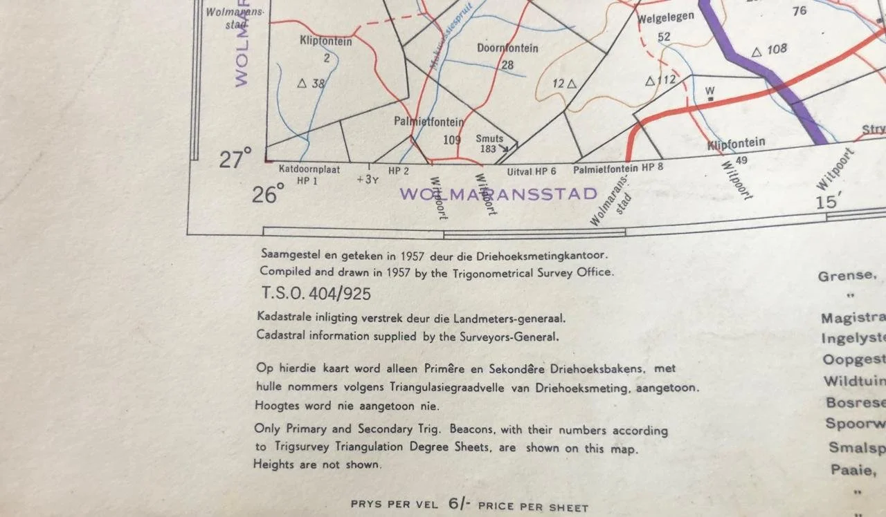
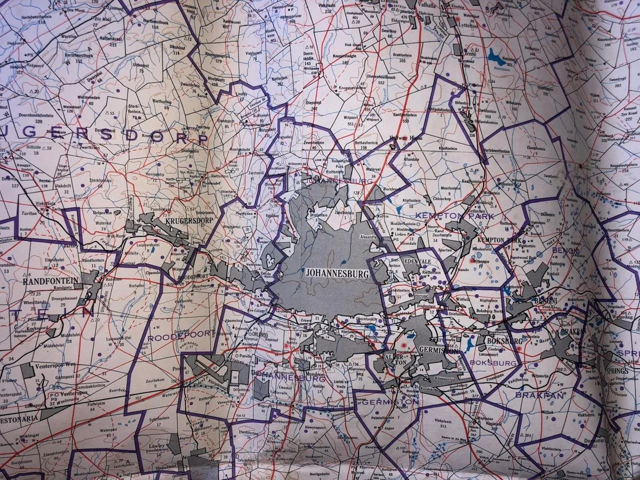
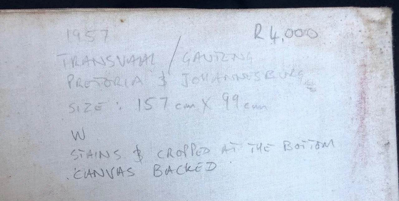
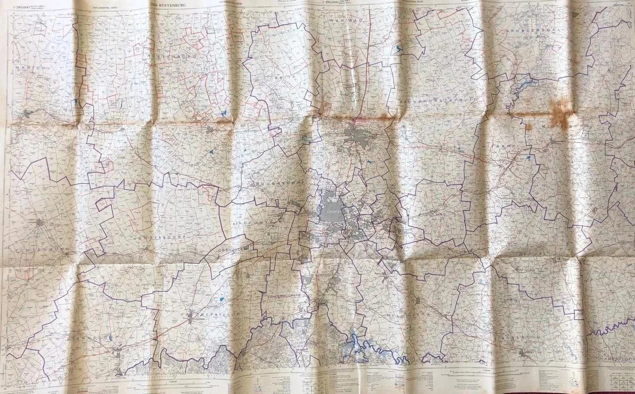
Map of the Transvaal 1957
Transvaal / Gauteng map including Johannesburg and Pretoria.
The Transvaal was a province of South Africa from 1910 until 1994.
The name "Transvaal" is from the Latin prefix trans, which means across from, or on the other side. Hence, Transvaal refers to the province's geographical location to the north of the Vaal River. Its capital was Pretoria, which was also the country's executive capital.
In 1994, after the fall of apartheid, the former provinces were abolished, and the Transvaal ceased to exist. The south-central portion (including the PWV) became Gauteng, the northern portion became Limpopo and the southeastern portion became Mpumalanga. Most of the North West came from the southwestern portion of the old Transvaal, and a tiny segment of the Transvaal joined KwaZulu-Natal.
Even before 1994, the Transvaal Province was subdivided into regions for a number of purposes (such as municipal and district courts, and sporting divisions). These divisions included Northern Transvaal (present-day Limpopo and Pretoria), Eastern Transvaal (currently Mpumalanga), Western Transvaal (currently part of North West Province) and Southern Transvaal (now Gauteng Province, but which also includes Pretoria).
Stains and cropped at the bottom.
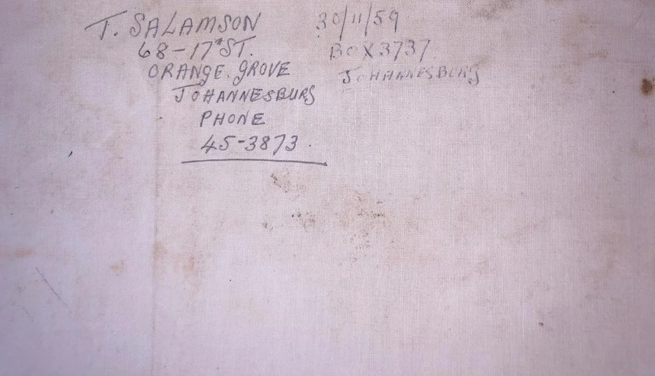
Canvas backed.
1570mm x 990mm
R4,000