Sea Charts

Map of the West Coast of Africa c.1596 R25,000

Map of the Coast of the Cape of Good Hope c.1695 R25,000

Map of Cimbebas from Catembela to Cape of Good Hope c.1715 R20,000

Chart of The West Coast from The Cape of Good Hope c1716 R14,500

Nautical Map of the Southern Ocean by Jacques Bellin c.1746 R8,500

Sea Chart of the North Sea with the Kattegat (c.1796) R7,500
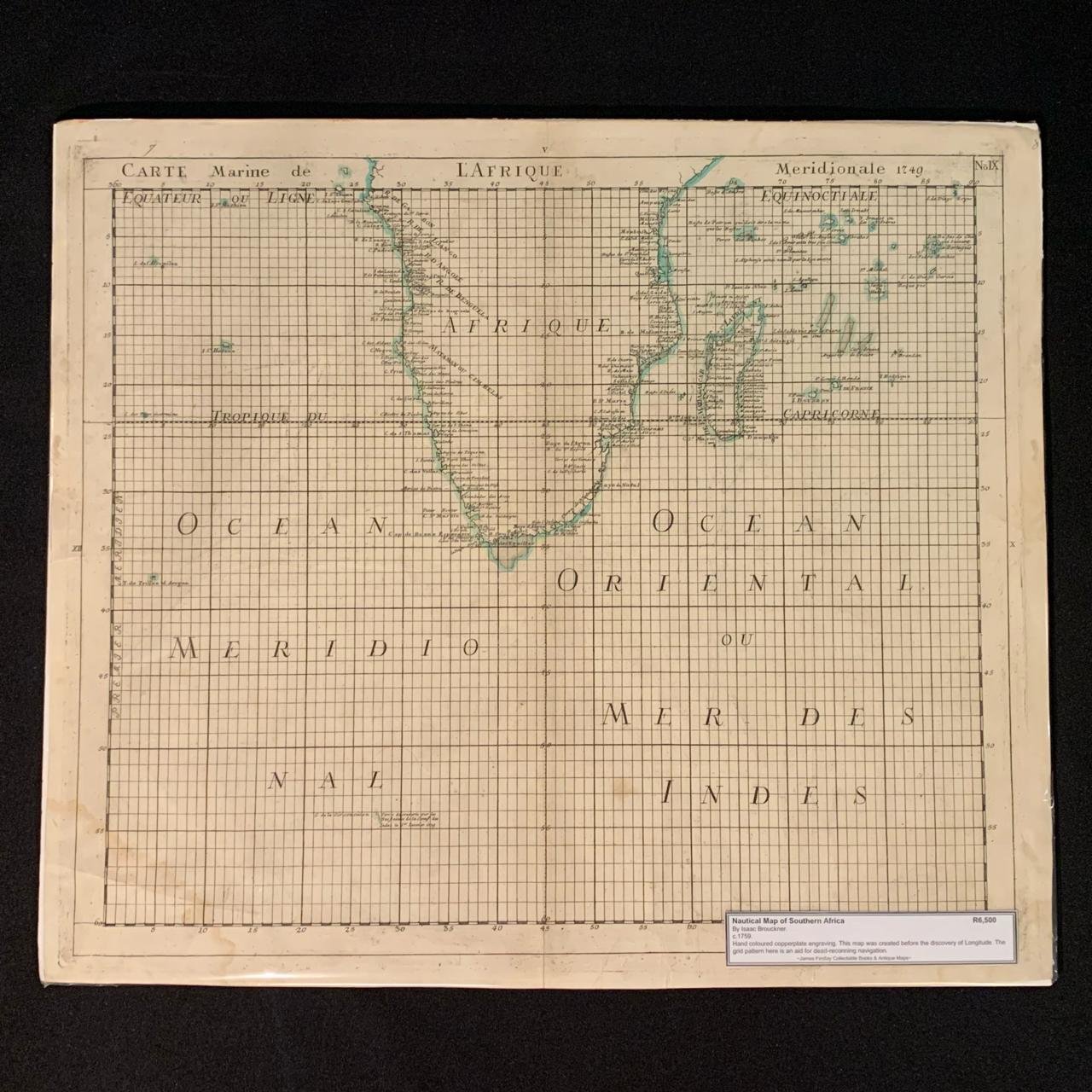
Nautical Map of Southern Africa by Isaac Brouckner (1759) R6,500
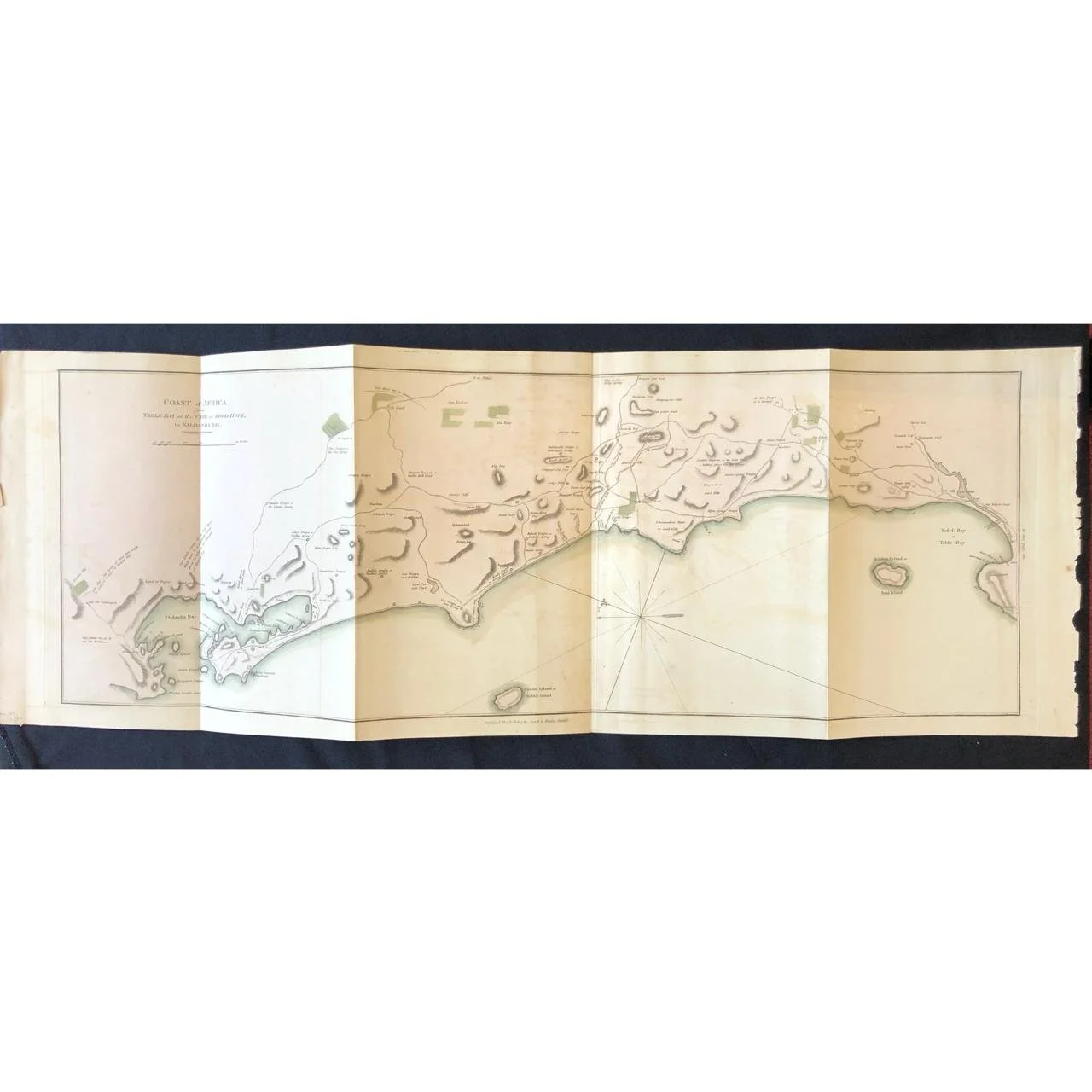
Chart of Table Bay to Saldanha Bay (1805) R6,500
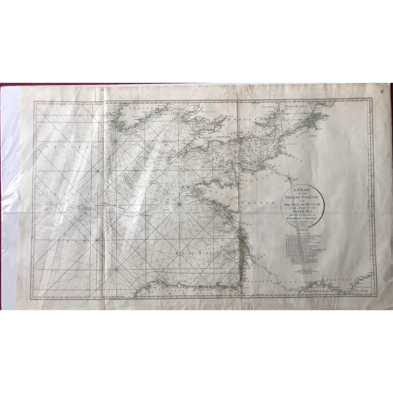
A Sea Chart of the British Channel (c.1794) R3,000
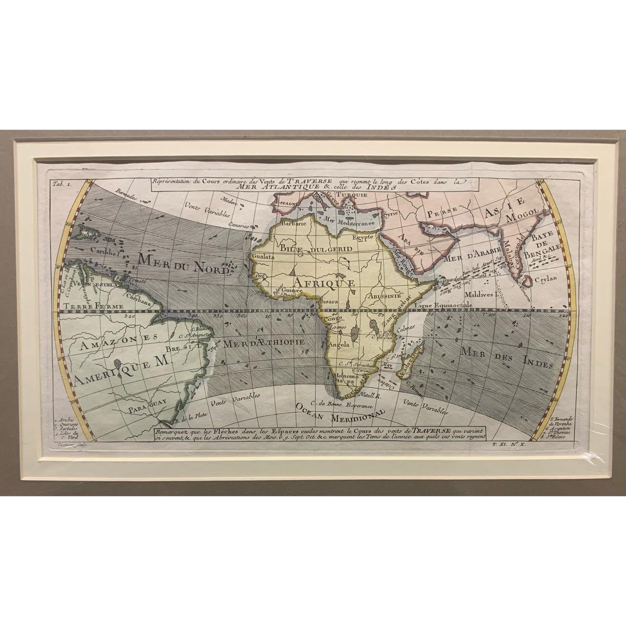
Map Representing the Trade Winds R2,750

Chart of the Coasts of Spain and Portugal (1780) R2,500
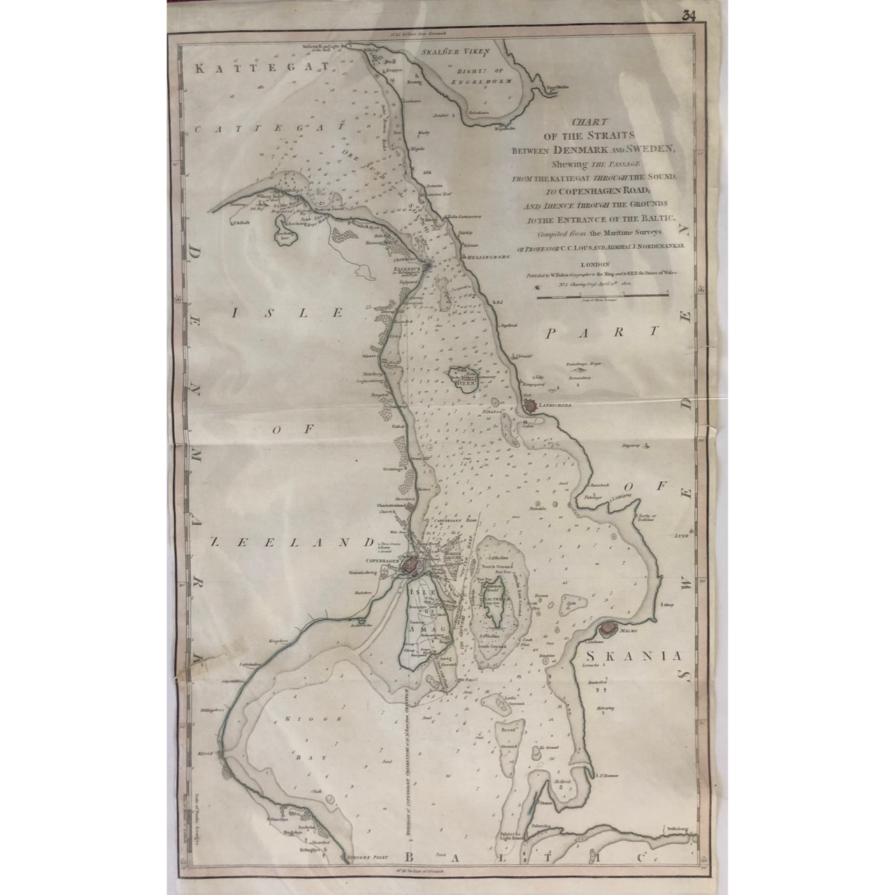
Sea Chart of The Straits between Denmark and Sweden (c.1801) R2,500

Map of the Ocean Currents Off the Coast of West Africa c.1762 R2,000

Sea Chart: Table Bay to Valsbaai 1997 R2,000

Sea Chart: Approaches to Table Bay 1997 R2,000

Sea Chart: Valsbaai 1997 R2,000

Sea Chart: Table Bay to False Bay 1998 R2,000

Sea Chart: Approaches to Saldanha Bay 1982 R1,500
Sea Chart: Entrance to Saldanha Bay 1995 R1,500

Sea Chart: Saldanha Bay Harbour 1988 R1,500

Sea Chart: Table Bay 1997 R1,500

Sea Chart: Simonsbaai 1986 R1,500

Sea Chart: Approaches to Saldanha Bay 1997 R1,500

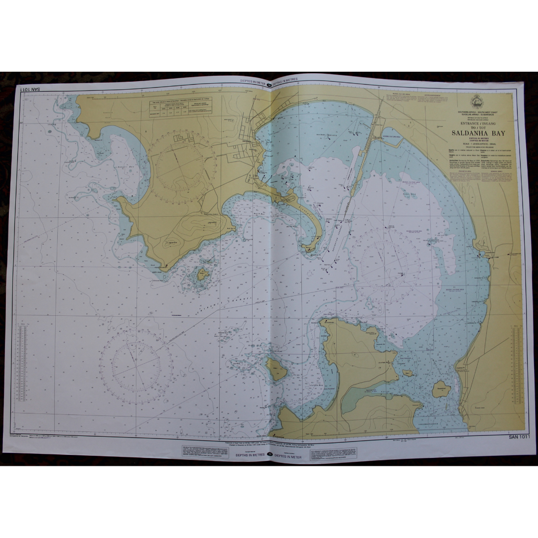
Sea Chart: Saldanha Bay 1997 R1,500

Sea Chart: Table Bay Docks & Approaches 1998 R1,500

Sea Chart: Simon’s Bay 1996 R1,500

Sea Chart: Approaches to Table Bay 1998 R1,500

"A New Correct Mapp of Calbar River..." (Biafra Slave Trade) by John Churchill (1704) R1,250

Sea Chart: St Helenabaai 1995 R1,000

Sea Chart: Houtbaai 1996 R1,000

Anchorage’s Chart of the South West Coast of Africa (1927-1962) R1,000
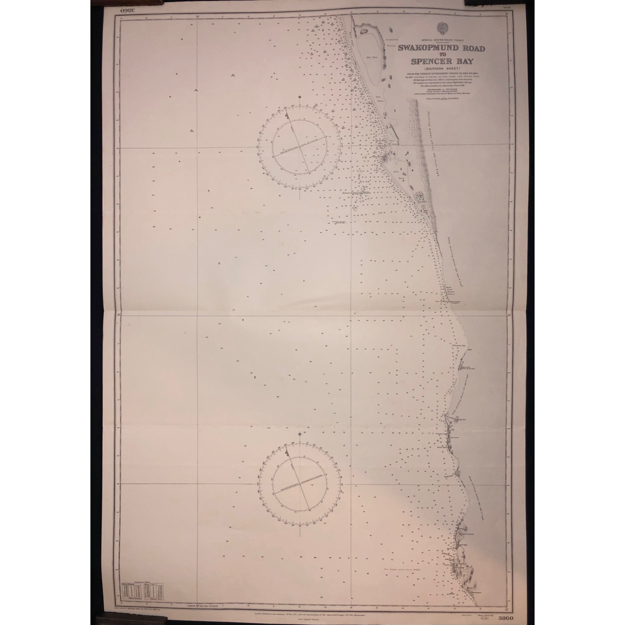
Chart of Swakopmund Road to Spencer Bay, Namibia (1931) R1,000

Map of Ghana, Togo and Benin 1670 SOLD
