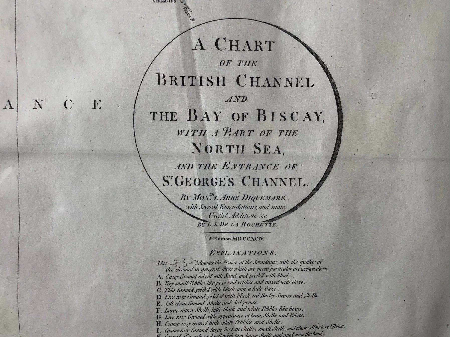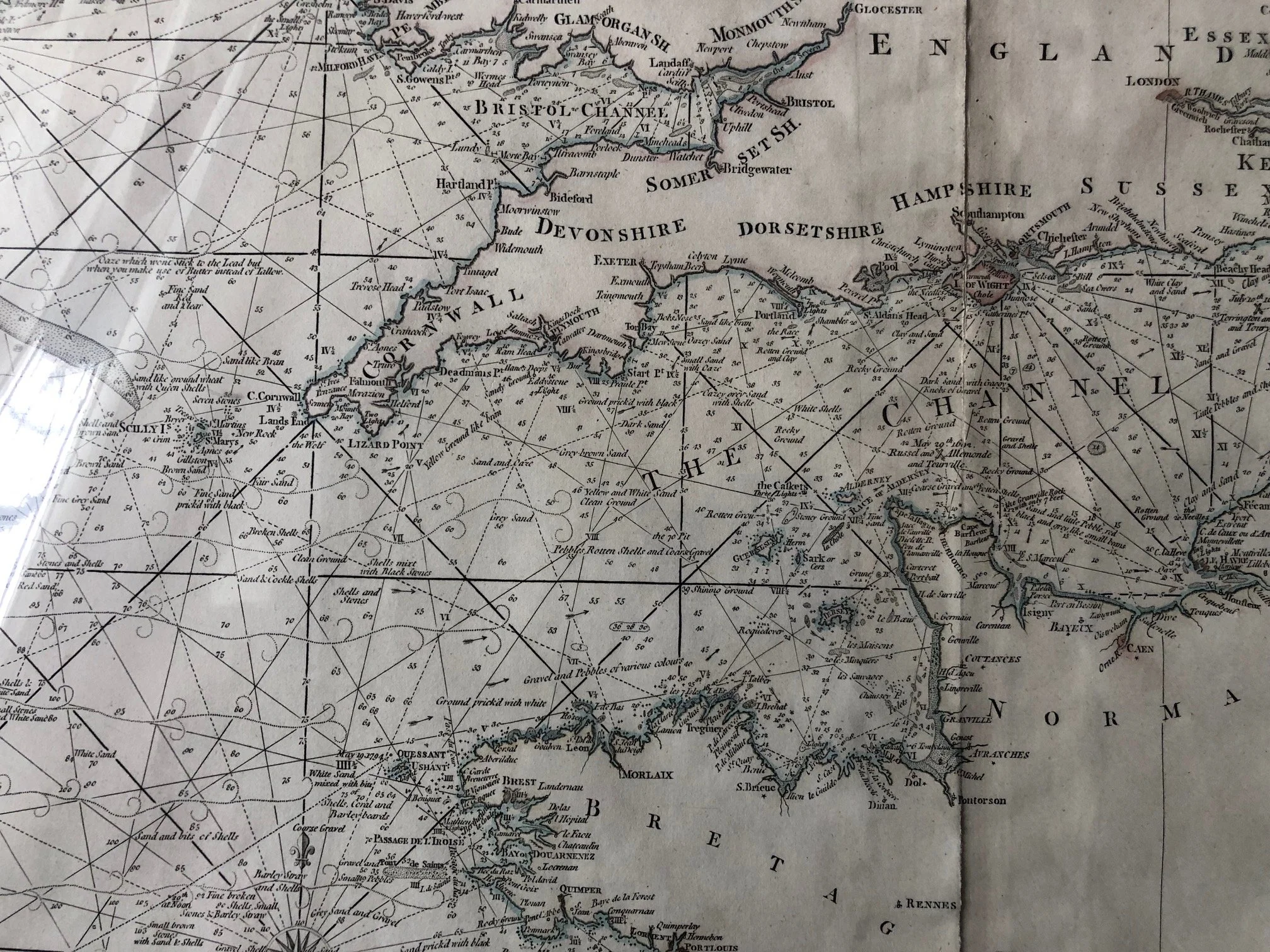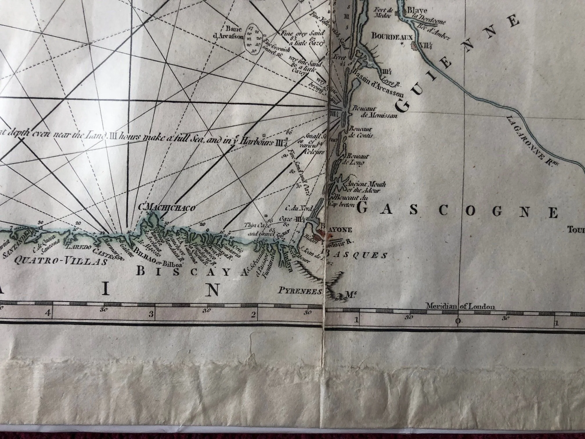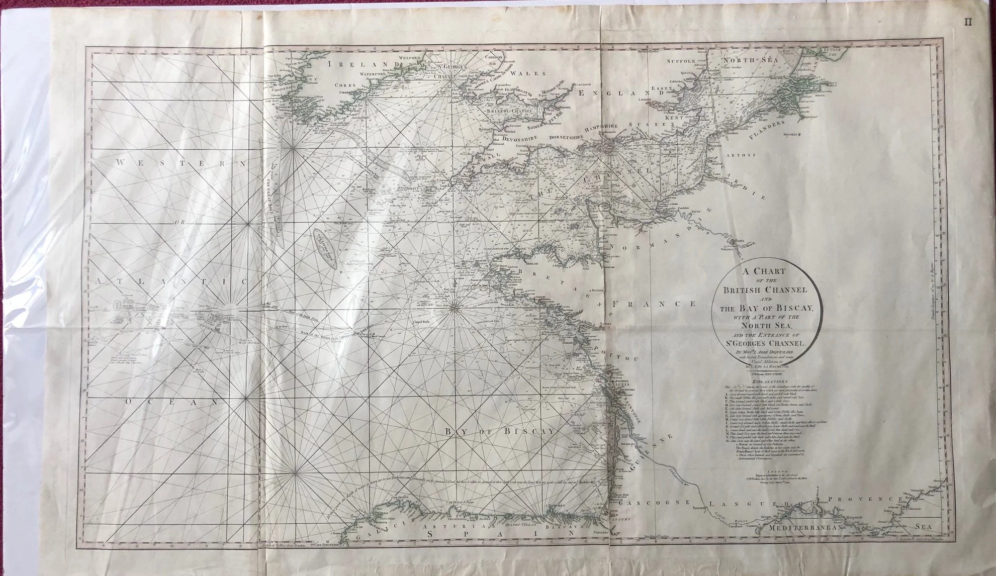
A Sea Chart of the British Channel (c.1794)
And the Bay of Biscay with a part of the North Sea, and the entrance of St George’s Channel.
Hand coloured copperplate engraving.
Cartographer: Delarochette, L. (Louis), 1731-1802. Published by William Faden (1749-1836). Faden was the most prominent London mapmaker and publisher of the late-eighteenth and early-nineteenth centuries.
Some fading, several repairs, especially the edges.
960mm x 585mm
R3,000