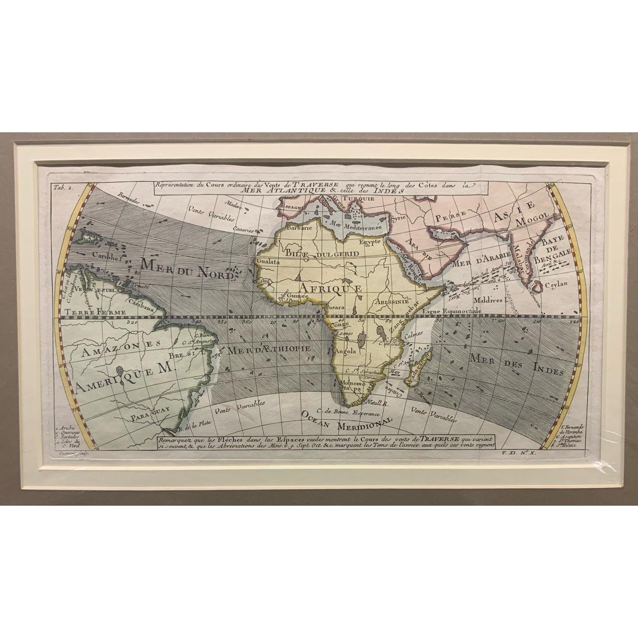
Map Representing the Trade Winds
18th Century
French.
Hand-coloured copperplate engraving.
The arrows indicate the direction of the winds in September and October.
310mm x 163mm excluding mountboard
R2,750

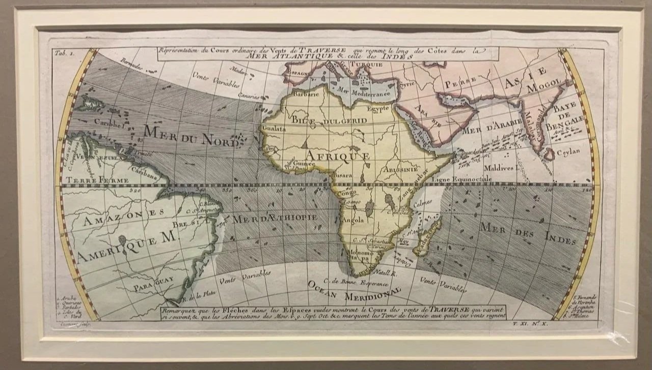
18th Century
French.
Hand-coloured copperplate engraving.
The arrows indicate the direction of the winds in September and October.
310mm x 163mm excluding mountboard
R2,750