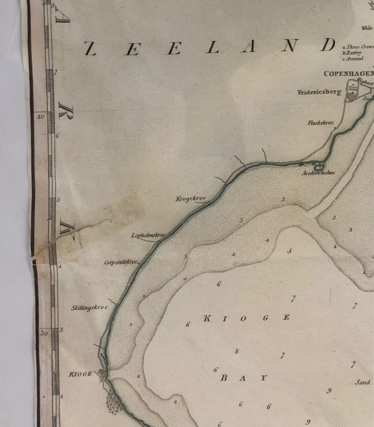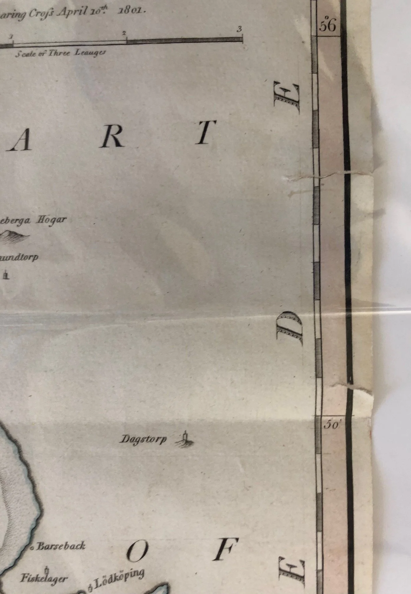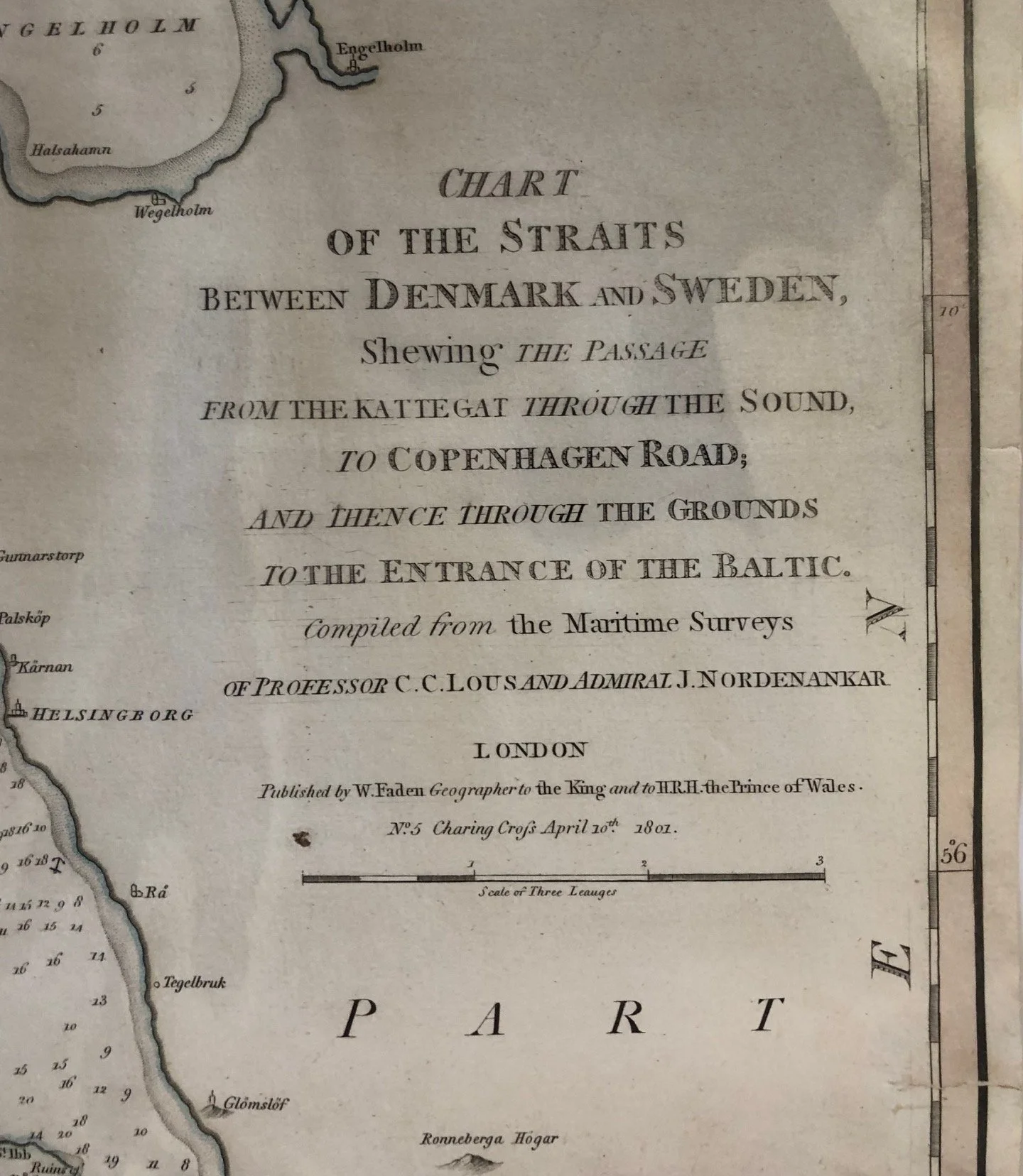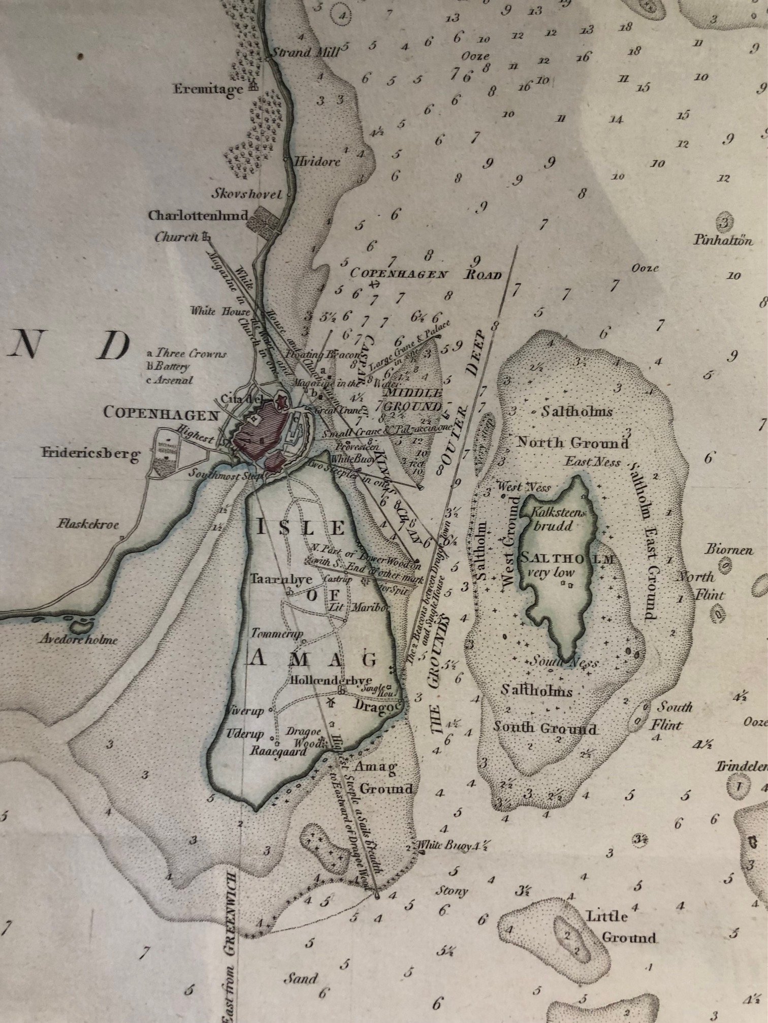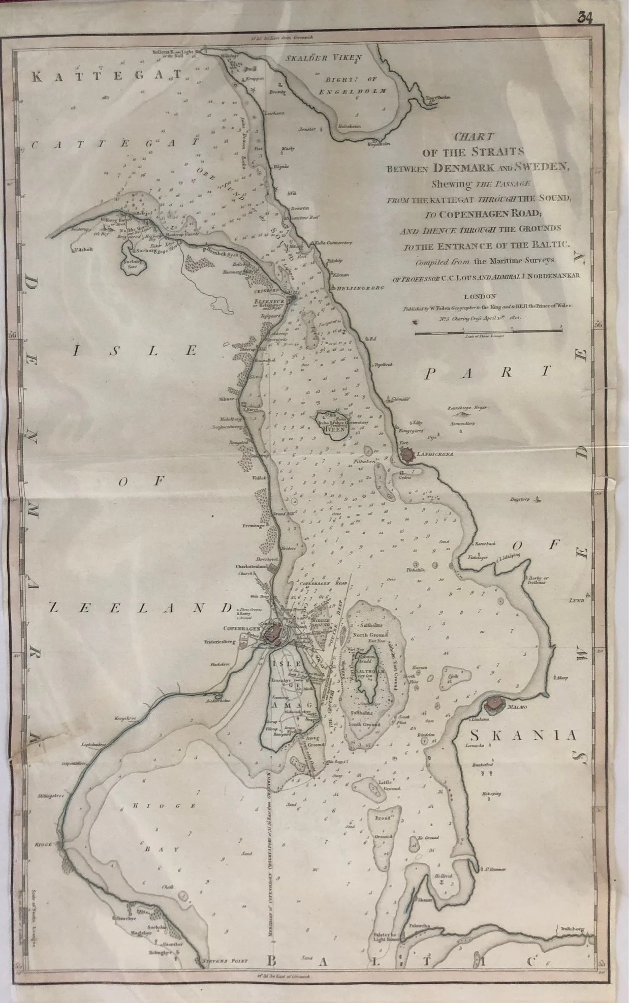
Sea Chart of The Straits between Denmark and Sweden (c.1801)
Hand coloured copperplate engraving by William Faden (1750 - 1836).
Faden was a cartographer and publisher who took over Thomas Jefferys's business in 1771 and held the position of Geographer to His Majesty the King and the Prince of Wales.
The Kattegat is a sea area located between Denmark and Sweden that connects the North Sea (via the Skagerrak strait) to the Baltic Sea. It serves as a vital commercial waterway with major ports like Gothenburg and Aarhus.
Condition: Washed, minor tears and restoration.
395mm x 660mm
R2,500