Nautical Map of Southern Africa 1759
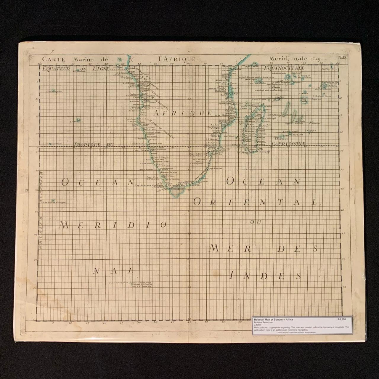
By Isaac Brouckner (1686–1762)
c.1759
Hand-coloured copperplate engraving.
This map was created before the discovery of Longitude.
The grid pattern here is an aid for dead-reckoning navigation.
556mm x 480mm
R6,500


