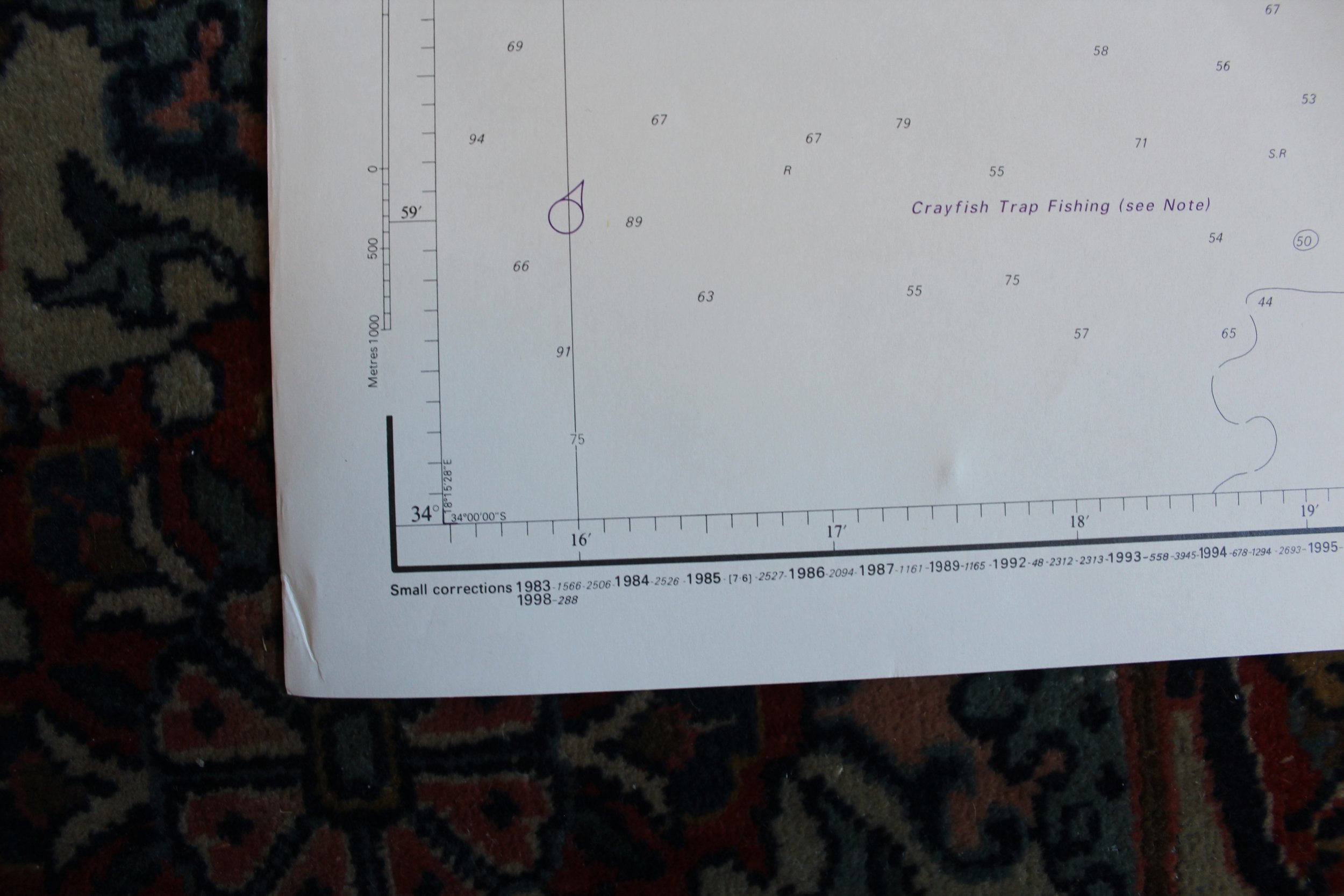
Sea Chart: Approaches to Table Bay 1998
1920
Printed June 1998 (first published August 1982).
Slight creasing on periphery and large crease on right hand side.
1032mm x 713mm
R1,500

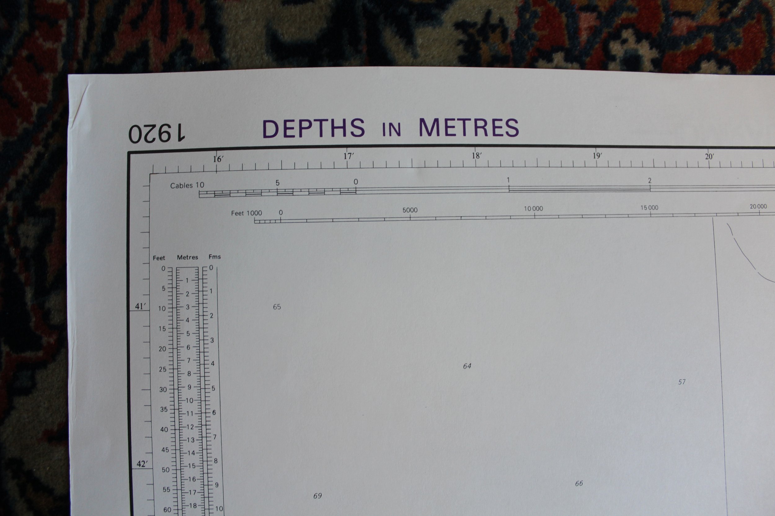
1920
Printed June 1998 (first published August 1982).
Slight creasing on periphery and large crease on right hand side.
1032mm x 713mm
R1,500