Nautical Map of the Southern Ocean c.1746
By Jacques Bellin (1703–1772)
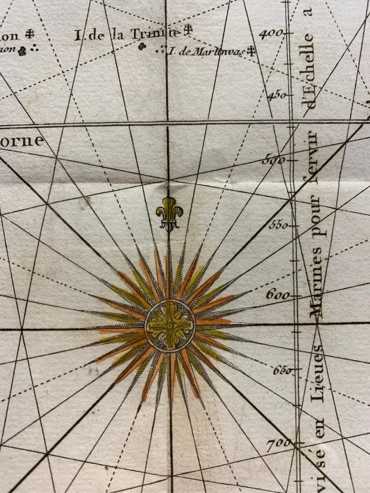
Hand-coloured copperplate engraving.
Published in Paris.
These maps were used for navigation, hence the rhumb lines, cardinal points and depth soundings.
In this map we see that South America appears closer to Africa than it actually is. This is due to the Portuguese cartographers purposely manipulating the limited cartographic knowledge of the day and exploiting the Treaty of Tordesillas.
515mm x 400mm excluding mountboard (unframed)
R8,500