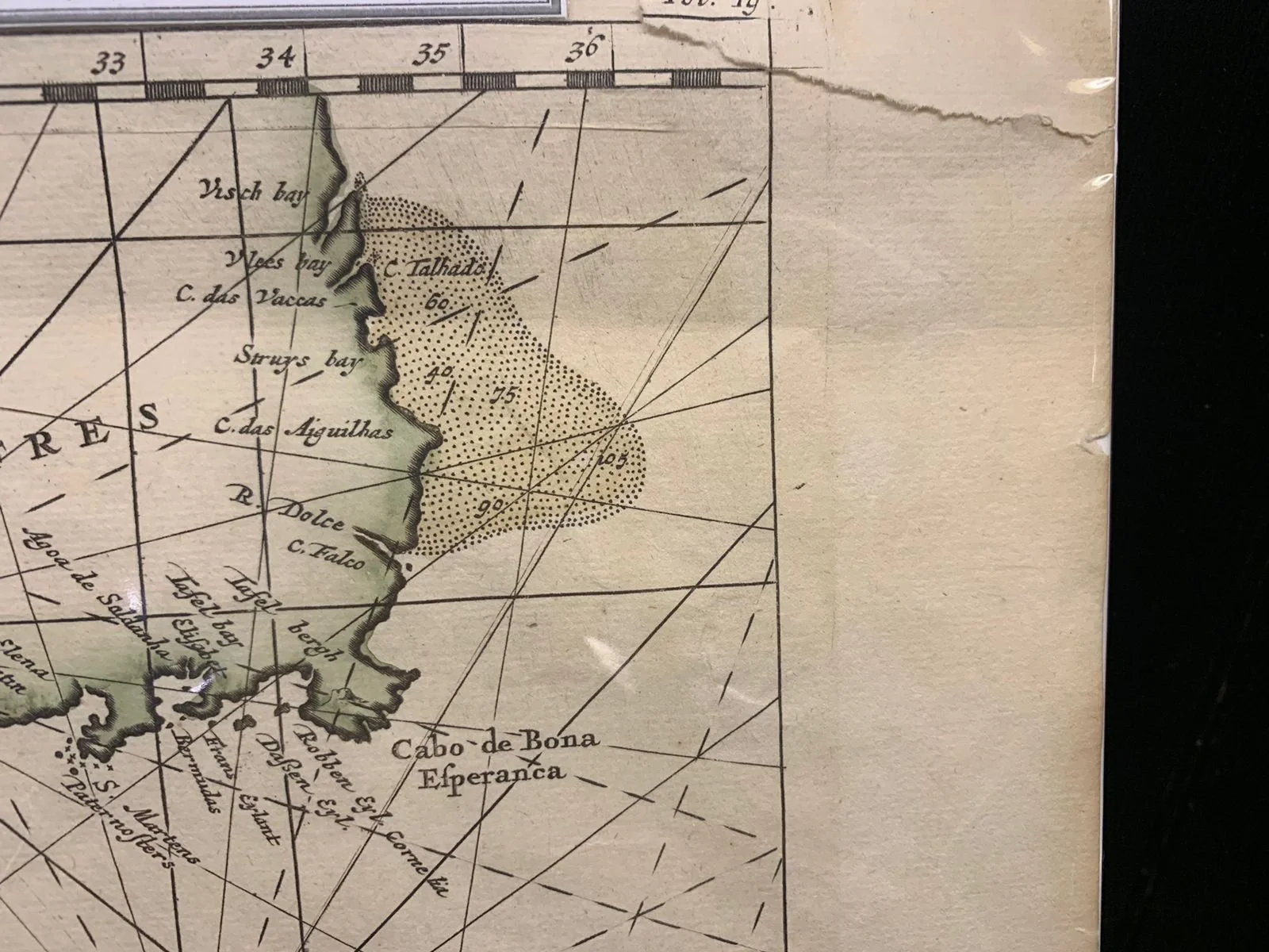
Map of Cimbebas from Catembela to Cape of Good Hope c.1715
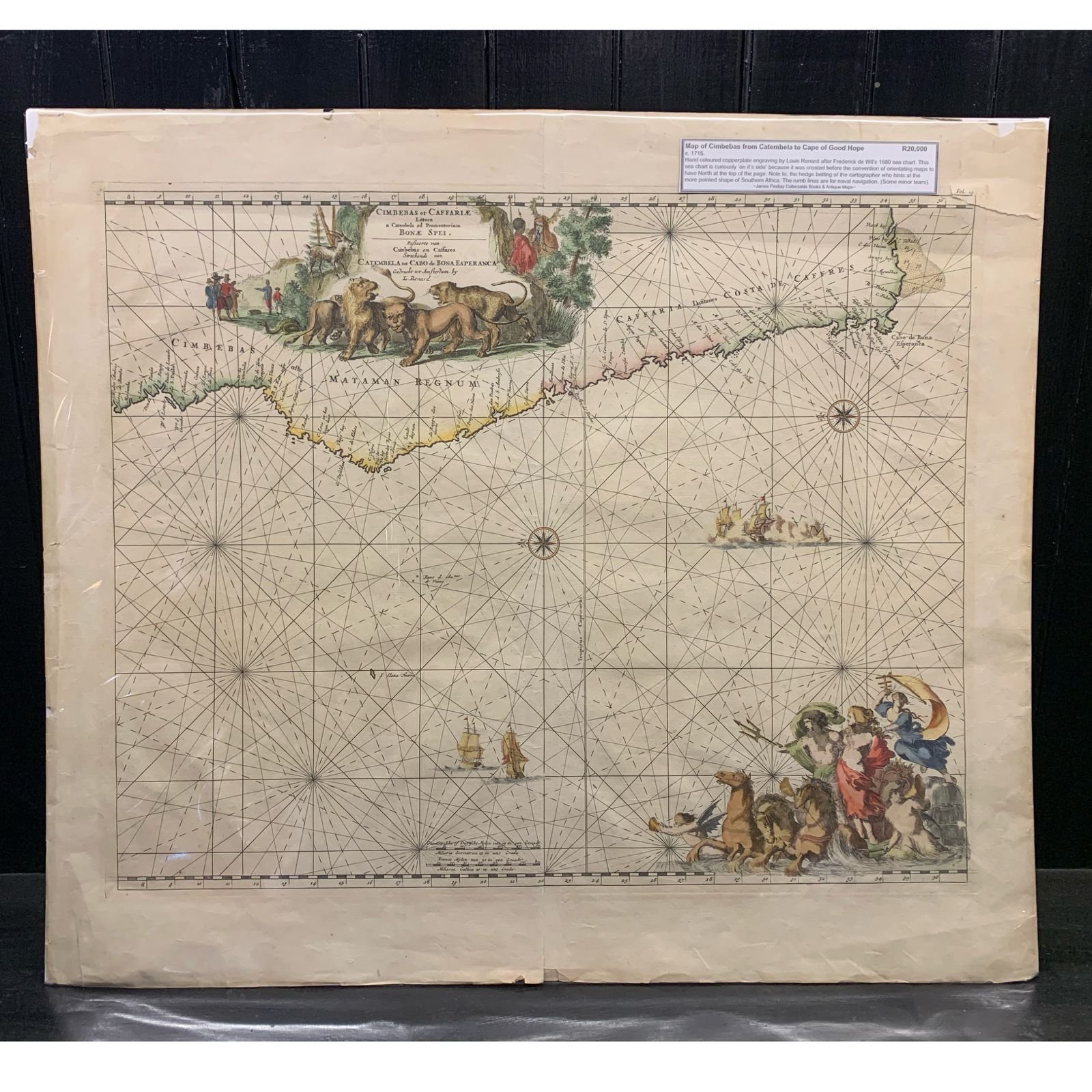
Hand-coloured copperplate engraving by Louis Renard after Frederick de Wit’s 1680 sea chart. This sea chart is curiously ‘on its side’ because it was created before the convention of orientation maps to have North at the top of the page. Note, too, the hedge betting of the cartographer who hints at the more pointed shape of Southern Africa. The rhumb lines are for naval navigation.
Some minor tears.
620mm x 534mm (unframed)
R20,000