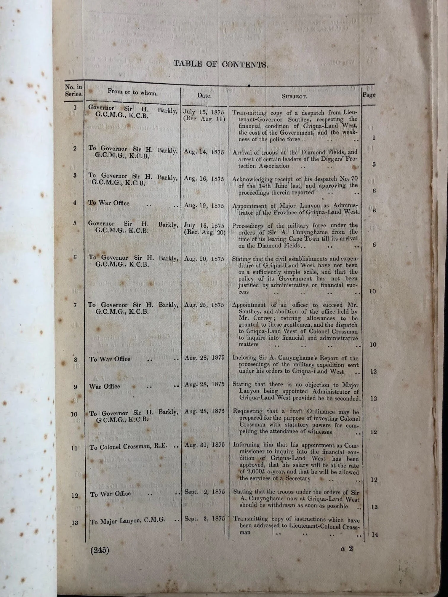
Blue Book – Griqualand West Part Two 1876
Published in February 1876.
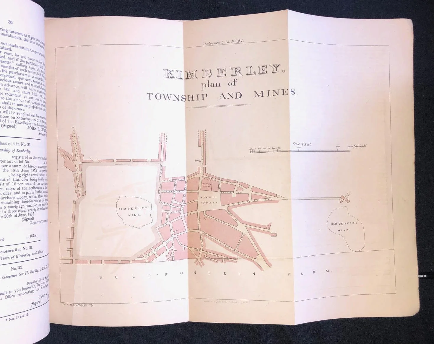
Blue Book on the Cape of Good Hope, including reference to diamond mining, Orange Free State, ZAR (South African Republic), and more. Includes a map of Kimberly.
Griqualand West is an area of central South Africa with an area of 40,000 km2 that now forms part of the Northern Cape Province. It was inhabited by the Griqua people – a semi-nomadic, Afrikaans-speaking nation of mixed-race origin, who established several states outside the expanding frontier of the Cape Colony. It was also the ancestral home to the Tswana and Khoisan peoples.
In 1873 it was proclaimed as a British colony, with its capital at Kimberley, and in 1880 it was annexed by the Cape Colony. When the Union of South Africa was formed in 1910, Griqualand West was part of the Cape Province, but continued to have its own "provincial" sports teams.
210 x 330mm
R2,000