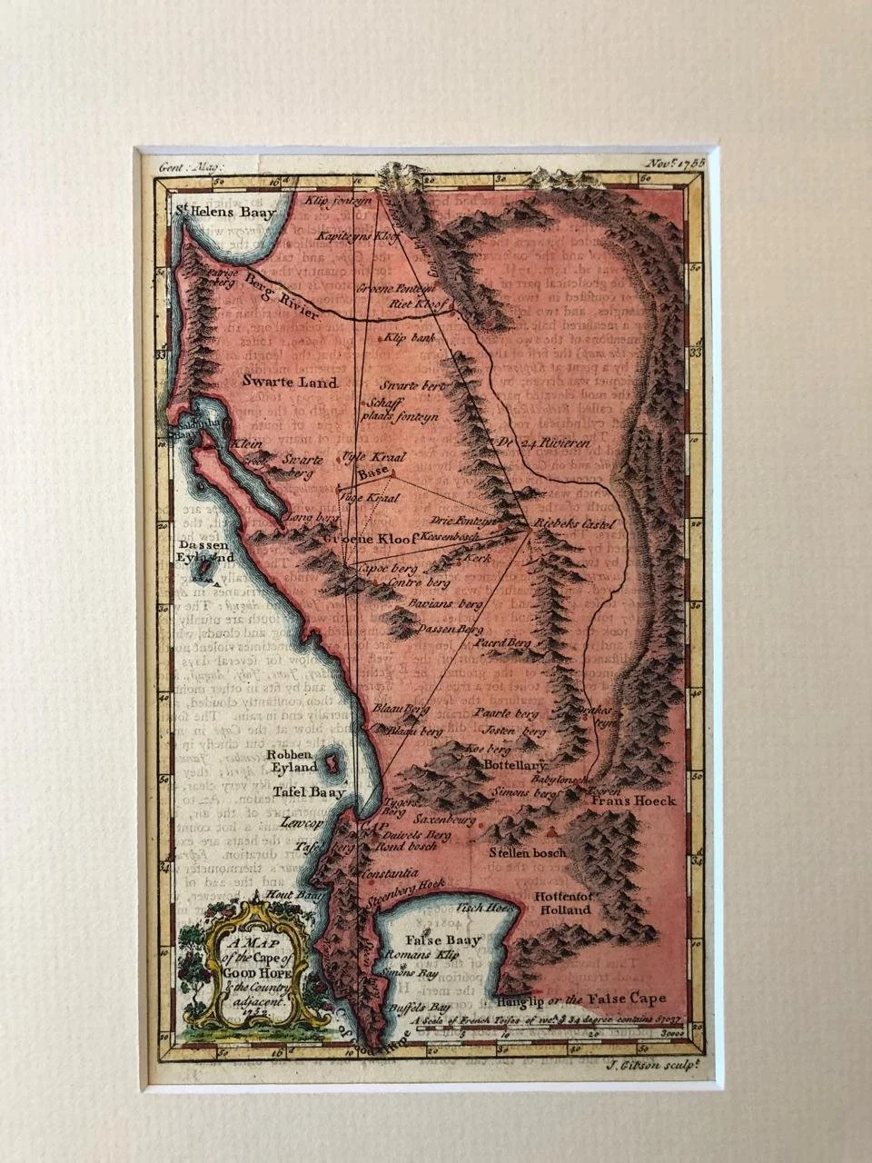
A Map of the Cape of Good Hope
c.1752
Hand coloured copperplate engraving by John Gibson.
Published in London, in The Gentleman's Magazine, 1755.
This map of the southern tip of Africa was published to reflect recent observations and measurements made by French astronomer Nicolas-Louis de Lacaille. Based in Strand Street Cape Town, Lacaille spent three years at the Cape conducting astronomical geodetic observations in an attempt to determine the radius of the Earth in the Southern hemisphere.
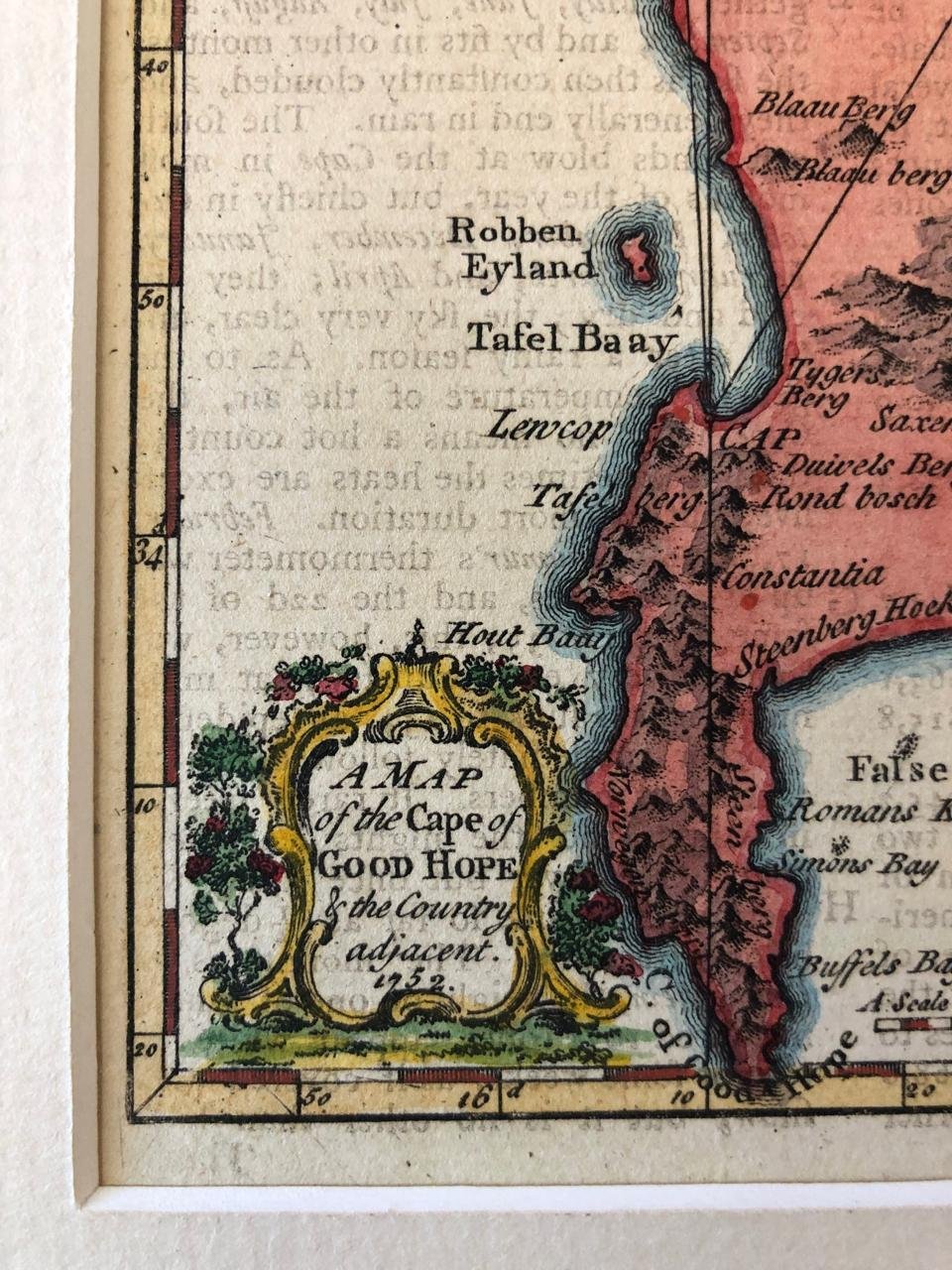
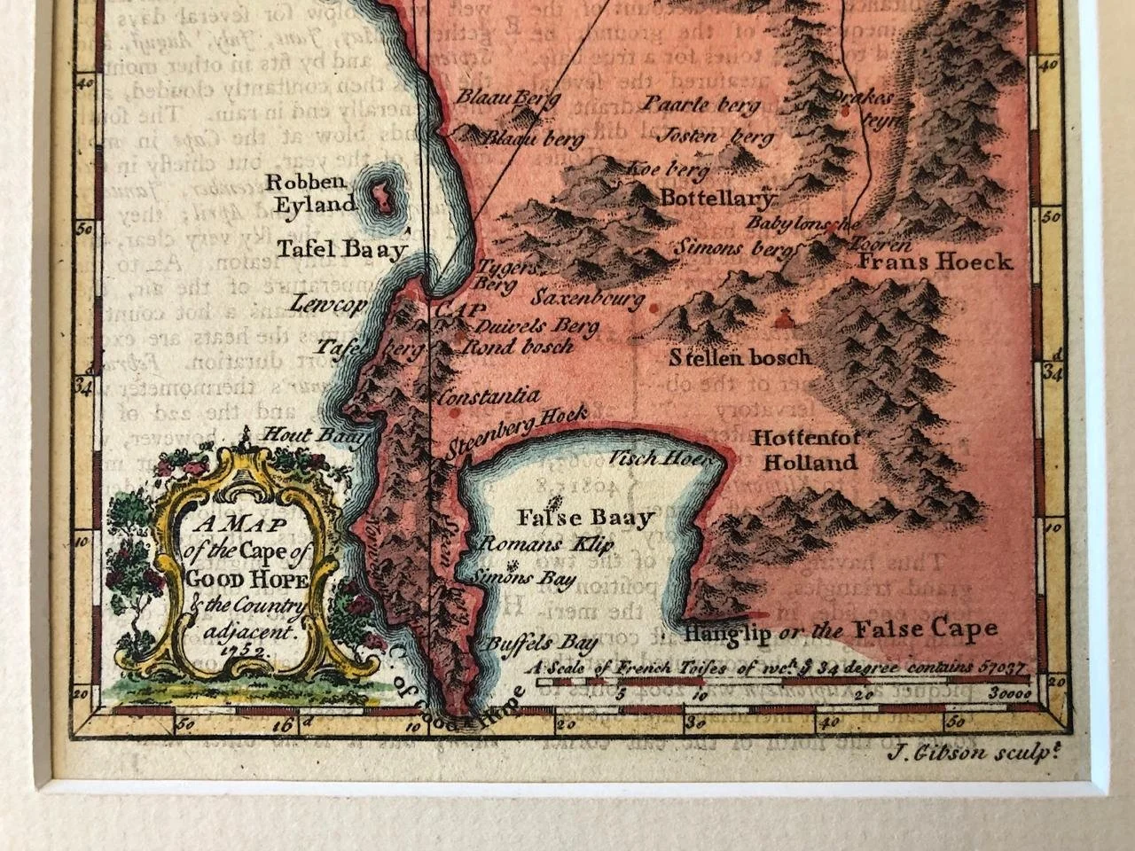
This map reflects some of Lacaille's observations and measurements. Depicted here are the various mountain ranges in South Africa, as well as many Dutch settlements and place names.
125mm x 203mm
R4,500