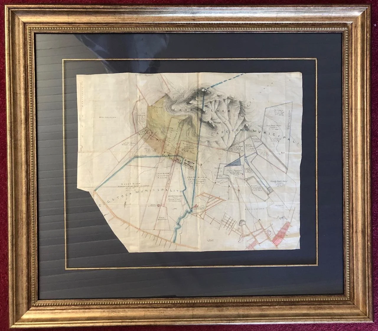
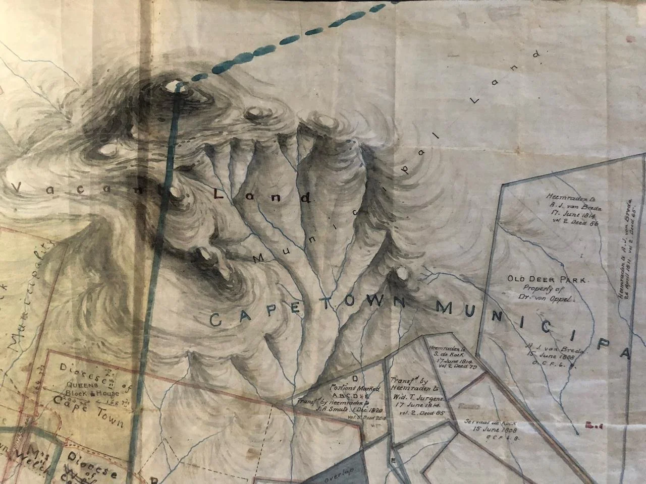
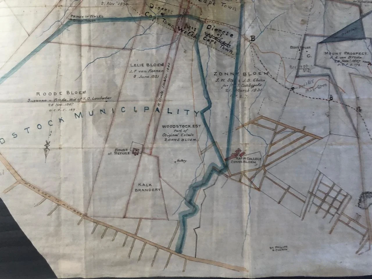
Municipal Map of Cape Town
Manuscript, hand drawn and hand painted surveyor’s map.
c.1890.
This is a partial map of the area. Lacking surveyor’s details and revenue stamps etc.
Provenance: Peter Spronk was a Land Surveyor and had a practice in Hermanus for 35 years. He found this map in a box when he moved premises. Spronk explains: ‘How a Cape Town plan was found there is anyone’s guess. It could have been that a land surveyor from Cape Town worked with the then local land surveyor. It happens often, even up to today.
Frame: 905 x 800 x 45mm
Map: 570 x 450mm
R12,500