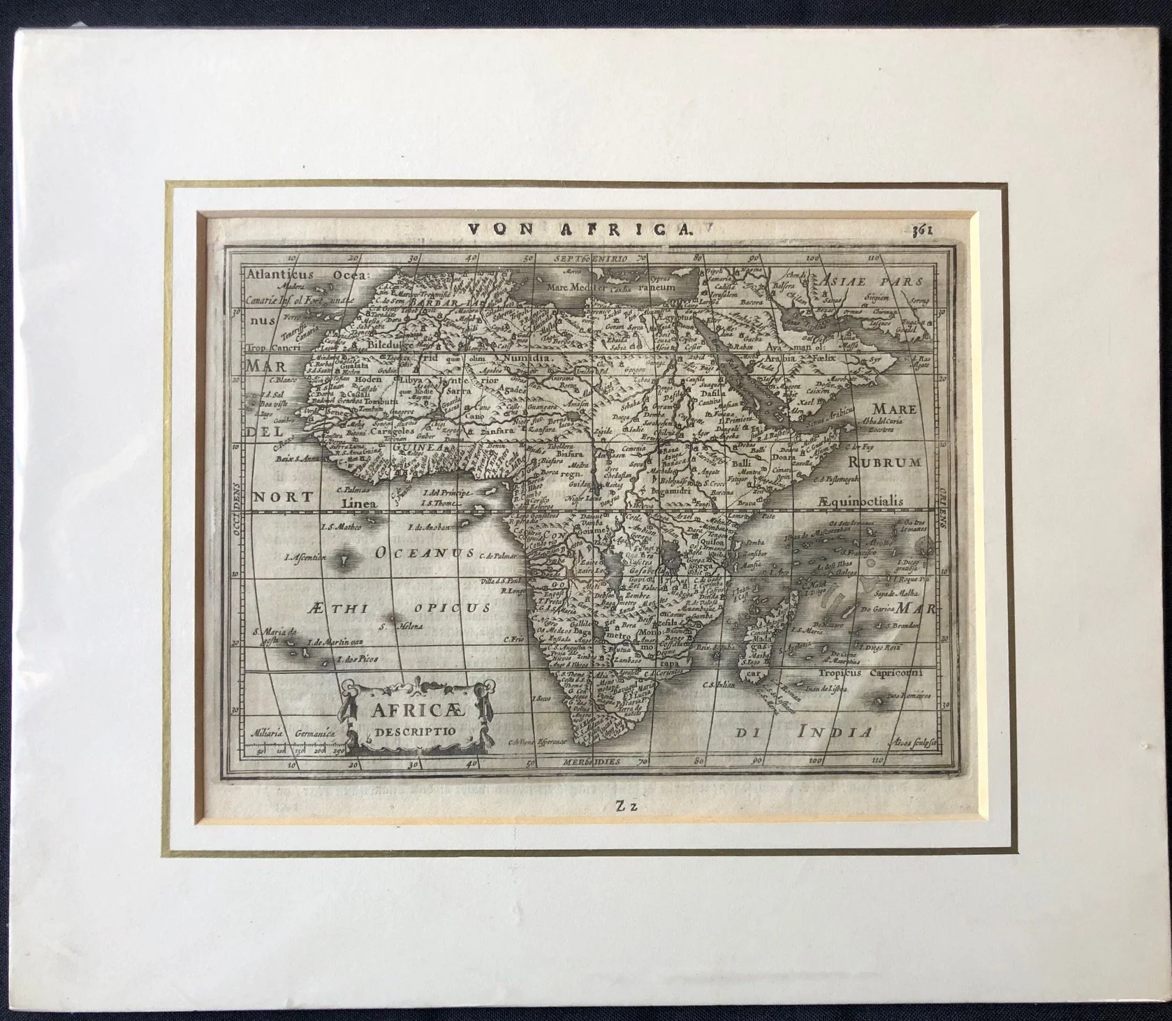
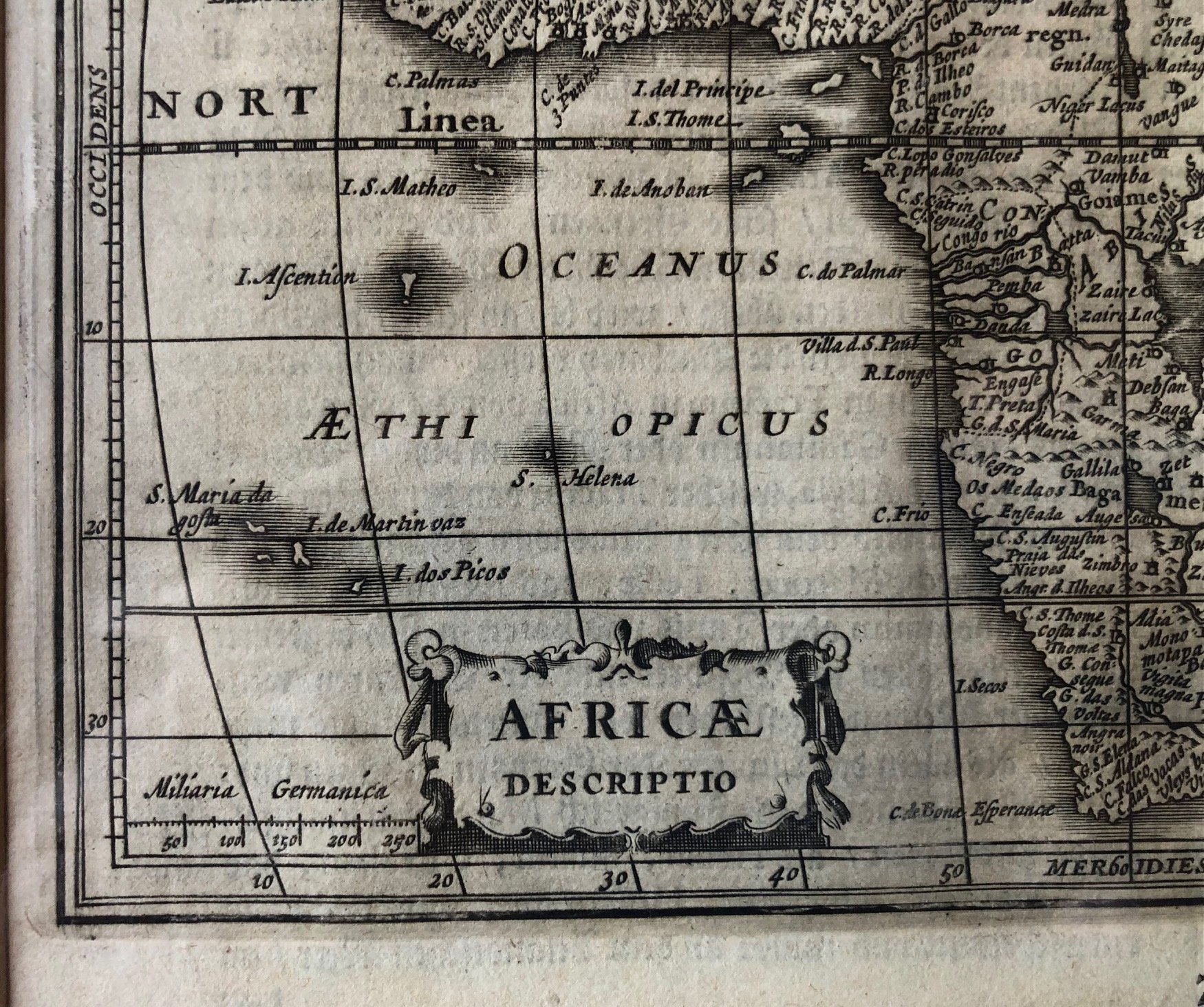
"AFRICAE DESCRIPTIO" c.1630
This map is a fascinating artifact from the late 16th or early 17th century. It is titled "AFRICAE DESCRIPTIO" inside the cartouche, with the German header "VON AFRICA" at the top, indicating it comes from a German edition of a prominent atlas or cosmography—most likely Matthias Quad's Geographisch Handtbuch (possibly engraved by Johann Bussemacher around 1600) or a similar work derived from the legendary cartographer Abraham Ortelius.
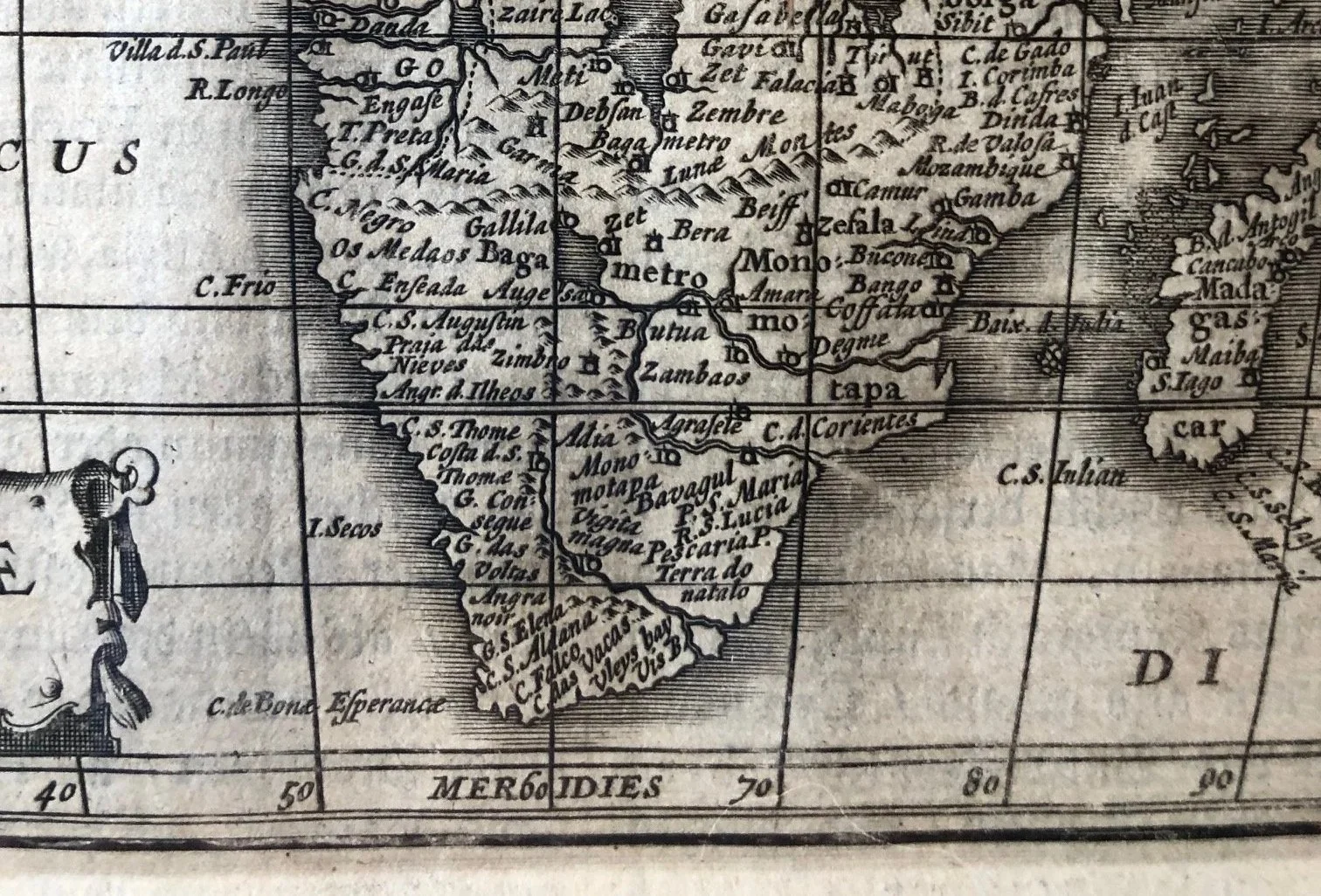
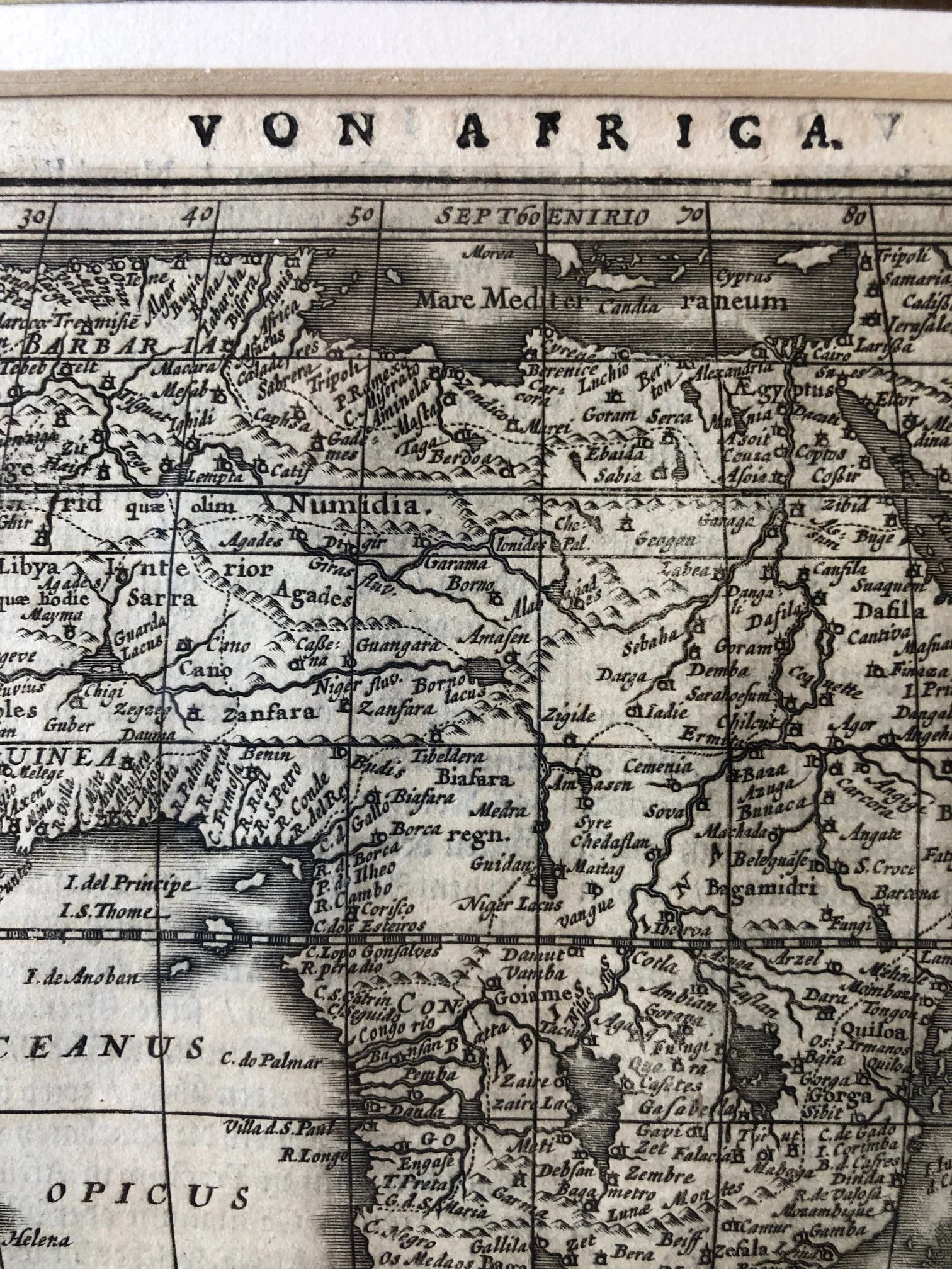
The Myth of the Dual Lakes (The Nile's Source)
See two massive lakes sitting side by side horizontally (Zaire Lacus and Zaflan Lacus). For centuries, European cartographers relied on the ancient theories of Ptolemy (2nd century AD), who claimed the Nile River originated from two great lakes fed by the "Mountains of the Moon" (Lunae montes, which you can see written just below the lakes).
This Ptolemaic layout was repeated blindly for generations. It wasn't until the mid-19th century—roughly 250 years after image.png was printed—that European explorers like Burton, Speke, and Livingstone actually mapped the African Great Lakes (like Lake Victoria and Lake Tanganyika) and realized they don't look or align like this at all.
"Oceanus Ethiopicus"
The South Atlantic Ocean is labeled as OCEANUS ETHIOPICUS (the Ethiopic or Ethiopian Ocean).
From ancient times until the 19th century, "Aethiopia" didn't just refer to the modern nation we know today; it was a blanket term Europeans used for the entire African continent south of the Sahara Desert. Consequently, the ocean surrounding southern Africa was routinely called the Ethiopian Sea or Ocean.
The Empty Interior Fantasy
While the coastlines are packed with accurate Portuguese names from generations of maritime trade routes, the interior of the continent is densely crammed with names of kingdoms like Monomotapa (in the south) and Zenfara.
Cartographers of this era suffered from horror vacui (a fear of empty spaces). Because Europeans had not actually traveled inland, cartographers filled the blanks with speculative geography, rumors of golden empires, and distorted accounts borrowed from Arab geographers like Leo Africanus.
215mm x185mm
Copperplate engraving. Minor creasing.
R6,000