L'Africa, published in Rome by Giovanni Giacomo de Rossi (c.1700)
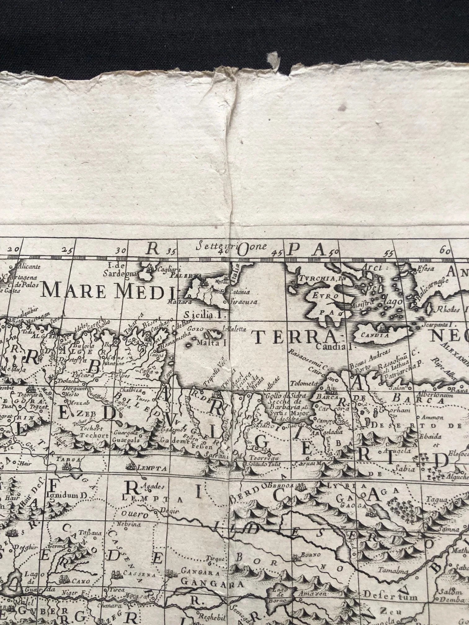
This copperplate engraving is a late 17th-century map titled L'Africa, published in Rome by the famous Giovanni Giacomo de Rossi at his renowned Stamperia alla Pace. It was engraved by Giorgio Widman for De Rossi’s grand atlas, the Mercurio Geografico.
A Franco-Italian Intellectual Alliance
While the map was printed and published in Rome, the cartouche notes that it was corrected and updated based on the work of Guillaume Sanson (Guglielmo Sansone), the official royal geographer to King Louis XIV of France. This reflects a major shift in 17th-century mapmaking: the center of cartographic innovation was moving away from the Netherlands and into France. Italian publishers like De Rossi kept their atlases cutting-edge by licensing, translating, and adapting the latest French military and commercial geography for Mediterranean scholars and elites.
Speculative Geography and Horror Vacui
During the late 1600s, European knowledge of Africa was strictly confined to the coastlines due to trade, shipping routes, and coastal forts. Mapmakers suffered from horror vacui (the fear of empty spaces), so they filled the unexplored interior with dramatic, speculative features:
The Ptolemaic Nile: You can see the Nile River branching deep into Central Africa, drawing on ancient Ptolemaic theories that its waters originated in massive inland equatorial lakes fed by the "Mountains of the Moon."
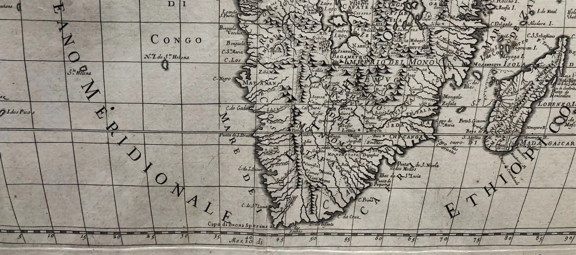
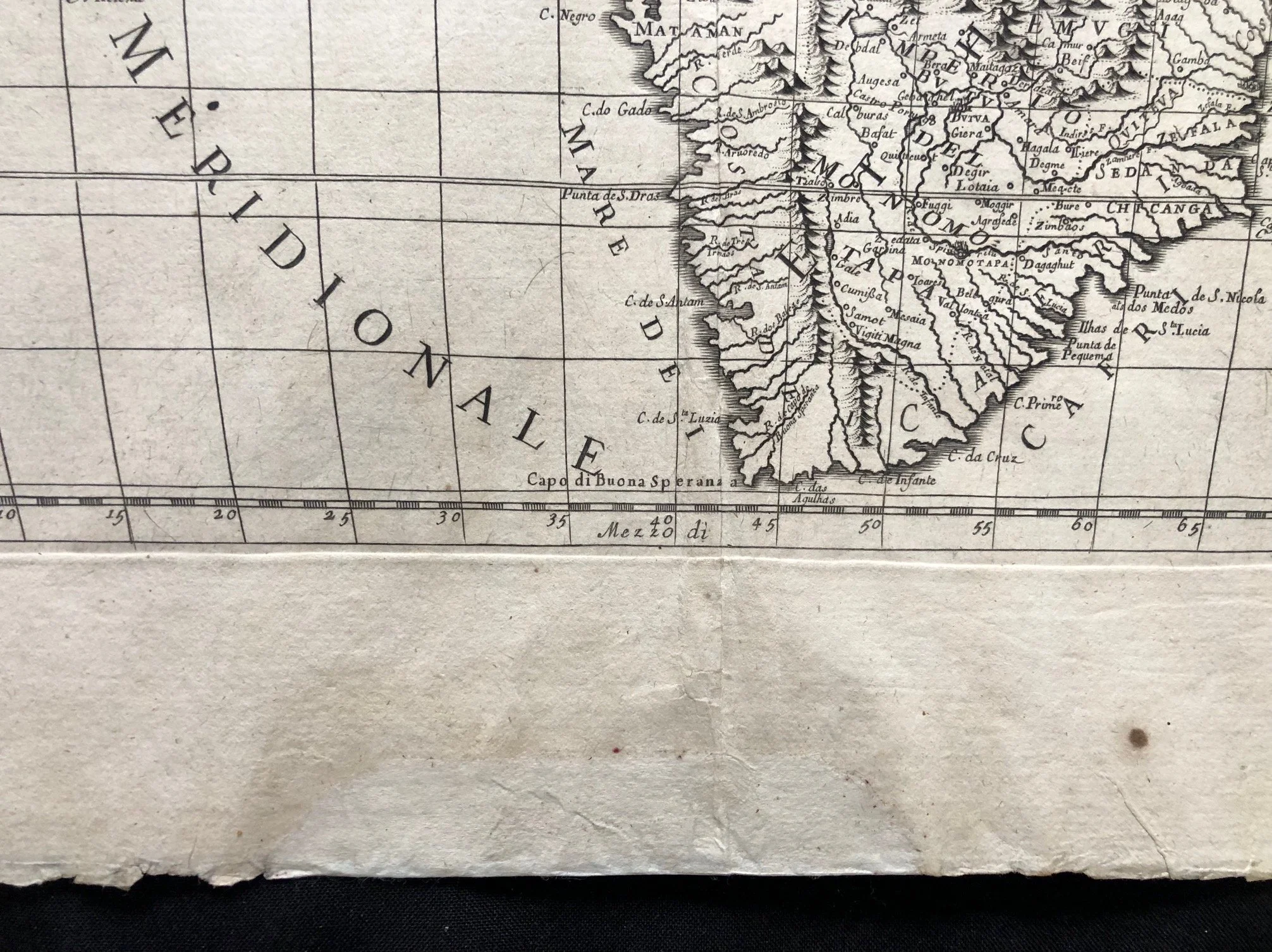
Legendary Empires: The map confidently outlines vast interior kingdoms like the Imperio del Monomotapa (the Mutapa Kingdom of Southern Africa) and the Regno di Congo, long before any European explorer had actually charted their exact borders or internal topography.
Fluctuating Oceanic Names
The naming conventions of the surrounding waters offer a fascinating look at how nautical terminology was still evolving:
The Atlantic is split into Oceano Occidentale (Western Ocean) to the north and Oceano Meridionale (Southern Ocean) below the equator.
The southern reaches of the Indian Ocean surrounding Madagascar are tied to historical terms like Ethiopia, showcasing an era when "Ethiopian" was often used by Europeans as a broad geographic designation for the southern half of the African continent and its adjacent seas.
The Vatican's Printer
Because the De Rossi family press operated con privilegio del Sommo Pontefice (under Papal privilege) near the Vatican, their maps weren't just decorative items; they were vital geopolitical tools. The Roman Catholic Church used highly detailed continental maps like this one to track the reach of their global monastic orders, plan new missionary expeditions, and visually chart the expansion of Christendom across the globe.
Page size: 630mm x 510mm
This map has been repaired in several places, see images.
R12,500