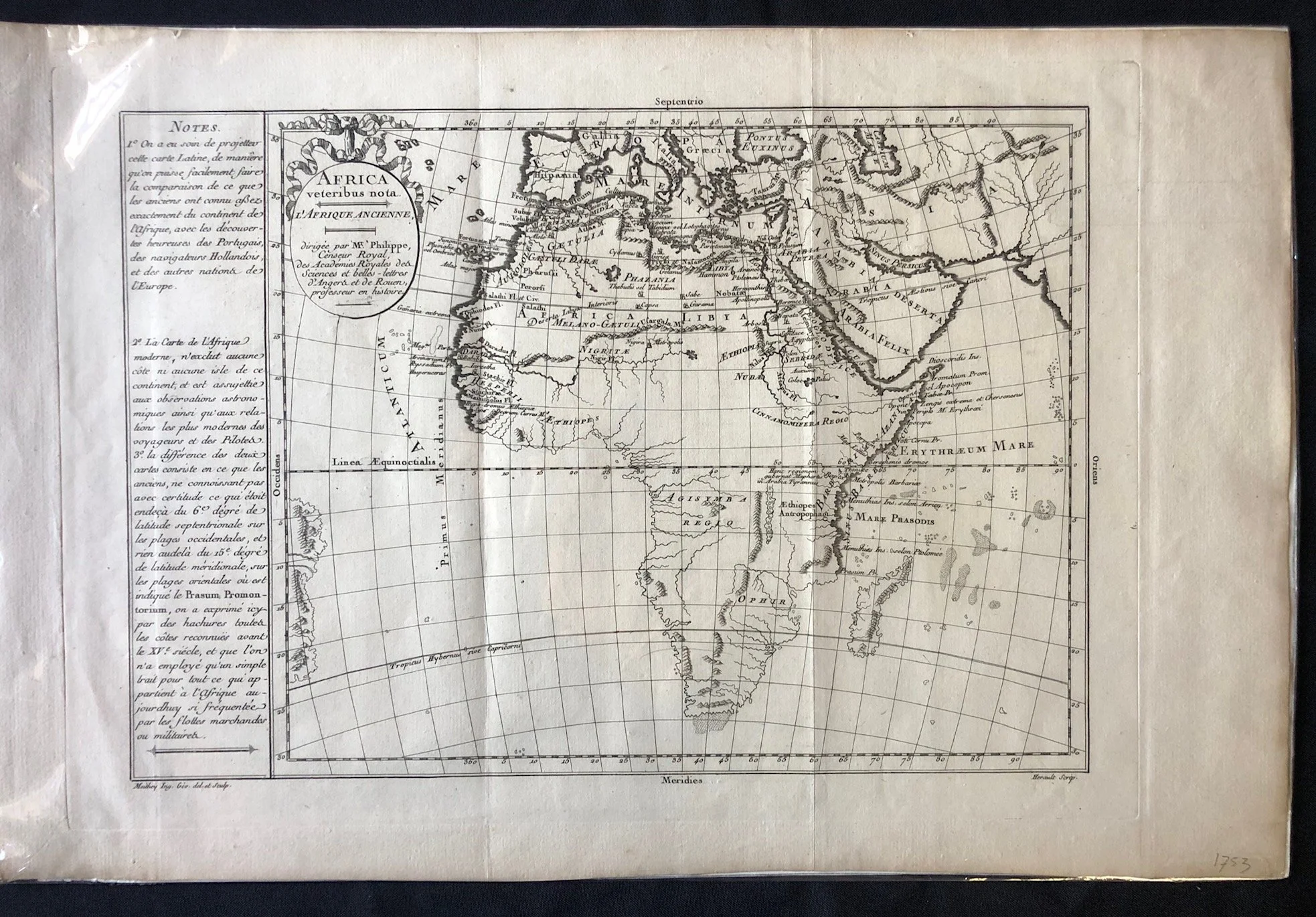
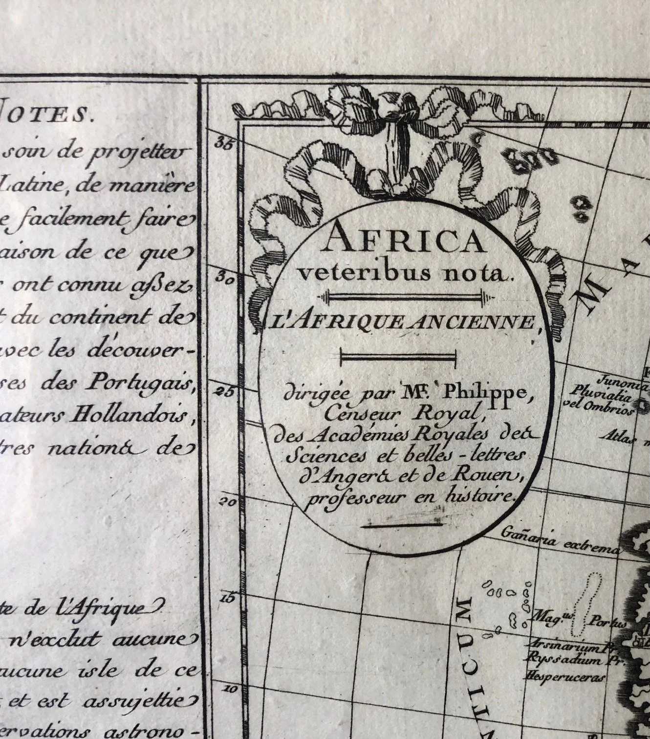
"Africa veteribus nota / L'Afrique Ancienne" (Ancient Africa). (circa 1760s–1780s).
Copperplate engraving.
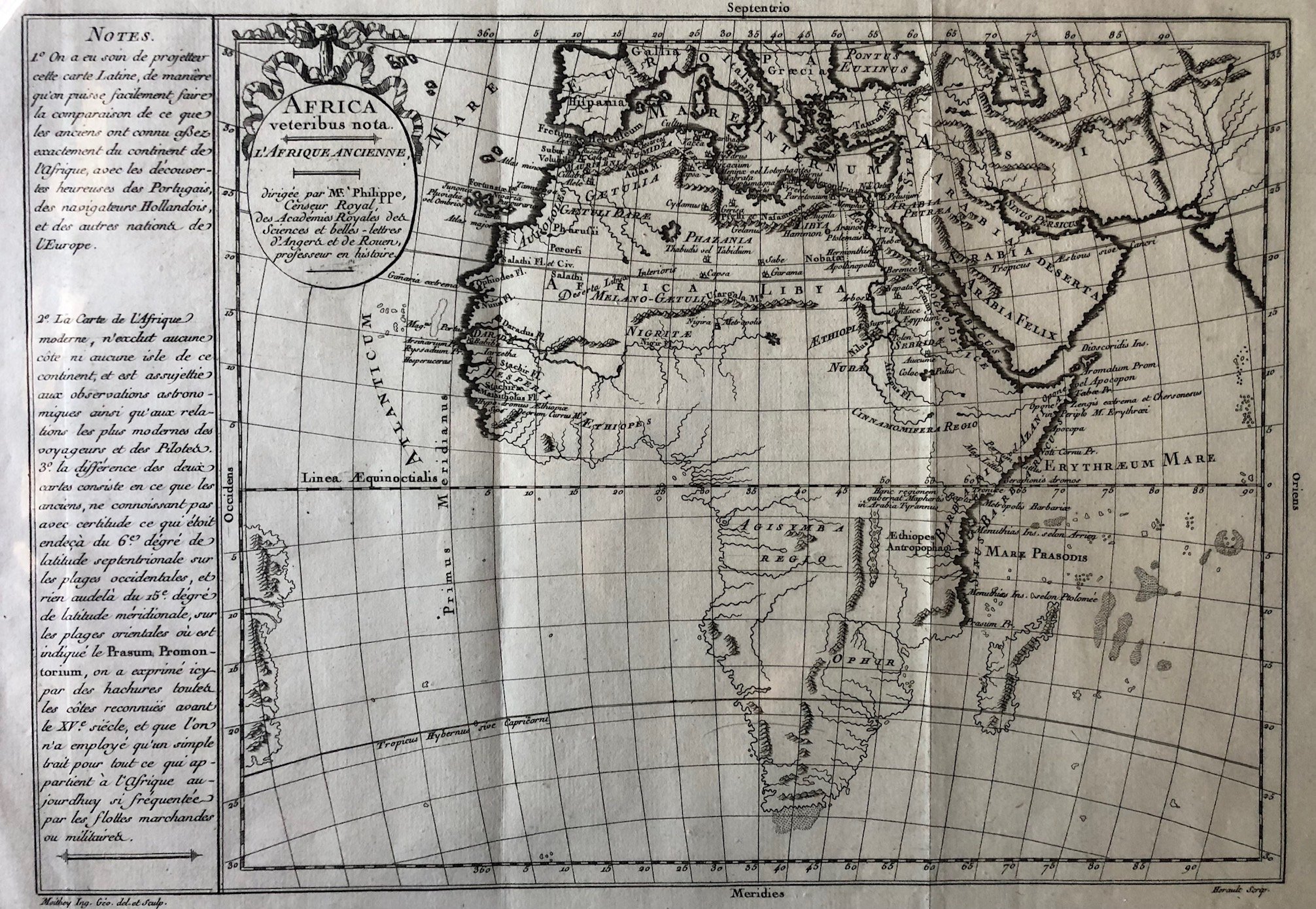
"Africa veteribus nota / L'Afrique Ancienne" (Ancient Africa), was produced in Paris during the late 18th century (circa 1760s–1780s). It was directed by Philippe de Prétot (a royal censor and history professor) and engraved by the prominent geographer Maurille-Antoine Moithey.
Rather than functioning as a standard navigational chart, this is a brilliant example of comparative historical cartography designed as an Enlightenment-era teaching tool.
Visual "Data Layering": Shading the Limits of Antiquity
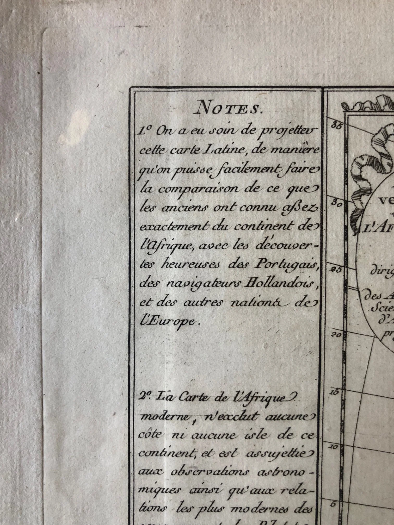
The long text panel under "NOTES" on the left explains a clever graphic technique used by the mapmakers to distinguish between what the ancient Greeks and Romans knew versus what 18th-century Europeans had discovered:
The Hachured Coasts (Shaded lines): The coastlines of North Africa, the Red Sea, and parts of the upper Atlantic and Indian Oceans are heavily shaded with hachures. This indicates the exact limits of the world known to classical antiquity (before the 15th century).
The "Simple Trait" (Bare lines): The rest of the sub-Saharan coastline—including the Cape of Good Hope—is drawn with a single, thin line. This represents the areas mapped only after the 15th century by Portuguese, Dutch, and other European mariners.
It allows an 18th-century viewer to instantly see where classical knowledge faded into speculation.
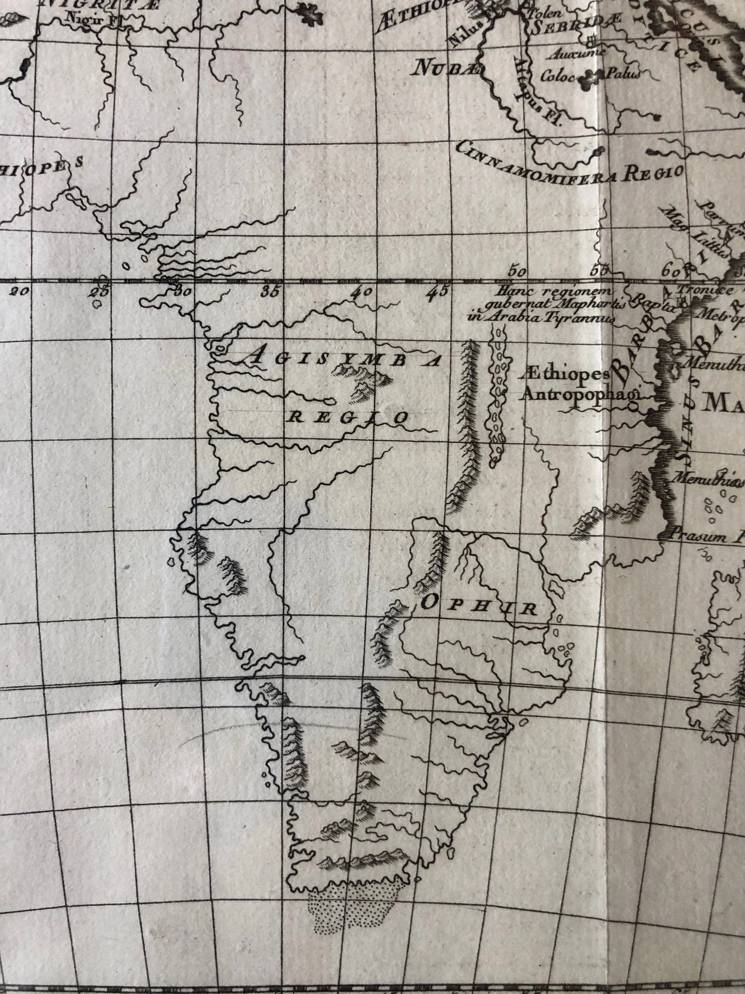
The Speculative Placement of "Ophir"
In the southern interior of the continent, the map places the label "OPHIR."
In biblical tradition, Ophir was the legendary port or region from which King Solomon received shipments of gold, silver, and ivory. For centuries, European scholars and explorers desperately tried to locate it on a map. Following Portuguese accounts of wealthy trading networks on the southeast coast, early geographers routinely mapped Ophir into southeastern and southern Africa—a myth that eventually fueled centuries of gold-seeking expeditions in the region.
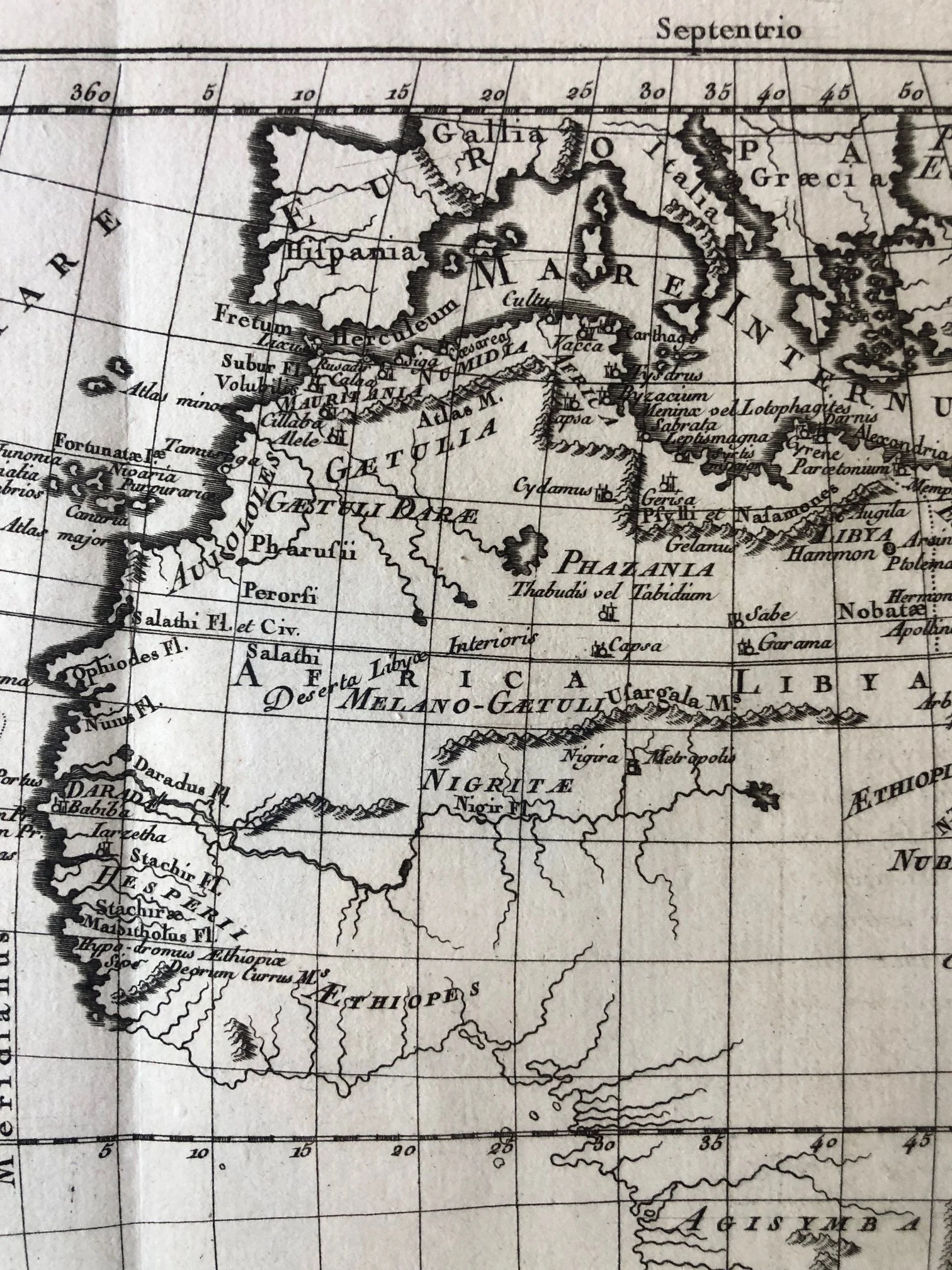
Classical Toponyms and the "Man-Eaters"
Because the map uses classical nomenclature to reconstruct ancient geography, it mixes semi-accurate locations with fantastical ancient anthropology. On the east coast, near Mare Prasodis (the name Ptolemy gave to the southern Indian Ocean), you can find the label "Ethiopes Anthropophagi"—literally mapping the legendary "man-eating Ethiopians" described by ancient Greek writers, demonstrating how long classical myths persisted in European intellectual circles.
The stippling on the southern tip of Africa was some hedge betting by the cartographer as to what exactly the coastline looked like.
495mm x 325mm
Copperplate engraving; minor wear.
R3,000