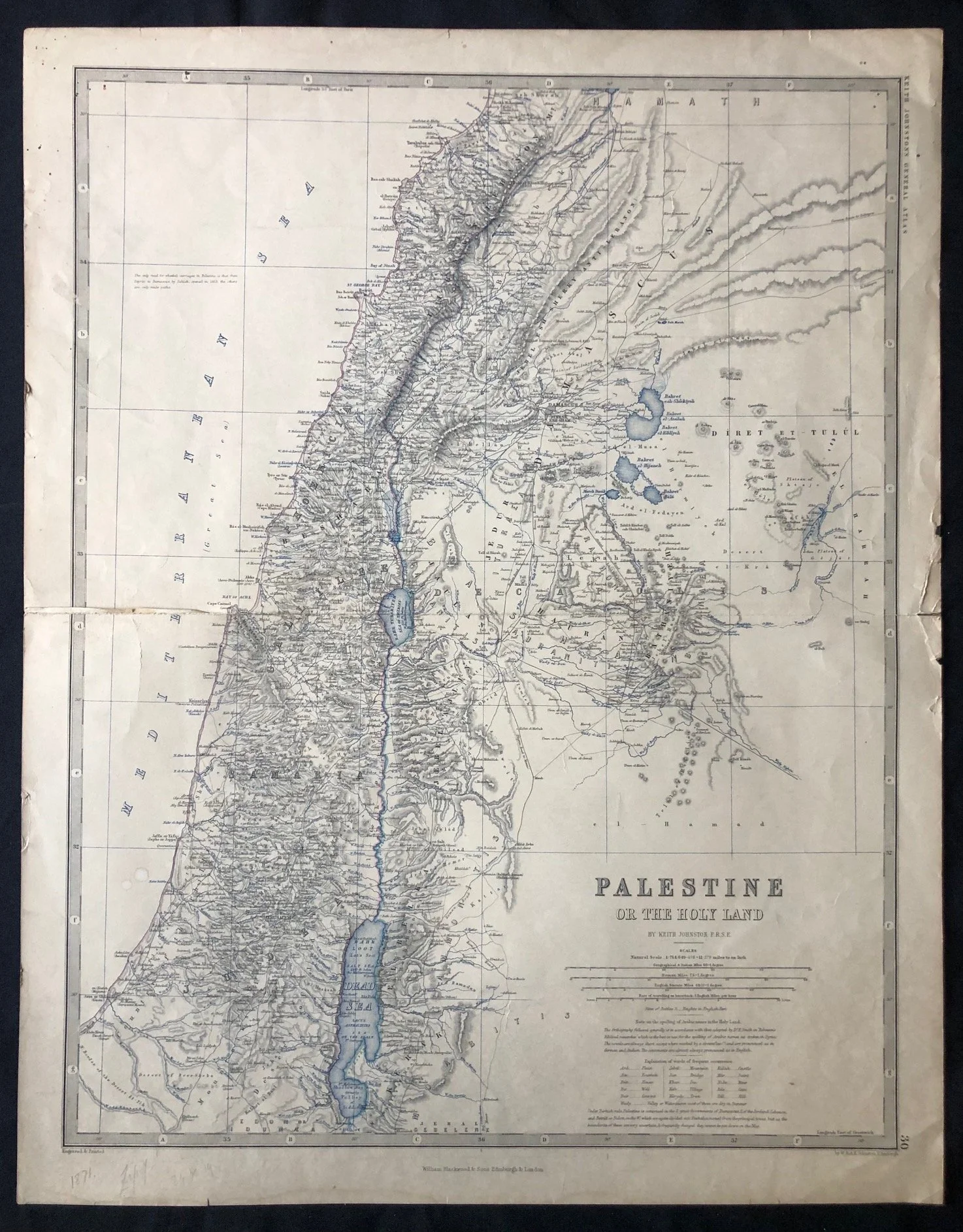
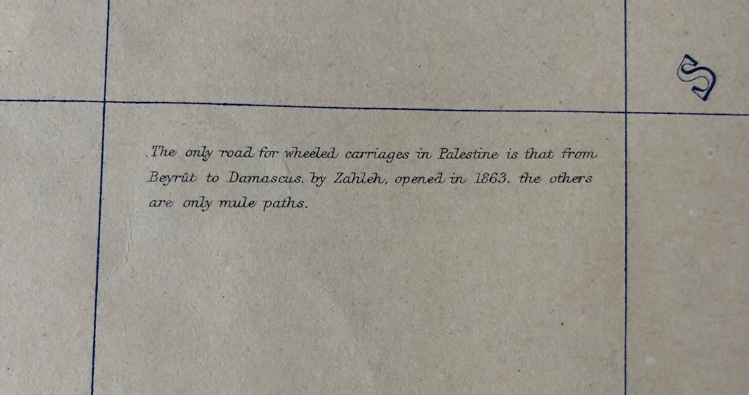
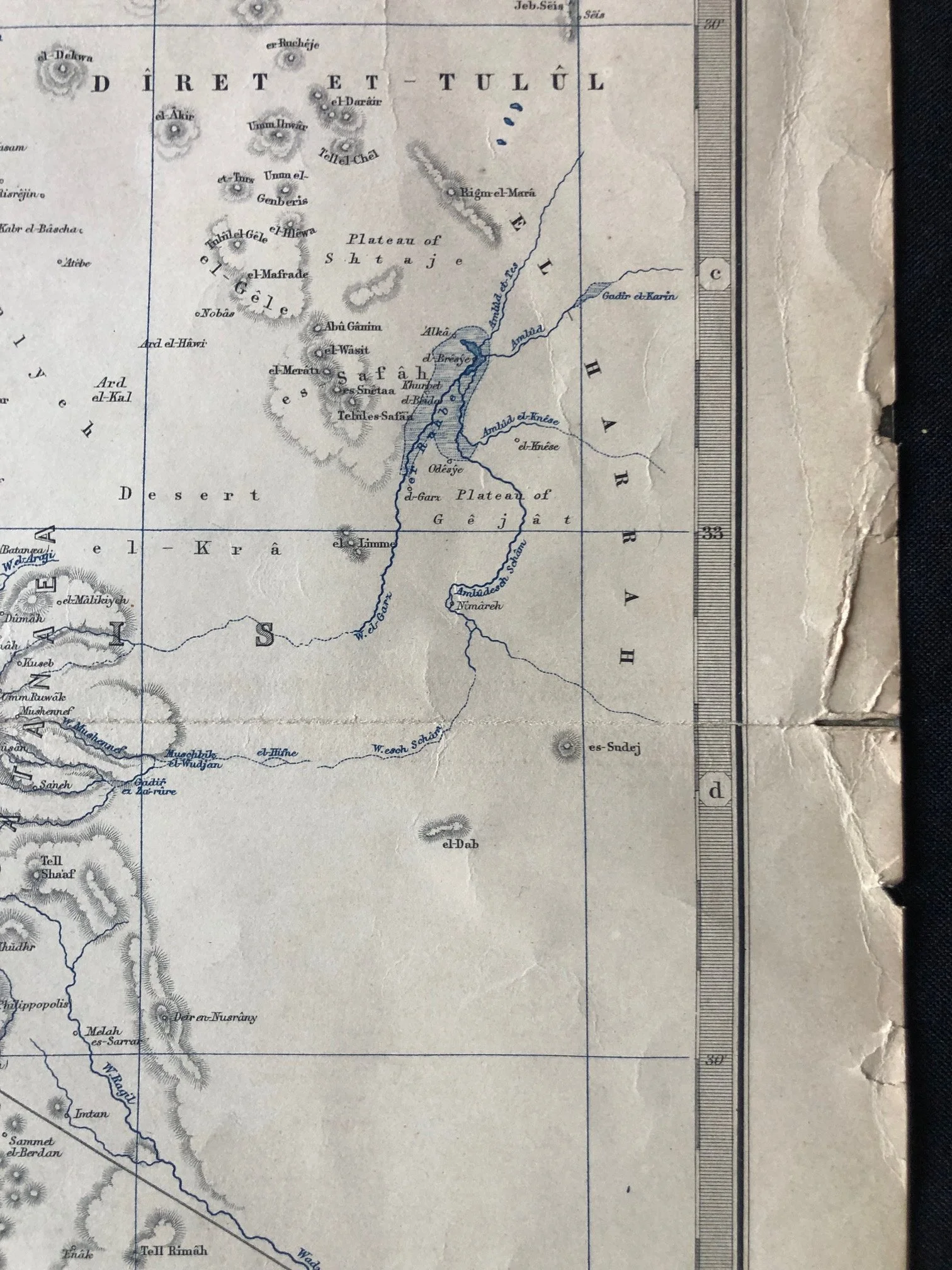
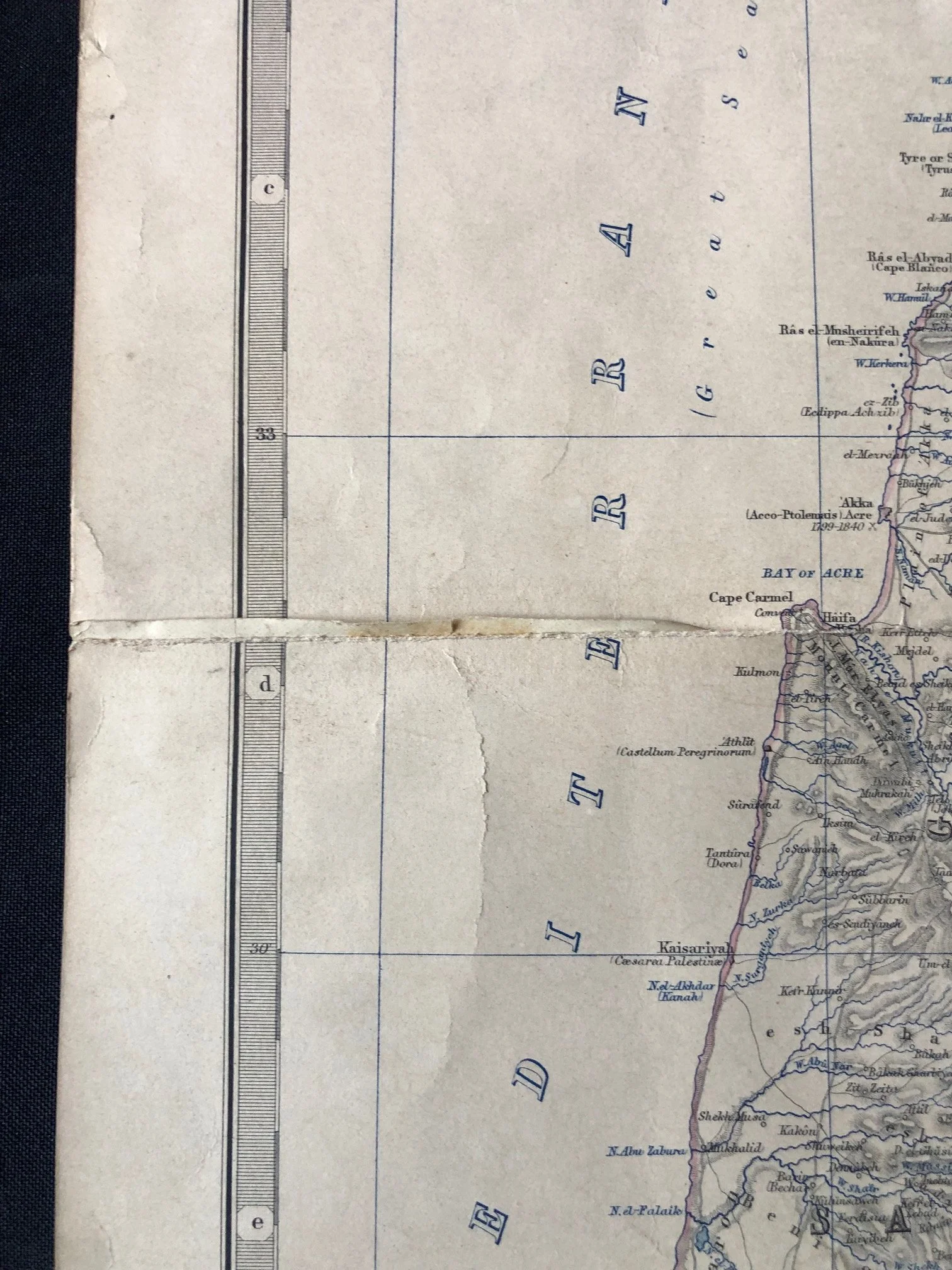
"Palestine or the Holy Land" by Scottish cartographer Alexander Keith Johnston (c.1871)
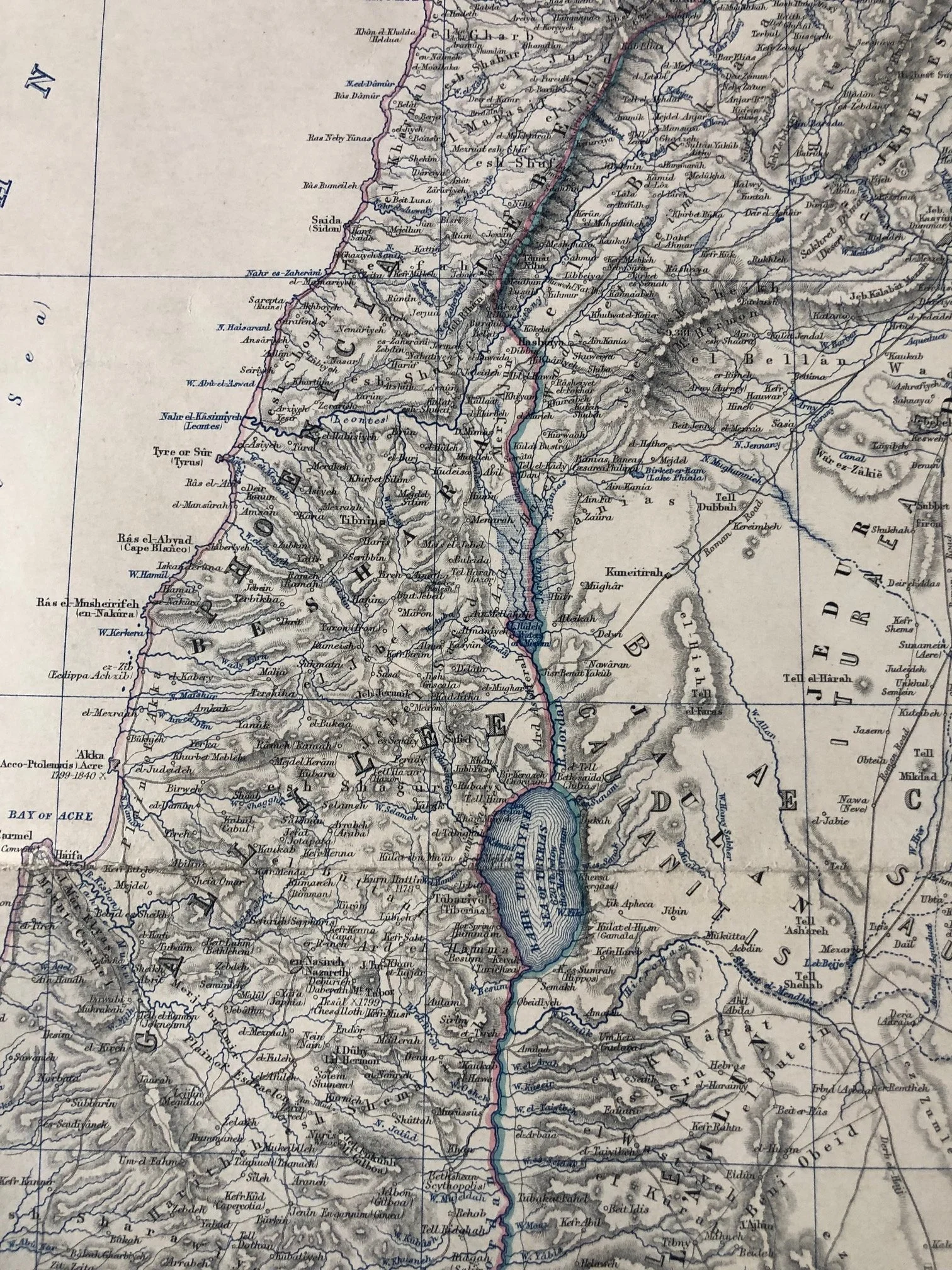
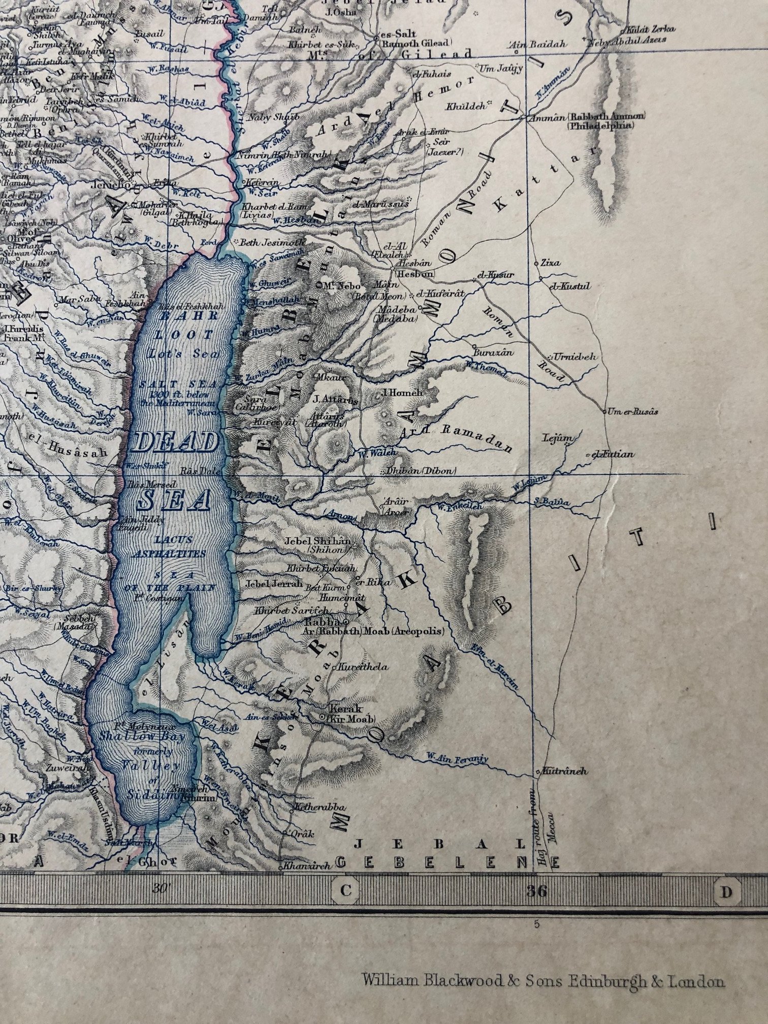
This map, titled "Palestine or the Holy Land" by the prominent Scottish cartographer Alexander Keith Johnston, is a classic example of 19th-century scientific cartography meeting biblical archaeology.
The Influence of Edward Robinson and Eli Smith
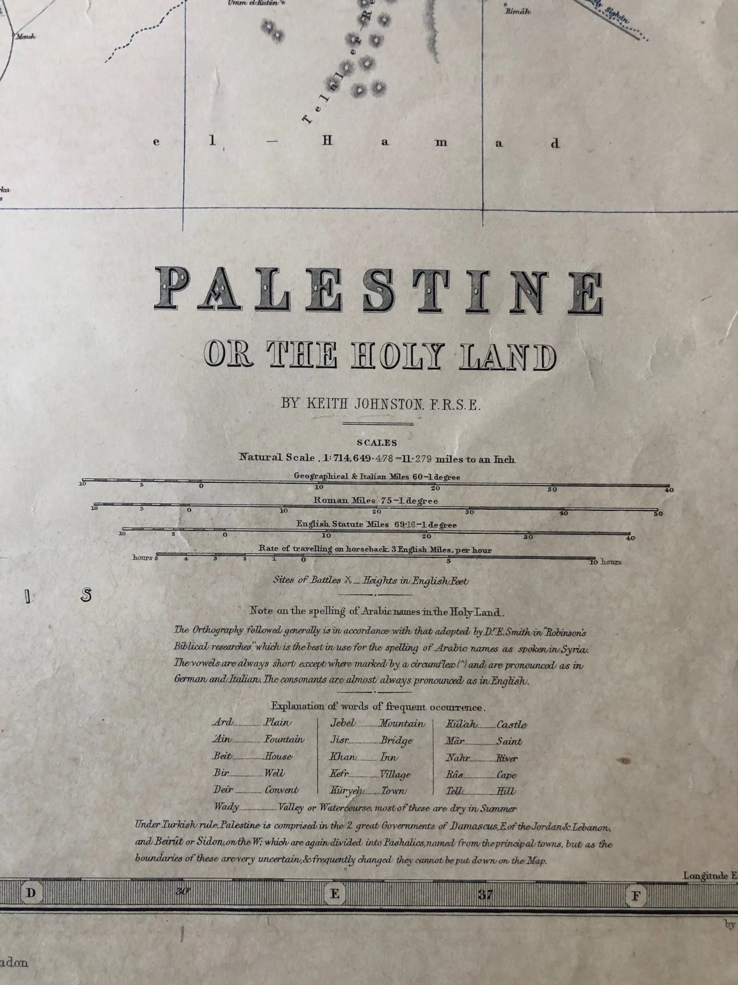
In the explanatory notes Johnston explicitly credits the spelling of Arabic place names to the system adopted by Dr. Eli Smith in "Robinson's Biblical Researches."
This refers to the work of American theologian Edward Robinson and missionary Eli Smith, who toured the region in 1838 and 1852. Instead of relying on crusader traditions or church myths, they interviewed local Arab populations to record traditional Arabic toponyms, realizing these names often preserved ancient Hebrew names through phonetic evolution (e.g., Beitin for Bethel, Anata for Anathoth). This map directly incorporates the influential piece of empirical, linguistic field research.
A Travel Scale for Horseback Pilgrims
The scale bar contains a fascinating operational metric typical of mid-to-late 19th-century travel in the Levant: a scale for the "Rate of travelling on horseback, 3 English Miles per hour."
During this period, Western tourism, biblical archaeology, and religious pilgrimage exploded. Because there were virtually no paved roads or railways in the interior of Palestine at the time Johnston first engraved this map, distances were universally calculated by hours in the saddle. This scale transformed the map from an abstract geographical document into a highly practical travel planner.
Late Ottoman Geopolitics and Administrative Fluidity
At the bottom, Johnston provides an insightful footnote regarding the contemporary political reality under the Ottoman Empire (referred to here as "Turkish rule"):
"Under Turkish rule, Palestine is comprised in the 2 great Governments of Damascus... and Beirût or Sidon... which are again divided into Pashalics, named from the principal towns, but as the boundaries of these are very uncertain, & frequently changed they cannot be put down on the Map."
This note captures the administrative fluidity of the region during the Ottoman Tanzimat reform era. The central government in Constantinople repeatedly restructured the provincial boundaries of the Levant to curb the power of local governors and combat European imperial encroachment, making it a constant headache for European map publishers to keep up with regional borders.
490mm x 630mm
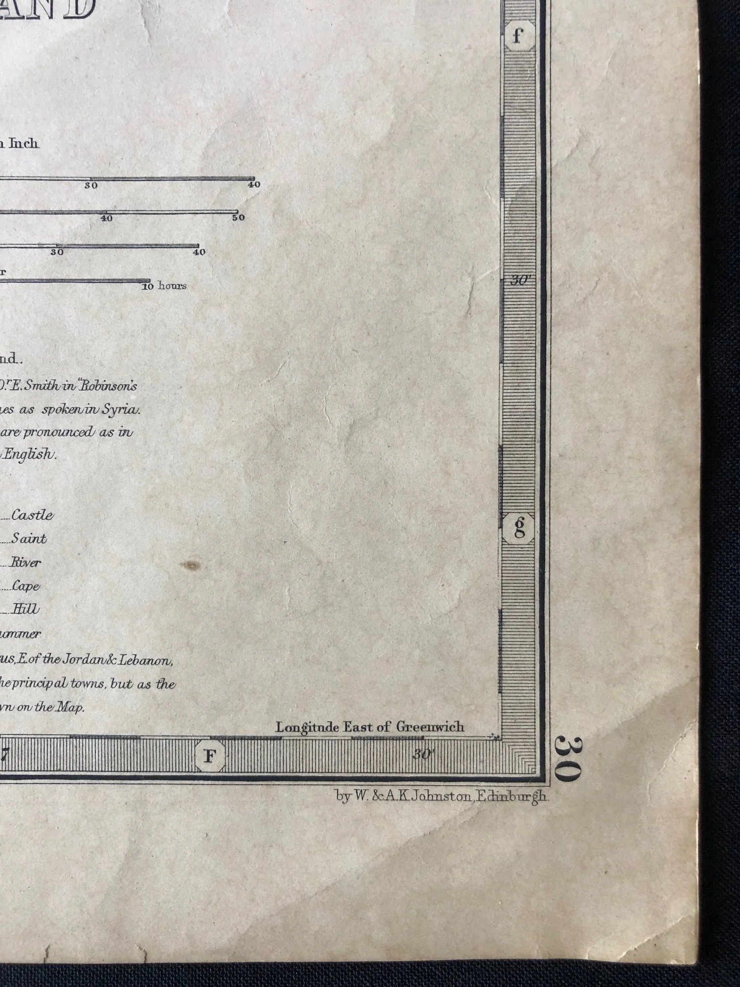
Hand coloured engraving. Torn along the folds and edges. Sellotape residue; thumbed and creased.
R2,500