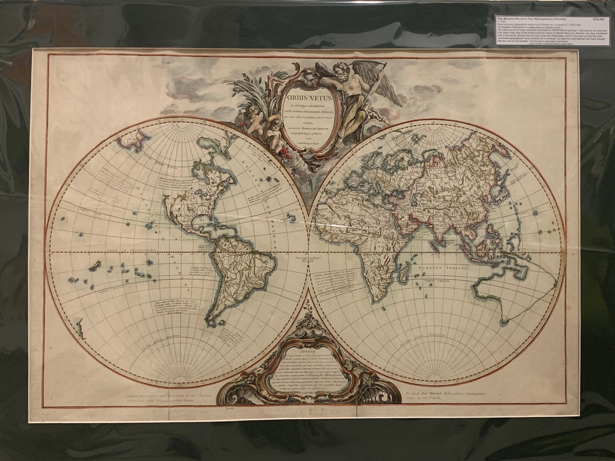
The Ancient World in Two Hemispheres by Robert de Vaugondy (Atlantis) c.1752
Hand-coloured copperplate engraving by Robert de Vaugondy (c.1723–1786).
The Western Hemisphere is designated as “Atlantis Insula.”
The Latin text in the lower cartouche translates to “MONITUM (a warning): Lest anyone be surprised, if he sees in this map of the whole world the island of Atlantis facing our America, we have considered that he should be advised that we have done this deliberately, since in the past only the more celebrated geographers have restored this to antiquity, but also the most learned men have thought that this island once existed.”
Some minor restoration and tears.
745mm x 500mm excluding mountboard (unframed)
R35,000