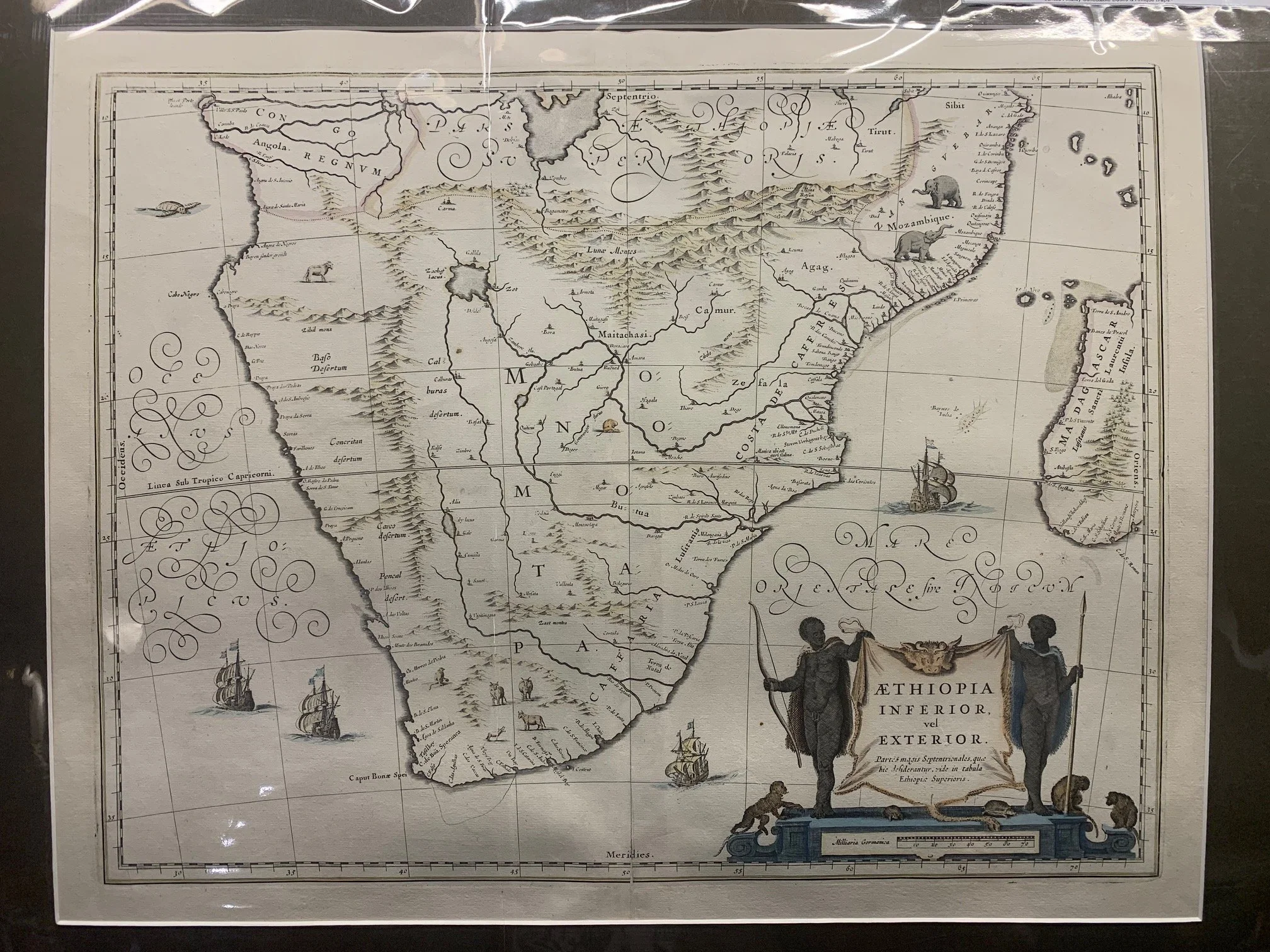
Blaeu Map of Southern Africa c.1635
By Willem Janzoon Blaeu (1571–1638)
c.1635.
Hand-coloured copperplate engraving.
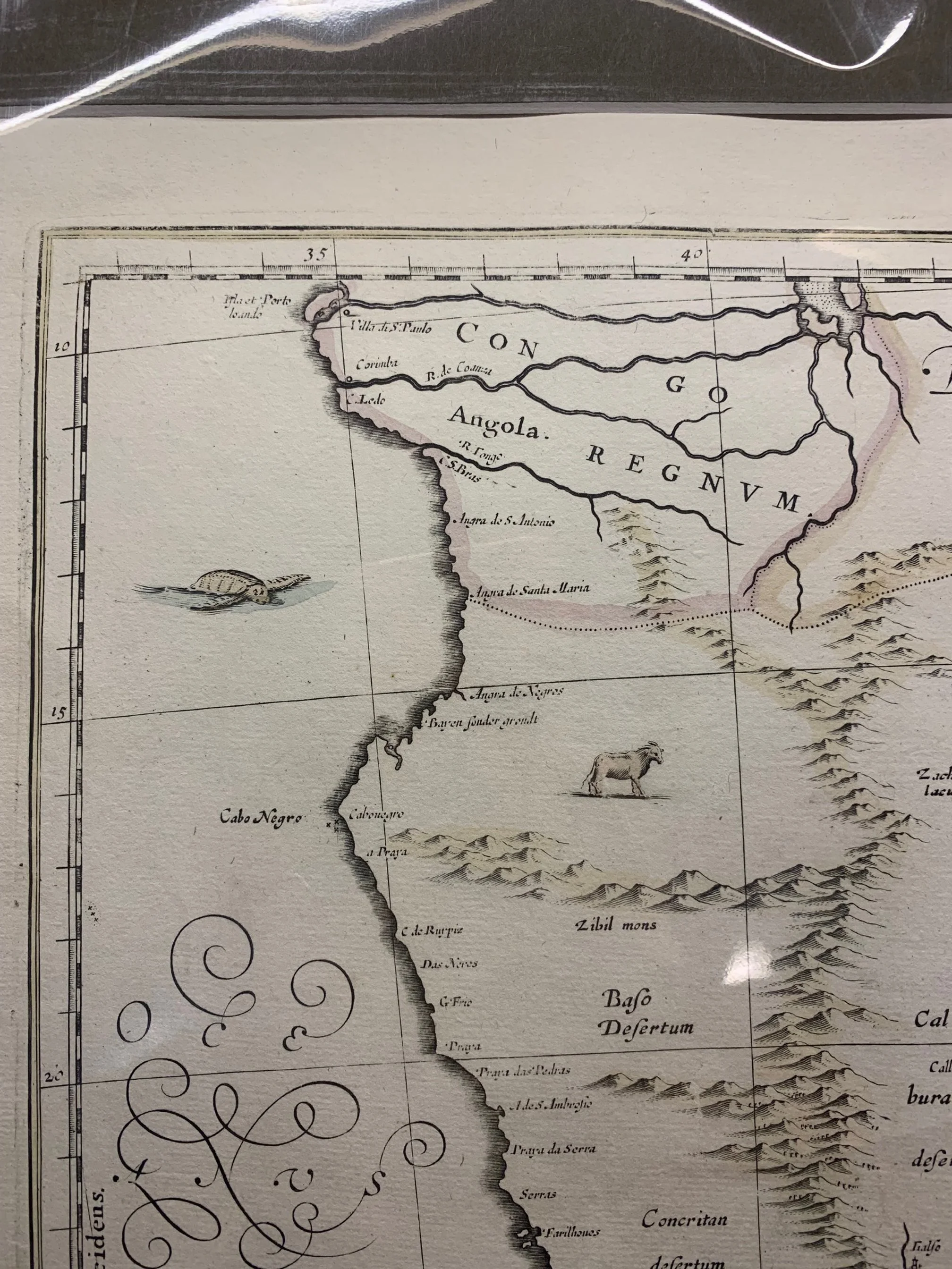
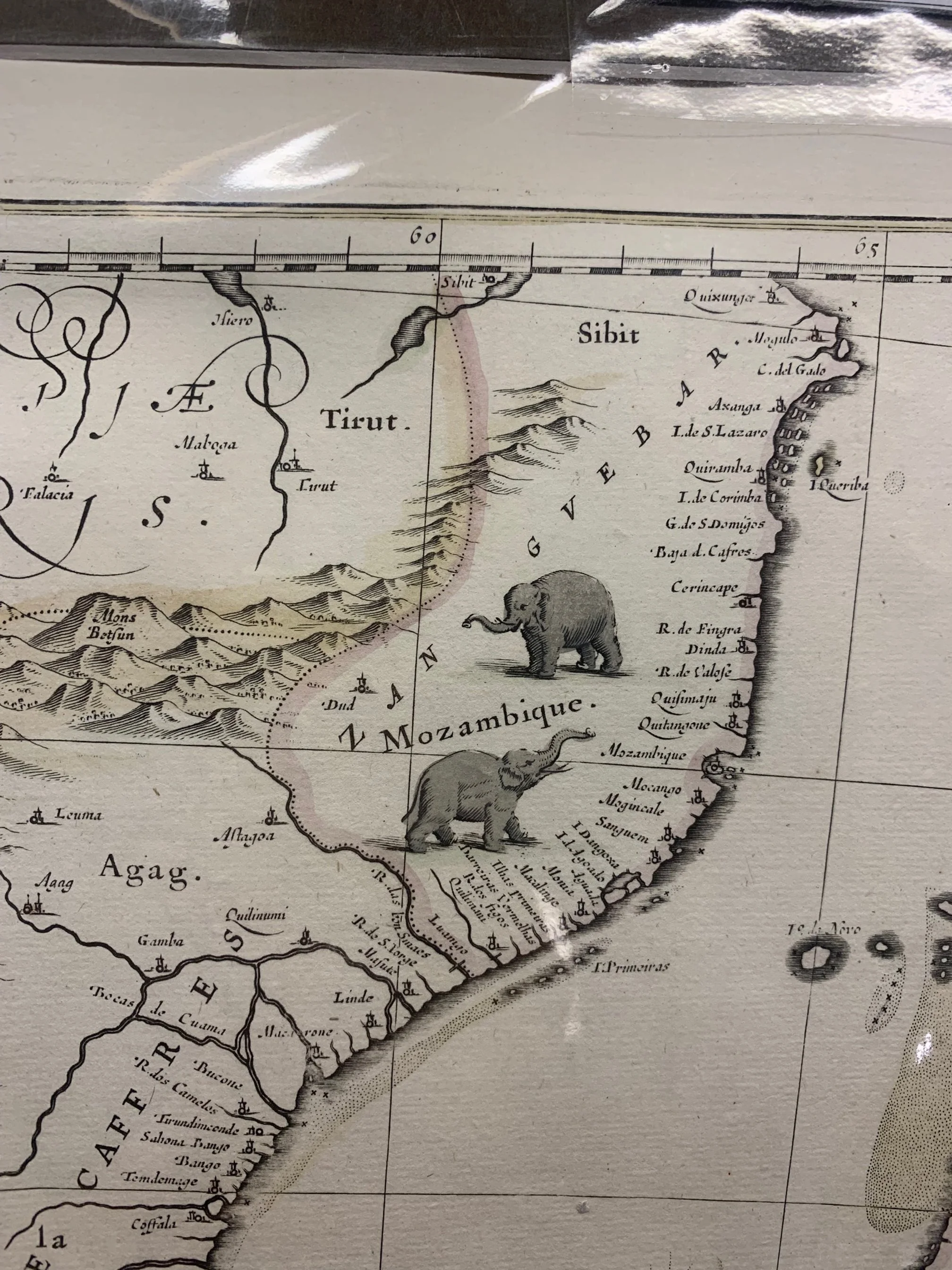
Africa is depicted with cities, buck and elephant. In the oceans can be seen sailing ship, and a turtle. The decorative cartouche features a scale in German miles on a neoclassical carved marble like base. On the top are three Colobus monkeys (East Africa), two tortoises, and two Africans holding up an animal skin. Also featured are Table Bay and the Cape of Good Hope (20 years prior to Jan van Riebeek’s’ settlement). Matthaus Merian copied this map and published it in 1638. See Norwich map 154.
Restored and recoloured.
535mm x 420mm excluding mountboard (unframed)
R12,500