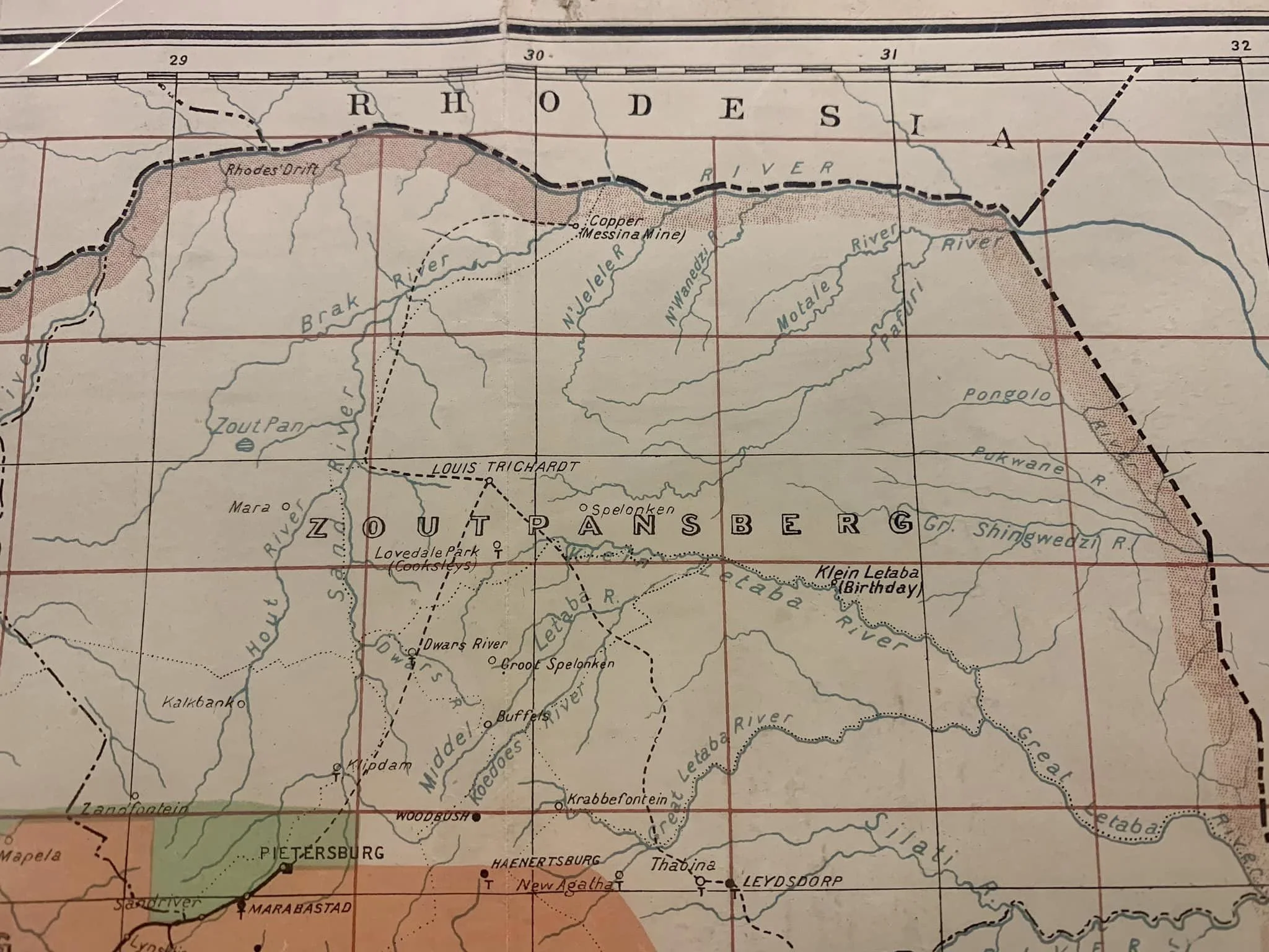
Map of the Transvaal Colony
Surveyed in 1909, printed c.1920.
Offset litho, printed by The Government Printer. Published in a government “blue book”. This map is unusual because it depicts the period between the Boer War and South Africa becoming a Union (known as British Imperial Rule). Swaziland was a British Protectorate at the time.
520mm x 440mm excluding mountboard
R3,500