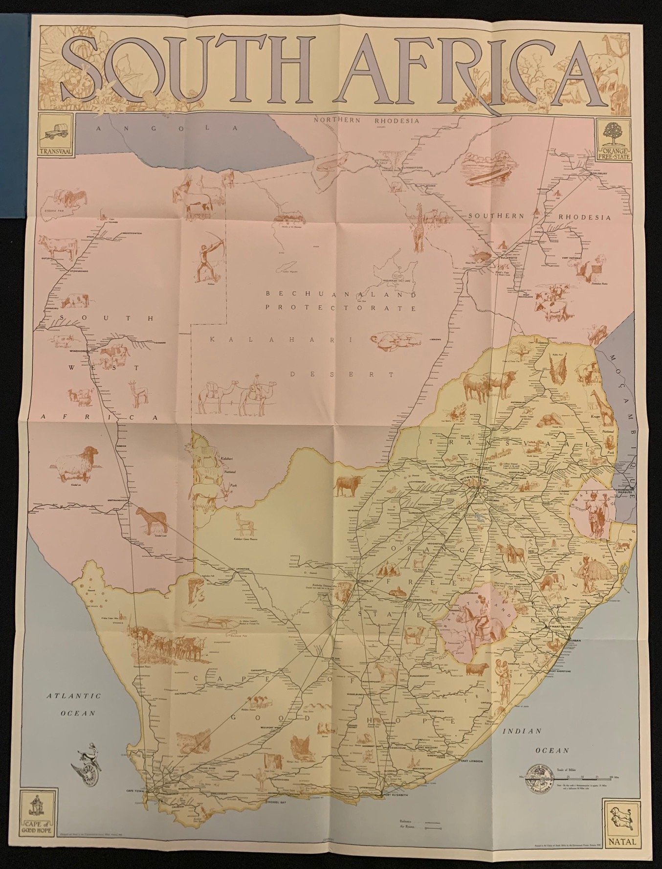
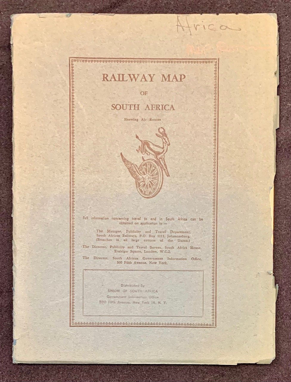
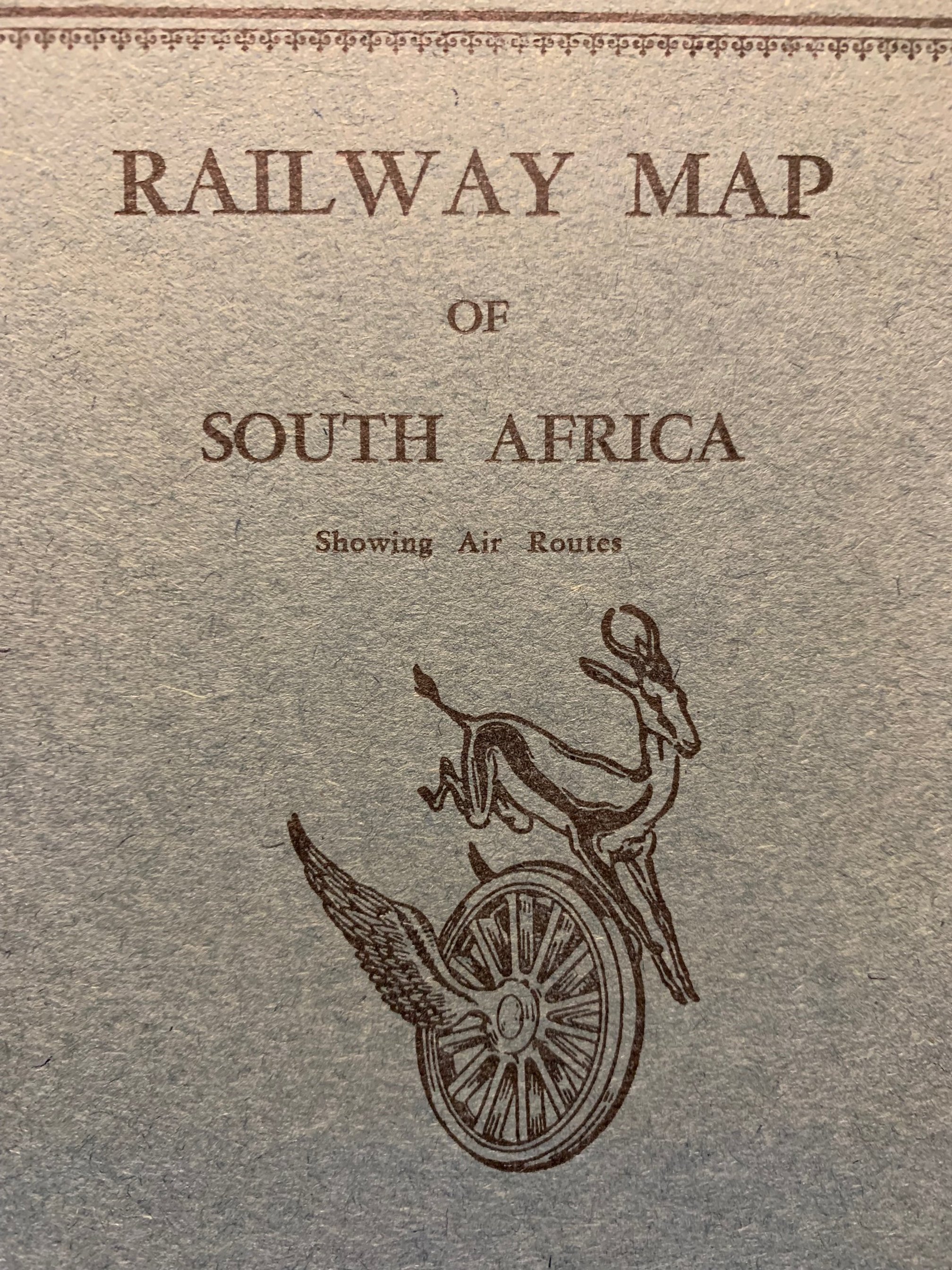
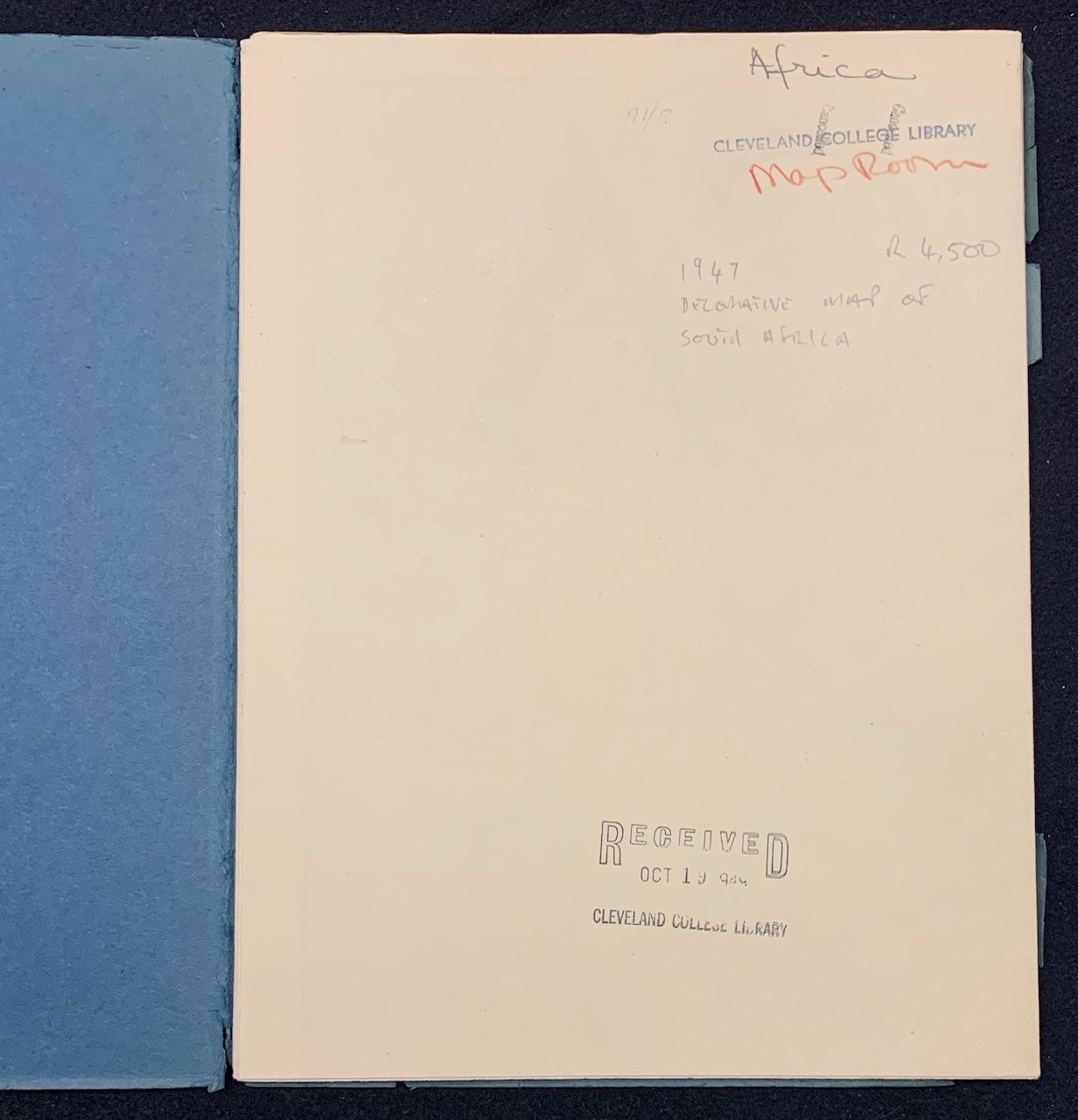
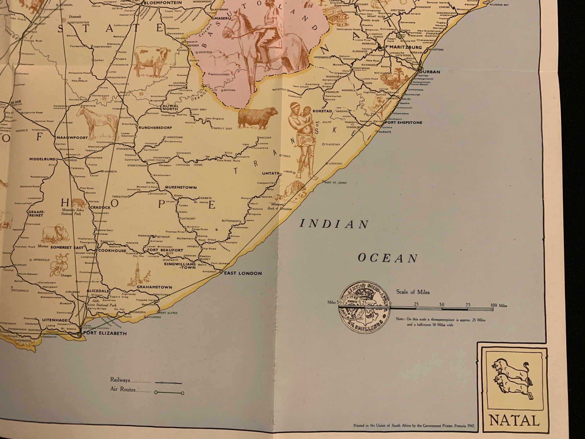
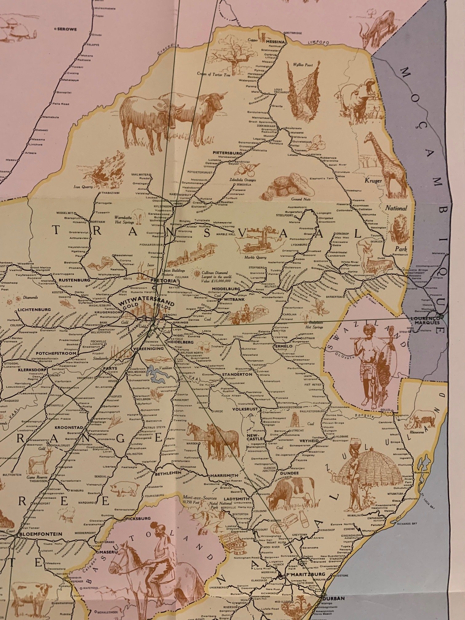
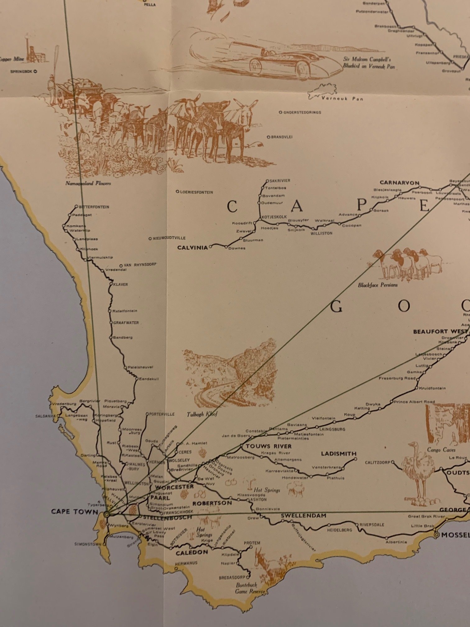
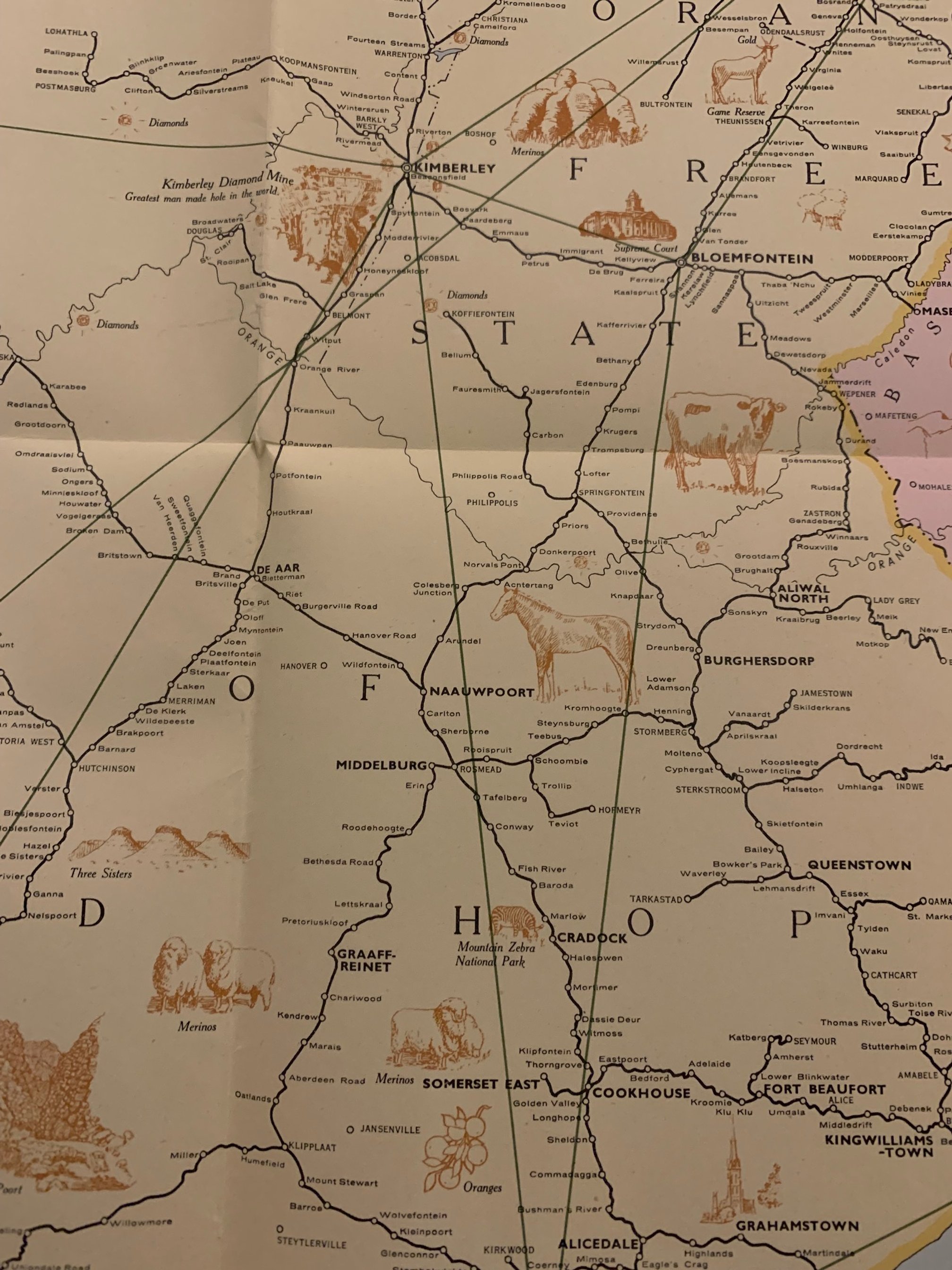
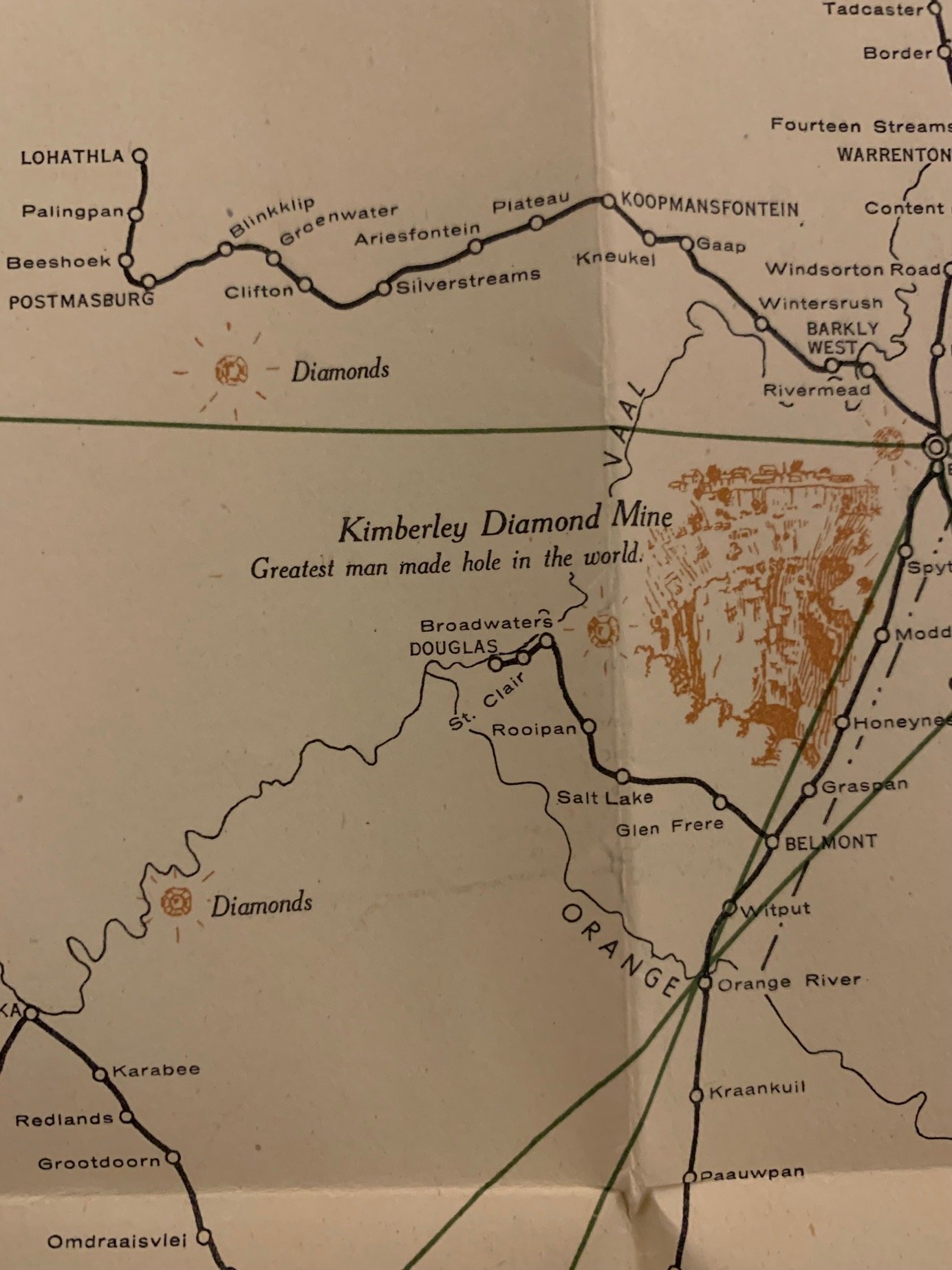
Railway Map of South Africa 1947
Printed in the Union of South Africa by the Government Printer, Pretoria 1947.
The Union of South Africa was a British Dominion and, later, a Commonwealth realm in southern Africa from 1910 to 1961. It was the historical predecessor to the present-day Republic of South Africa. It came into existence on 31 May 1910 with the unification of the Cape, Natal, Transvaal, and Orange River colonies. It included the territories that were formerly part of the South African Republic and the Orange Free State.
745mm x 990mm unfolded.
Sold Nov’25