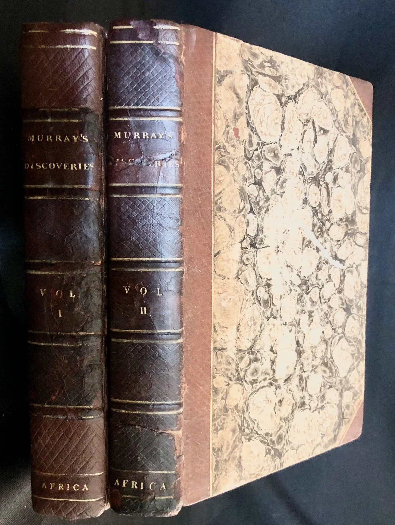
Historical Account of Discoveries and Travels in Africa by Hugh Murray (1818)
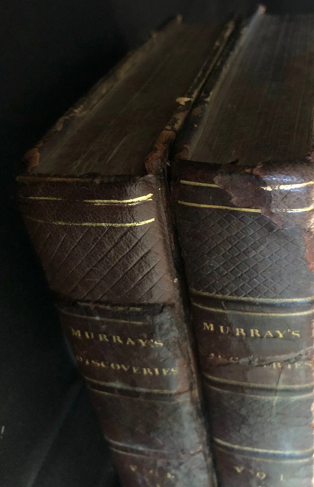
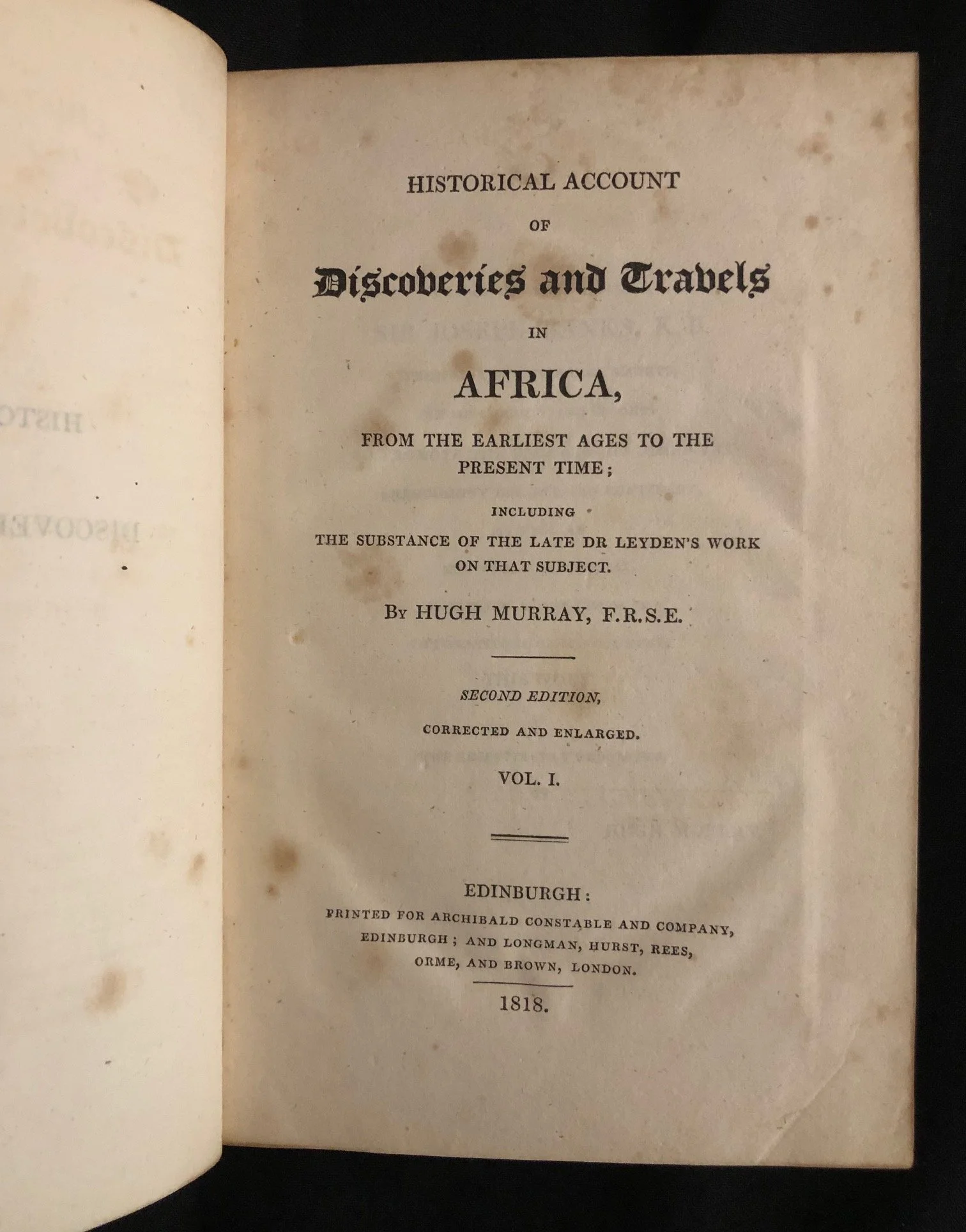
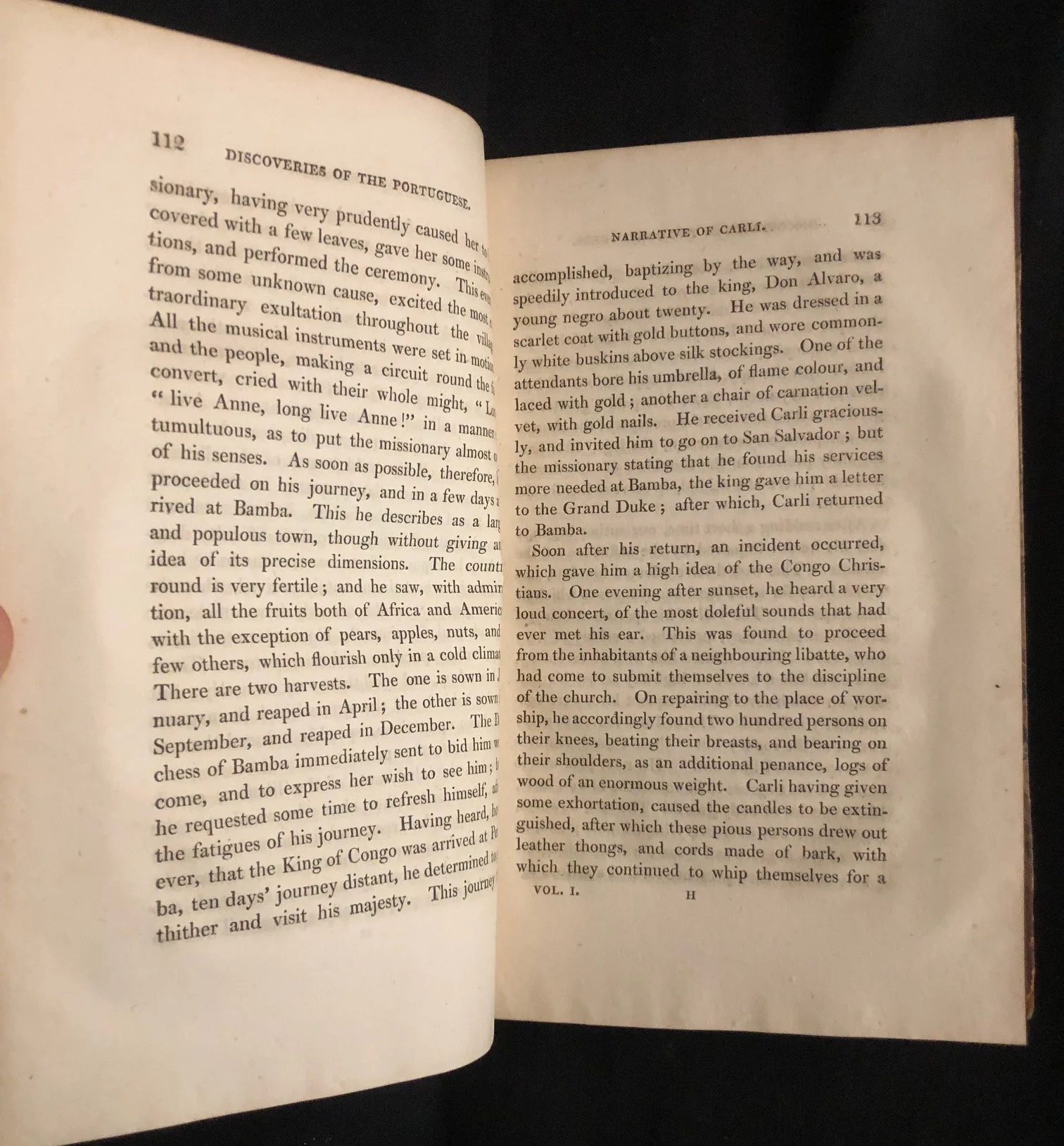
This is the 1818 second edition ("corrected and enlarged") of Historical Account of Discoveries and Travels in Africa, from the Earliest Ages to the Present Time; Including the Substance of the Late Dr. Leyden's Work on that Subject, written by Scottish geographer Hugh Murray, F.R.S.E., and printed in Edinburgh for Archibald Constable and Company (and Longman, Hurst, Rees, Orme, and Brown in London).
Historical Significance
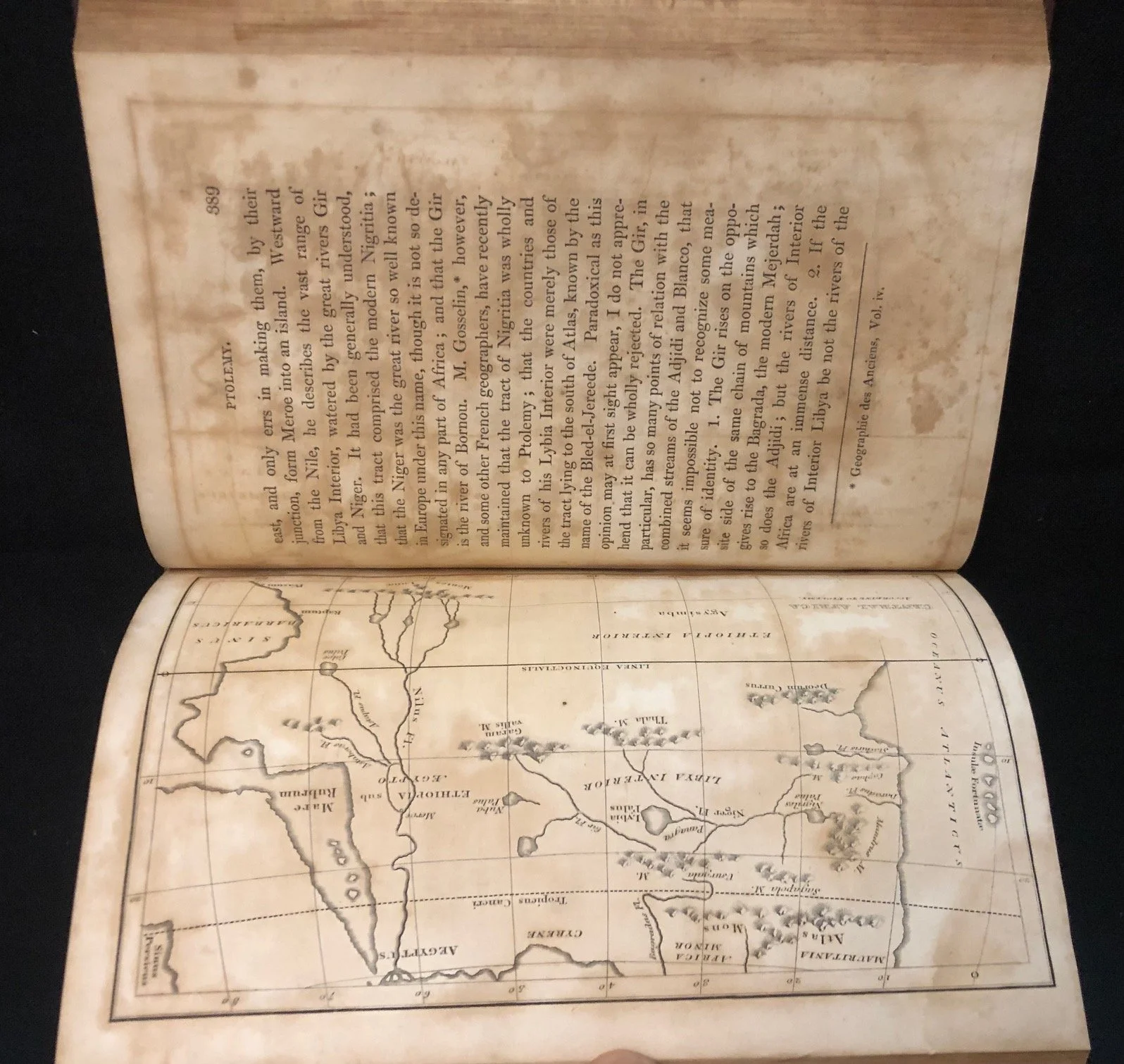
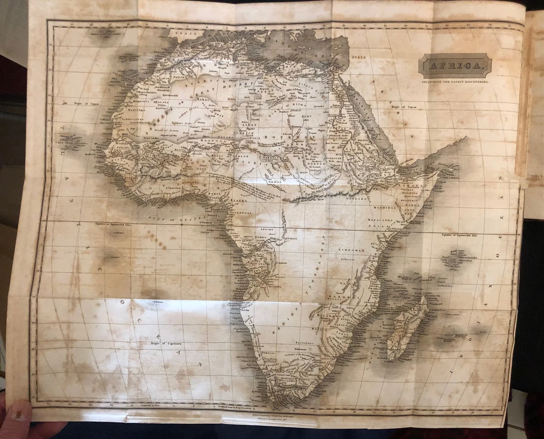
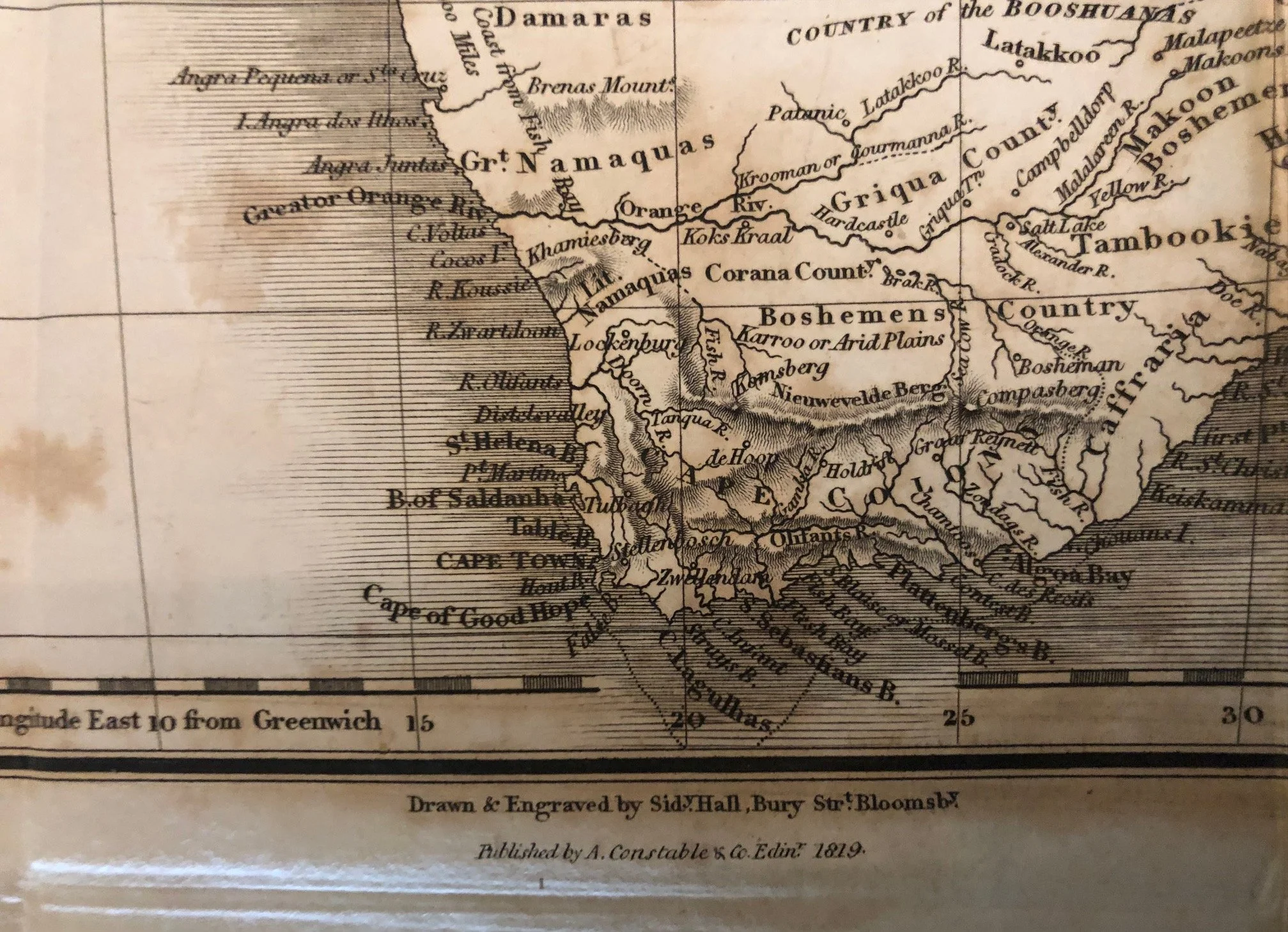
A Snapshot of Pre-Colonial Cartography: Published in 1818 decades before the major mid-19th-century European expeditions into the interior by figures like Livingstone, Burton, Speke, and Stanley, this book captures the limits of European geographical knowledge of Africa at the time. As shown on the fold-out map titled "Africa, Including the Latest Discoveries," coastal regions, North Africa, and parts of West and Southern Africa are densely mapped, while vast stretches of the central and southern interior remain blank or sparsely labelled.
The Niger River Mystery: In 1818, one of the greatest unsolved geographic puzzles for European scholars was the course and termination of the Niger River. Mungo Park had died on the river in 1806 without proving where it ended (many geographers still speculated it flowed east to join the Nile or dissipated into an inland swamp; it wasn't proven to empty into the Gulf of Guinea until the Lander brothers' expedition in 1830). Murray's enlarged 1818 edition compiled all existing classical, Arab, and contemporary European accounts to weigh competing theories on African river systems.
The Tragic Backstory of Dr. John Leyden: The title page notes that the book includes the substance of "the late Dr. Leyden's work". John Leyden (1775–1811) was a brilliant Scottish polymath, poet, physician, and linguist (a close friend of Sir Walter Scott) who published a single-volume Historical & Philosophical Sketch of the Discoveries & Settlements of the Europeans in Northern & Western Africa in 1799. Leyden died of fever in Java at age 35 in 1811 while serving as a naturalist and linguist, prompting Hugh Murray to take up Leyden's unfinished plans, vastly expand the scope to cover the entire continent, and publish the updated two-volume work.
Bibliographic & Physical Description
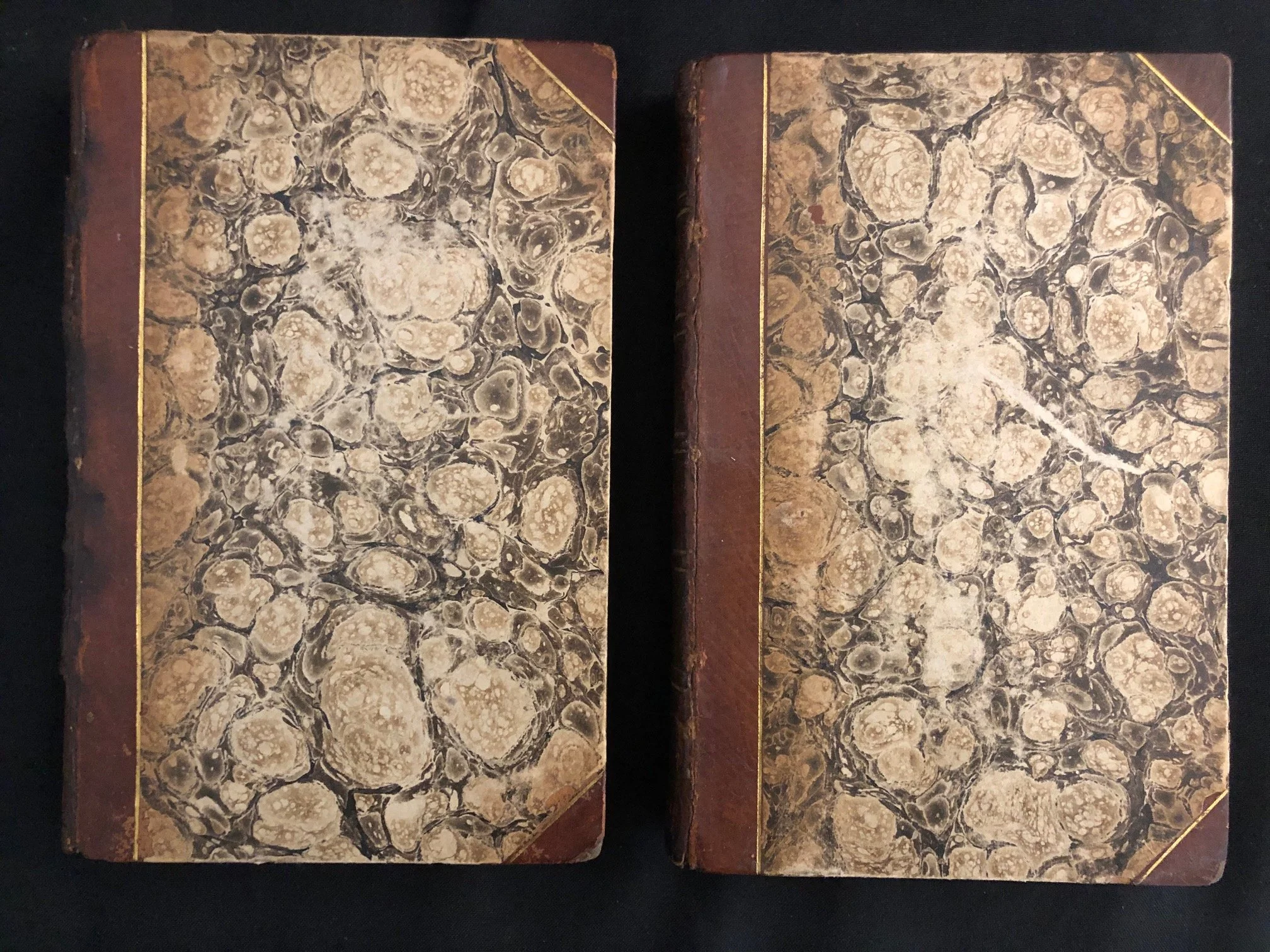
Edition & Desirability: This is the 1818 Second Edition, widely considered the more desirable edition among collectors because it was substantially corrected and enlarged from the 1817 first edition.
Collation & Volumes: complete two-volume pagination as xxiii, 557 pages for Vol. I and viii, 550 pages for Vol. II (with Vol. I shown on the title page).
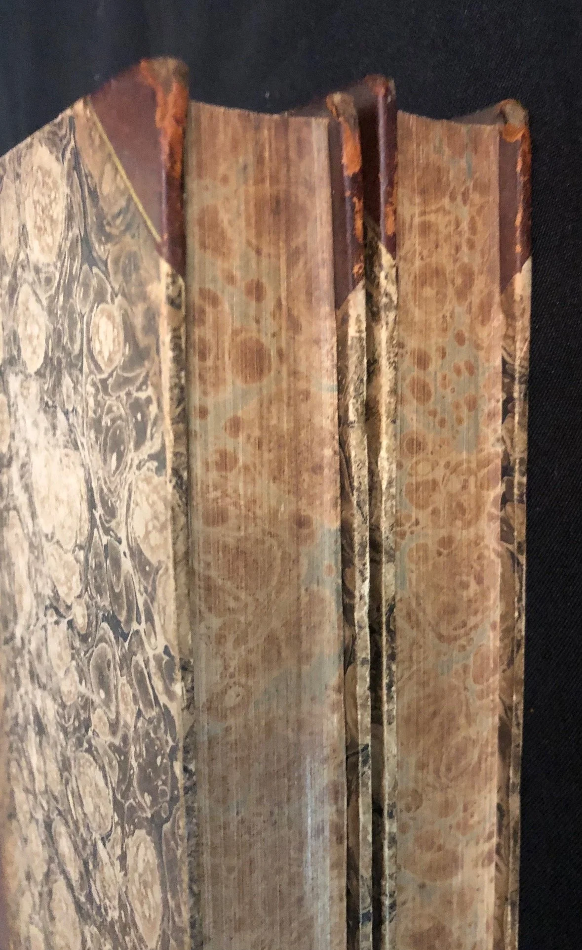
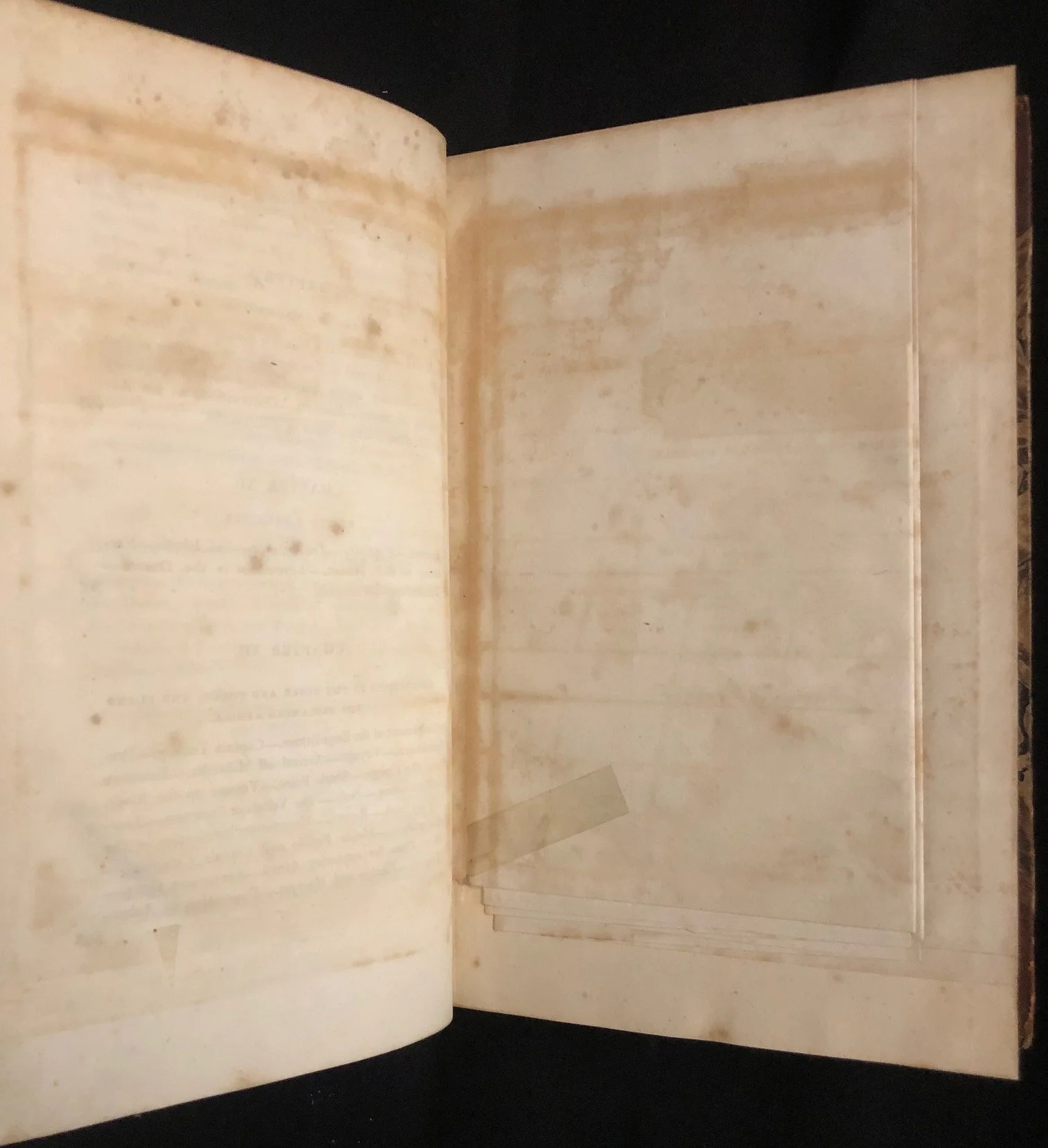
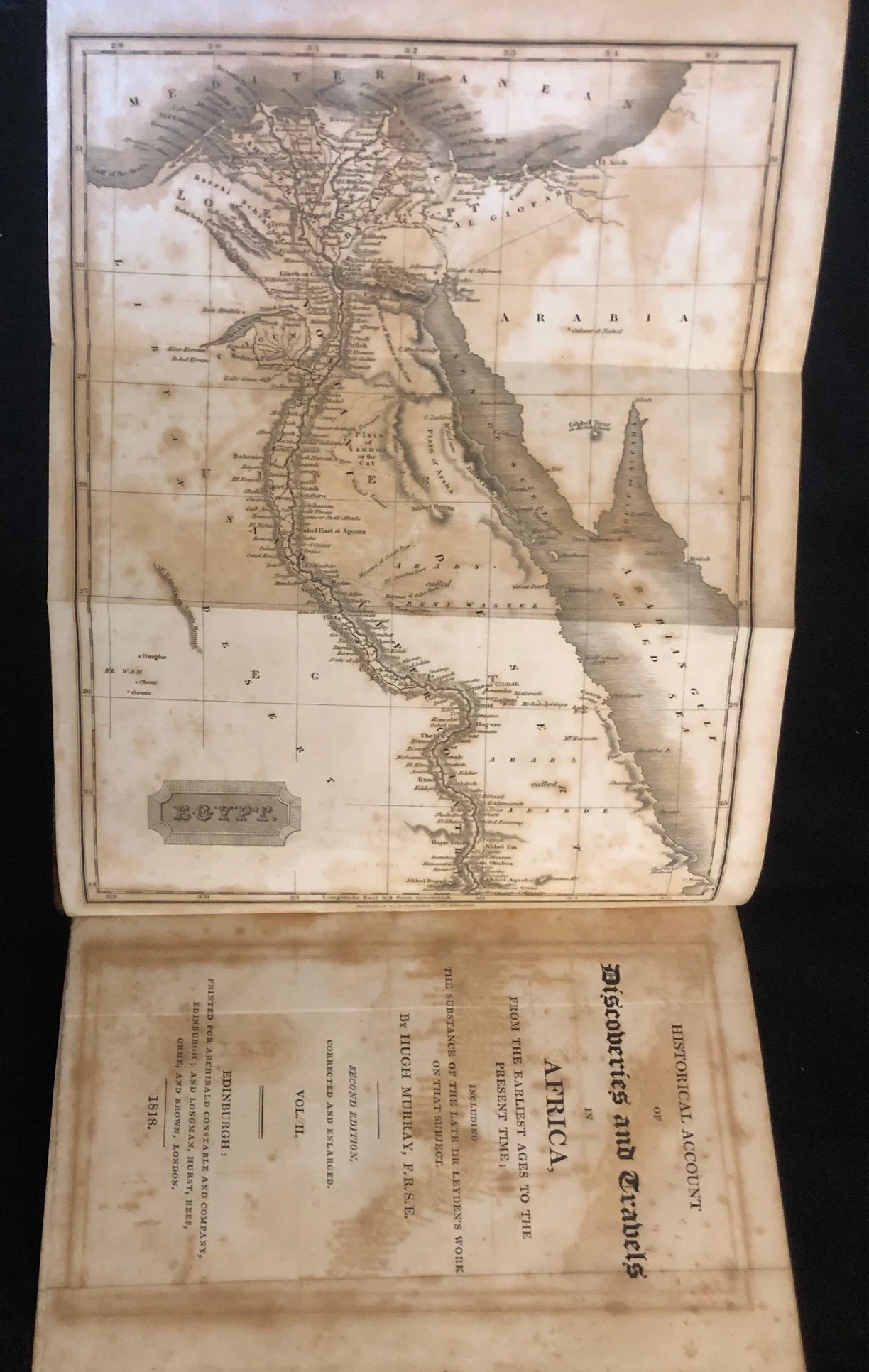
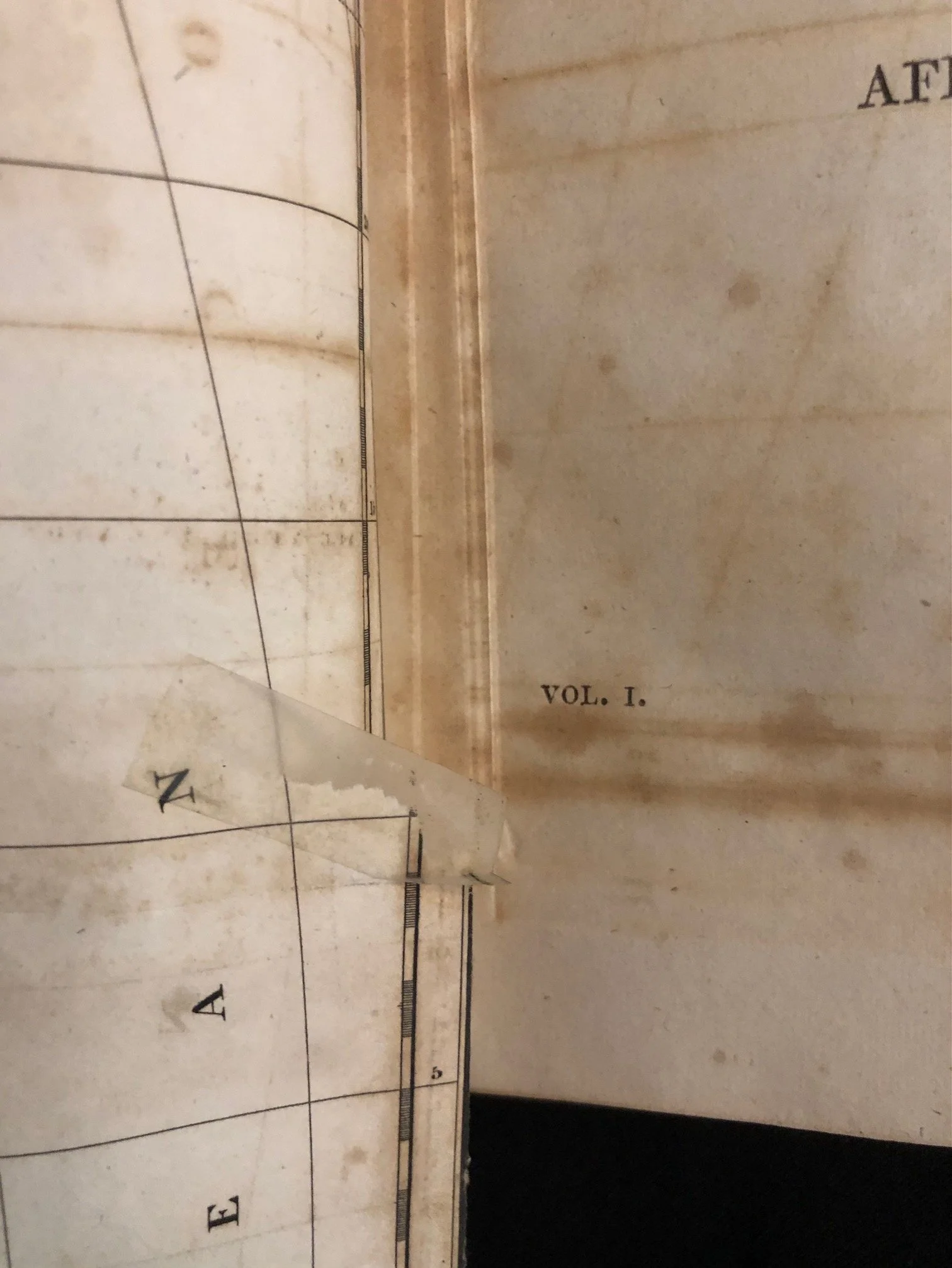
Maps & Condition: the set contains 6 maps, 3 of which are fold-outs, all foxed. The visible fold-out map of Africa shows characteristic age-toning and foxing along the folds and margins, alongside marbled endpapers. Sellotape on tear of map of Africa.
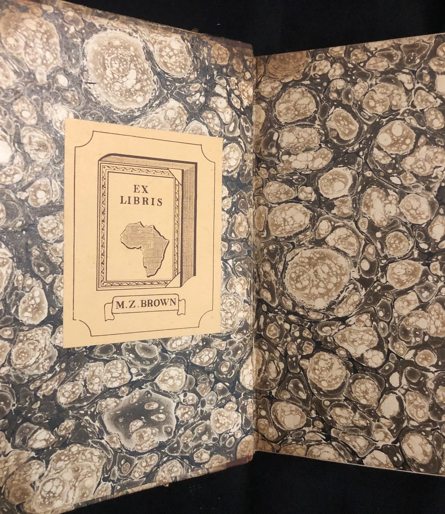
Ex Libris bookplate for M. Z. Brown featuring an illustration of a book emblazoned with the continent of Africa.
140mm x 220 x 80mm (for both volumes together)
R5,000