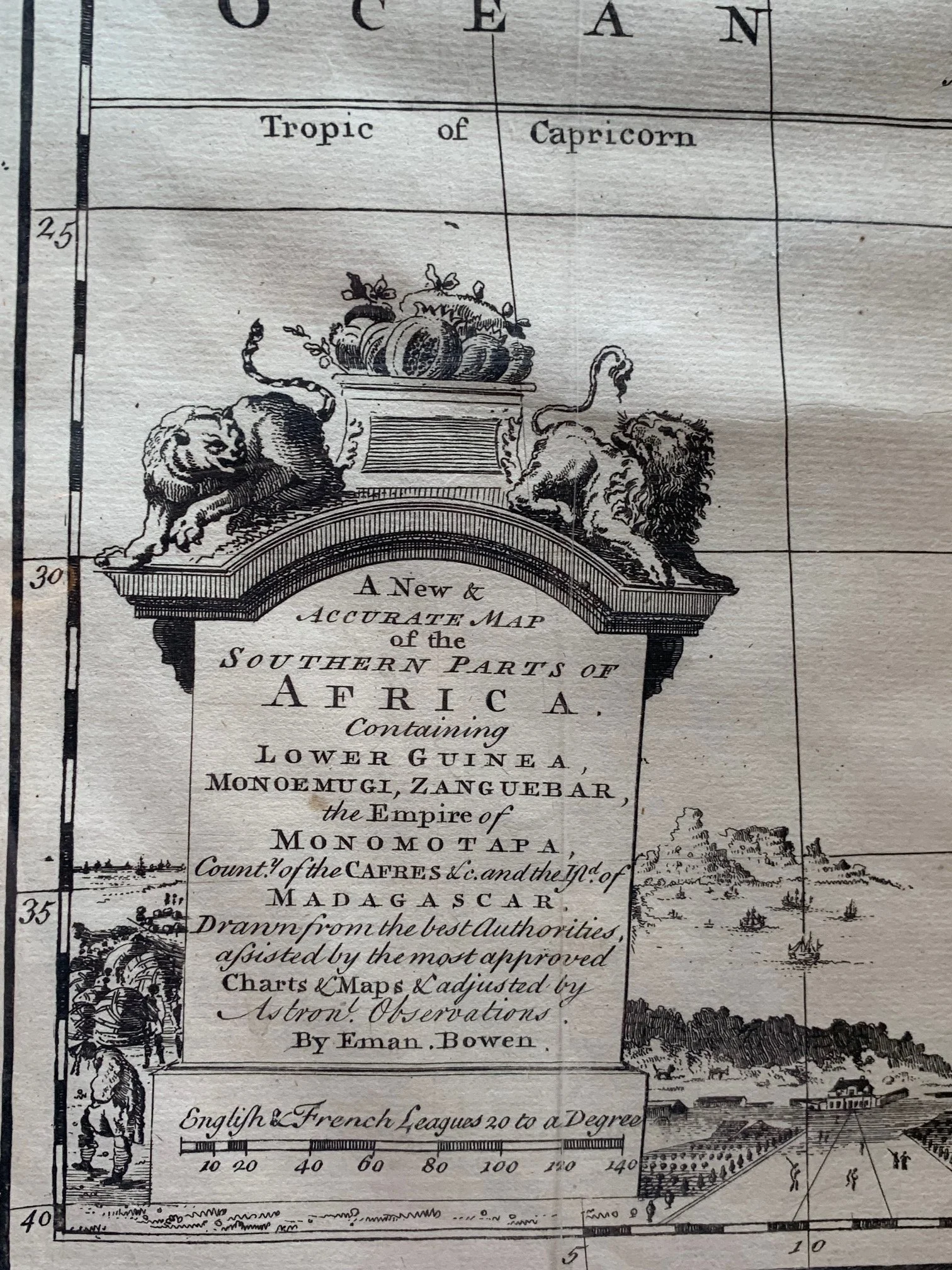
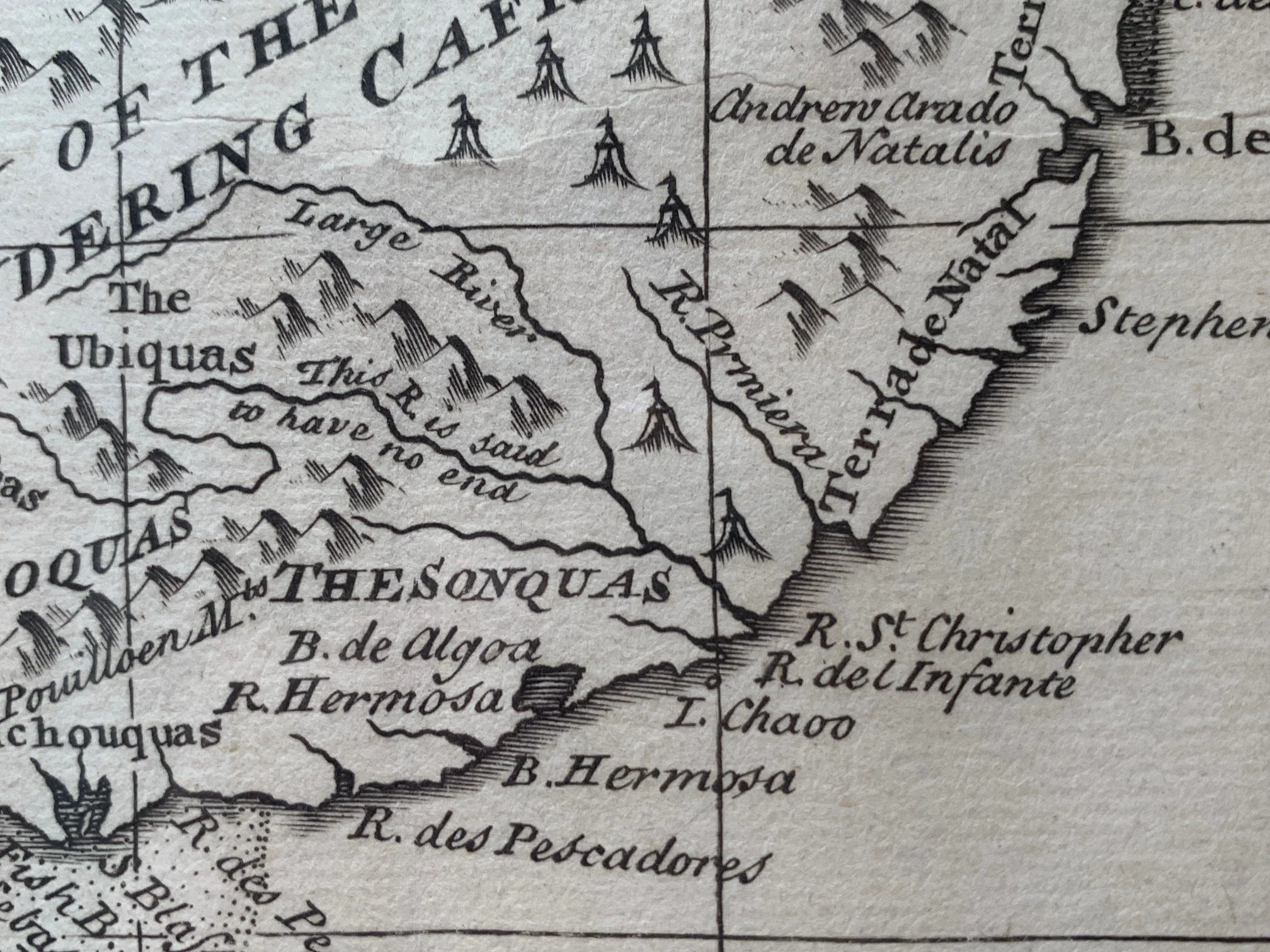
A New Map of the Southern Parts of Africa by Emanuel Bowen (c.1747 )
Copperplate engraving.
Published by William Innys, London. Later version.
Emanuel Bowen (1694 – 1767) was a Welsh map engraver, who achieved the unique distinction of becoming Royal Mapmaker to both King George II of Great Britain and King Louis XV of France. Bowen was highly regarded by his contemporaries for producing some of the largest, most detailed and most accurate maps of his era. He worked with most prominent British cartographers of the period including John Owen and Herman Moll.
This map came from Bowen's massive Complete Geography with seventy maps, 'being all new-drawn and engraved according to the latest discoveries and surveys... for the use of gentlemen, merchants, mariners, and others, who delight ir history and geography'.
See Table Mountain in the vignette.
Some wear, creasing and marginal tears.
511mm x 409mm, unframed.
R10,000