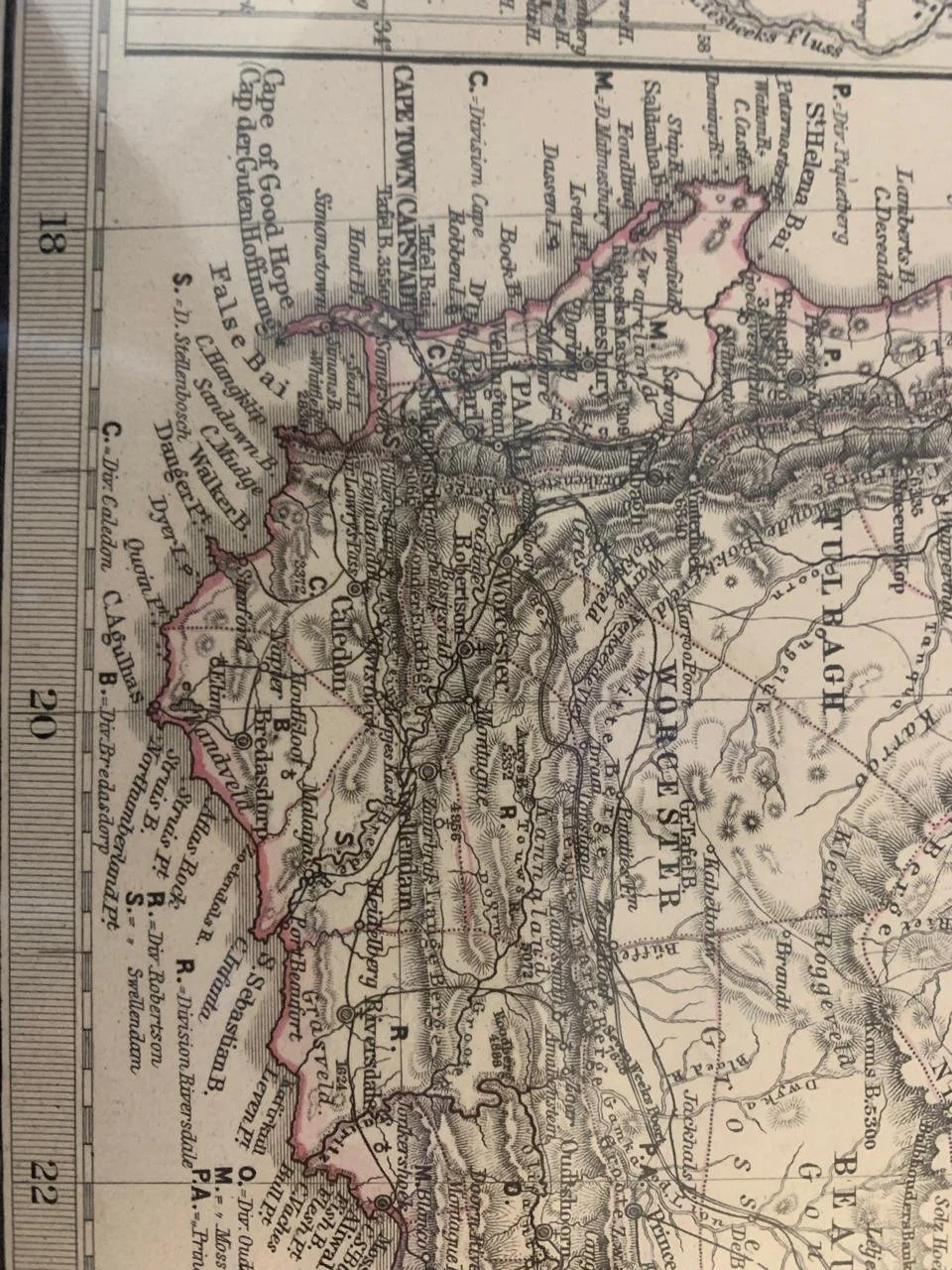
German Map of Southern Africa (Das Capland) c.1875
By A. Petermann.
Hand coloured engraving.
Many of the borders depicted here are not representative of the true boundaries.
The Cape Colony and the ZAR and Orange Free State Republic as well as Griqualand West and several other independent territories, are represented.
Published In: Hand Atlas Uber Alle Theile Der Erde Und Uber Das Weltgebaude. Herausgegeben Von Adolf Stieler. Gotha Justus Perthes.
Publication Author: Stieler, Adolf
Publication Date: 1875
Publication Note: Stieler's Atlas is extraordinarily detailed. Close examination of the maps shows many features that one would expect to find only on much larger maps. This atlas was first published in 1817, with editions continuing well into the 20th century. It was one of the most comprehensive and best executed 19th century German atlases.
485mm x 386mm Unframed
R1,000