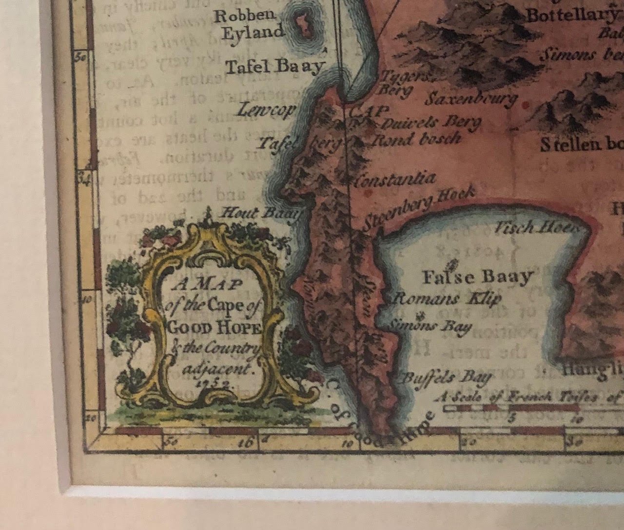
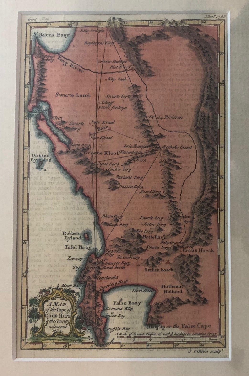
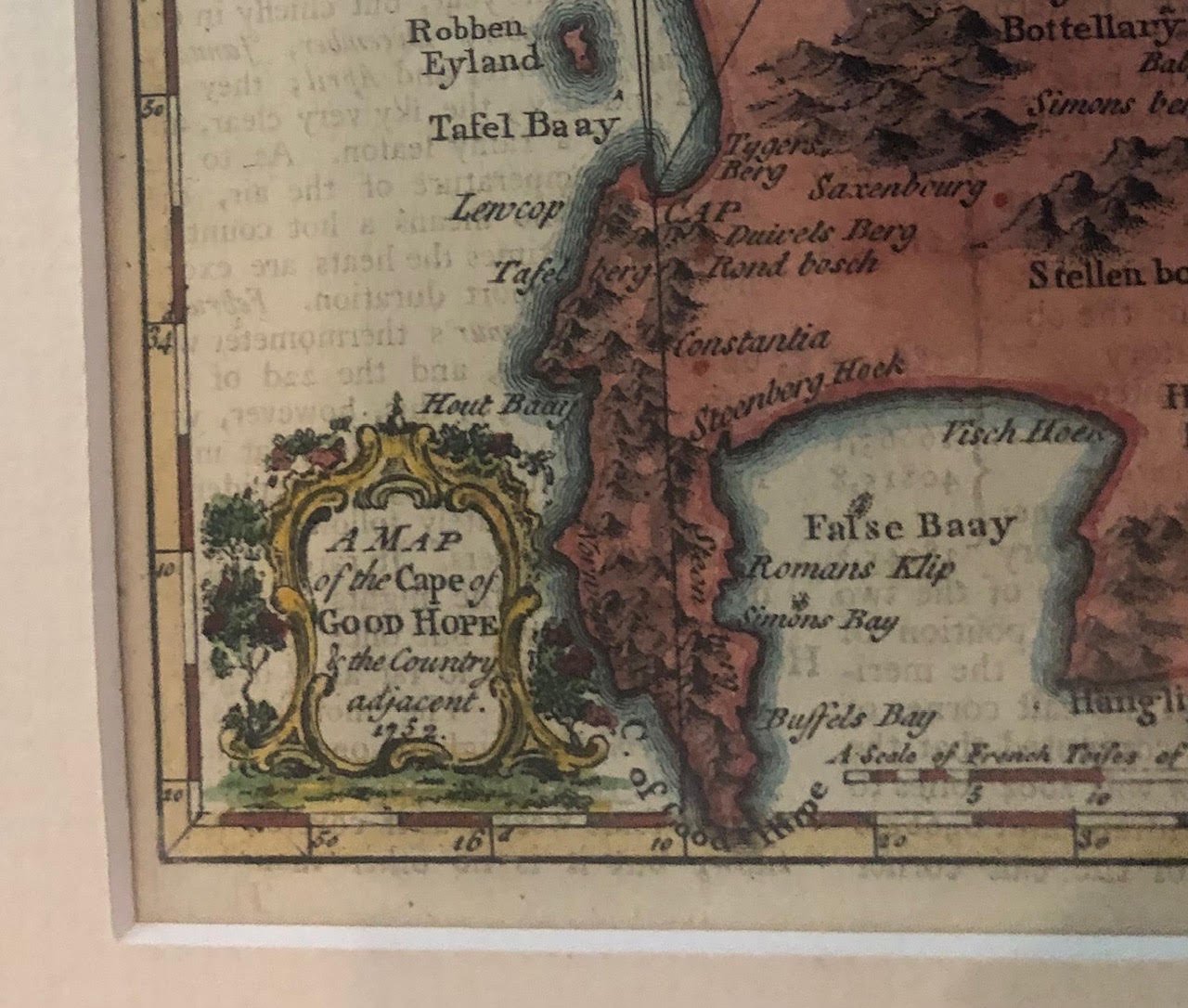
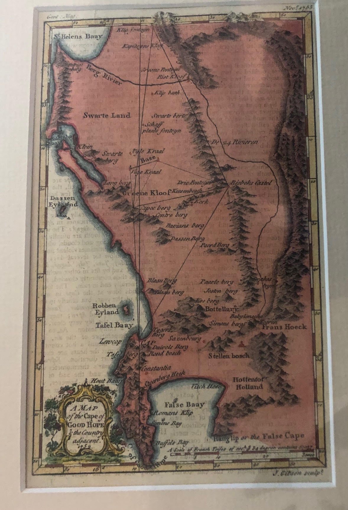
Map of the geometric lines from Cape Town - 1752 survey of Abbé Nicolas-Louis de Lacaille.
This 1753 map—engraved by John Gibson for the British periodical The Gentleman’s Magazine—records one of the most famous scientific blunders in the history of astronomy and geodesy.
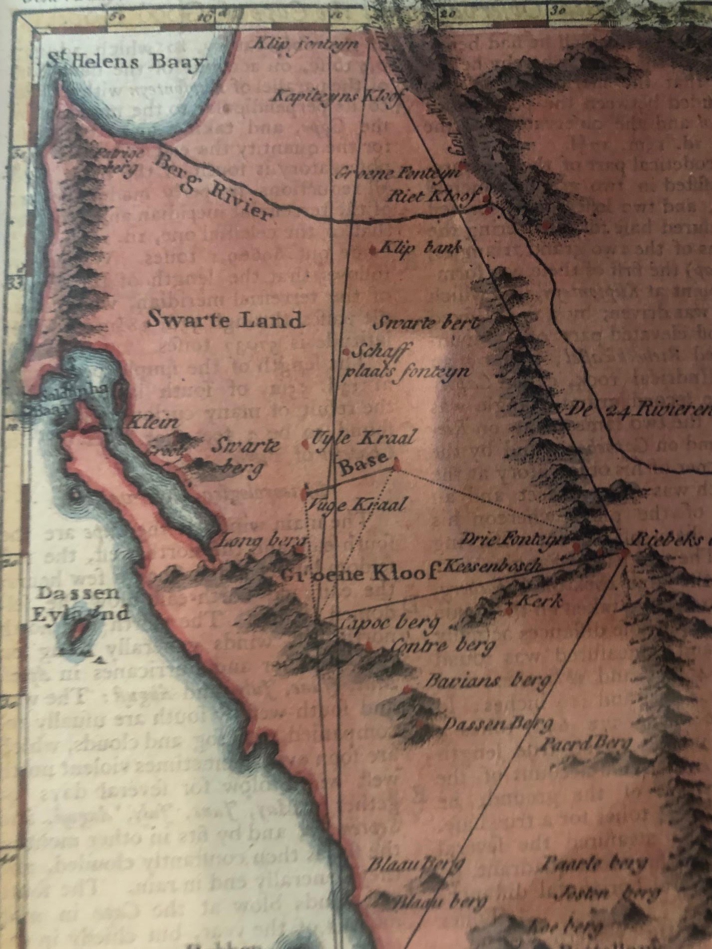
The large geometric lines and triangles drawn north from Cape Town ("CAP") across the Swartland to Riebeek Kasteel ("Riebeks Castel") and Klipfontein ("Klip fonteyn") trace the 1752 meridian arc survey of Abbé Nicolas-Louis de Lacaille.
Here is what makes that survey—and this map—so historically significant:
The First Geodetic Survey in the Southern Hemisphere: Lacaille, a French astronomer, traveled to the Cape in 1751 to catalogue southern stars and measure the exact length of a degree of latitude. By combining astronomical observations with ground triangulation (using the baseline marked "Base" near Groene Kloof / Darling), he aimed to prove Isaac Newton’s theory that the Earth bulges at the equator and flattens at the poles.
The "Pear-Shaped Earth" Mystery: When Lacaille finished his calculations, his numbers showed that the curvature of the Earth in the Southern Hemisphere was significantly different from that in the Northern Hemisphere—implying that the Earth was slightly pear-shaped rather than symmetrical. This baffled scientists across Europe for nearly 90 years.
The Hidden Culprit: In the 1840s, the Cape’s Astronomer Royal, Sir Thomas Maclear, re-surveyed Lacaille’s exact triangulation network. Maclear discovered that Lacaille’s ground measurements were remarkably accurate, but the immense gravitational pull of Table Mountain at the southern station and the Riebeek Kasteel mountains to the north had subtly deflected Lacaille’s plumb line, throwing off his astronomical zenith readings.
Print History Clue: You can also see faint reverse-printed text bleeding through the paper from the back of the sheet. Because the map was originally bound into the November 1753 issue of The Gentleman’s Magazine (noted in the top margins), genuine 18th-century copies almost always show the magazine's letterpress article showing through from the reverse side.
115mm x 195mm (The edge of the yellow border). Hand coloured copperplate engraving in good condition.
R4,000