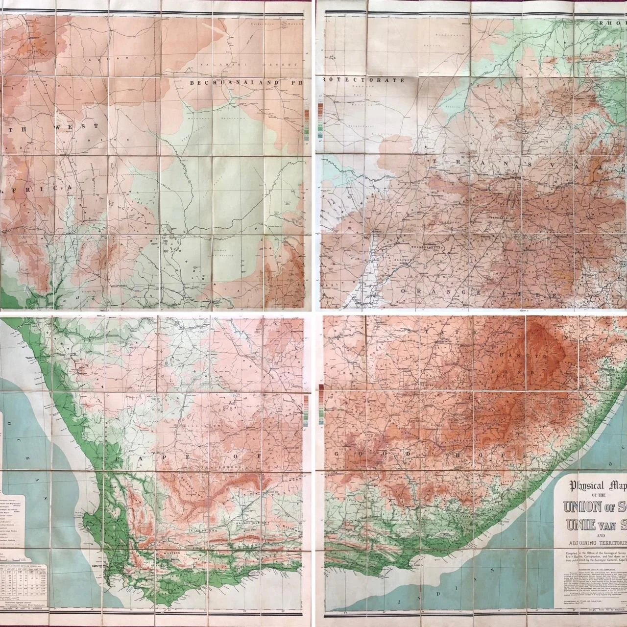
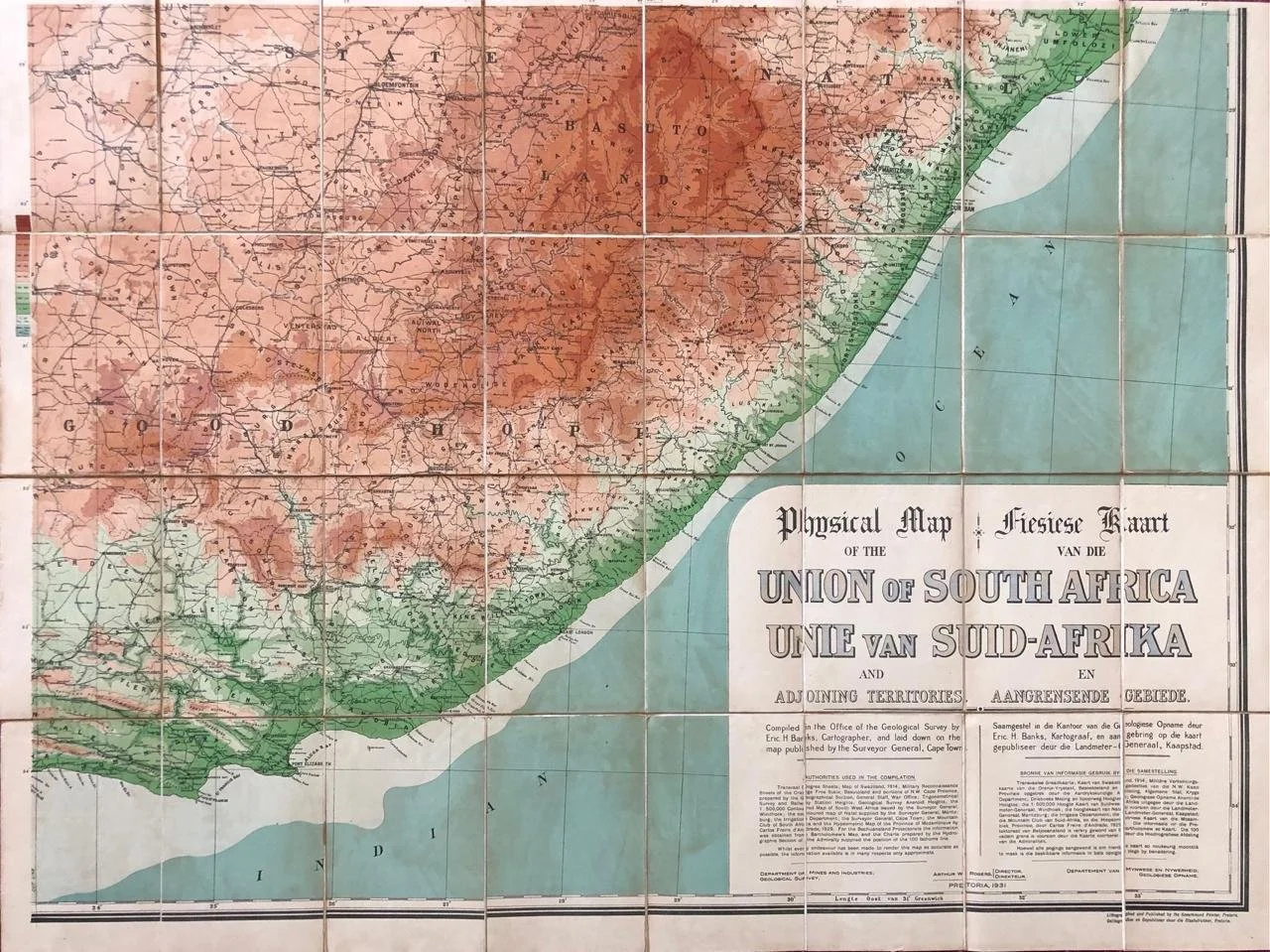
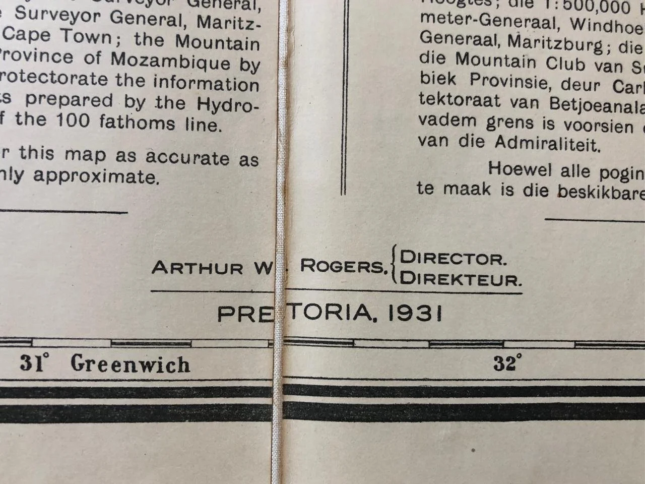
Physical Map of the Union of South Africa 1931
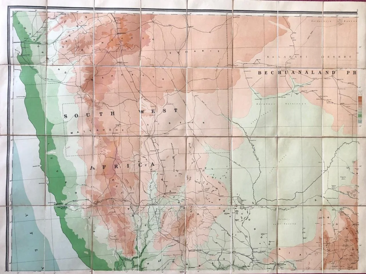
Four linen backed panels of the Union of South Africa by the Department of Mines, showing elevation.
The Union of South Africa was a British Dominion and, later, a Commonwealth realm in southern Africa from 1910 to 1961. It was the historical predecessor to the present-day Republic of South Africa. It came into existence on 31 May 1910 with the unification of the Cape, Natal, Transvaal, and Orange River colonies. It included the territories that were formerly part of the South African Republic and the Orange Free State.
Some water stains / linen torn in places.
Each panel 1020mm x 765mm
R5,000