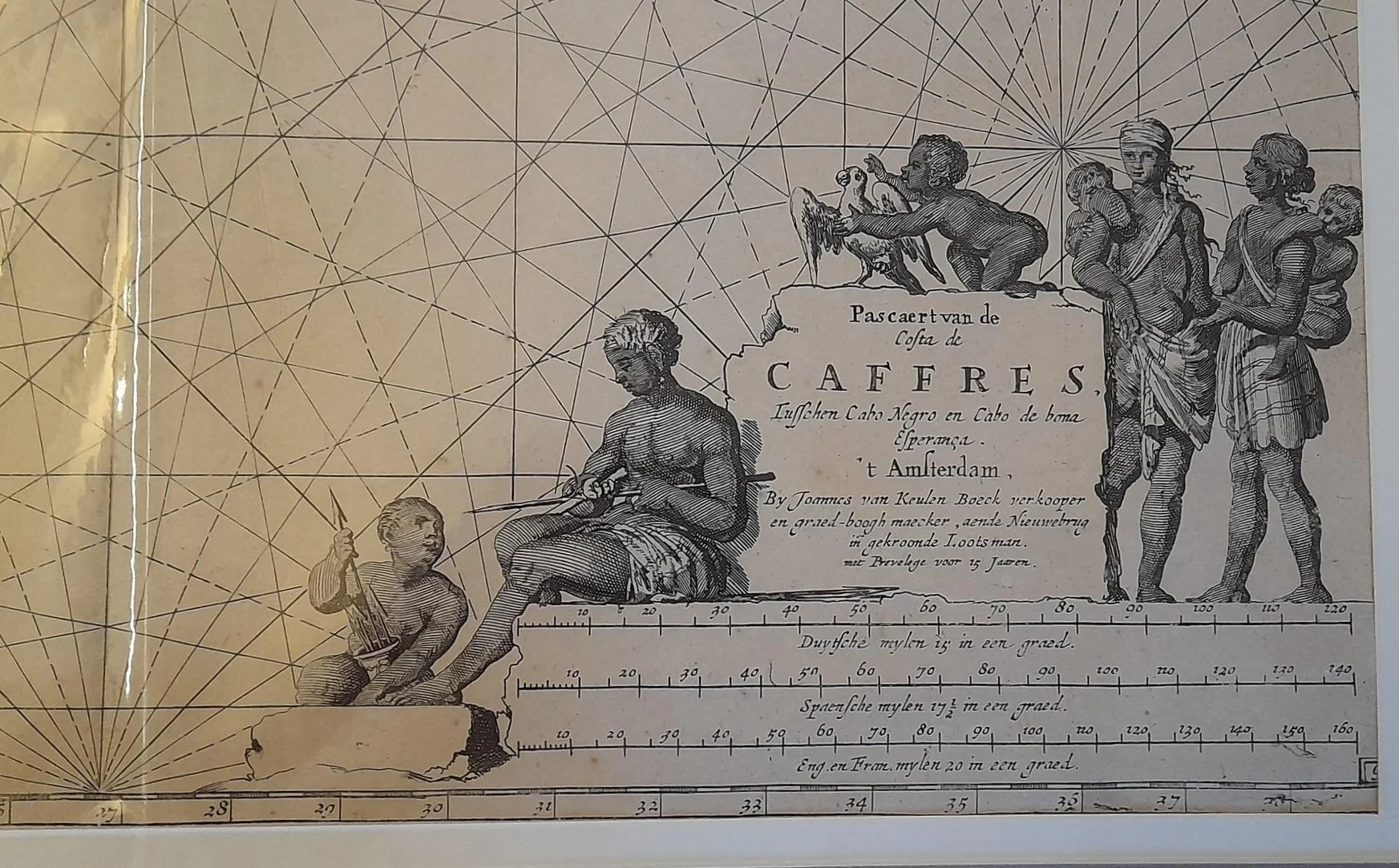
Chart of The West Coast from The Cape of Good Hope c.1716
By Johannes van Keulen (1654-1715).
c. 1716.
Hand coloured copperplate engraving.
Published in Amsterdam.
The van Keulen family were prolific producers of maps and charts. In addition, they were also instrument makers; publishers of almanacs and books on geography.
This map is filled with rhumb lines; compass-roses; a sea monster; sailing ship and a vignette of Saldana Bay.
(Ref: Norwich map 275).
573mm x 500mm excluding mountboard, unframed.
R14,500