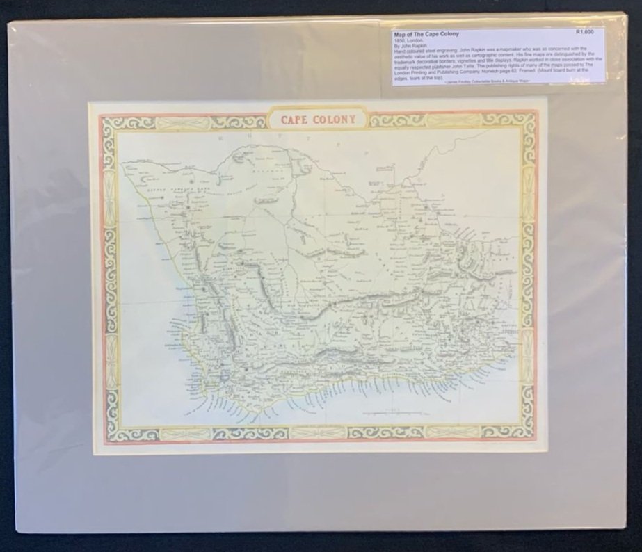
Map of The Cape Colony 1850
By John Rapkin.
Hand coloured steel engraving.
London.
John Rapkin was a mapmaker who was as concerned with the aesthetic value of his work as well as cartographic content. His fine maps are distinguished by the trademark decorative borders; vignettes and title displays. Rapkin worked in close association with the equally respected publisher John Tallis. The publishing rights of many of the maps passed to The London Printing and Publishing Company.
Ref: Norwich page 82.
335mm x 260mm excluding mountboard, unframed
R1,000