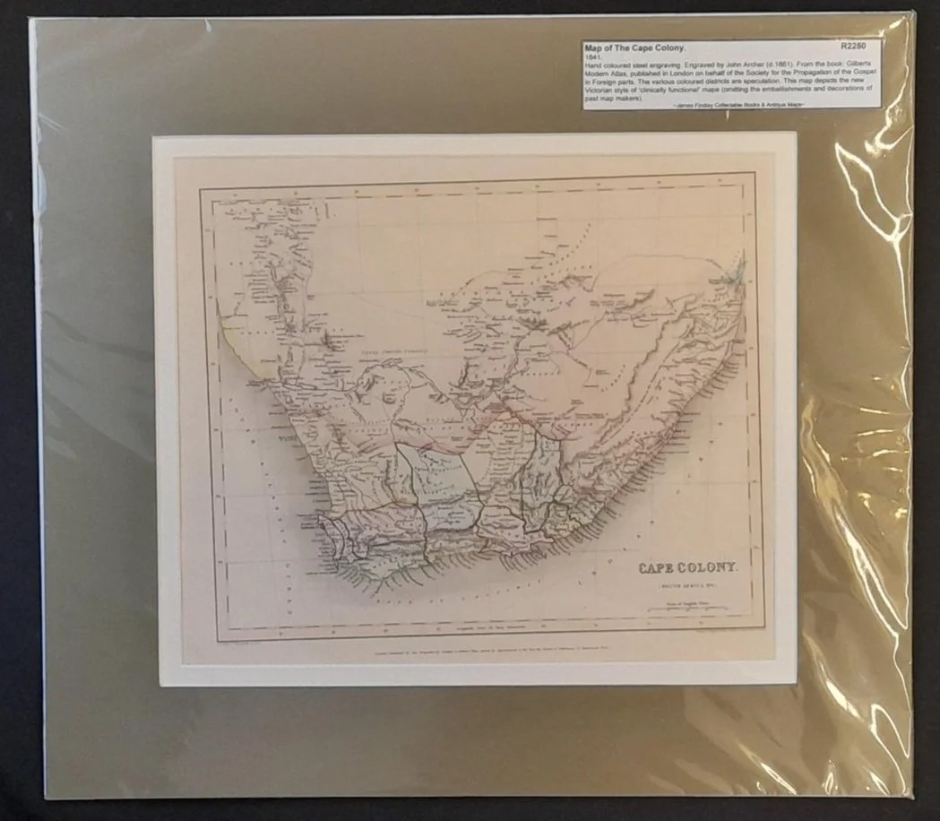
Map of the Cape Colony 1841
Hand coloured steel engraving.
Engraved by John Archer (d. 1861).
From the book: Gilberts Modern Atlas, published in London on behalf of the Society for the Propagation of the Gospel in Foreign Parts. The various coloured districts are speculation. This map depicts the new Victorian style of 'clinically functional' maps (omitting the embellishments and decorations of past map makers).
300mm x 255mm excluding mountboard, unframed.
R2250