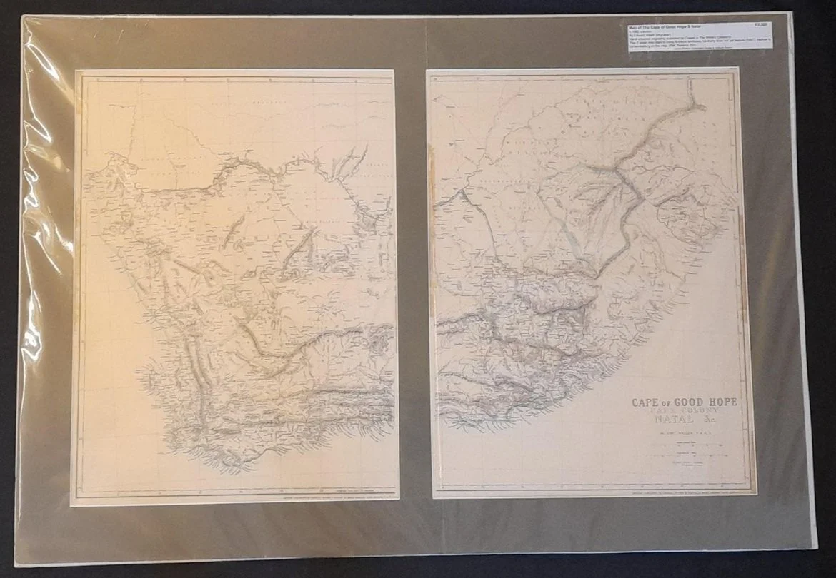
Map of the Cape of Good Hope & Natal c.1880
By Edward Weller (engraver)
c. 1880, London.
Hand coloured engraving published by Cassel in The Weekly Despatch.
This 2 sheet map depicts many fictitious territories.
800mm x 559mm including mountboard
R2,500