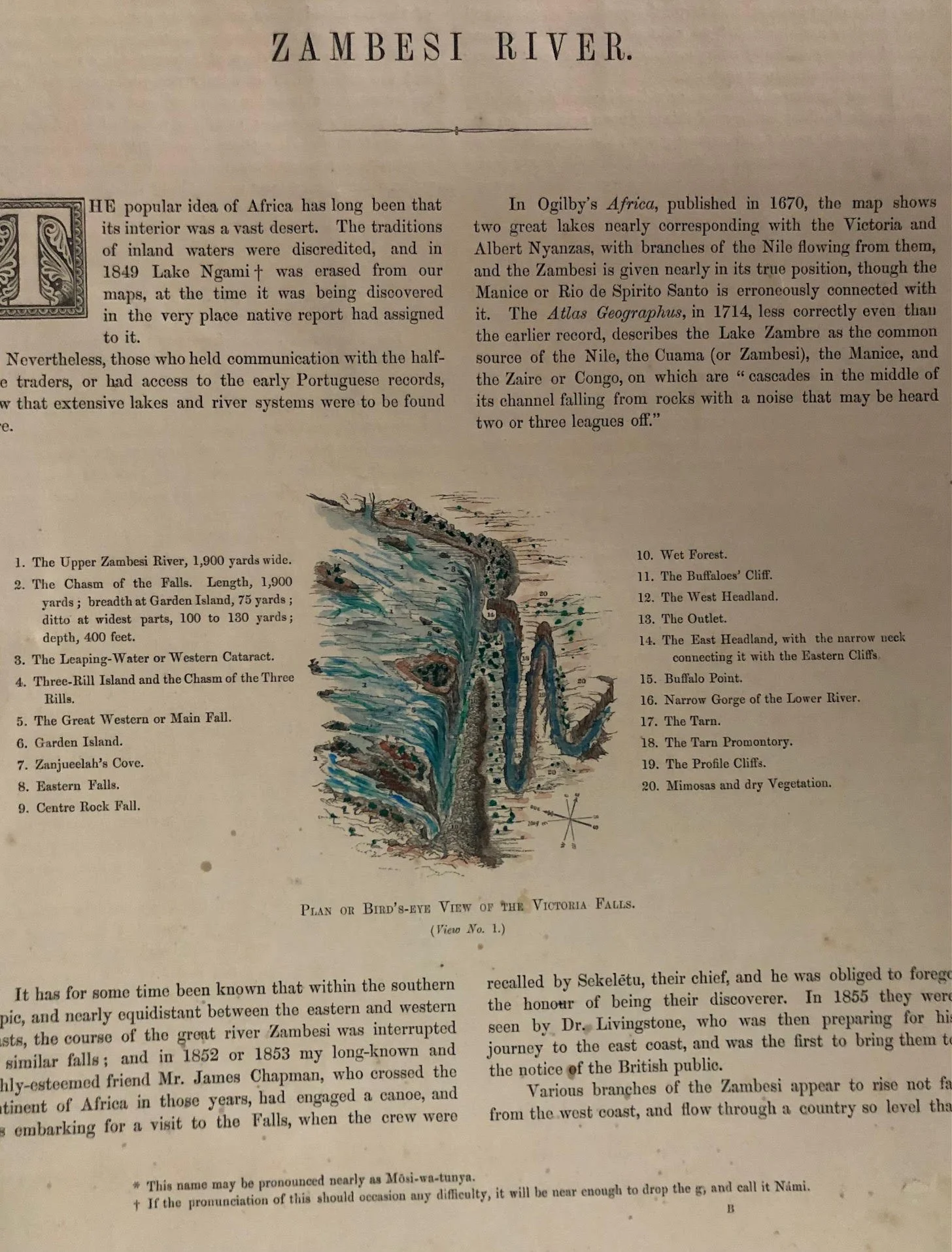
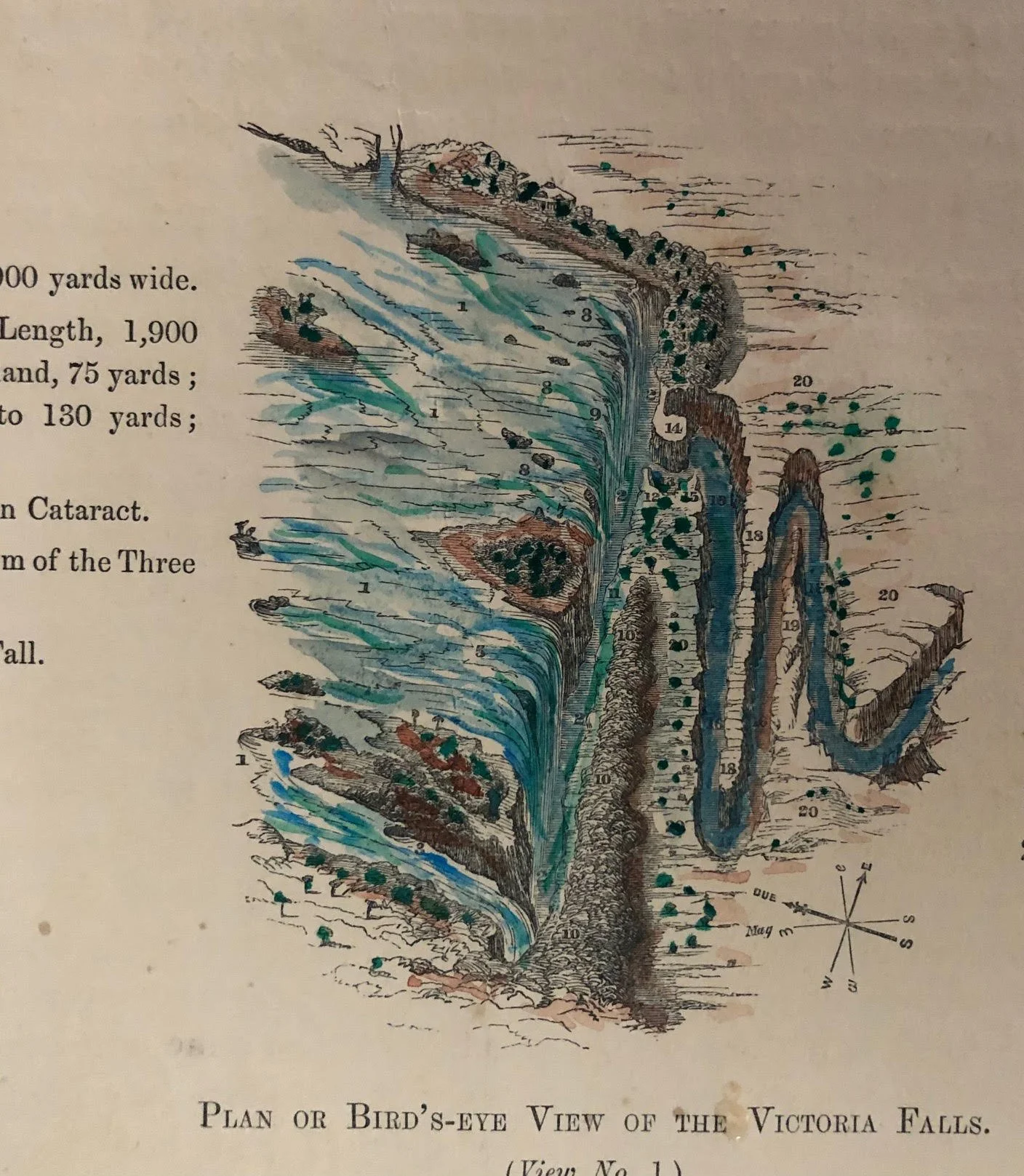
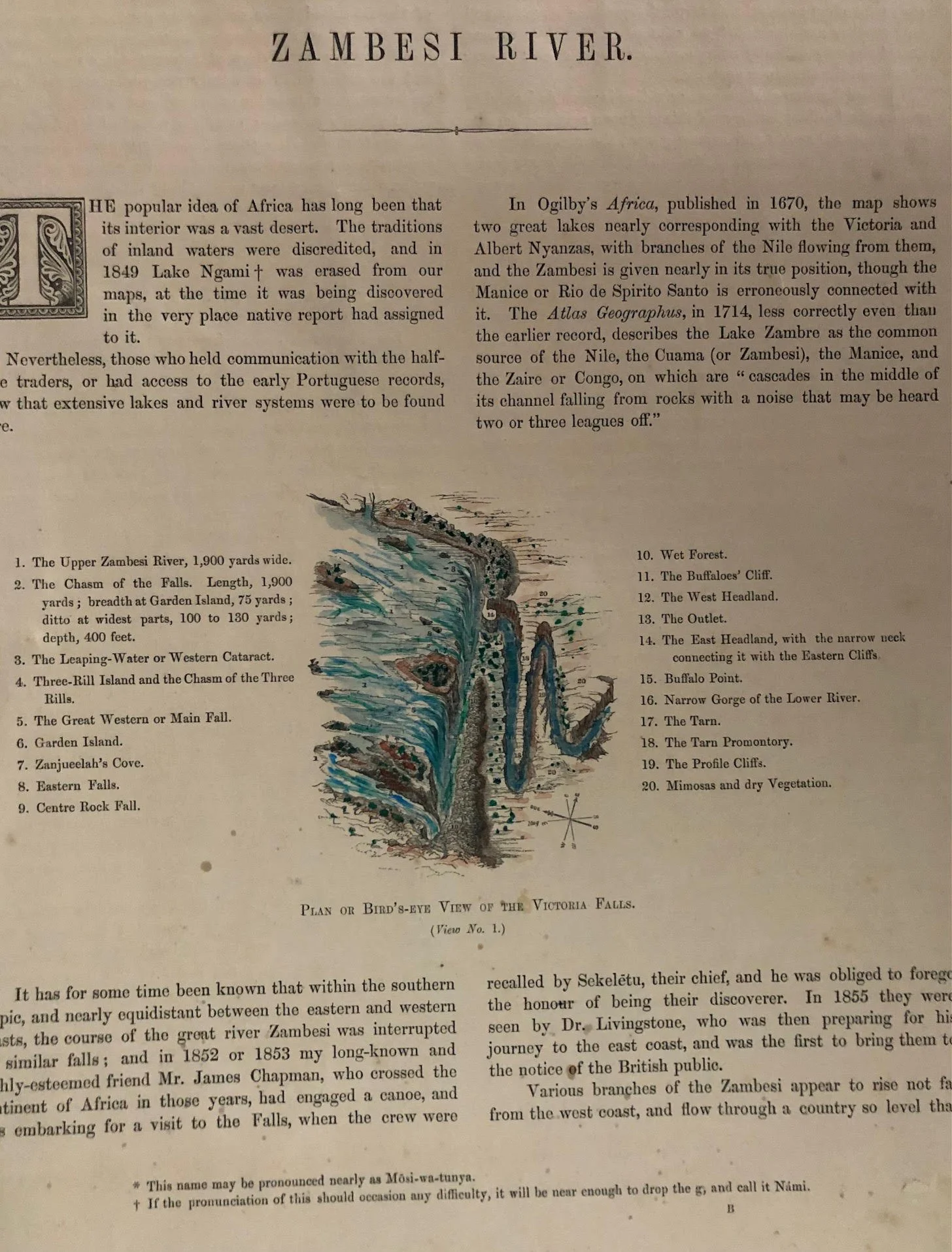
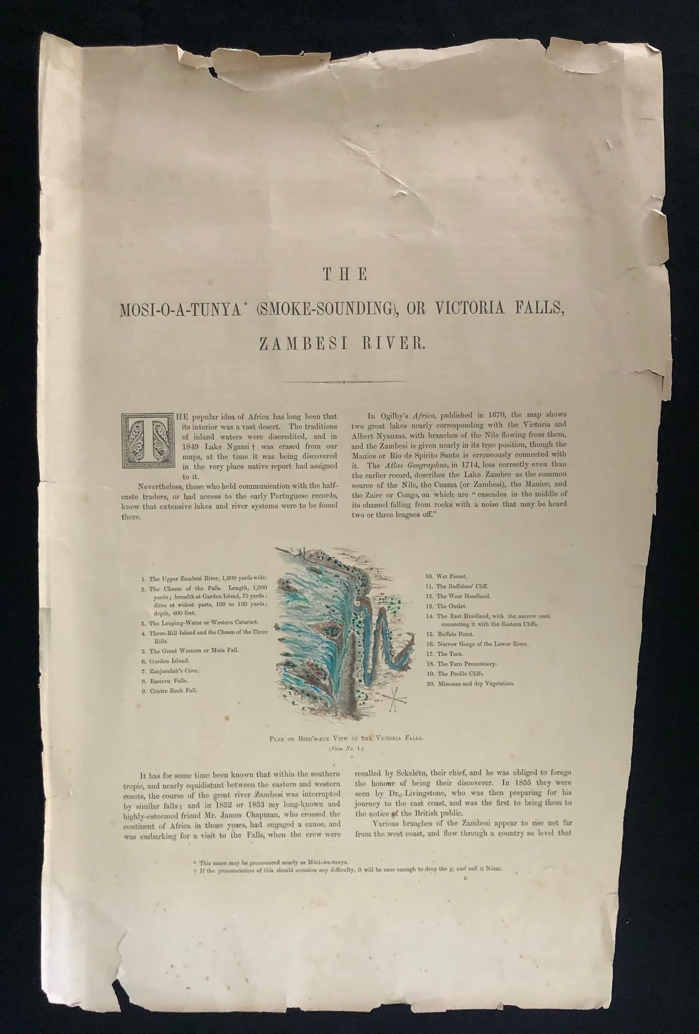
A page from Thomas Baines's landmark 1865 folio, Sketches Beside the Victoria Falls R1,250
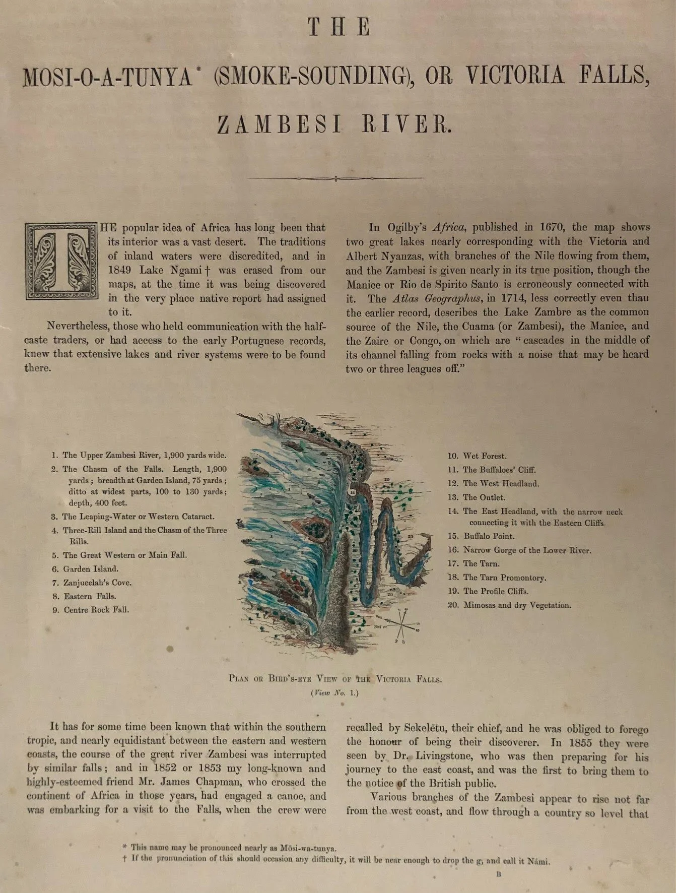
This is a single page from a book; the woodcut of the Victoria Falls has been hand coloured (at a later date, published uncoloured).
The text specifically notes that the South African artist and explorer James Chapman reached the Zambesi area in 1852 or 1853 with his crew, intending to visit Victoria Falls, but was turned back by the Makololo chief Sekeletu. It goes on to state that David Livingstone was only then preparing his journey and eventually reached the Falls in 1855, becoming the first European to publicize them to the world.
This document comes from Thomas Baines's landmark 1865 folio, Sketches Beside the Victoria Falls, Zambesi River, published after Baines and Chapman traveled together to the Falls in 1862. Throughout the text, Baines highlights how local indigenous knowledge and earlier traders/explorers (such as Chapman and Charles John Andersson) already knew the region long before David Livingstone claimed "discovery" for the British public.
What makes this specific piece historically notable:
Thomas Baines's Fallout with Livingstone: Baines had previously served as the official artist on Livingstone's 1858 Zambezi Expedition, but Livingstone wrongly accused him of theft and dismissed him in disgrace. Baines spent years vindicating his reputation by joining James Chapman's expedition from Walvis Bay to Victoria Falls (1861–1862), during which Baines created the very first accurate paintings and detailed topographical maps of the Falls.
Indigenous & Pre-Livingstone Context: The text opens by noting the local name, Mosi-o-a-Tunya ("Smoke-Sounding"), and cites 17th- and 18th-century cartographers (like Ogilby and The Atlas Geographus) who had already recorded massive inland lakes and waterfall systems long before 19th-century British expeditions.
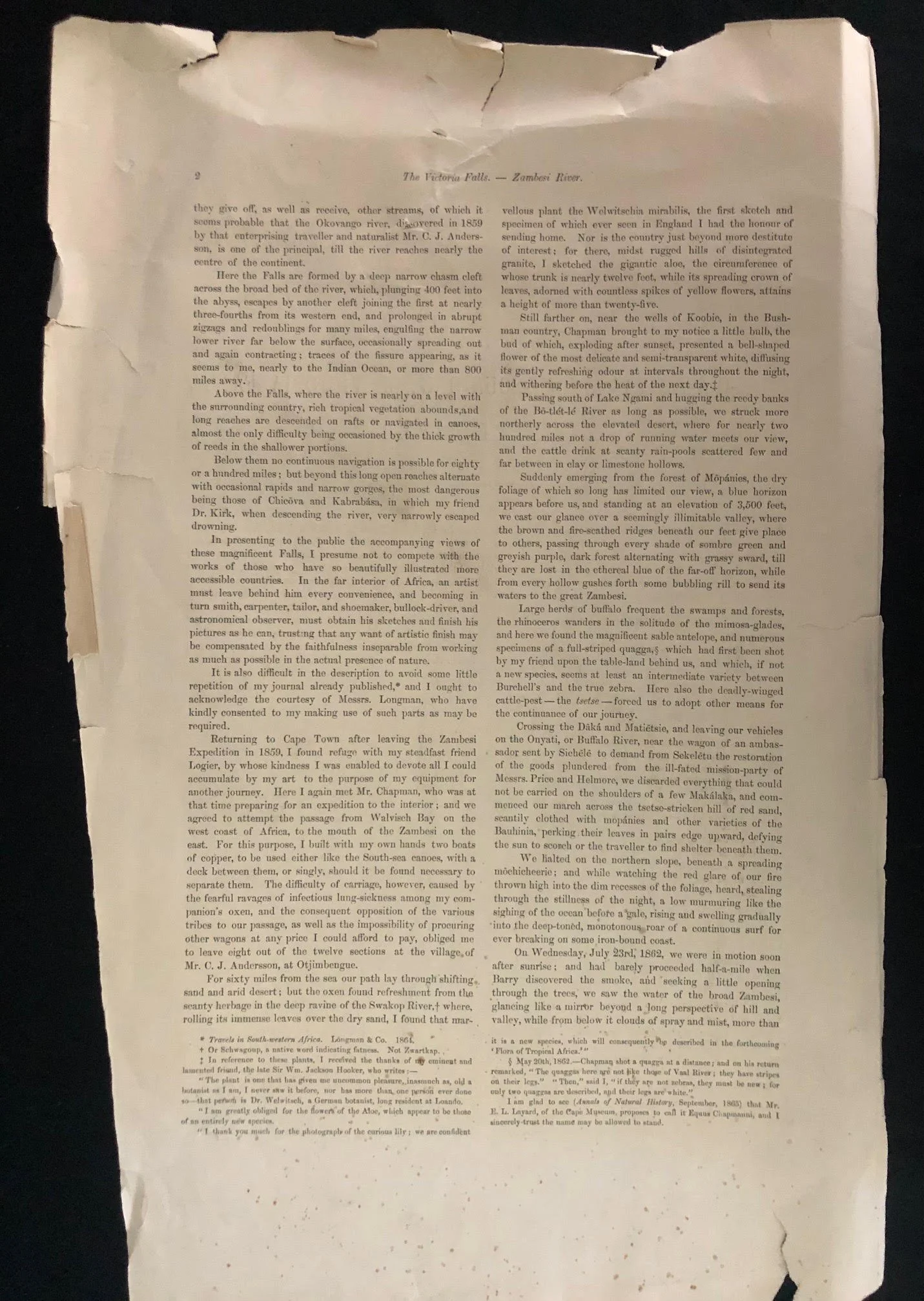
Early Scientific Botanical Records: On the second page, Baines records his encounters with botanical specimens, including early observations and sketches of Welwitschia mirabilis in the Swakop River region.
Victoria Falls (indigenously known as Mosi-oa-Tunya, "The Smoke That Thunders") is one of the Seven Natural Wonders of the World and a UNESCO World Heritage site, situated on the border between Zambia and Zimbabwe along the Zambezi River.
Key Highlights:
World's Largest Sheet of Falling Water: While neither the highest nor the widest waterfall, its combined width of approximately 1.7 kilometres (5,600 ft) and height of 108 metres (354 ft) form the largest curtain of falling water on Earth.
Mosi-oa-Tunya: The indigenous Lozi name refers to the massive columns of spray that can be seen from miles away, rising hundreds of metres into the air during peak flood season.
Geological Features: The falls plunge into a series of sharp, zig-zagging basalt gorges carved out over thousands of years by the Zambezi River as it erodes successive fracture zones in the rock plateau.
Wildlife & Ecosystem: The spray from the waterfall sustains a dense rainforest micro-environment directly opposite the cliff face, supporting diverse plant life, birds, and game across Victoria Falls National Park.
Historic Crossing: The iconic Victoria Falls Bridge, completed in 1905, links Zambia and Zimbabwe spanning the Batoka Gorge just downstream from the cataract.
Torn; with loss at the edges; foxed; minor surface stains.
335mm x 570mm
R1,250