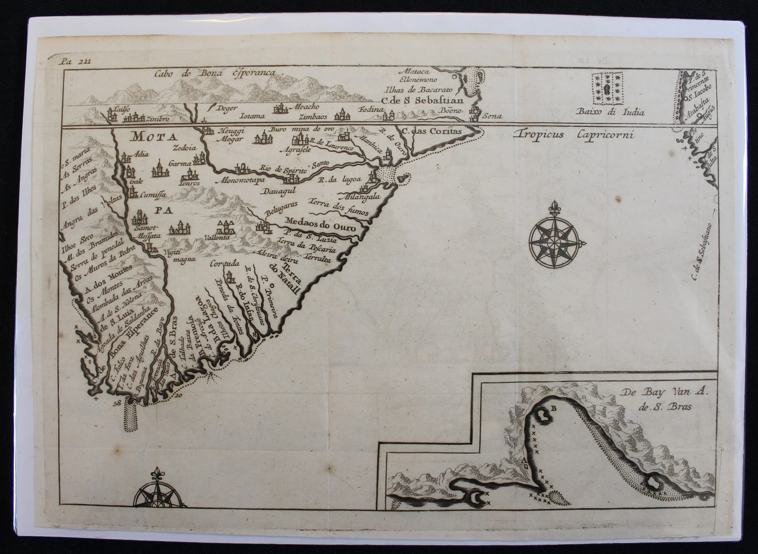
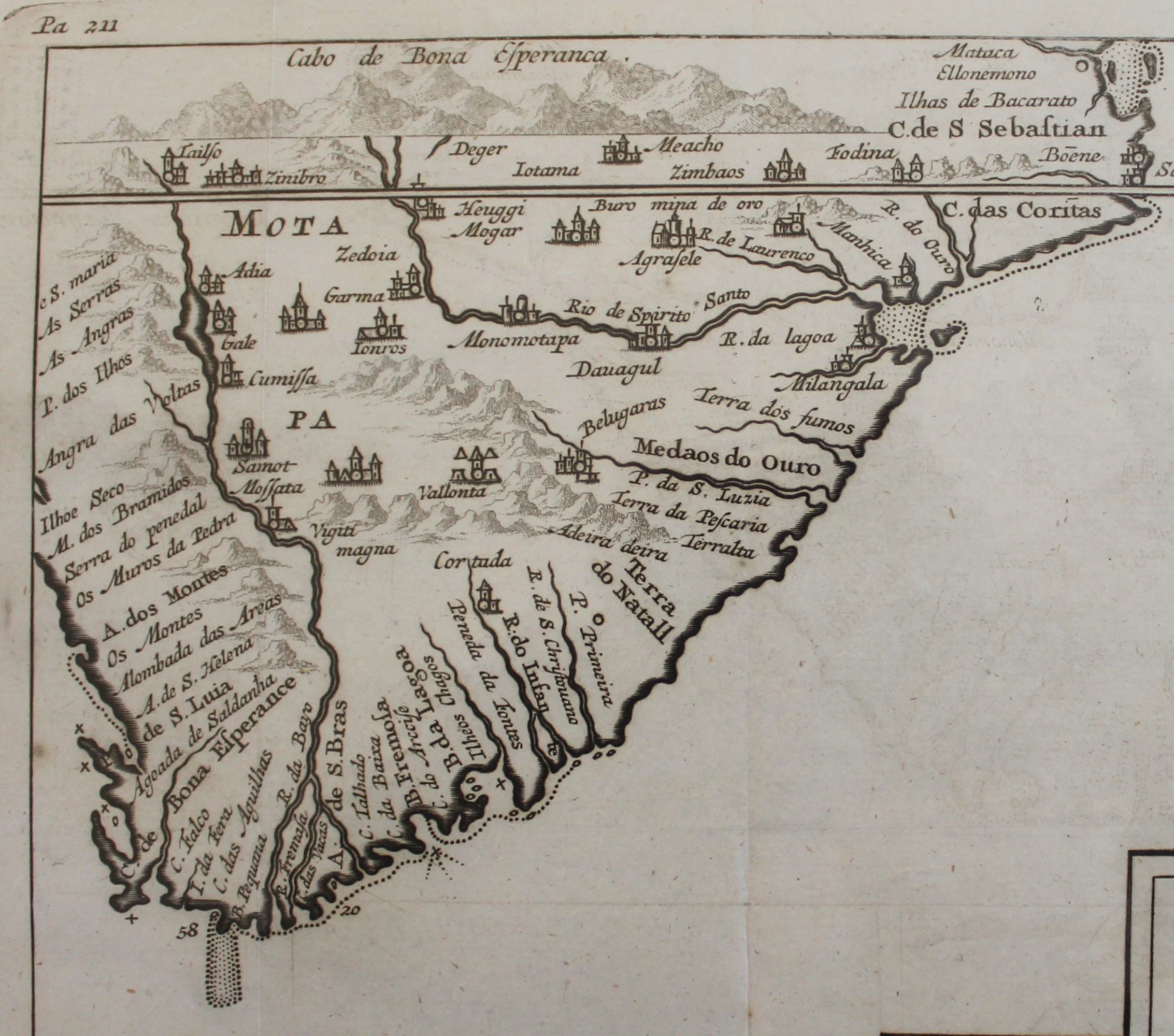
Map of Southern Africa & Mossel Bay
c.1646 (approximate)
Hand-coloured copperplate engraving by the cartographer Cornelis Claesz.
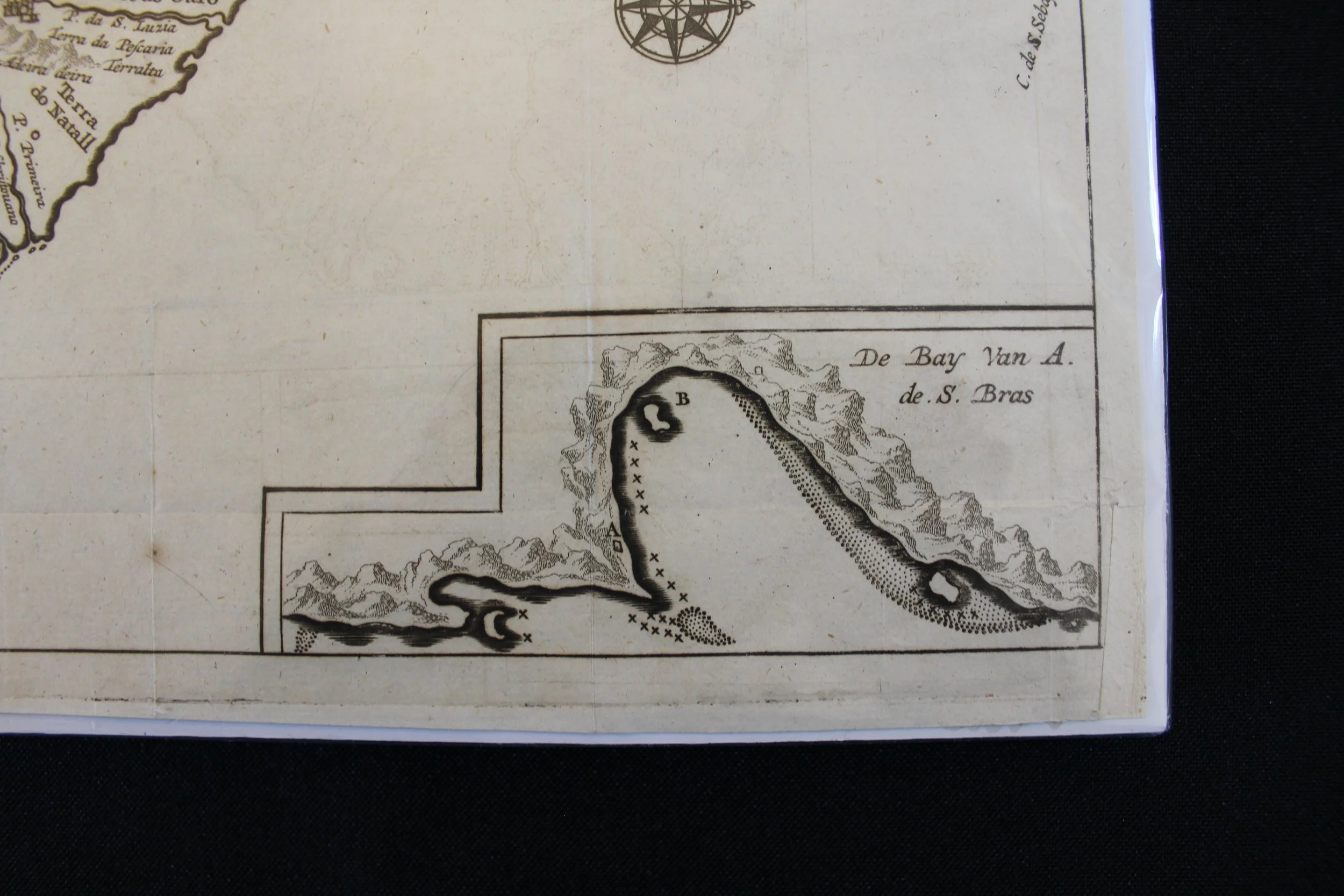
The inset, bottom right, is 'Mossel Bay', which was named by the Dutch in 1601.
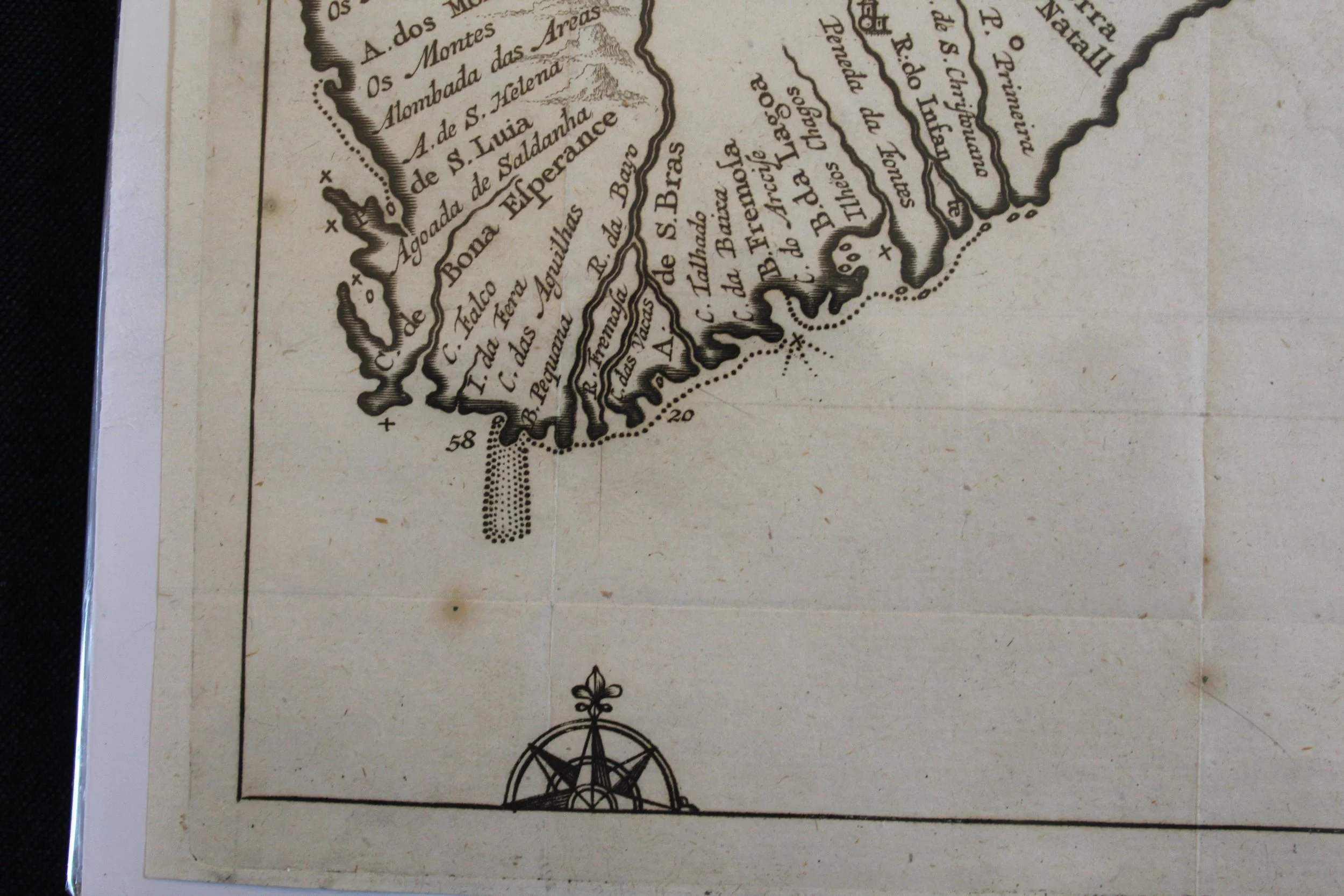
The title which is printed across the map is: MOTA | PA [Monomotapa]. The names on this map – 'Cape of Good Hope’ and ‘Land of Natal' – are from the Portuguese explorers..
Technology: Copperplate, later colour
Artist: Unknown
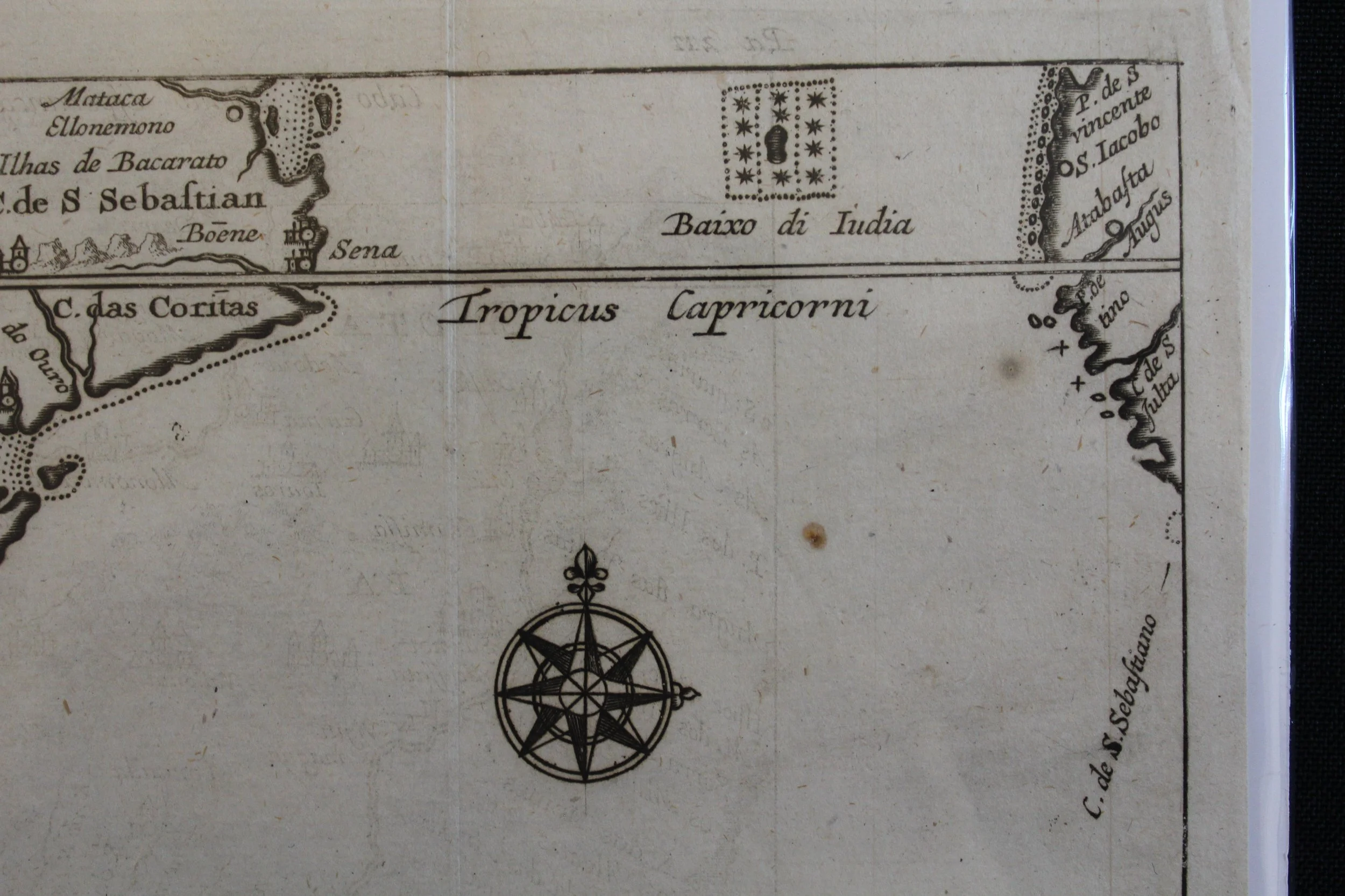
Verso/Recto: Latin text
Prime meridian: No longitude
Minor foxing with some marks along the bottom perimeter and creases along the fold lines.
230 x 163mm
Sold Feb '26