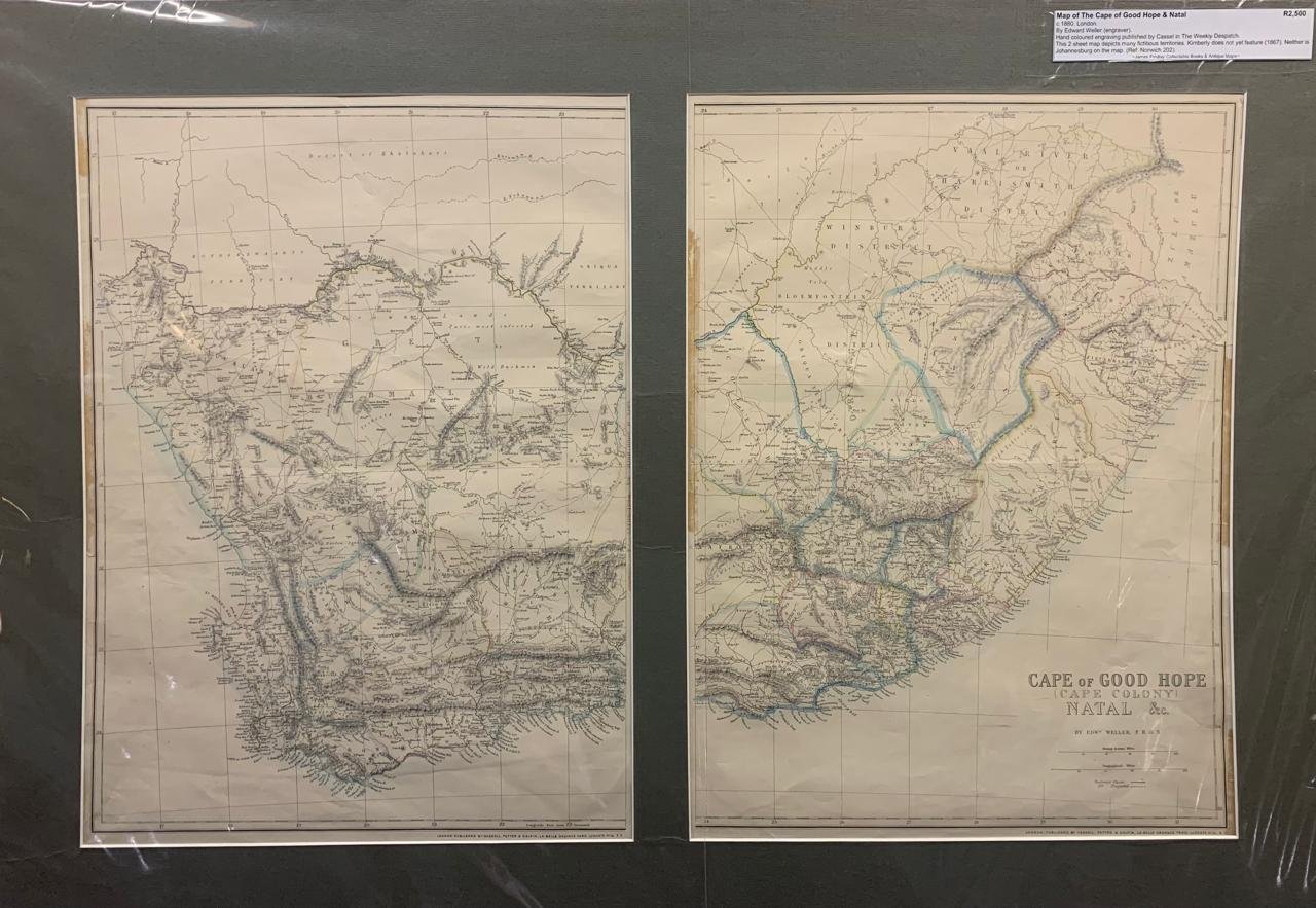
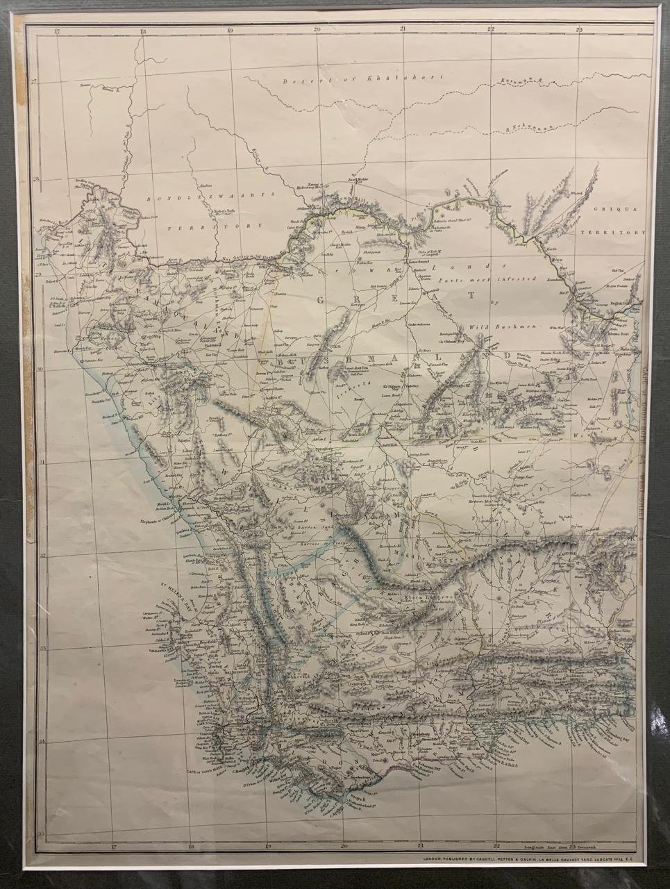
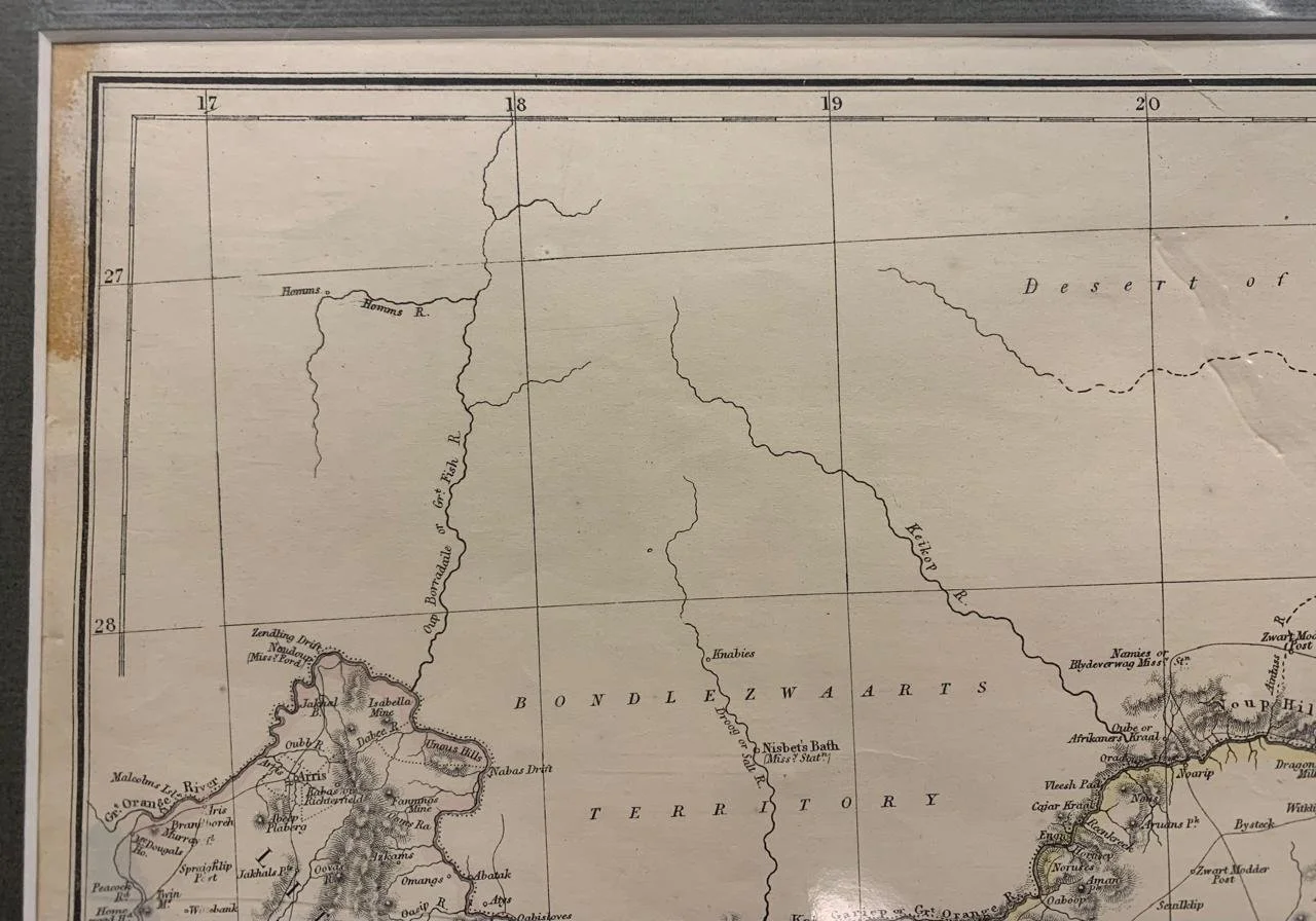
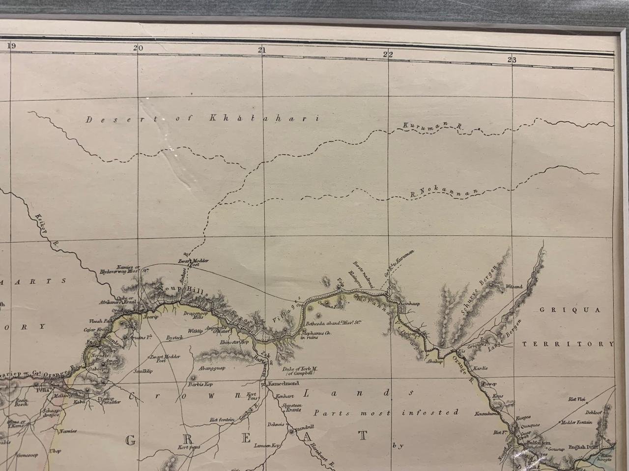
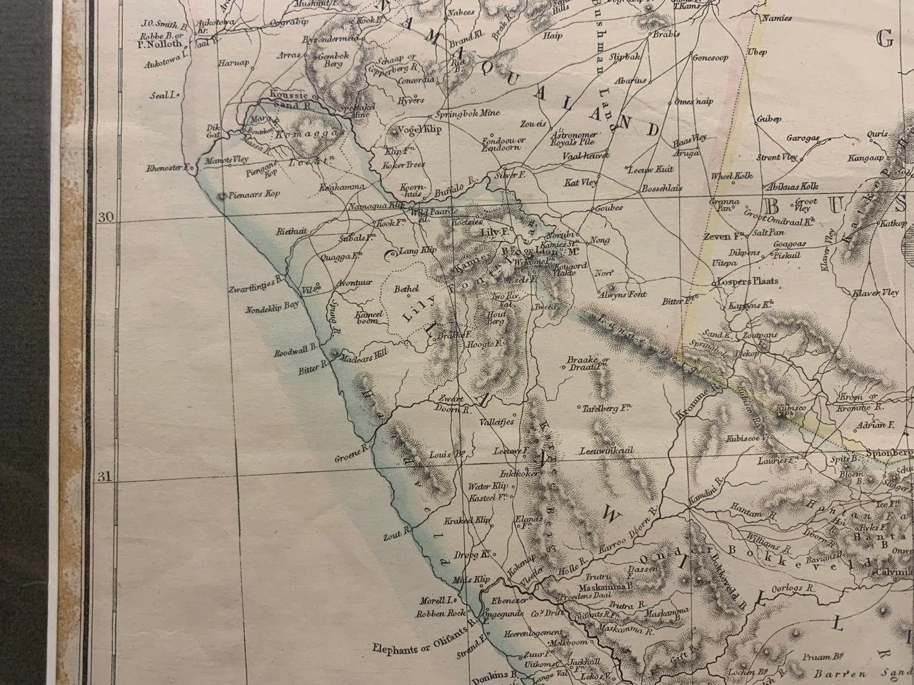
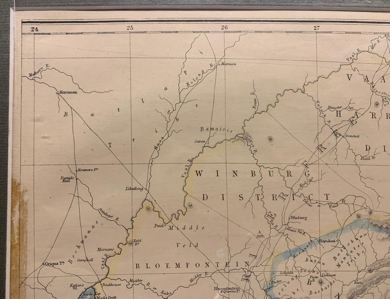
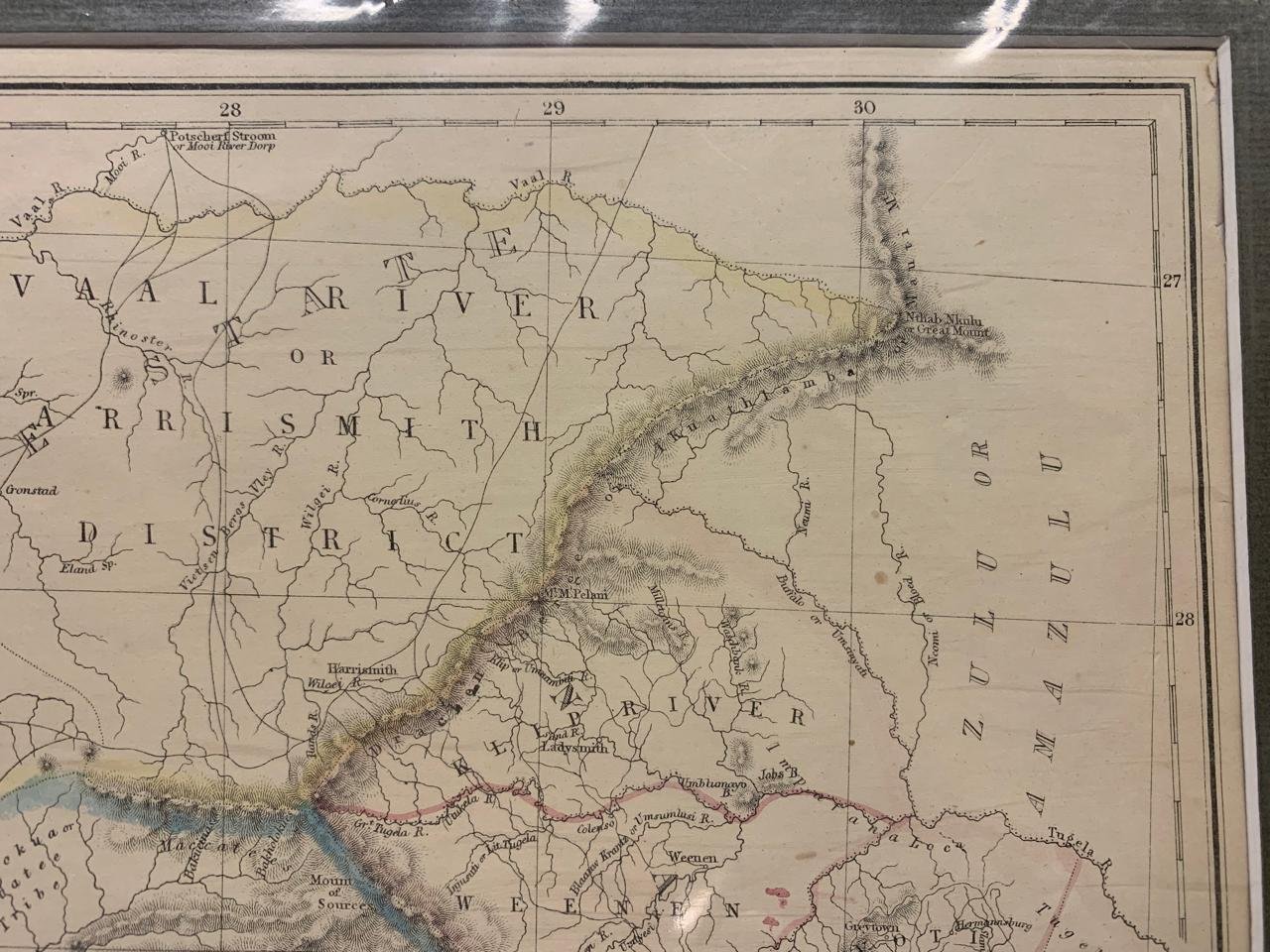
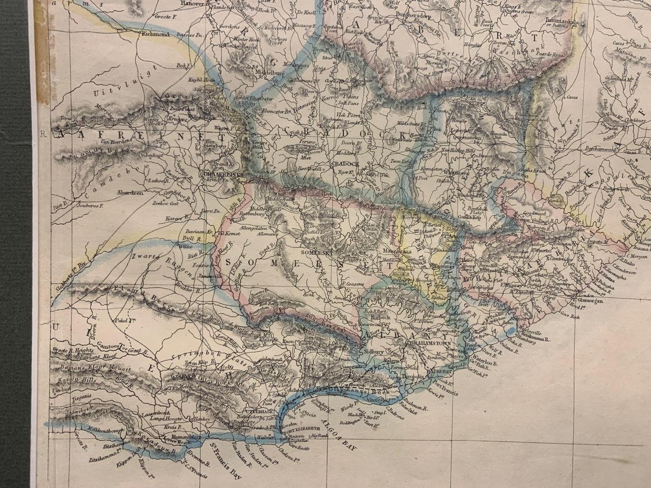
Map of the Cape of Good Hope and Natal
c.1880 London
By Edward Weller (engraver)
Hand-coloured engraving published by Cassel in The Weekly Dispatch.
This two-sheet map depicts many fictitious territories. Kimberly does not yet feature (1867) and neither does Johannesburg (1886).
Ref: Norwich 202.
800mm x 555mm including mountboard
Sold Sept ‘25