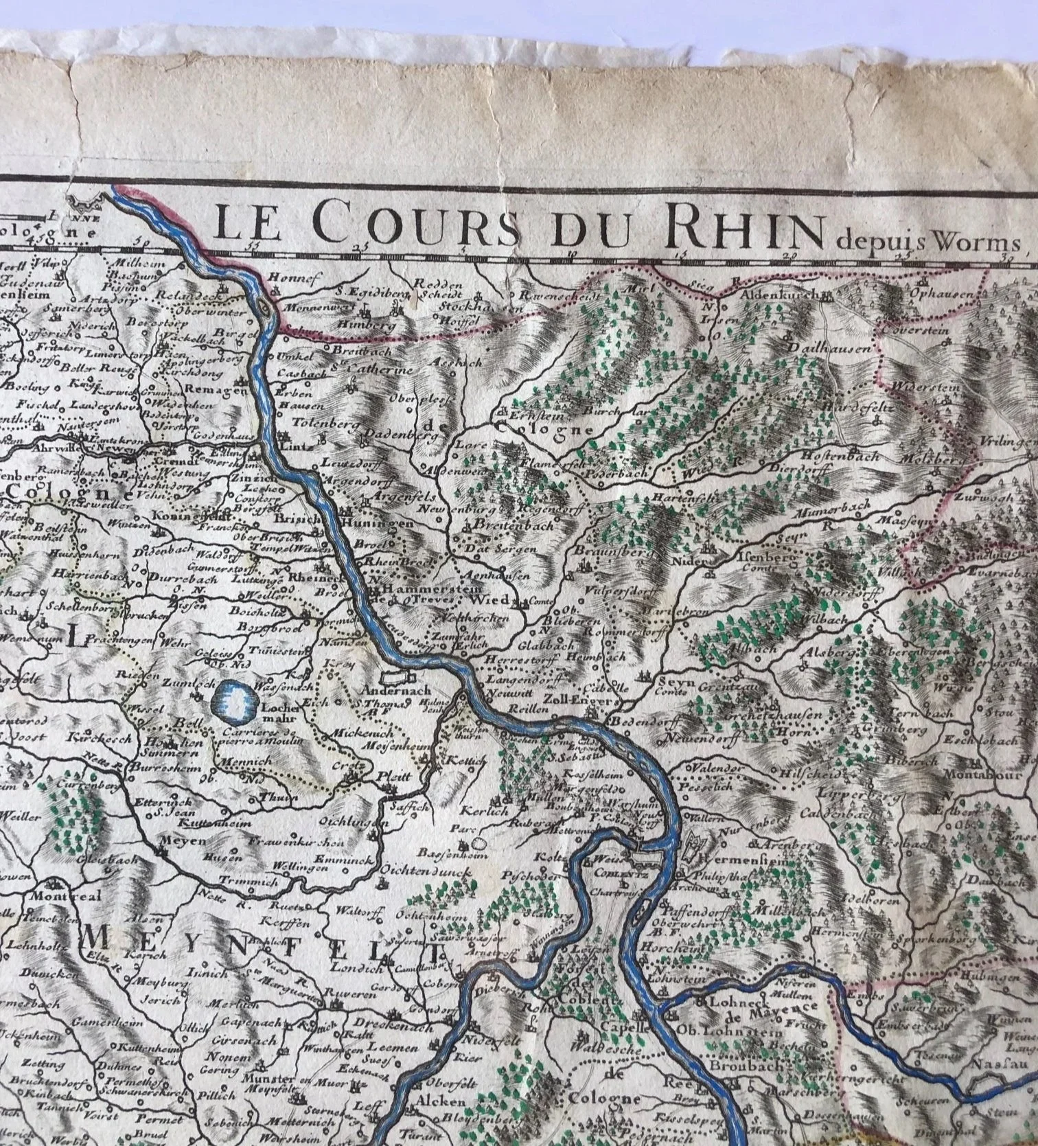
"Le Cours du Rhin depuis Worms jusqu'à Bonne et les Pays Adjacens" (The Course of the Rhine from Worms to Bonn and Adjacent Lands) 1704
By Guillaume Delisle
Map Printed for Wartime News (The War of the Spanish Succession)
When Delisle published this map in 1704, Europe was engulfed in the War of the Spanish Succession (1701–1714), a massive conflict pitting Louis XIV’s France against the Grand Alliance (the Holy Roman Empire, Great Britain, and the Dutch Republic).
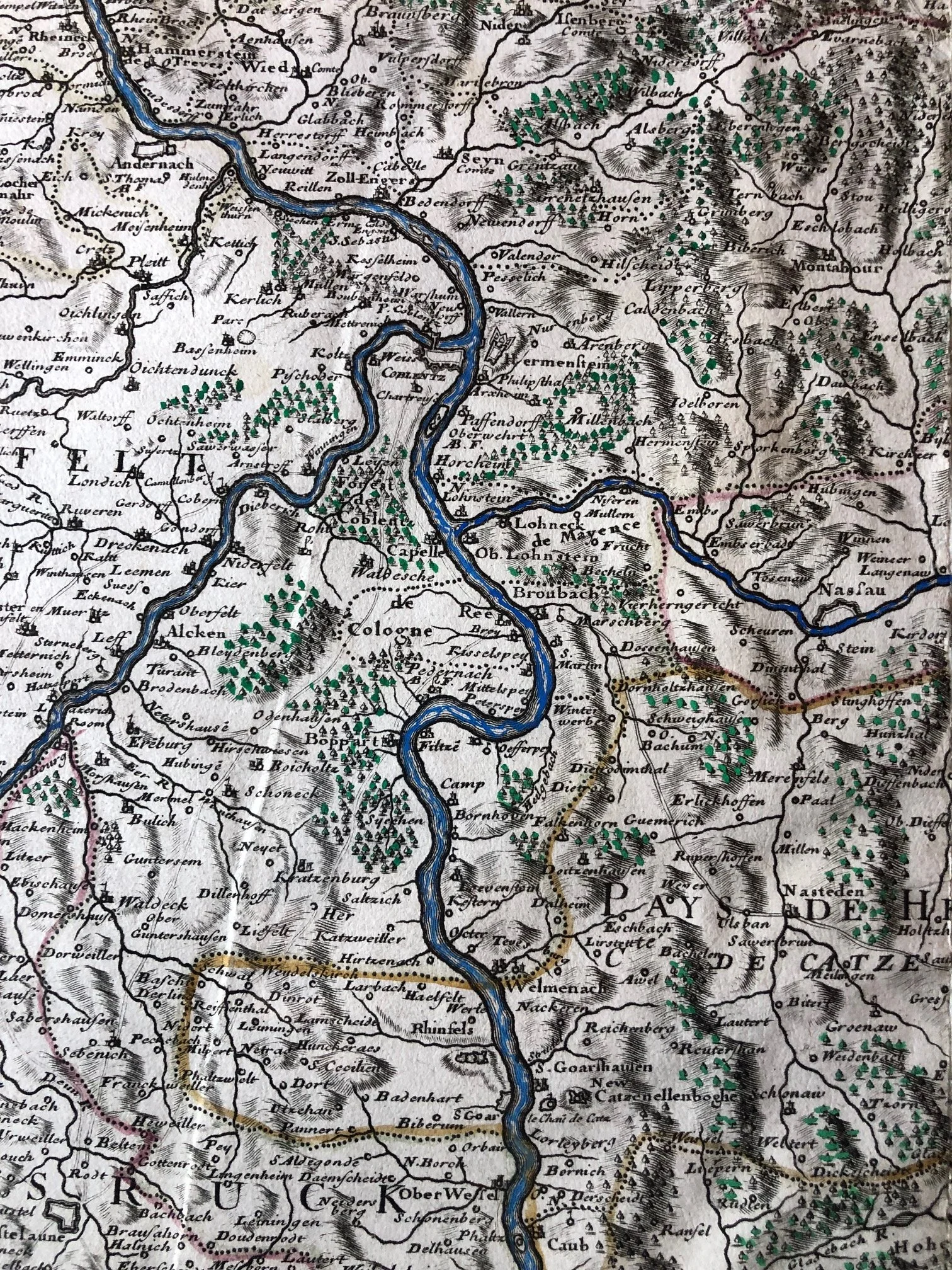
The Rhine River valley shown here was one of the primary, bloodiest theaters of war. Fortified cities explicitly detailed along the river corridor on this map—such as Worms, Mainz, Koblenz, and Bonn—continually changed hands or were subjected to brutal sieges. Maps like this were eagerly bought by military planners and affluent citizens desperate to follow the front-line movements reported in early newspapers.
Delisle’s Scientific Revolution in Cartography
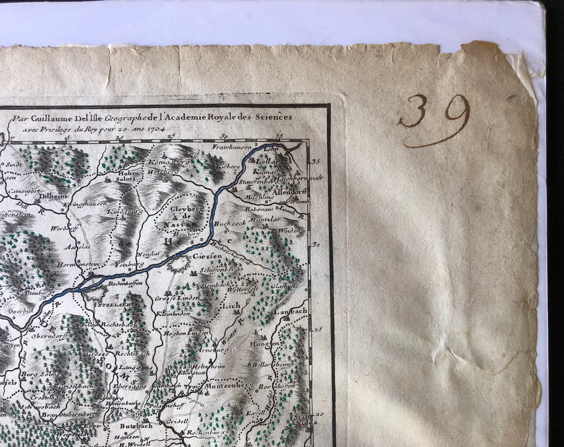
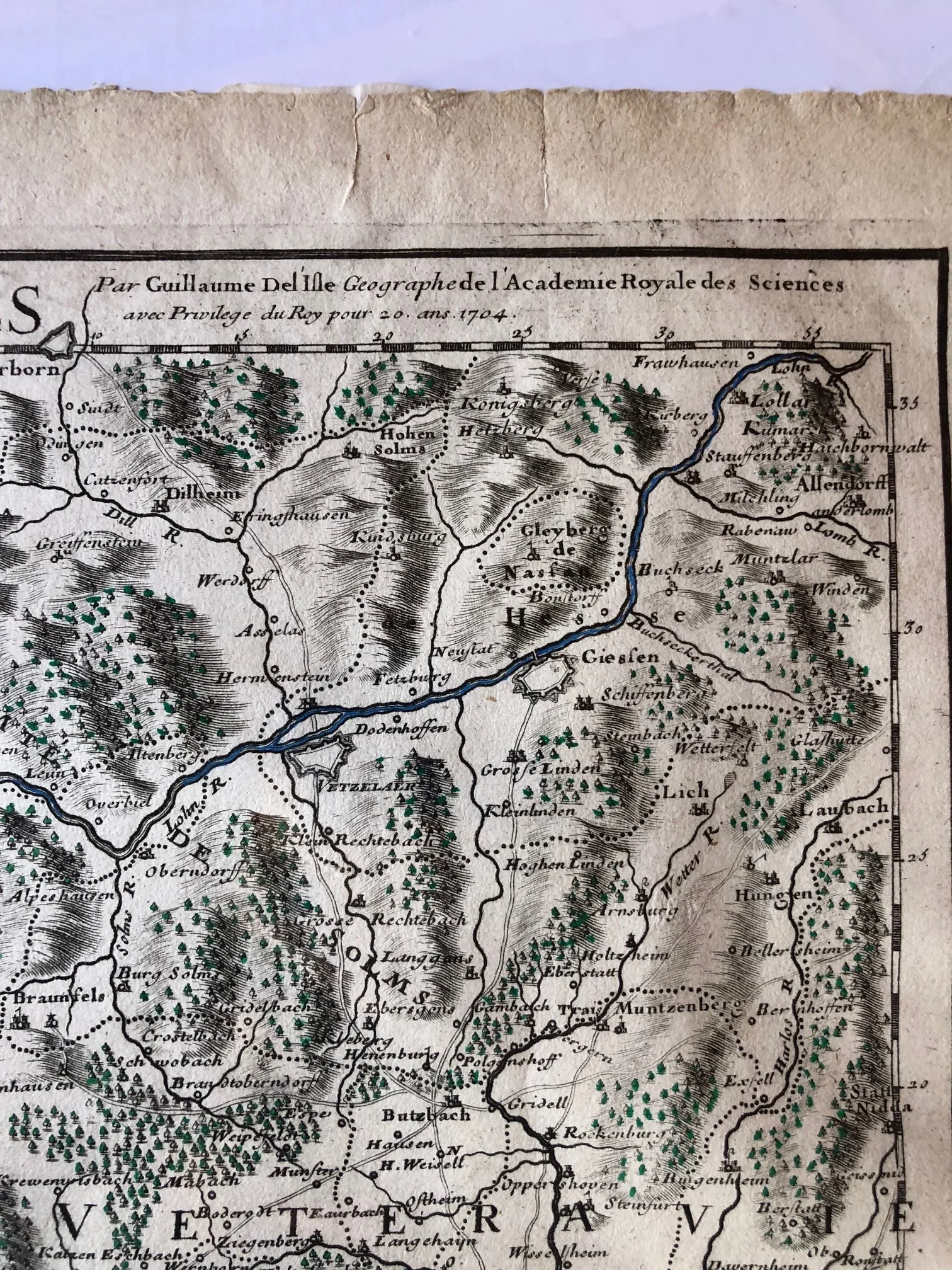
Guillaume Delisle completely revolutionized the field of mapmaking. Before him, European cartographers frequently copied old Dutch maps, repeating centuries-old errors. Delisle, a member of the prestigious Académie Royale des Sciences, adopted a strictly scientific approach.
He used groundbreaking astronomical observations of Jupiter's moons (calculated by the Paris Observatory) to establish exact longitudes and latitudes. This 1704 map is a prime example of his work to strip away decorative, imaginary landscape features in favor of mathematical accuracy and verified topography.
The Power Center of the Quai de l'Horloge
The imprint bottom left reads "A Paris chez l'Auteur sur le Quai de l'Horloge". The Quai de l'Horloge on the Île de la Cité was the beating heart of the French Enlightenment's printing trade. By operating from this address as the Premier Géographe du Roi (First Geographer to the King), Delisle enjoyed direct access to royal hydrographic surveys and military intelligence, making his workshop the most geopolitically informed map house in Europe.
830mm x 573mm (the page size)
Copperplate engraving.
Extensively repaired; recoloured; torn and stained.
R4,500