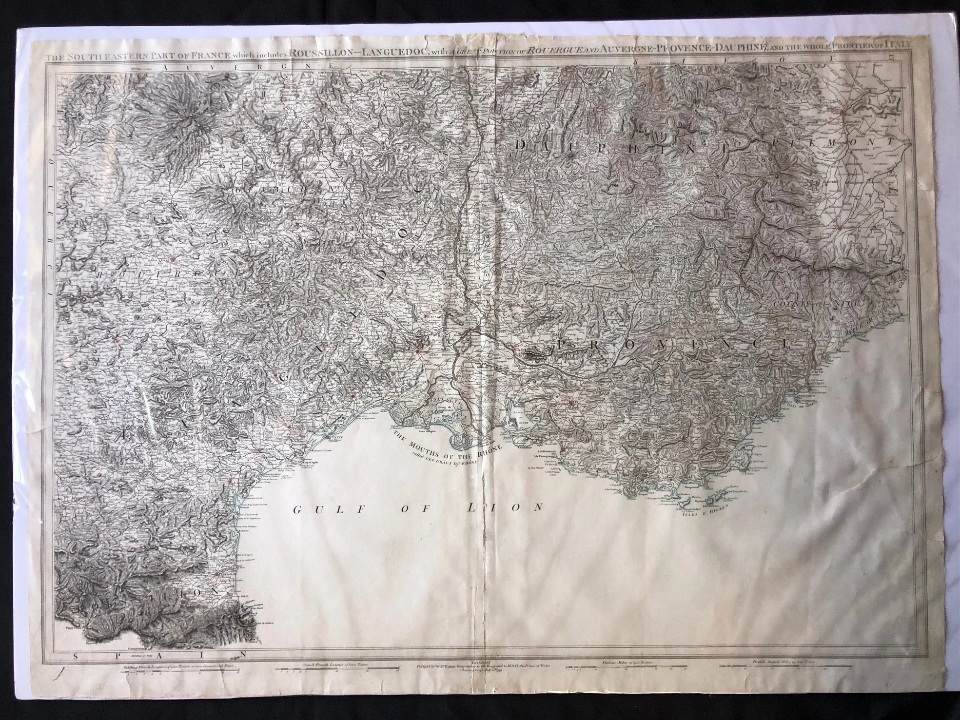
"The South Eastern Part of France..." by William Faden (1799)
This map is William Faden’s landmark large-format map, "The South Eastern Part of France...", published in London on January 1, 1799. Beyond its impressive detail, it holds profound historical significance due to the specific moment in time it was produced:
Mapping an Enemy Territory Mid-War
Published in 1799, this map was printed at the height of the French Revolutionary Wars (specifically during the War of the Second Coalition, where Britain, Russia, and Austria fought against Revolutionary France). For the British public, military strategists, and politicians, detailed geographical knowledge of southeastern France and the Italian frontier—areas of heavy conflict where Napoleon Bonaparte had recently made his name—was of intense geopolitical and military interest.
The Erasure of the Ancien Régime Provinces
The map meticulously outlines the classic provinces of the Ancien Régime—such as Roussillon, Languedoc, Provence, and Dauphiné. Ironically, by the time Faden published this map in 1799, the Revolutionary French government had already abolished these ancient provinces entirely, replacing them in 1790 with the more uniform system of départements. For British map collectors and elites, retaining the traditional province names was a subtle cartographic rejection of the ongoing French Revolution.
Royal Geographer Status
The map was published from Charing Cross by William Faden, who was the premier English cartographer of his day and held the prestigious title of Geographer to His Majesty (King George III). Faden's maps were celebrated for their unparalleled accuracy, and he would later be chosen by the British government to publish the very first official Ordnance Survey maps, making this a prime example of late 18th-century British cartographic dominance.
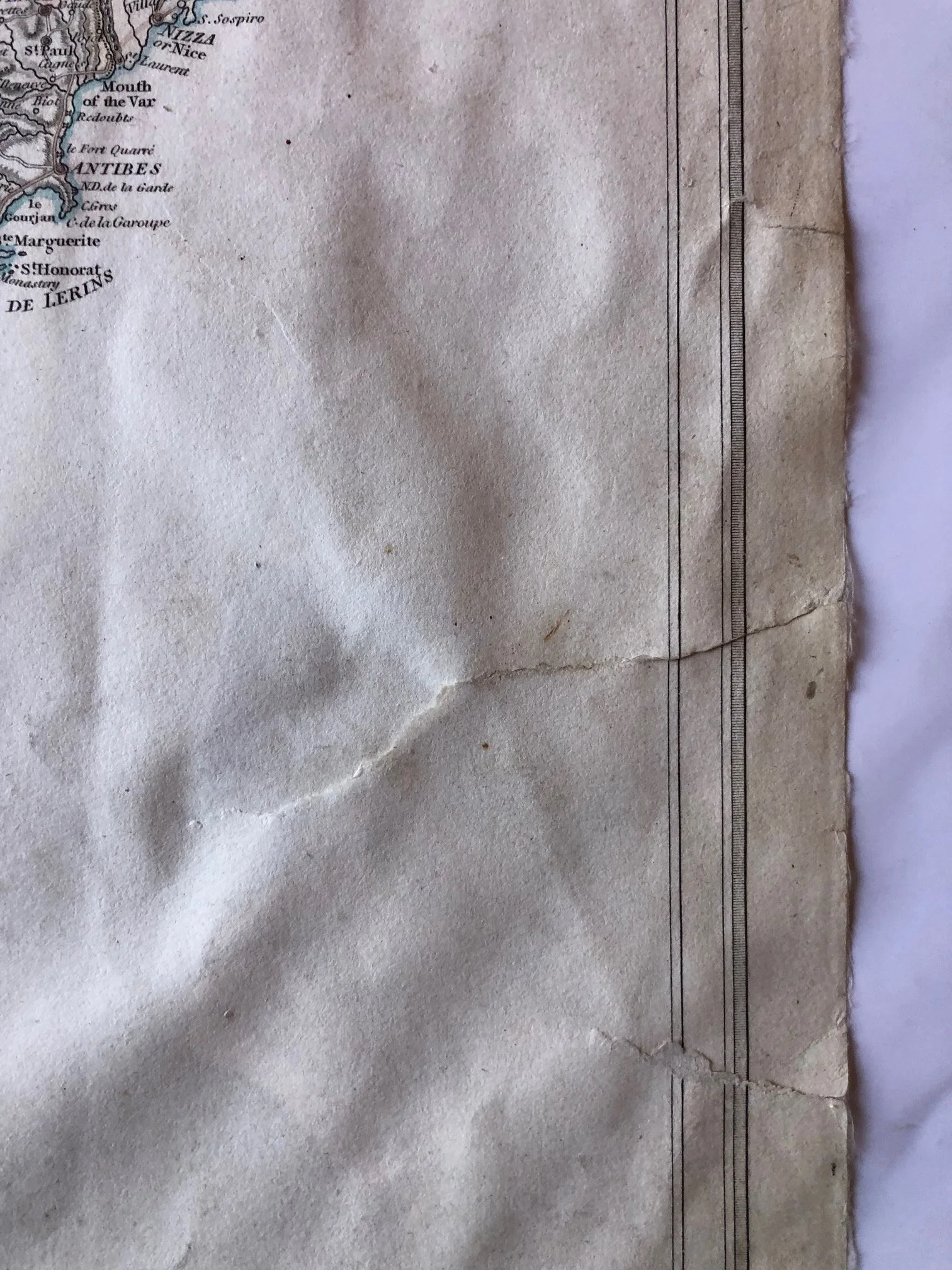
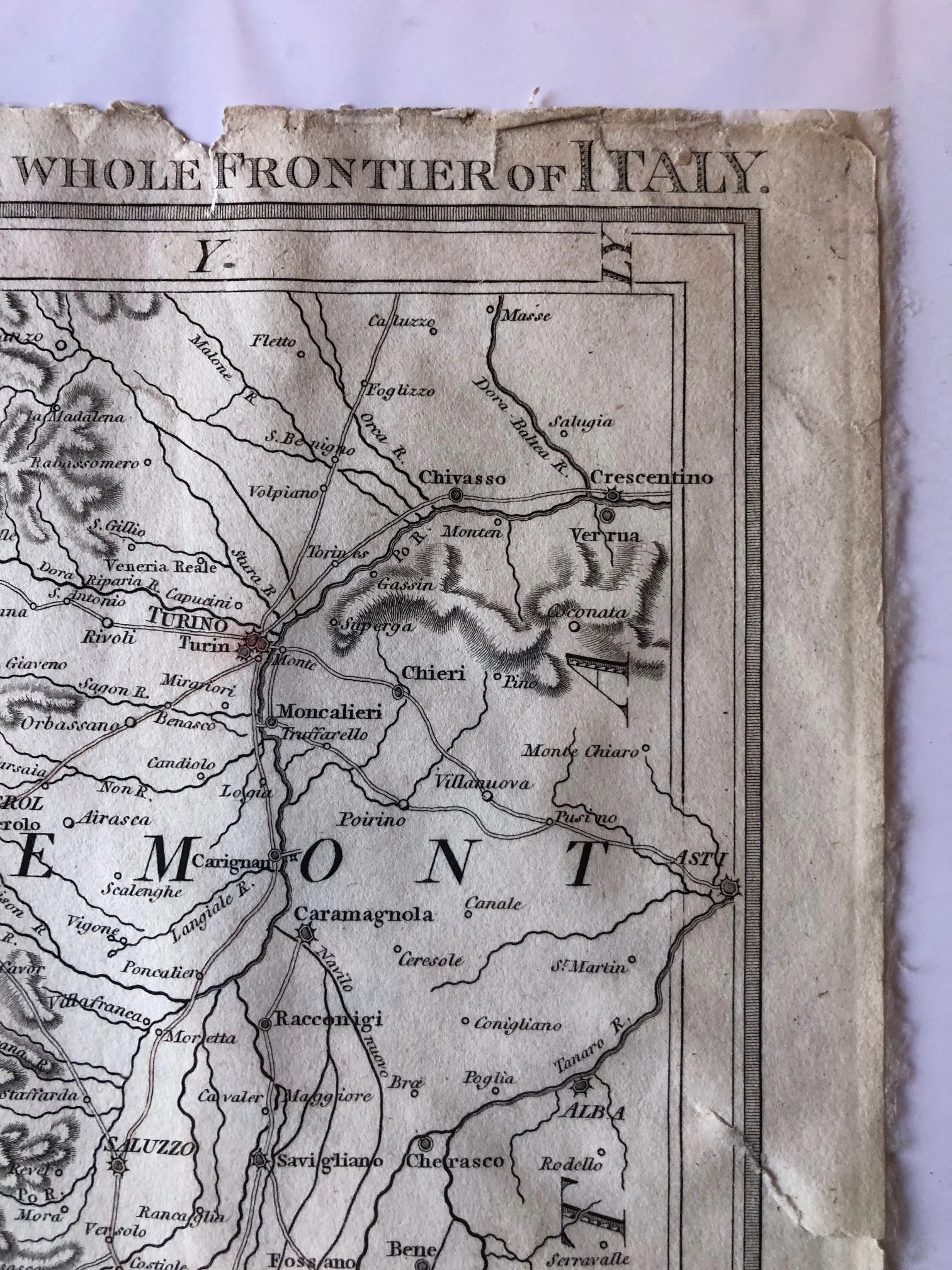
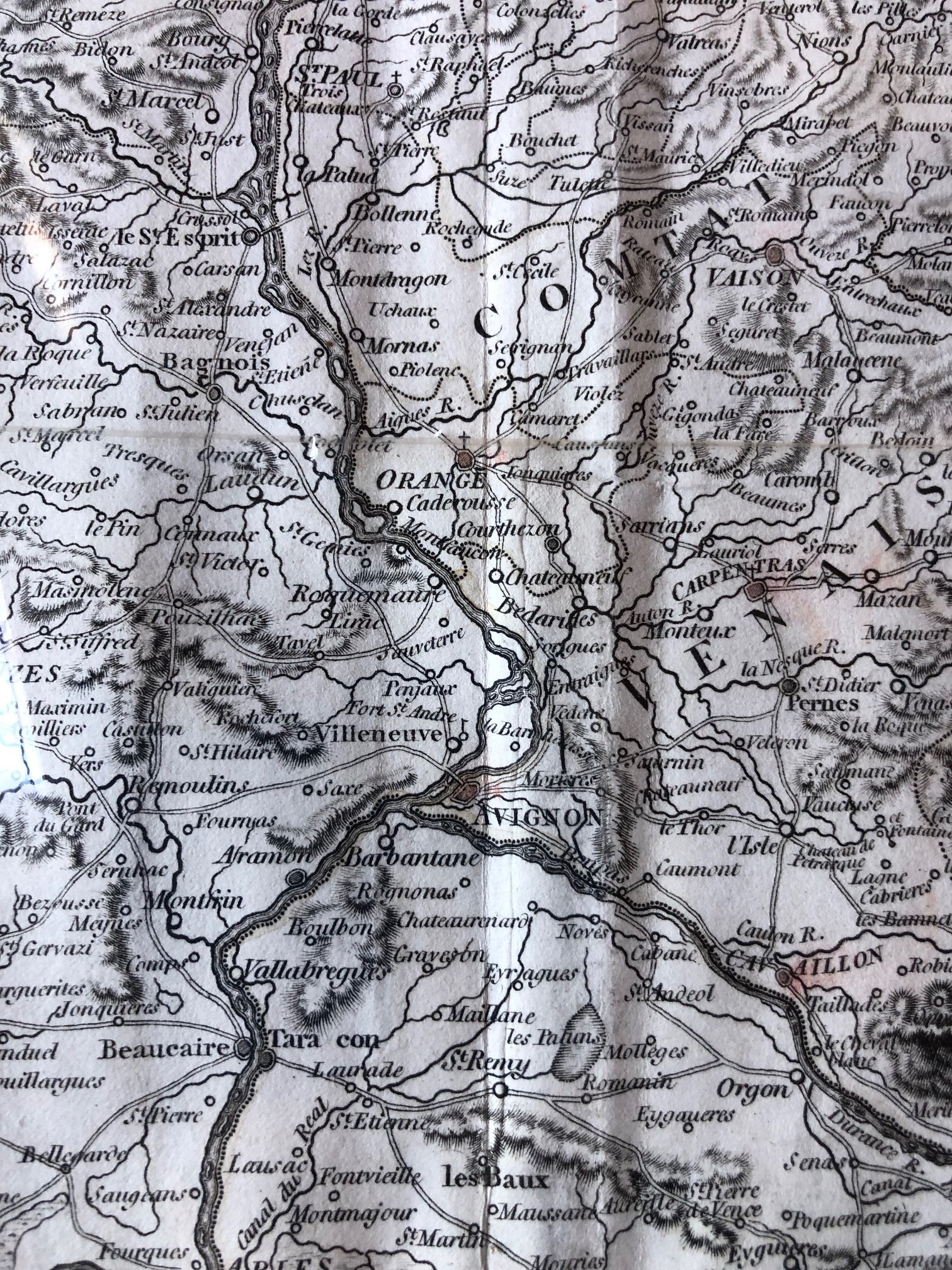
Copperplate engraving; extensively restored; torn; rebacked and stained.
810mm x 585mm
R4,500