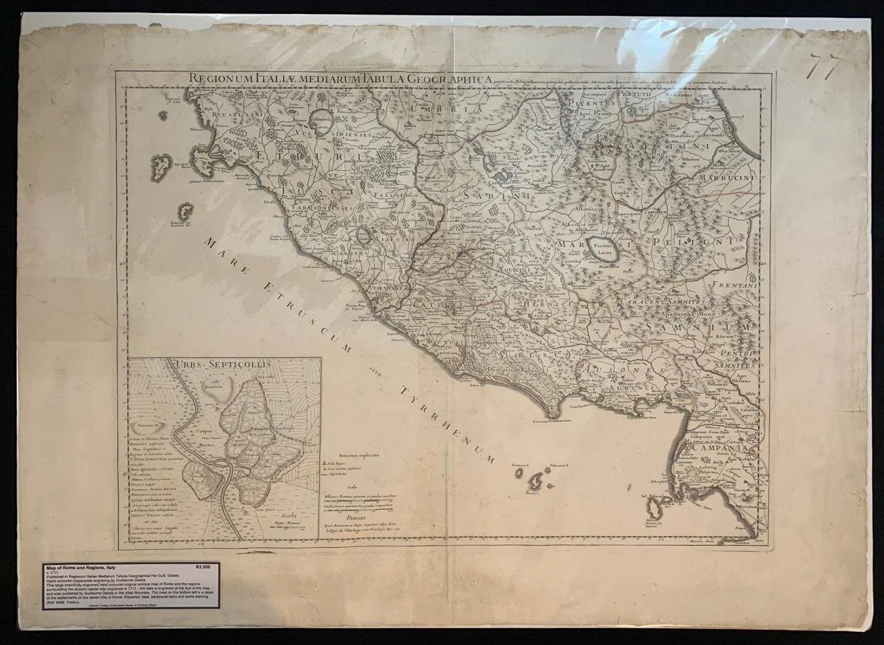
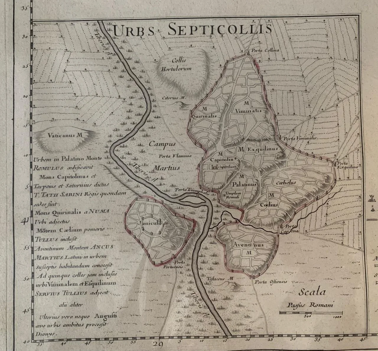
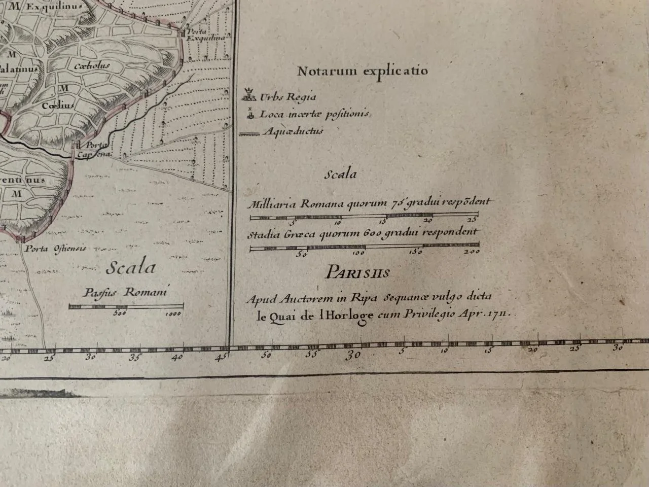
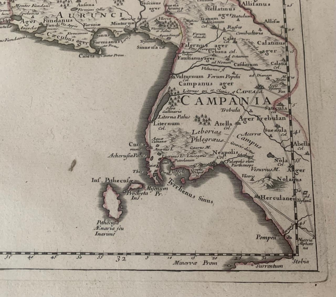
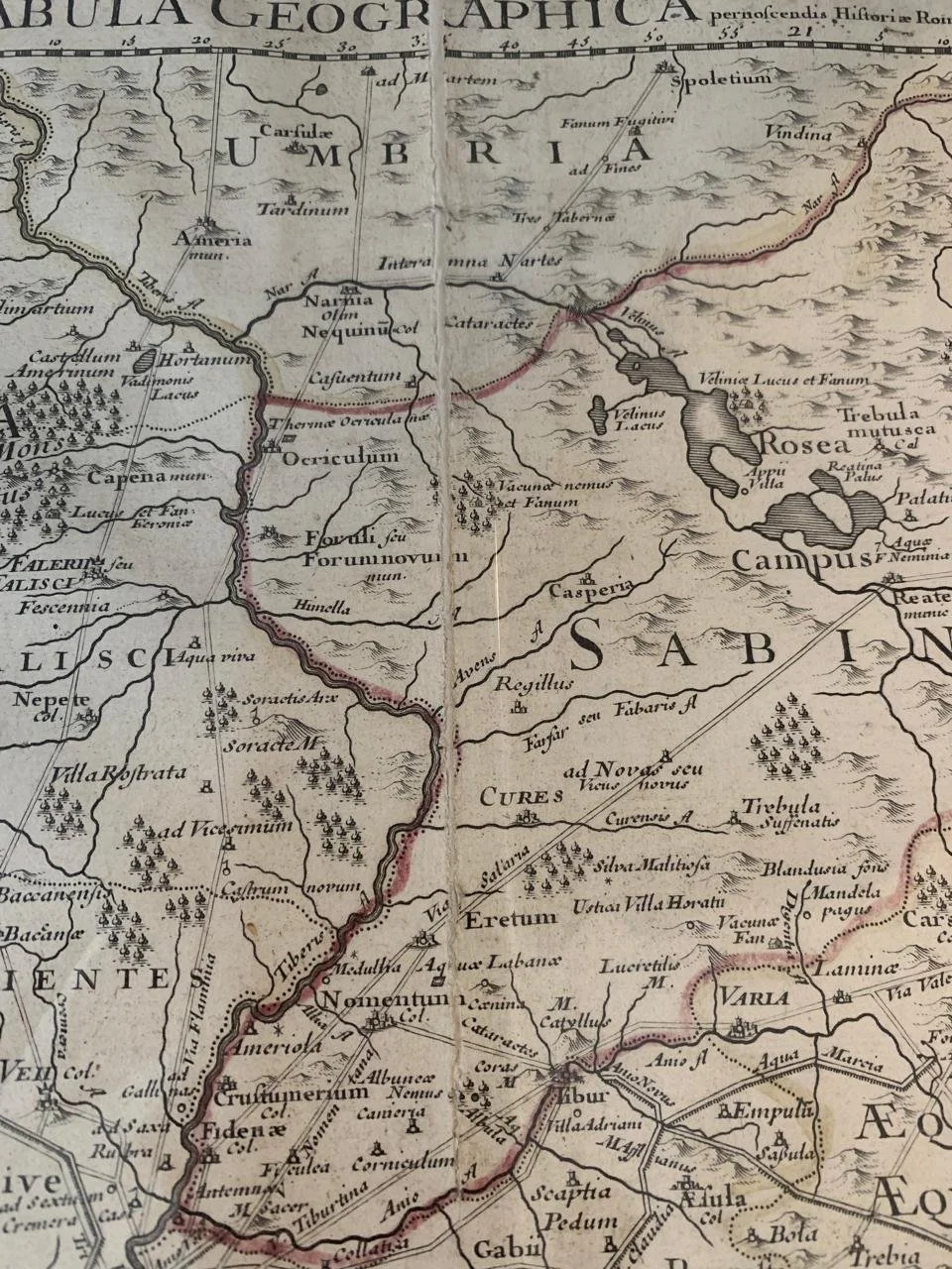
Map of Rome and Regions, Italy (1711)
Published in Regionum Italiae Mediarum Tabula Geographica Par Guill. Delisle.
Hand coloured copperplate engraving by Guillaume Delisle.
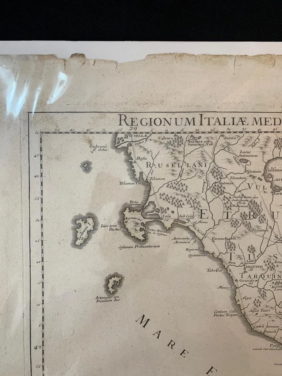
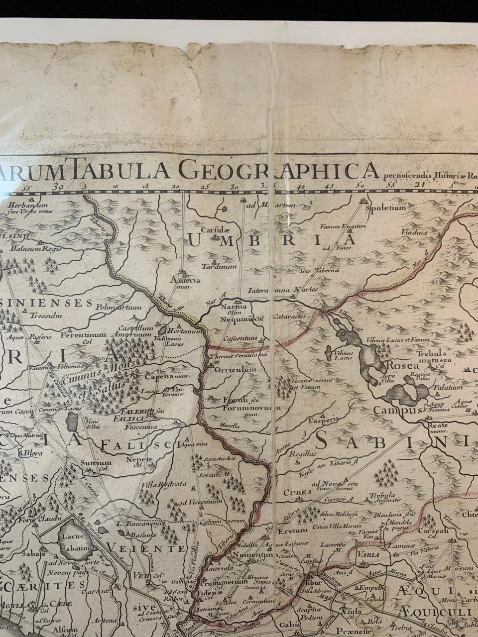
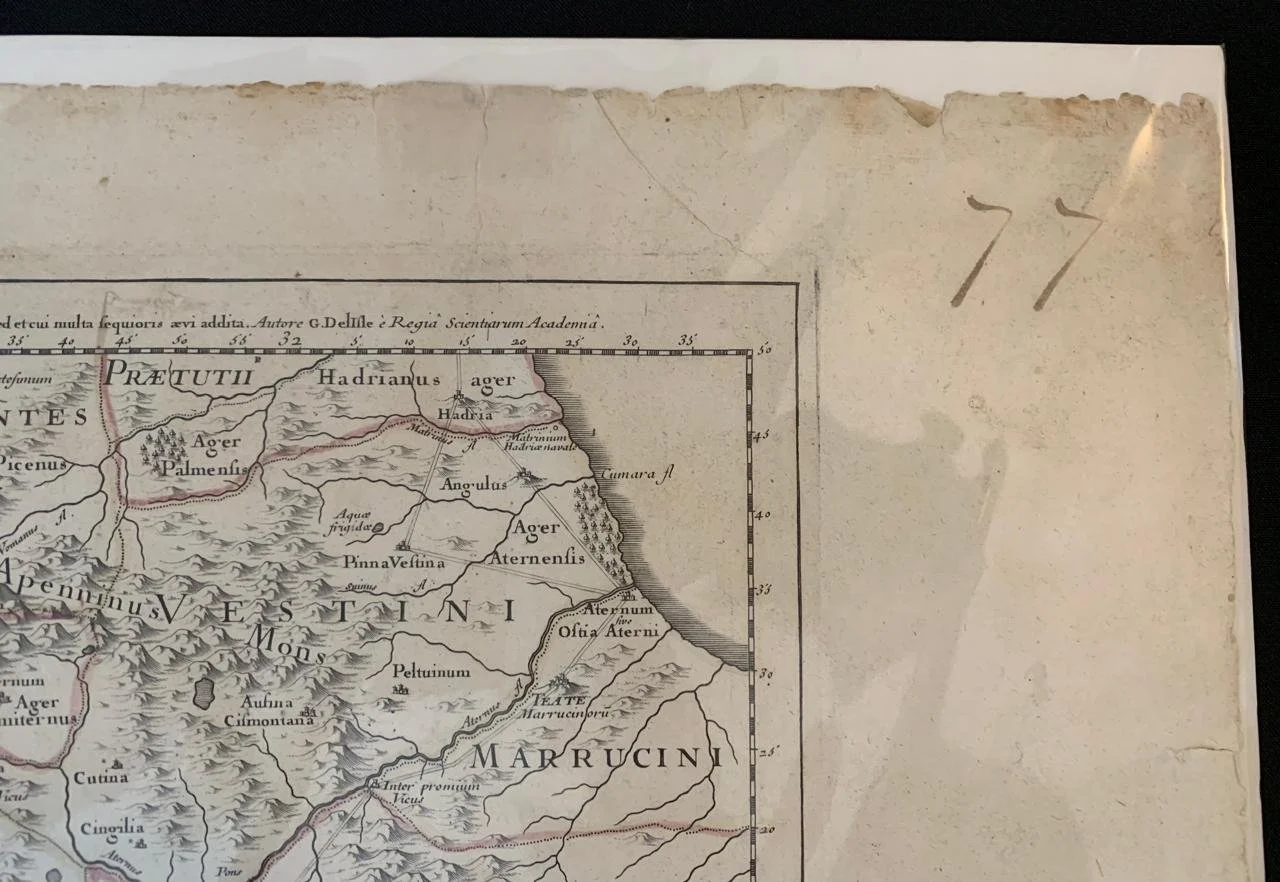
This large beautifully engraved hand coloured original antique map of Rome and the regions surrounding the ancient capital was engraved in 1711 - the date is engraved at the foot of the map - and was published by Guillaume Delisle in the Atlas Nouveau. The inset on the bottom left is a detail of the settlements on the seven hills of Rome.
(Ref: M&B; Tooley).
Repaired, tape, peripheral tears and some staining.
Approx 580mm x 815mm
R3,500