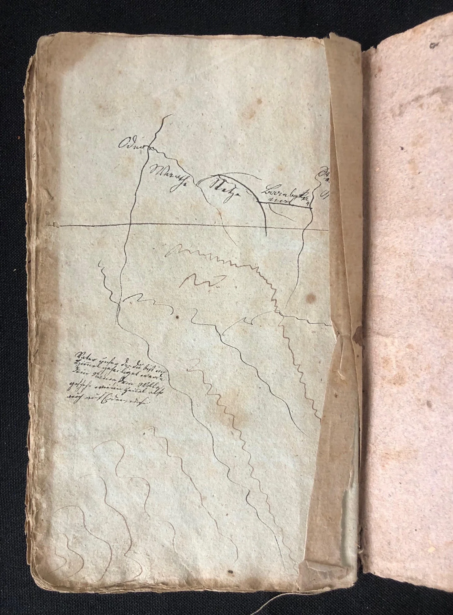
Manuscript student’s geographical compendium written in German. c.1800
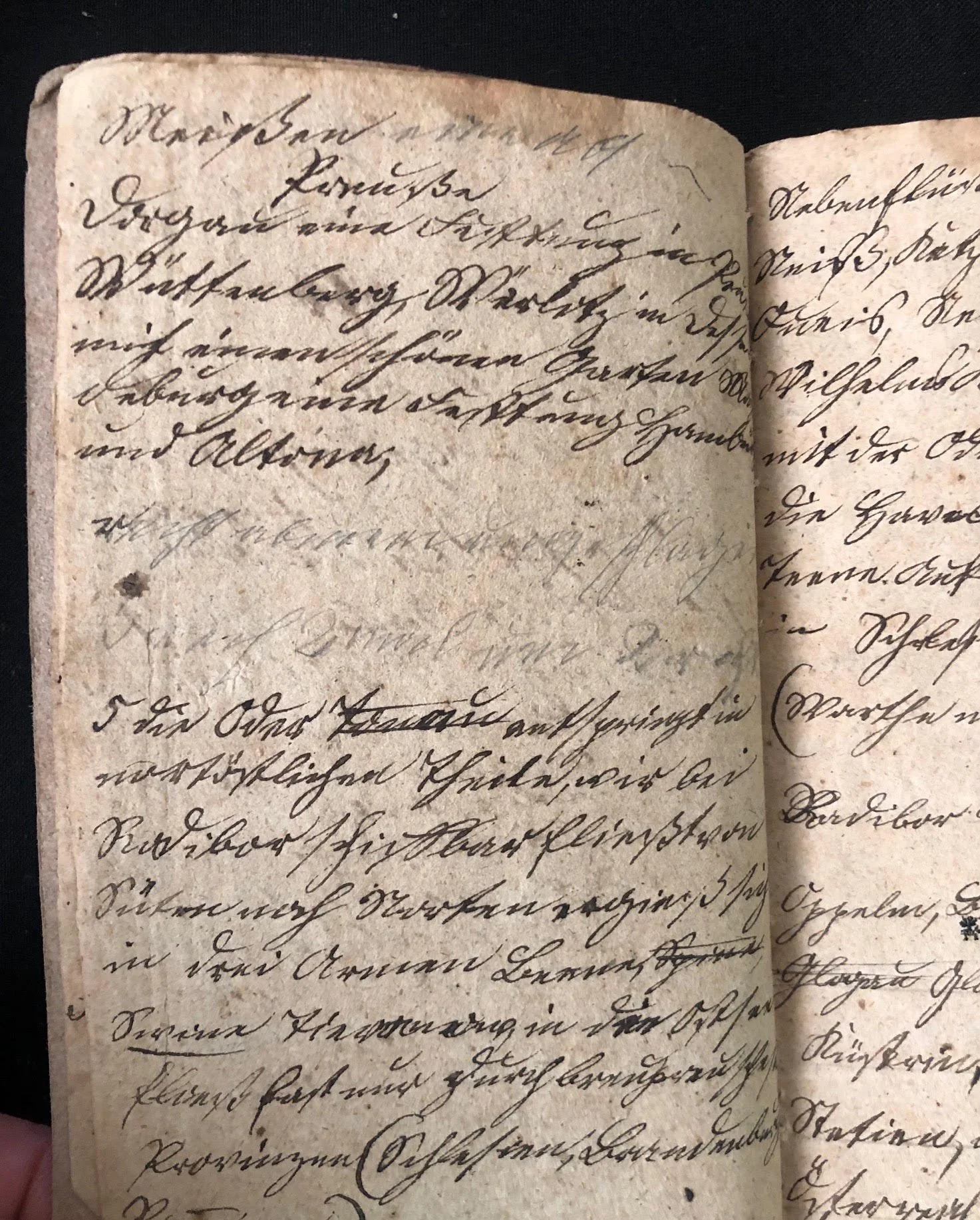
This is a hand-written manuscript pocket notebook or student’s geographical compendium written in German cursive script (Kurrentschrift / Sutterlin precursor), likely dating from the late 18th to early 19th century (circa 1790s–1830s).
This is a personal manuscript notebook—often kept by students, tutors, or travelers—recording detailed geographical, political, and hydrological data across Europe.
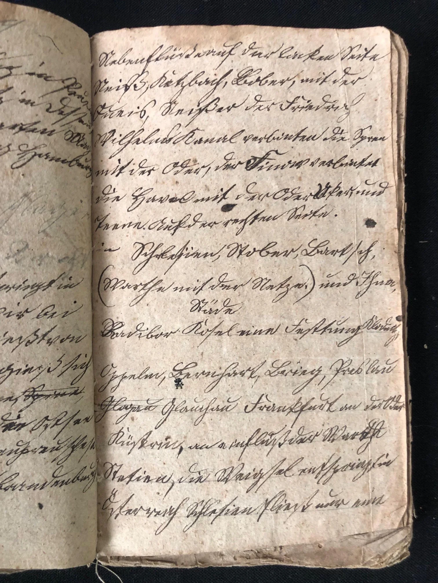
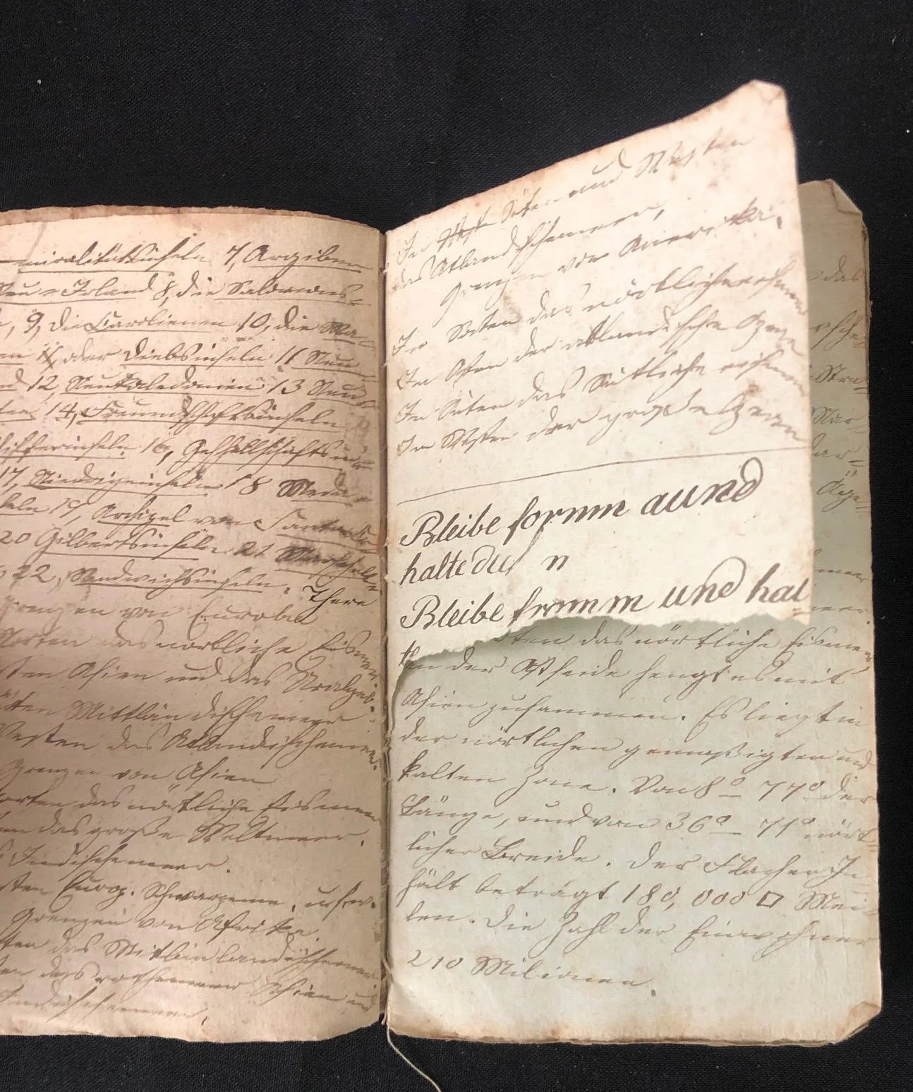
Here’s an example of some of the content.
Key Observations & Text Analysis
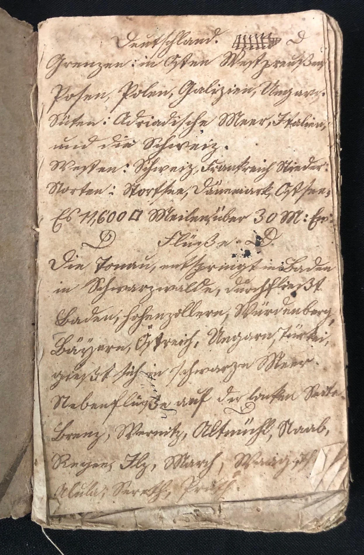
1. Page 4 Overview (Deutschland / Germany)
The fourth page provides a clear structural overview of Germany's geographical boundaries and major rivers:
Header: Deutschland (Germany)
Boundaries (Grenzen):
East (Osten): Westpreußen (West Prussia), Posen, Polen (Poland), Galizien (Galicia), Ungarn (Hungary).
South (Süden): Adriatisches Meer (Adriatic Sea), Italien (Italy), und die Schweiz (and Switzerland).
West (Westen): Schweiz, Frankreich, Niederlande (Switzerland, France, Netherlands).
North (Norden): Nordsee (North Sea), Dänemark (Denmark), Ostsee (Baltic Sea).
Area Size: Recorded as approximately 11,600 square German miles (Quadratmeilen).
Hydrology (Flüsse):
Describes the Donau (Danube), noting that it originates in Baden in the Black Forest (Baden im Schwarzwald) and flows through Baden, Hohenzollern, Württemberg, Bayern (Bavaria), Österreich (Austria), Ungarn (Hungary), and Turkey before emptying into the Black Sea (Schwarzes Meer).
Lists tributaries on the left bank (Nebenflüsse auf der linken Seite), including the Breg, Brigach, Altmühl, Naab, Regen, Ilz, March, and Waag.
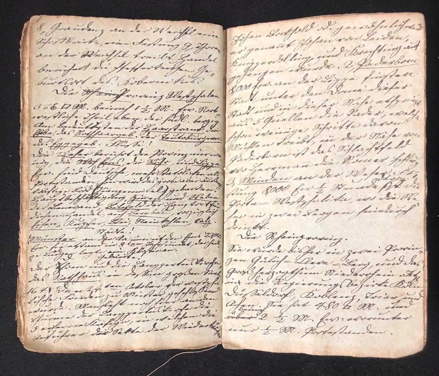
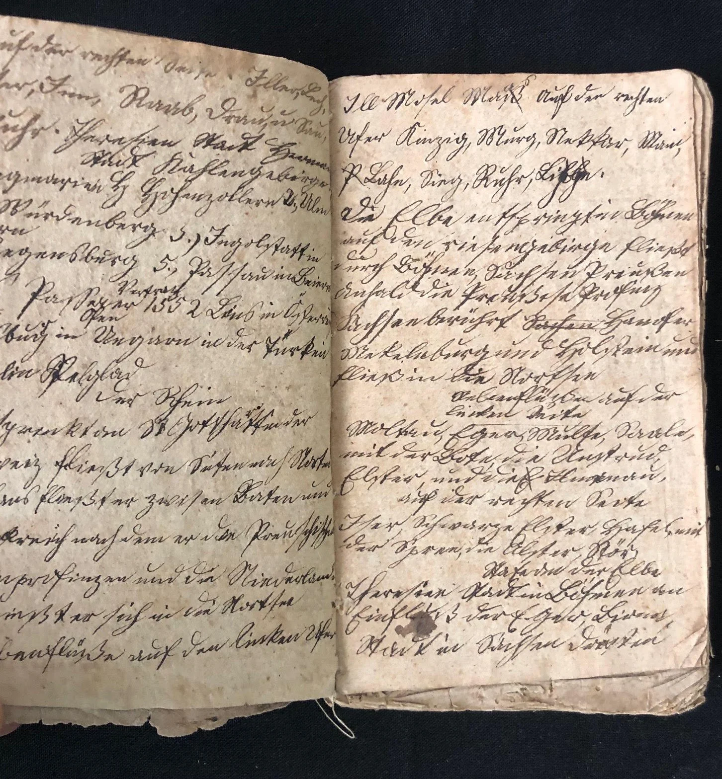
2. Pages 1 to 3 (Regional Breakdown & Physical Features)
The remaining pages systematically detail other European territories, mountains, and river systems:
Geographical Scope: Covers various German states, Central European regions, and adjacent territories (mentioning areas like Frankfurt, Würzburg, Heidelberg, and various alpine and mountain regions).
Structure: Organizes geographical features by right/left bank tributaries (rechten/linken Seite), mountain chains (Gebirge), and administrative divisions/cities.
Script: Written in classic German Kurrent hand, characterized by sharp angles, vertical emphasis, and distinct loop styles typical of late 18th- and 19th-century German-speaking lands.
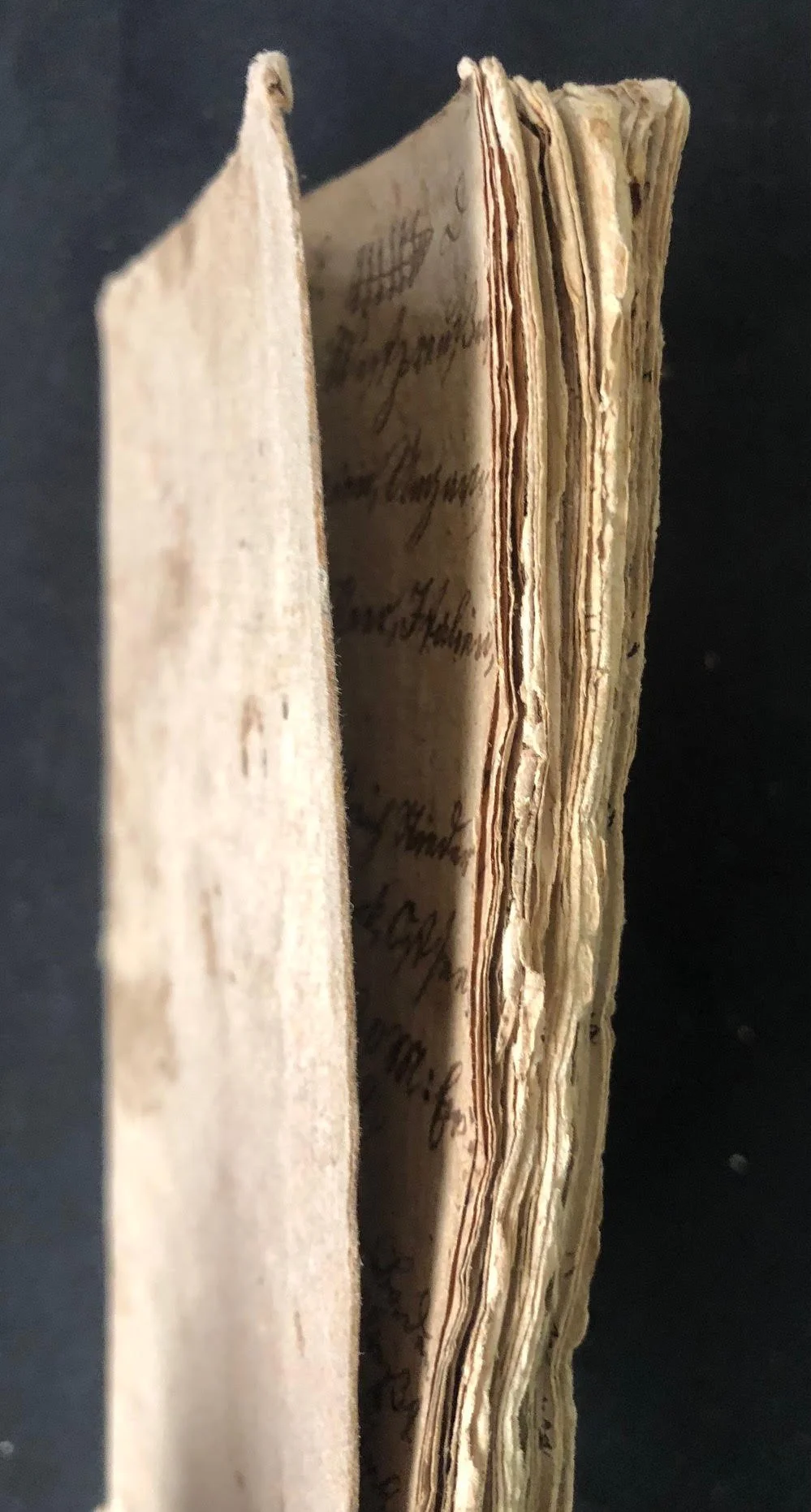
Well used; some pages torn with loss etc. Sold as is. 73 pages.
110mm x 180mm x 10mm
R1,250