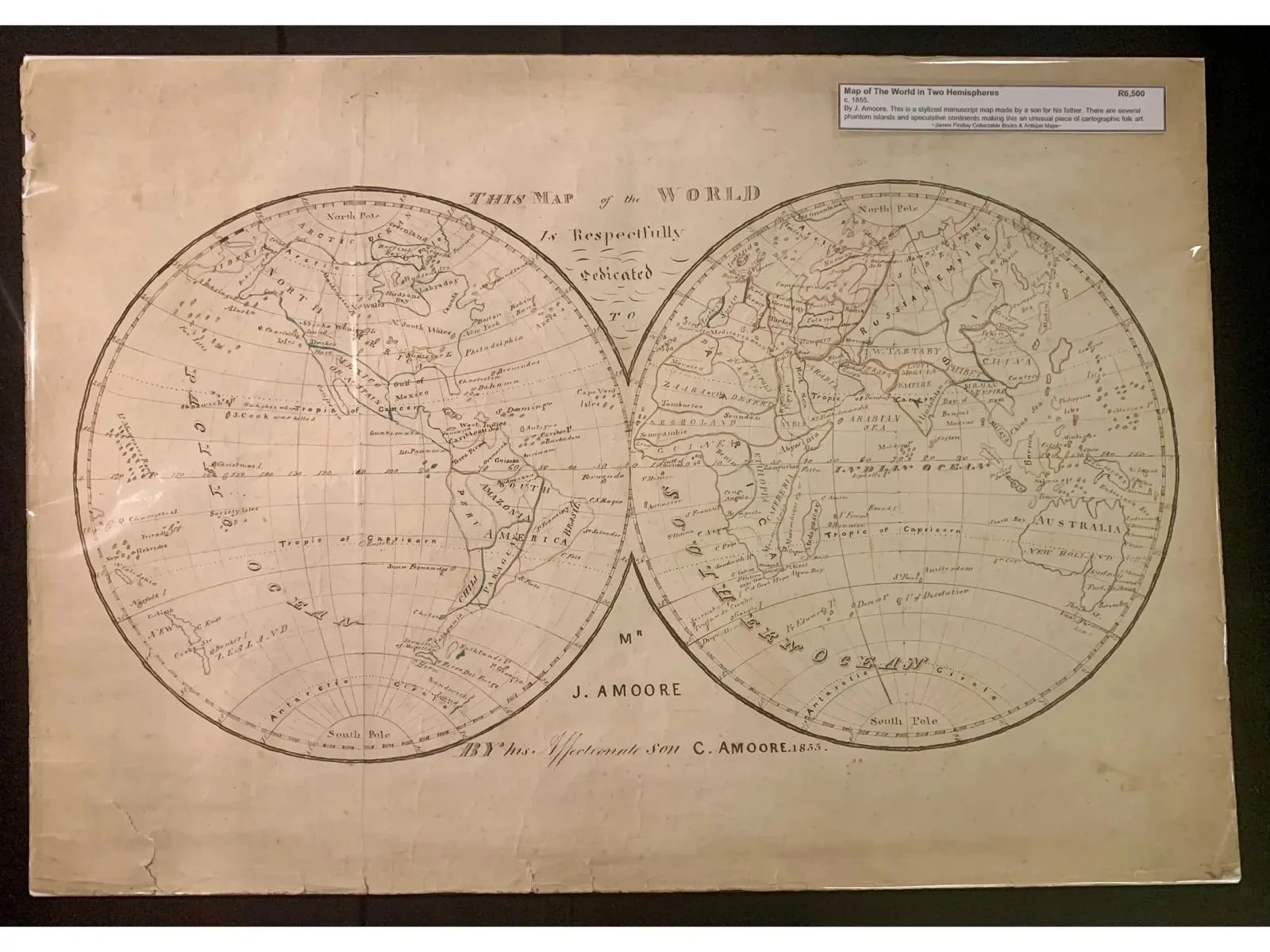
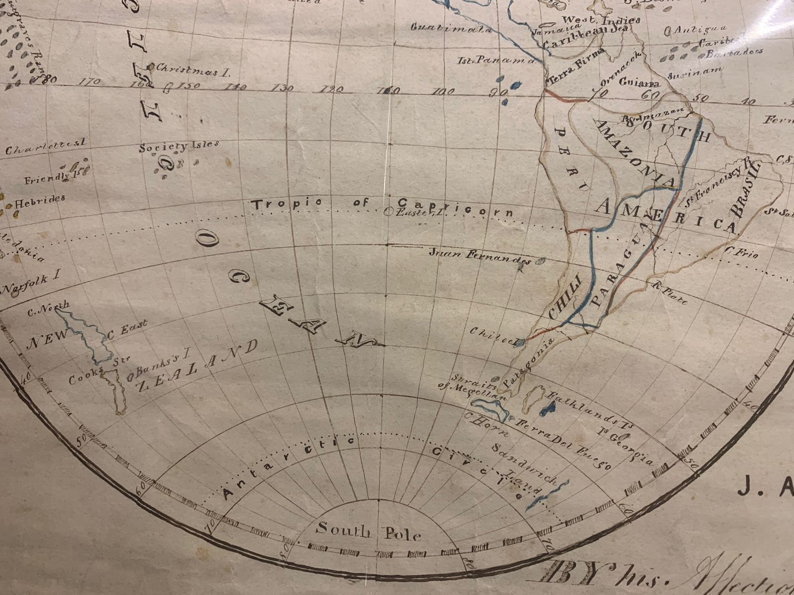
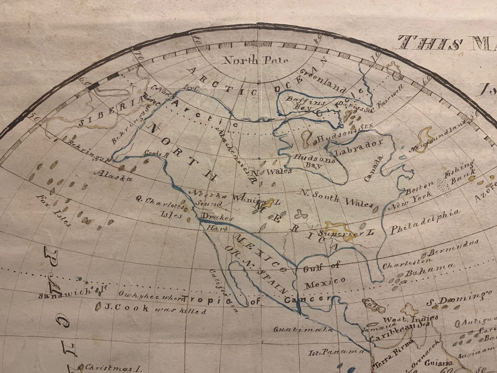
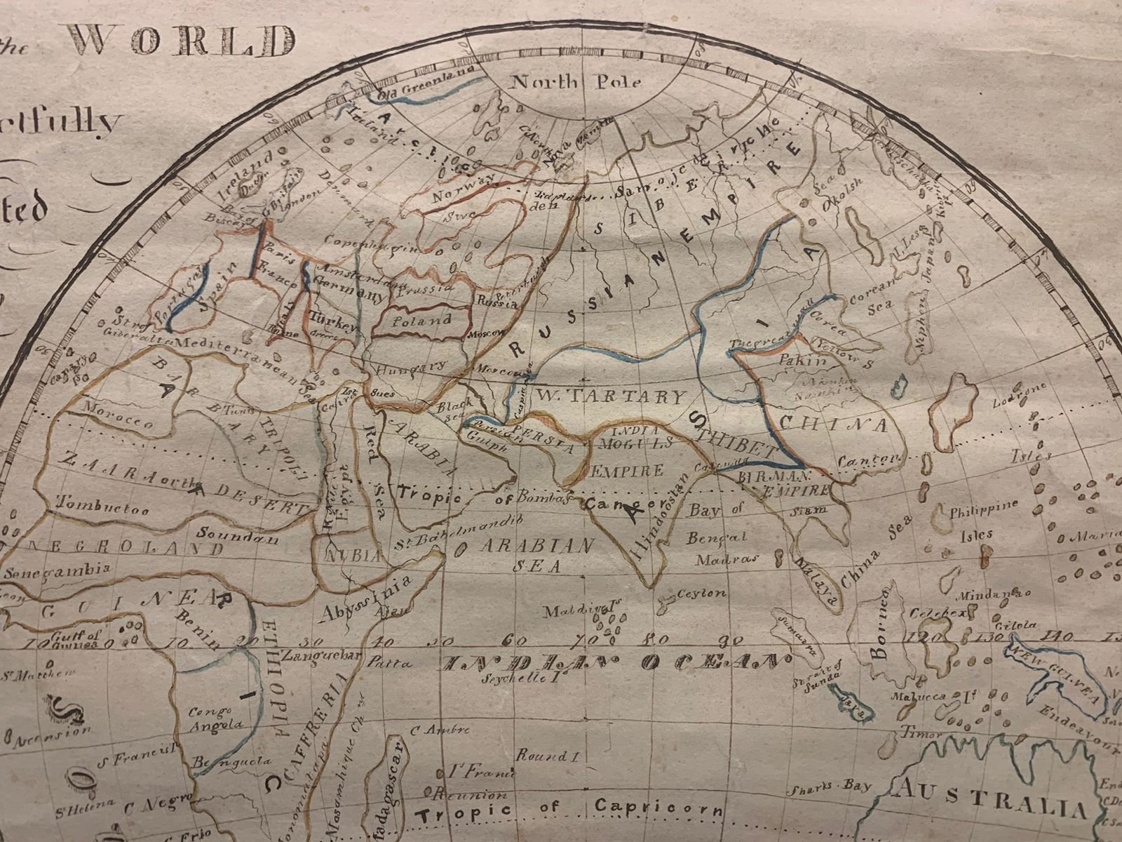
Map of the World in Two Hemispheres By C.Amoore (1855)
By C.Amoore for J.Amoore.
1855.
This is a stylized map made by a son for his father. There are several phantom islands and speculative continents, making this an unusual piece of cartographic folk art.
560mm x 390mm (unframed)
R6,500
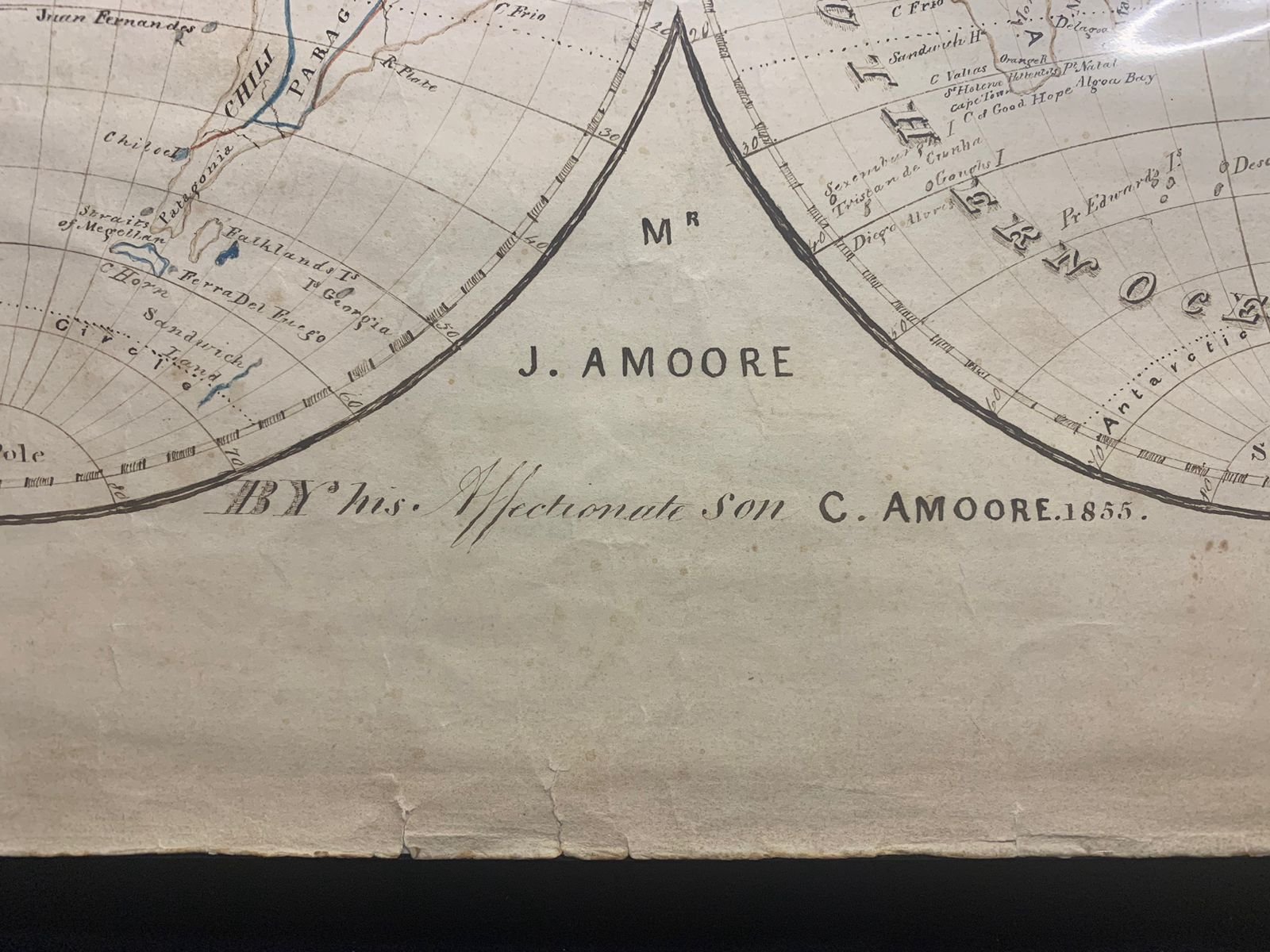
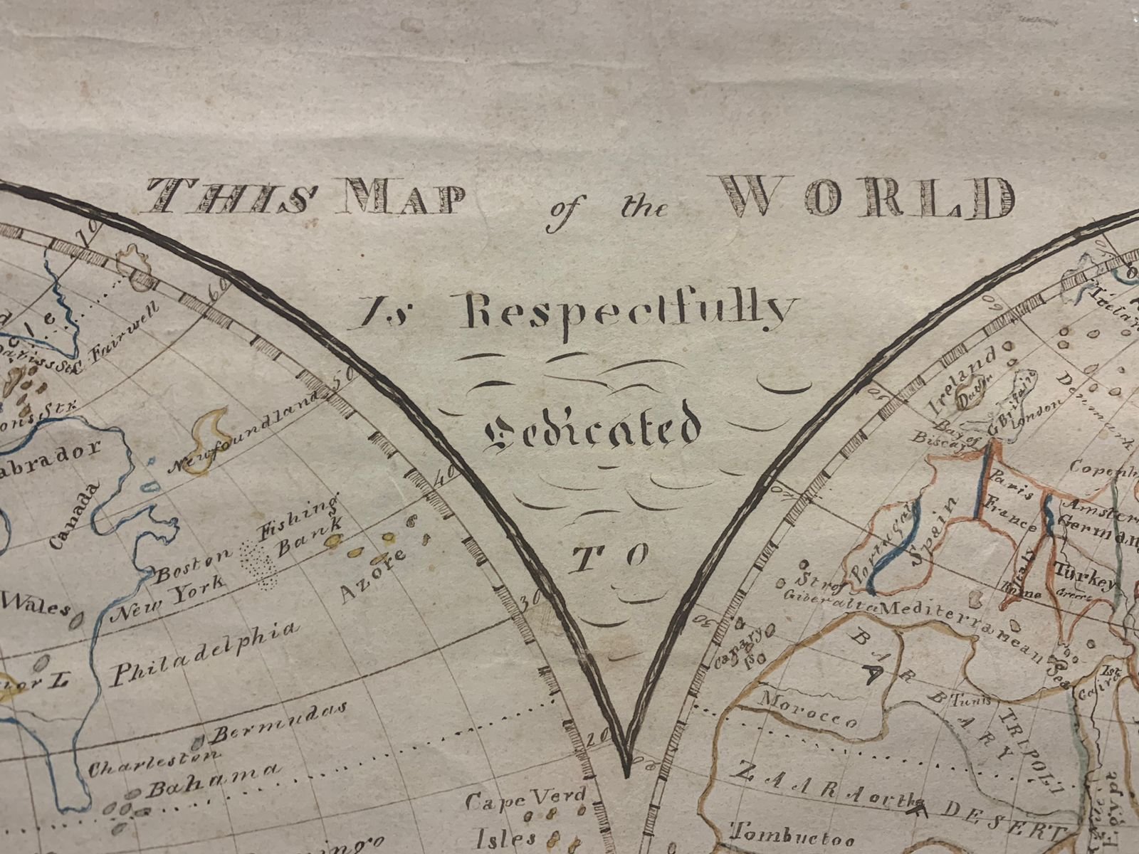
This 1855 double-hemisphere manuscript map, titled "This Map of the World Is Respectfully Dedicated To Mr. J. Amoore By his Affectionate Son C. Amoore 1855," is a rare piece of 19th-century cartographic folk art and personal manuscript drafting.
Key Historical & Cartographic Aspects
Unique Manuscript & Filial Dedication: Unlike engraved, mass-produced commercial maps of the Victorian era, this is a hand-drawn manuscript map executed in ink. The prominent dedication spanning the central spandrels explicitly marks it as a gift drafted by C. Amoore for his father, J. Amoore, in 1855. Manuscript maps created as personal family pieces rarely survive in such complete condition.
Presence of Phantom Islands & Speculative Geography: Because the artist compiled geographical data from various older sources and family atlases, the map features several famous phantom islands and cartographic anomalies that had already been disproven by official hydrographic surveys by 1855.
Historical Points of Exploration Marked: The map explicitly incorporates mid-19th-century historical milestones, such as highlighting where Captain James Cook was killed in the Hawaiian Islands (Sandwich Isles) in 1779.
Mid-19th-Century World Nomenclature:
Australia: Mapped as Australia, but still retaining the older Dutch designation New Holland across its southern interior.
Tartary & Russian Empire: Covering northern Asia, reflecting pre-modern regional divisions before modern geopolitical borders consolidated.
Retaining 18th- and early 19th-century European terminology across interior Africa.
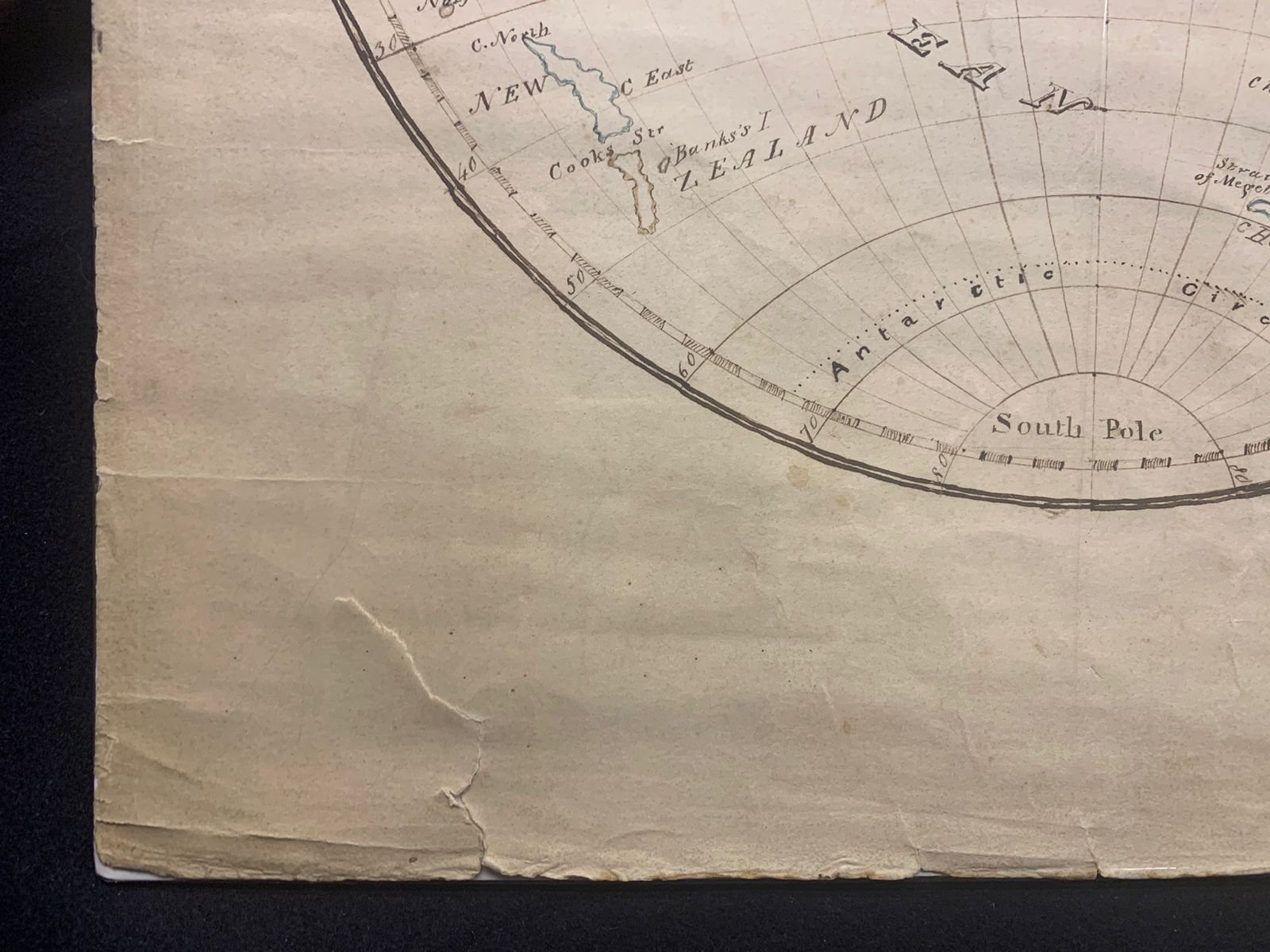
Victorian Geographical Penmanship: During the 1850s, drafting maps by hand was an essential element of advanced educational penmanship and geography instruction in Britain and its colonies, designed to teach draughtsmanship, copperplate lettering, and global trade geography.