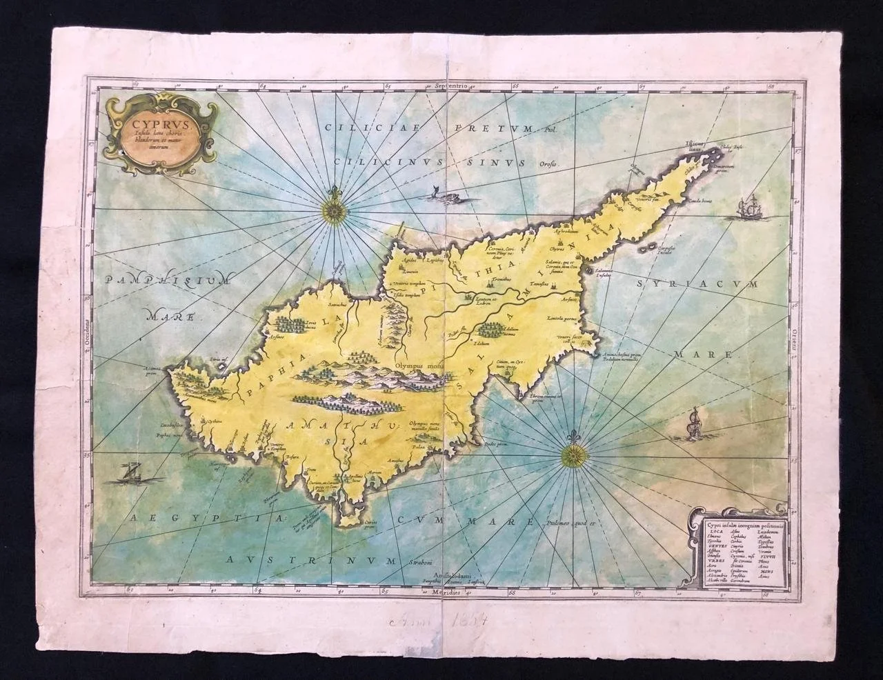
Decorative Map of Cyprus
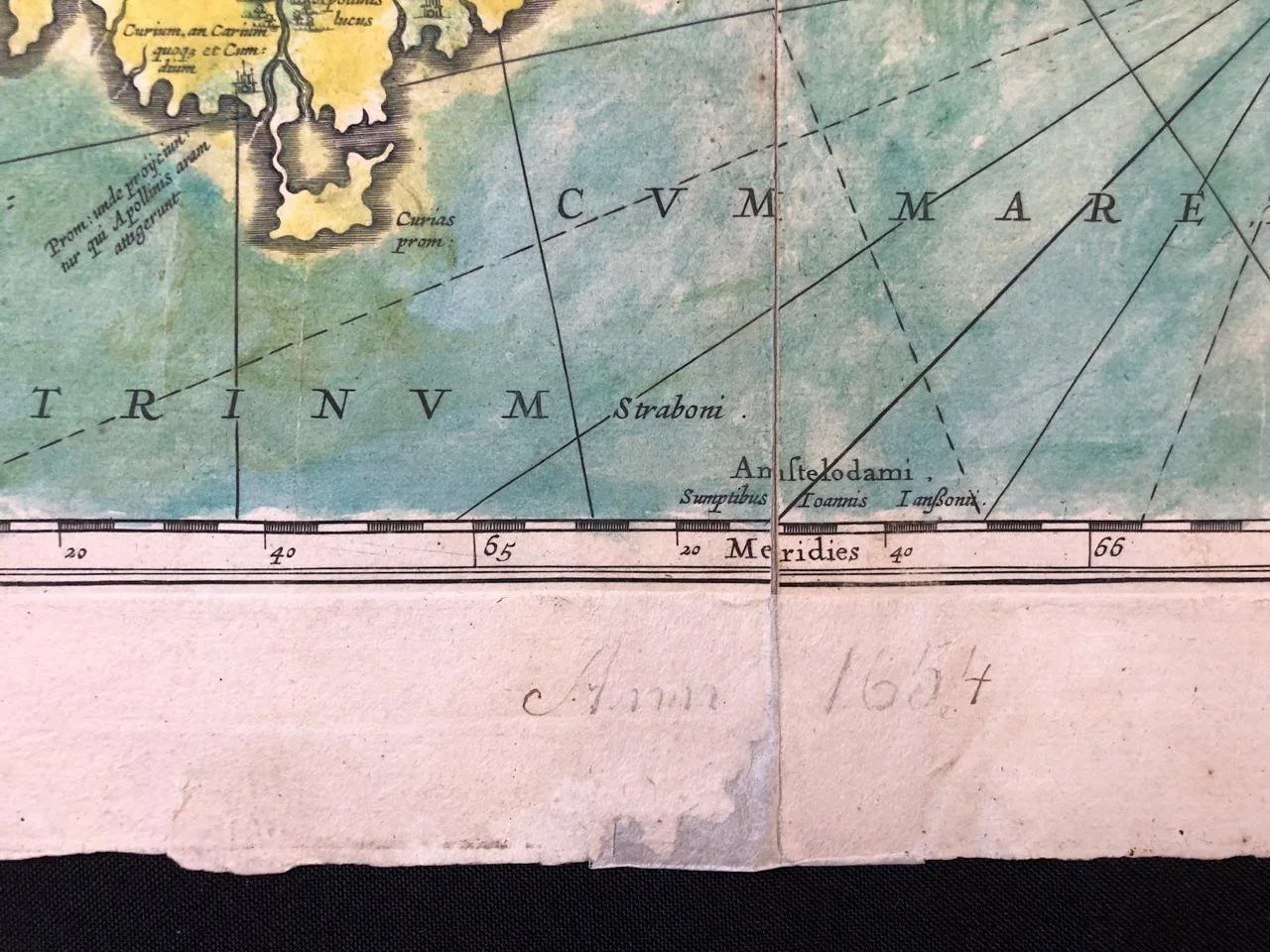
c. 1650. Hand coloured copperplate engraving.
By Jan Jansson.
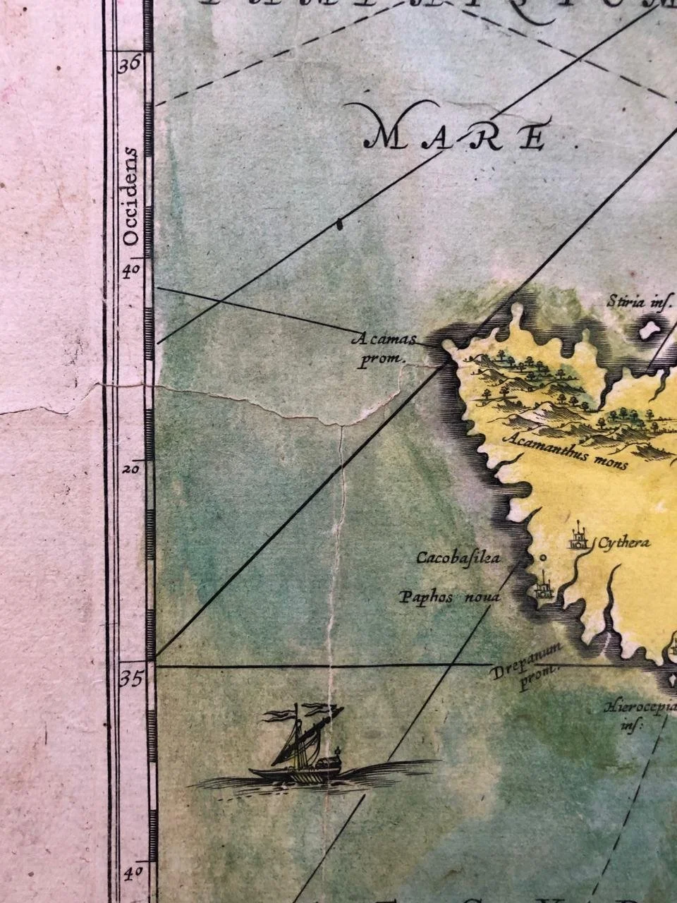
Includes two cartouches, sailing ships, sea monster, compass roses and rhumb lines. Locates Mount Olympus, home of the Greek pantheon, numerous cities, etc.
The geographic coordinates have been adapted from the Roman geographer Ptolemy. The seas in each direction are named separately, some with two names. Several ships patrol the open water, while rhumb lines radiate from two compass roses on this north-oriented map. A lone sea monster surfaces north of the island.
On the island, settlements are marked with either a single or a double building symbol. These settlements are focused on the coastal areas, with only a few farther inland to the northeast. Several mountain ranges are marked, with the largest being the range at the centre of the island. This range includes Mount Olympus, the highest point on the island. Elsewhere, groves of trees hint at the wooded-nature of the island.
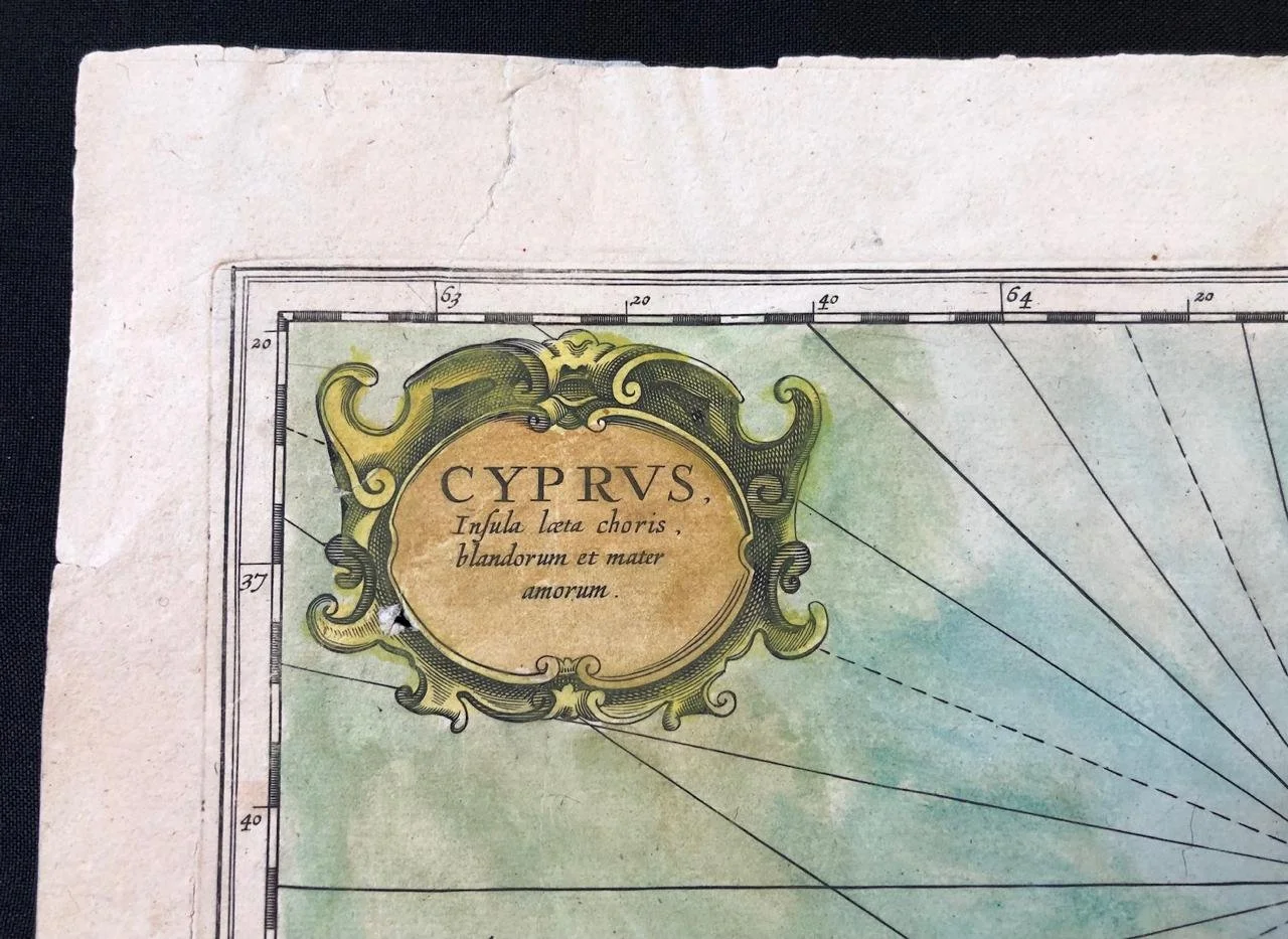
In the upper left corner is a title cartouche. A decorative frame exclaims, "Cyprus. Insula laeta choris blandorum et mater amorum." This roughly translates to, "Cyprus, the island of happy dancing and motherly love." In the bottom right corner is another cartouche, this one containing a list of place names. These are settlements and geographic features of unknown location, but which were mentioned by the Greek and Roman geographers consulted in the making of this map.
Extensively repaired. Visible tears.
530mm x 415mm
R4,500