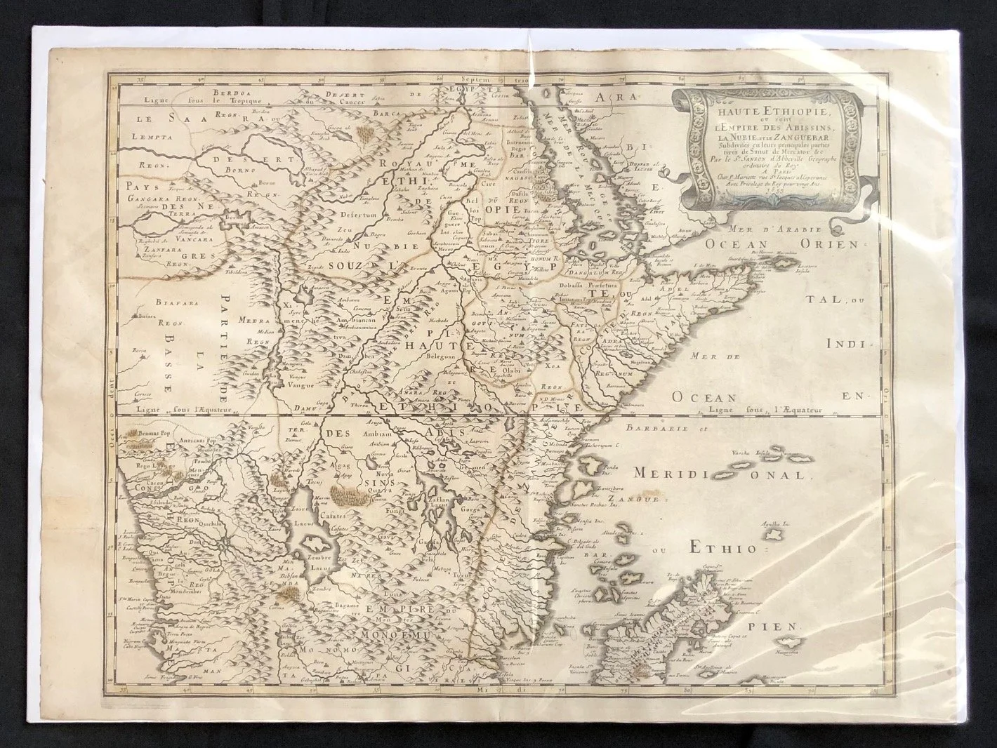
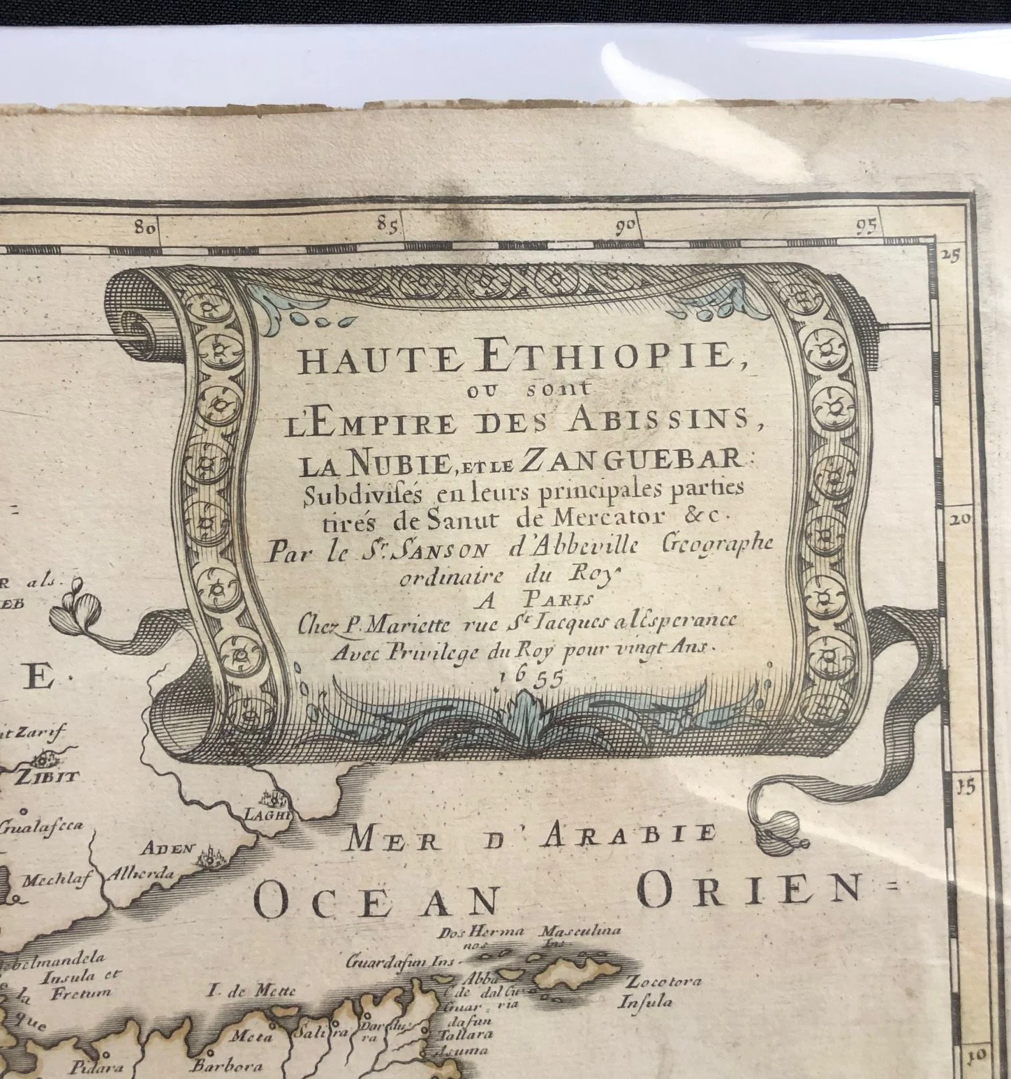
Map of North East Africa c.1655
Hand coloured copperplate engraving by Nicolas Sanson (1600-1667) a French cartographer who served under two kings in matters of geography. He has been called the "father of French cartography."
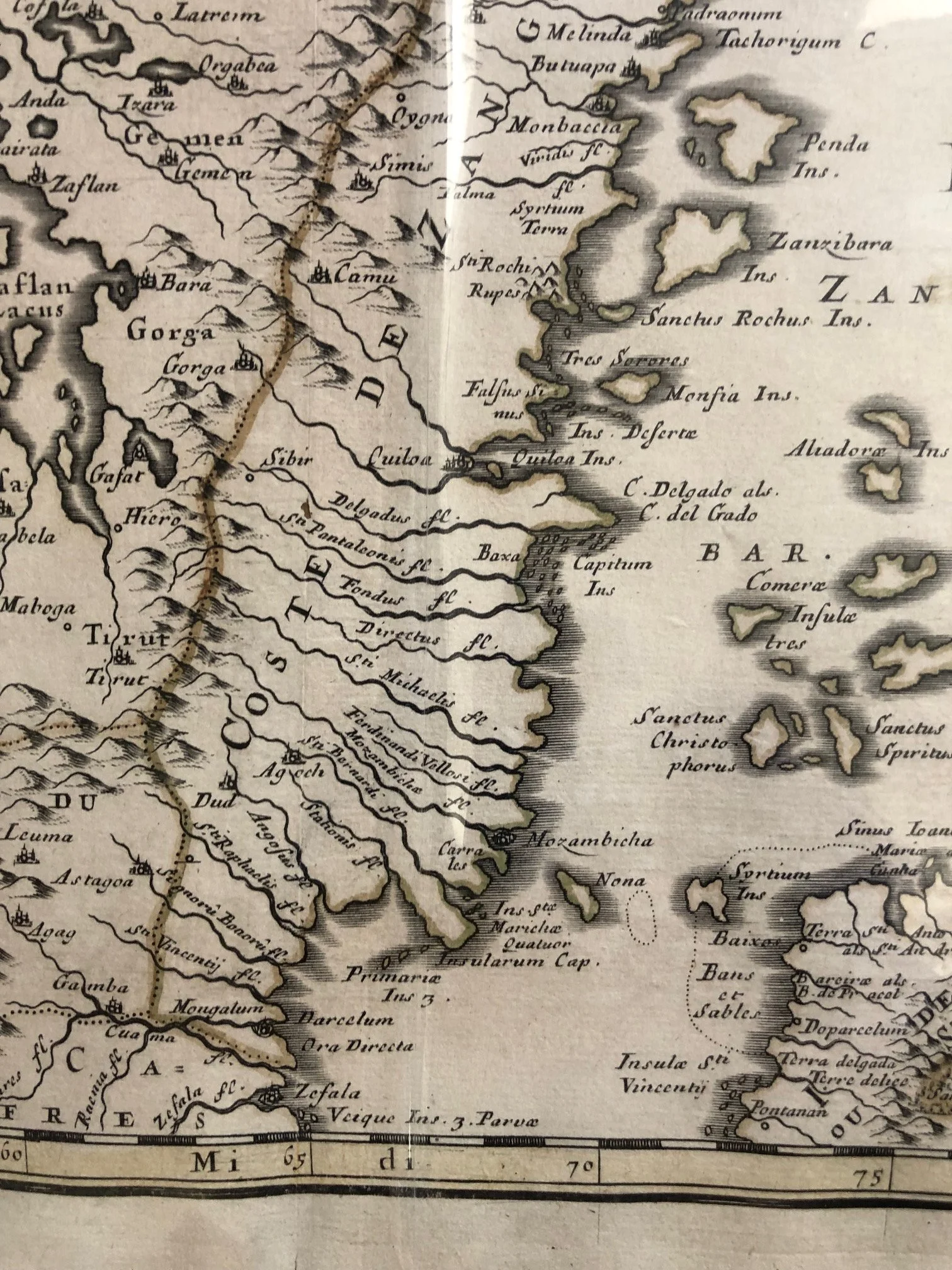
This map shows the regions of Ethiopia, Nubia, and Zanguebar, which in the 18th century comprised the coast of East Africa from the Red Sea to the Eastern Cape. A number of islands in the Indian Ocean are included. Mountains, forests, and major cities are depicted pictorially.
Partial restoration. Peripheral tears and creasing.
580mm x 430mm
R3,500