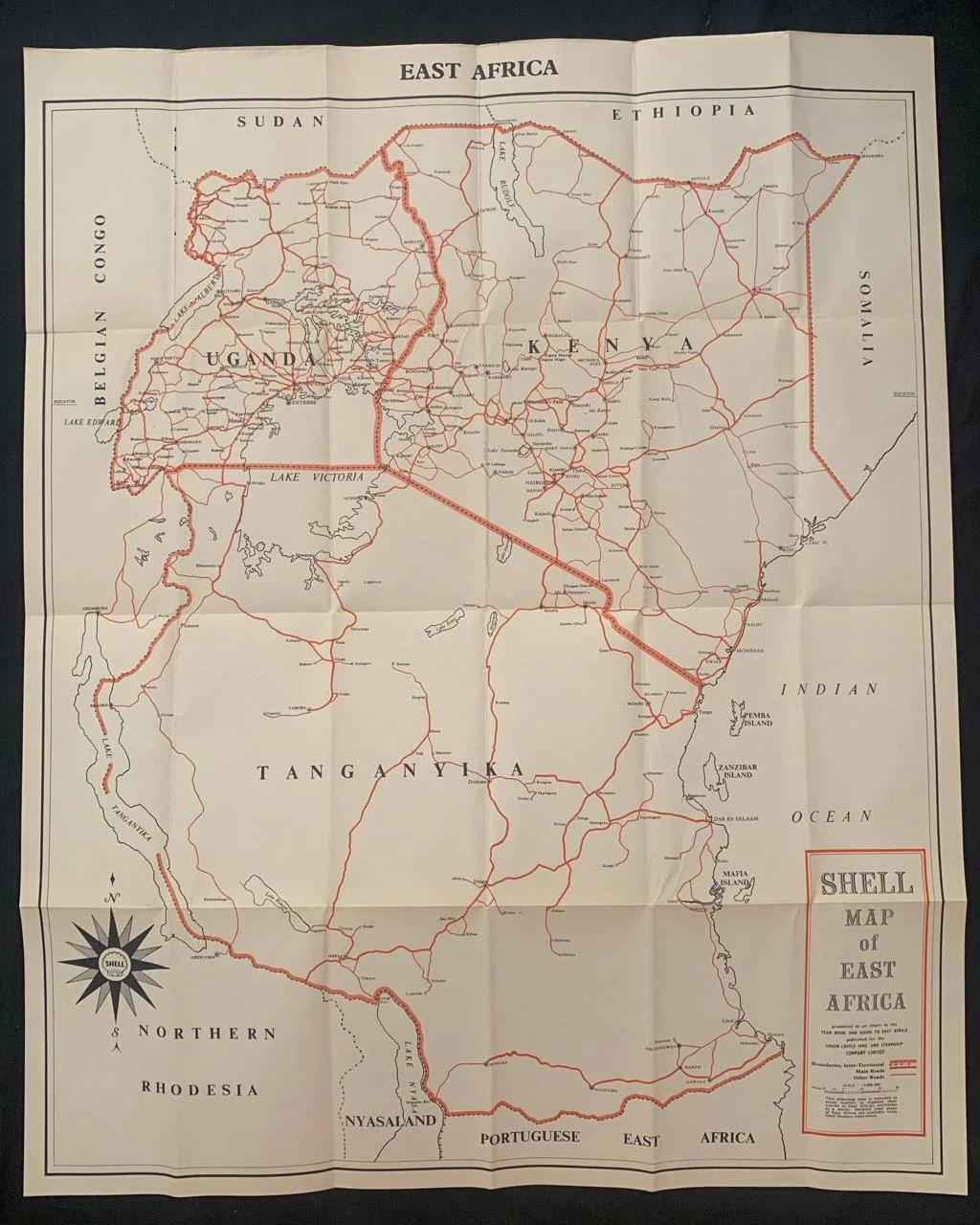
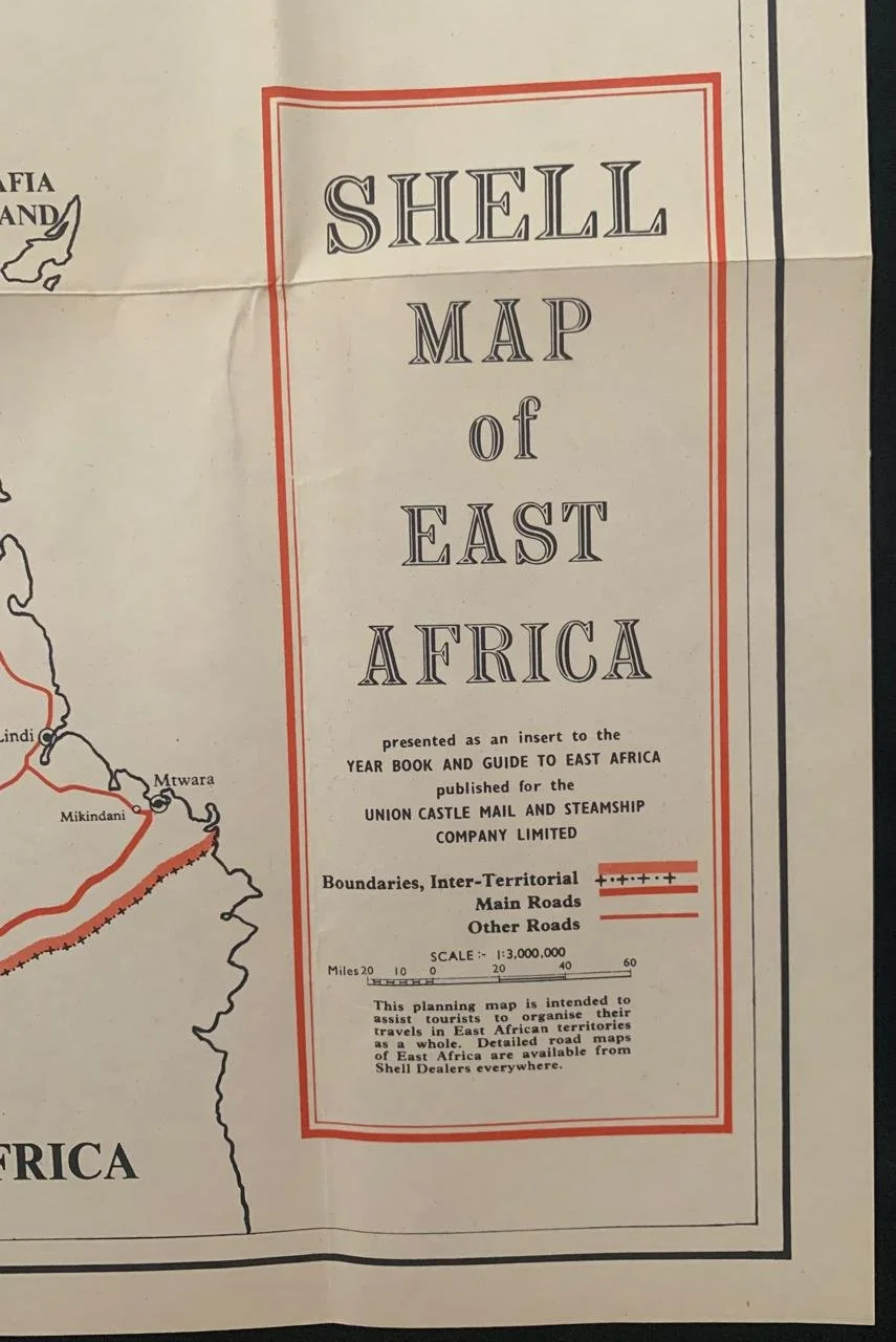
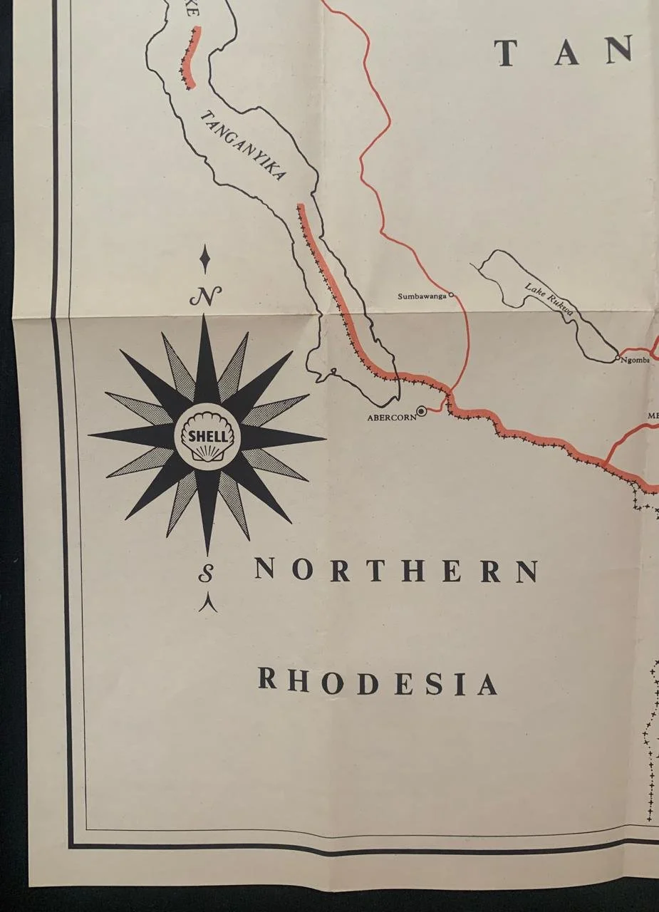
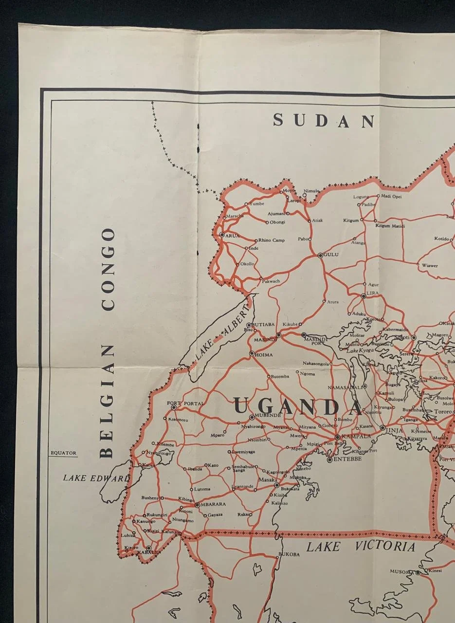
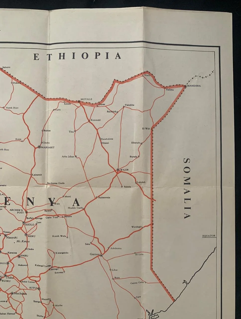
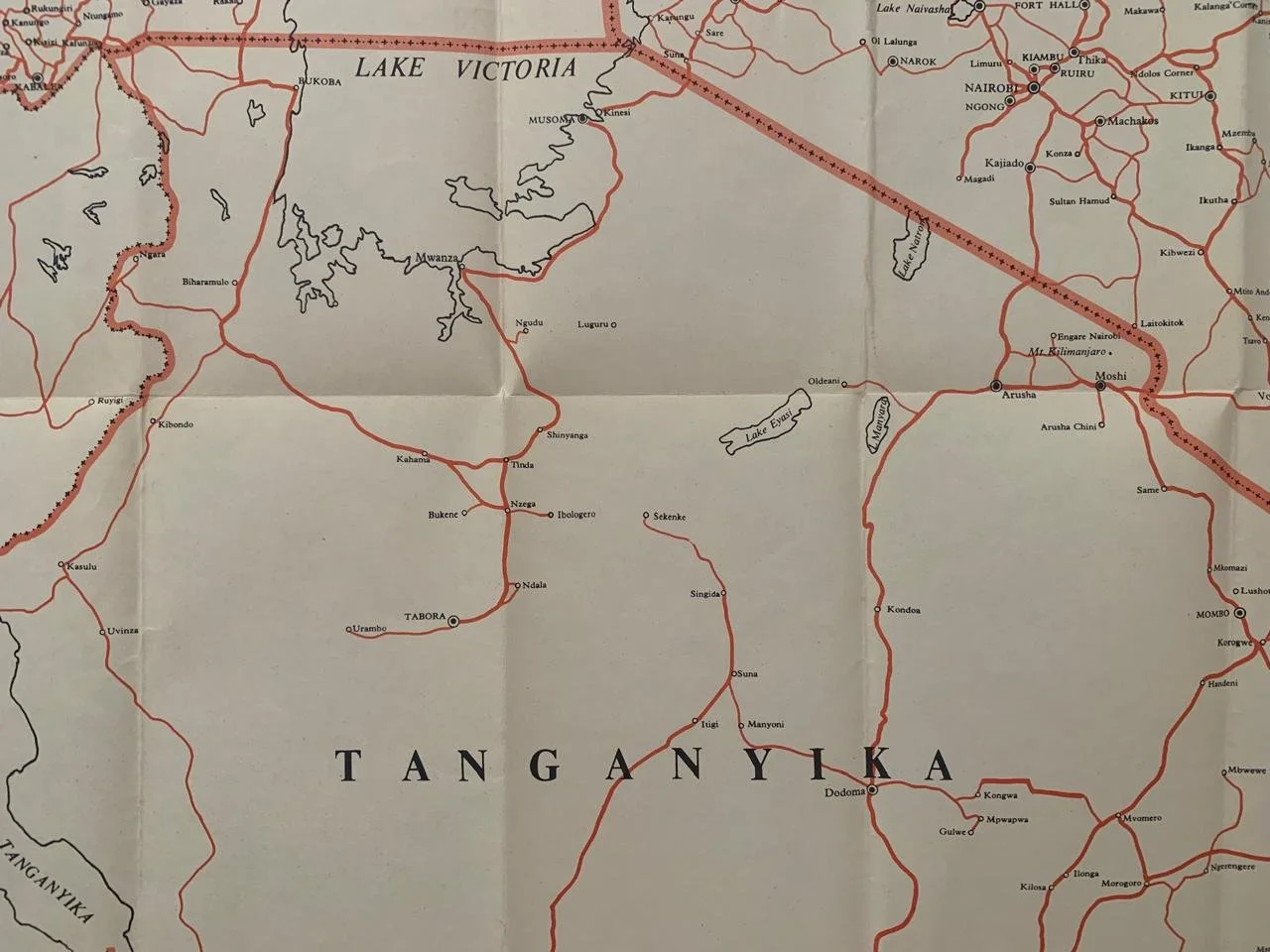
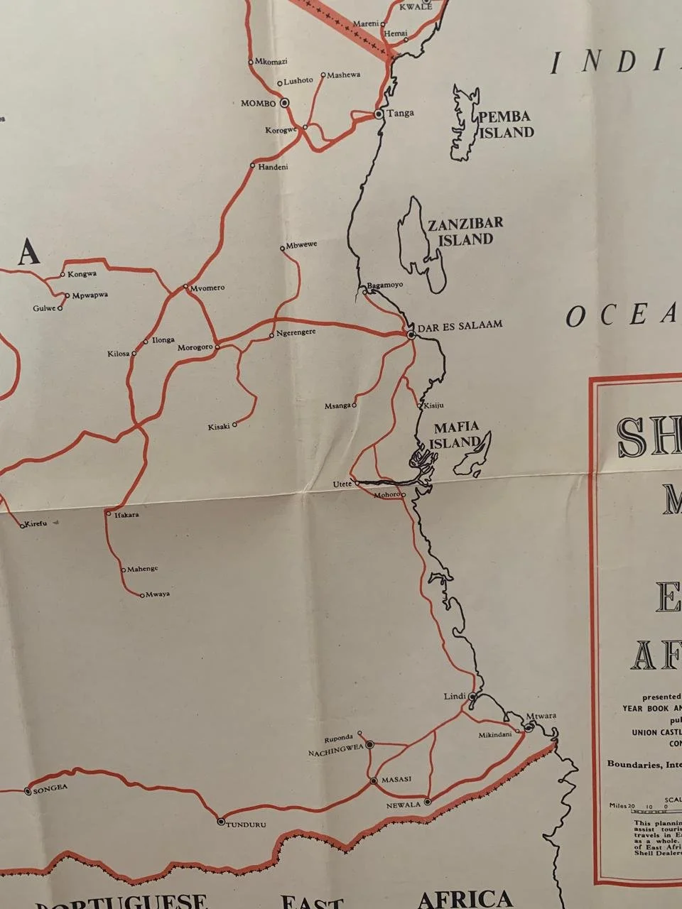
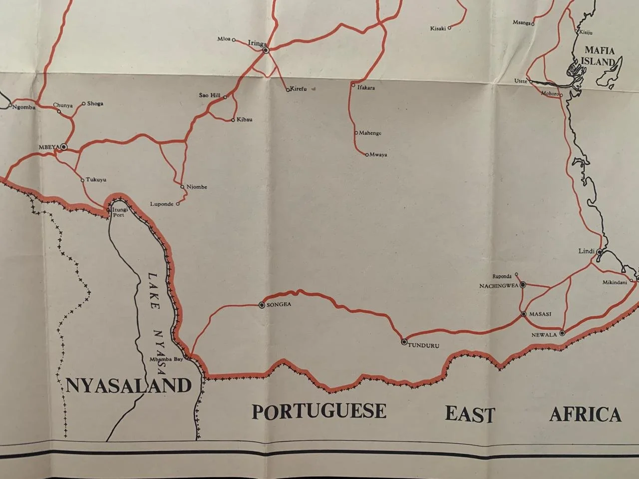
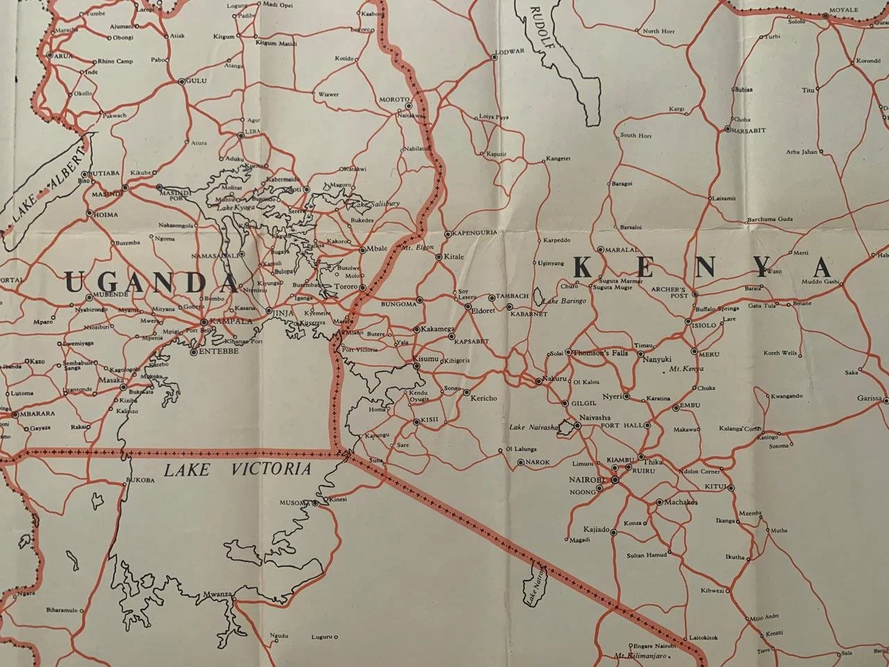
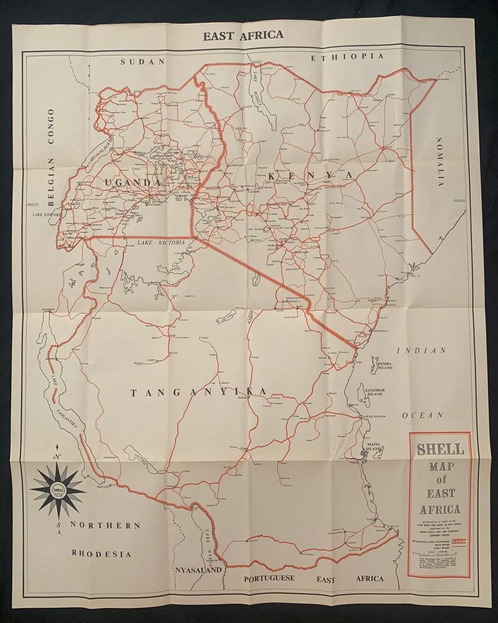
Shell Map of East Africa (1959)
Presented as an insert to the Year Book and Guide to East Africa published for the Union Castle Mail and Steamship Company Limited
The Year Book and Guide to East Africa served as a comprehensive manual for tourists, settlers, and business travellers across territories such as Kenya, Uganda, Tanganyika, Zanzibar, and Portuguese East Africa.
The Union-Castle Line operated mail and passenger steamship services linking Great Britain and South/East Africa, frequently featuring specialized corporate or oil-company maps (such as Shell-branded road and general reference maps) as inserts to aid motorists and travellers on the ground.
Maps from this period typically detail trunk roads, railways, administrative boundaries, major towns, and geographical landmarks across British East Africa and neighbouring regions just prior to the major independence movements of the 1960s.
550mm x 690mm
R1,500