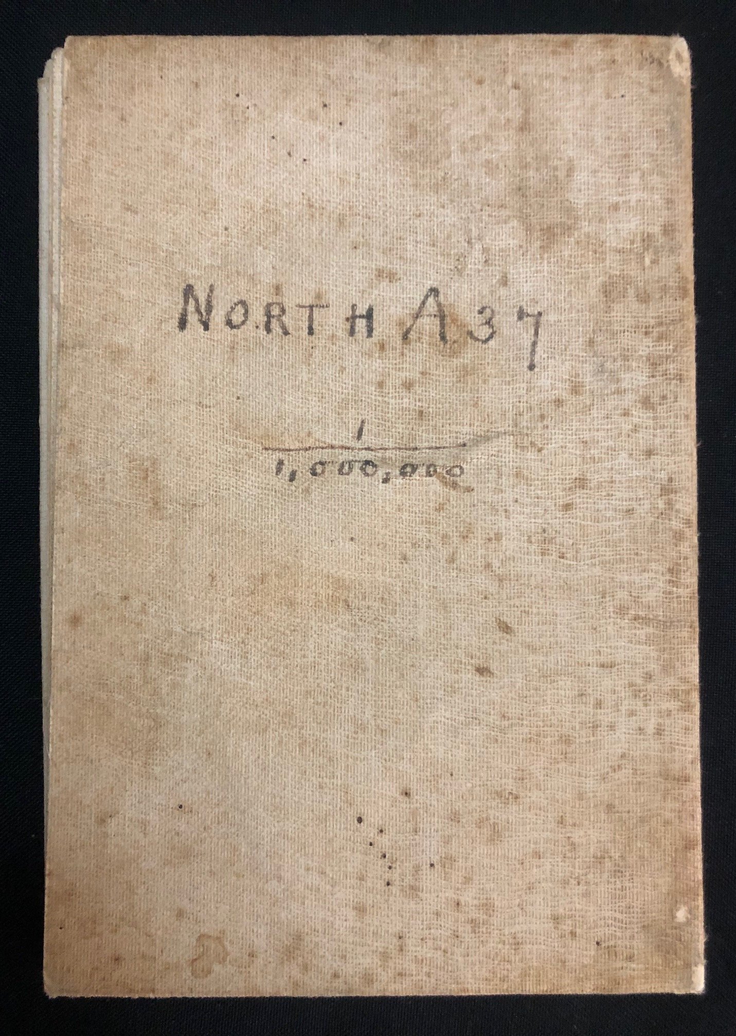
East African Campaign of World War I -Northern Region (modern day Kenya) c.1917
Northern part of the WWl campaign.
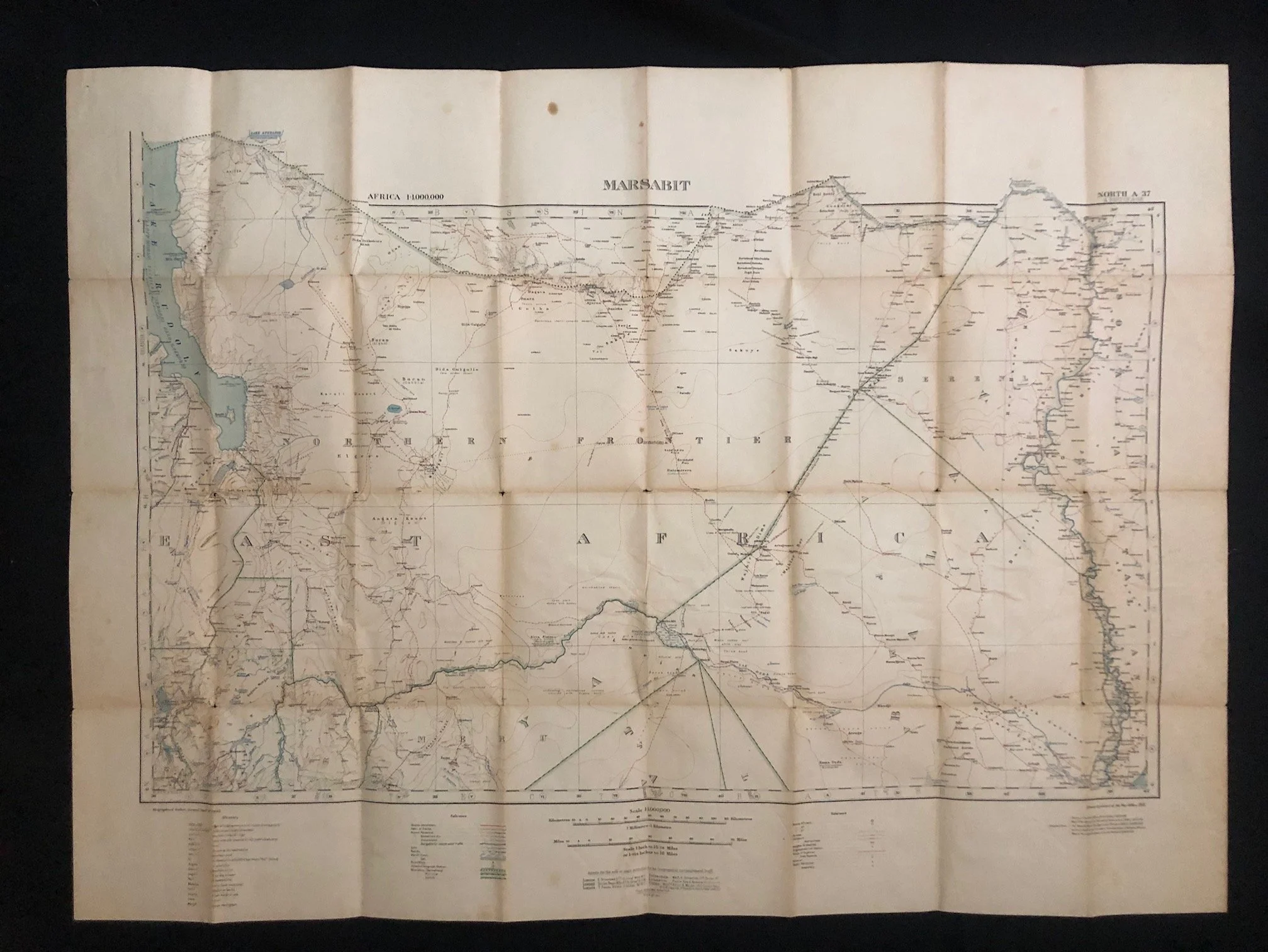
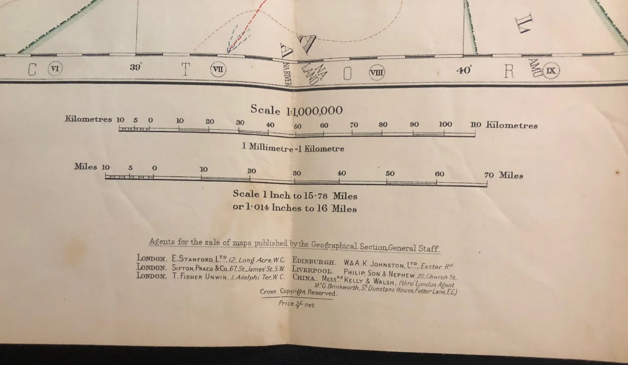
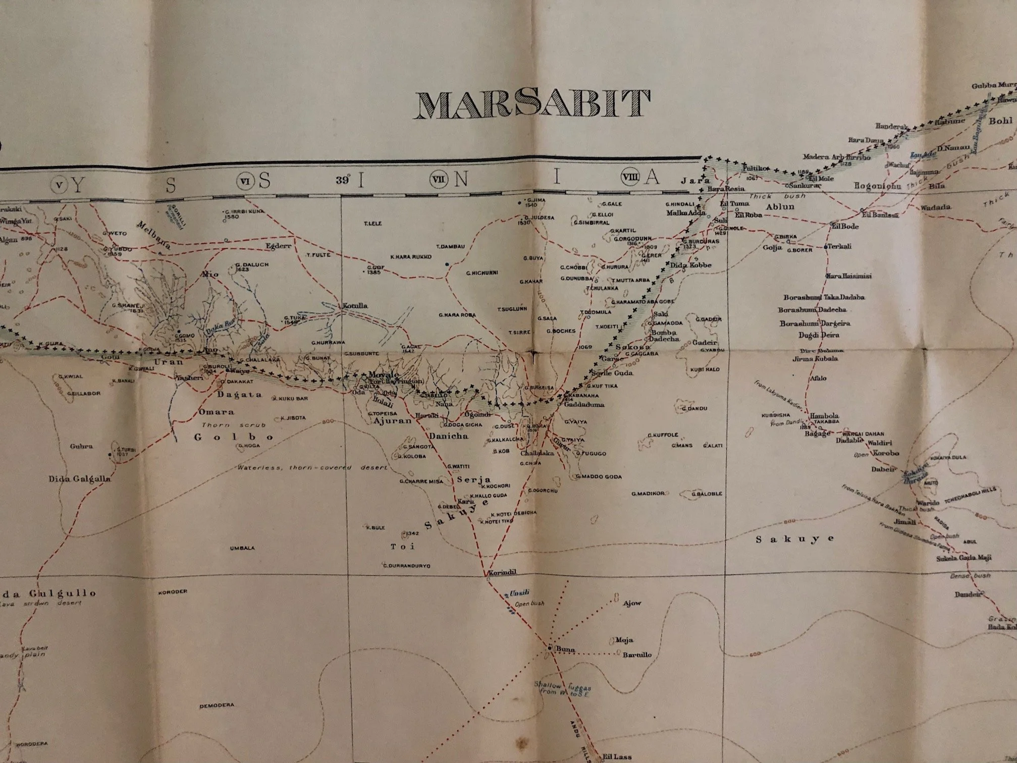
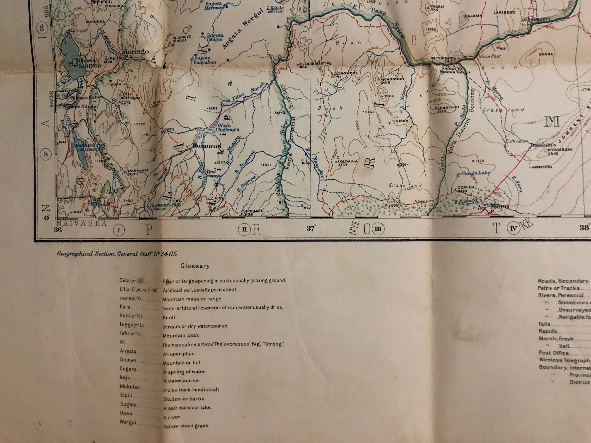
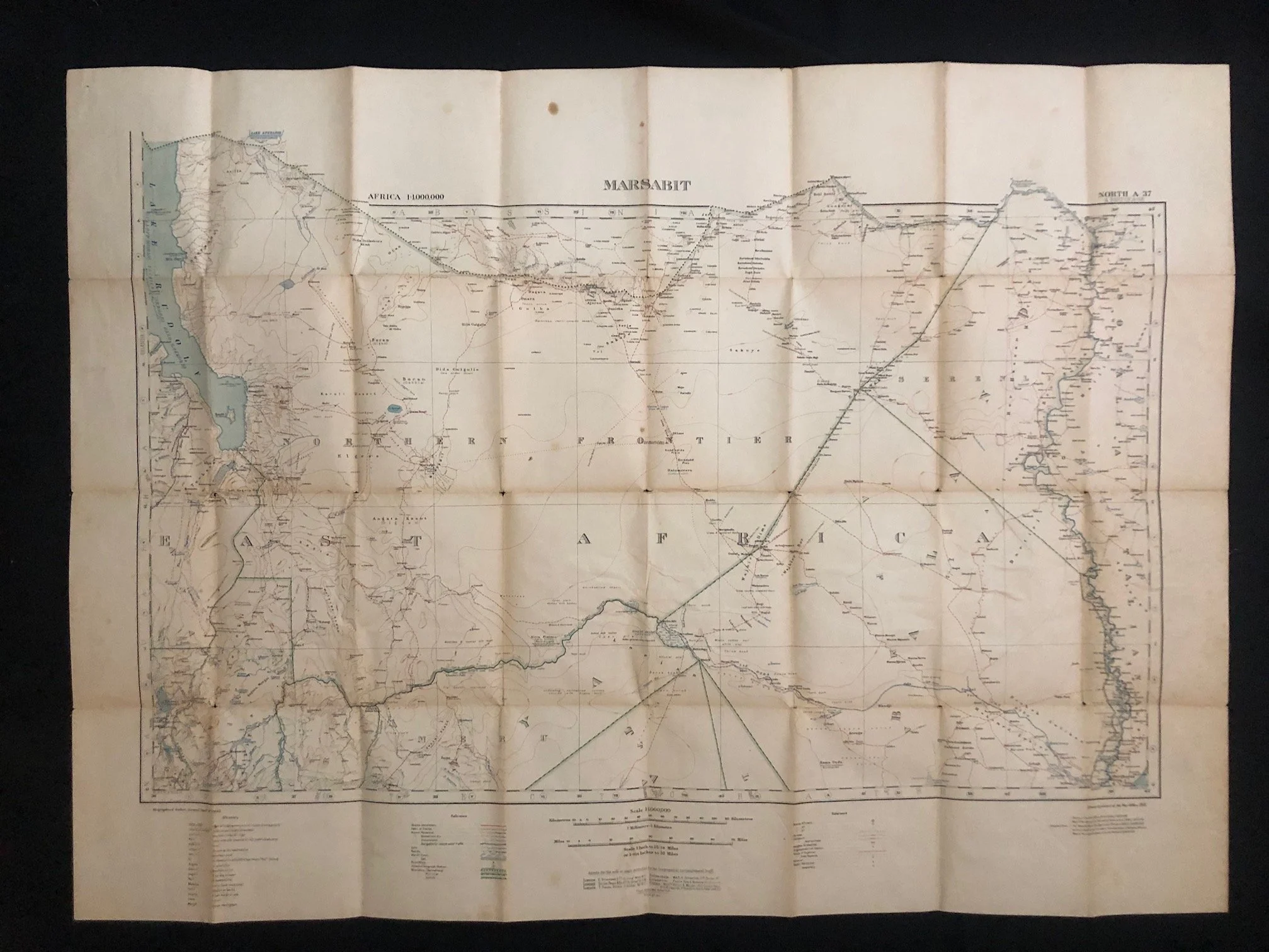
Titled "Marsabit" (Index North A-37), this is a 1:1,000,000 scale map produced by the British War Office (GSGS 2465), dating around the late 1910s to the 1920s.
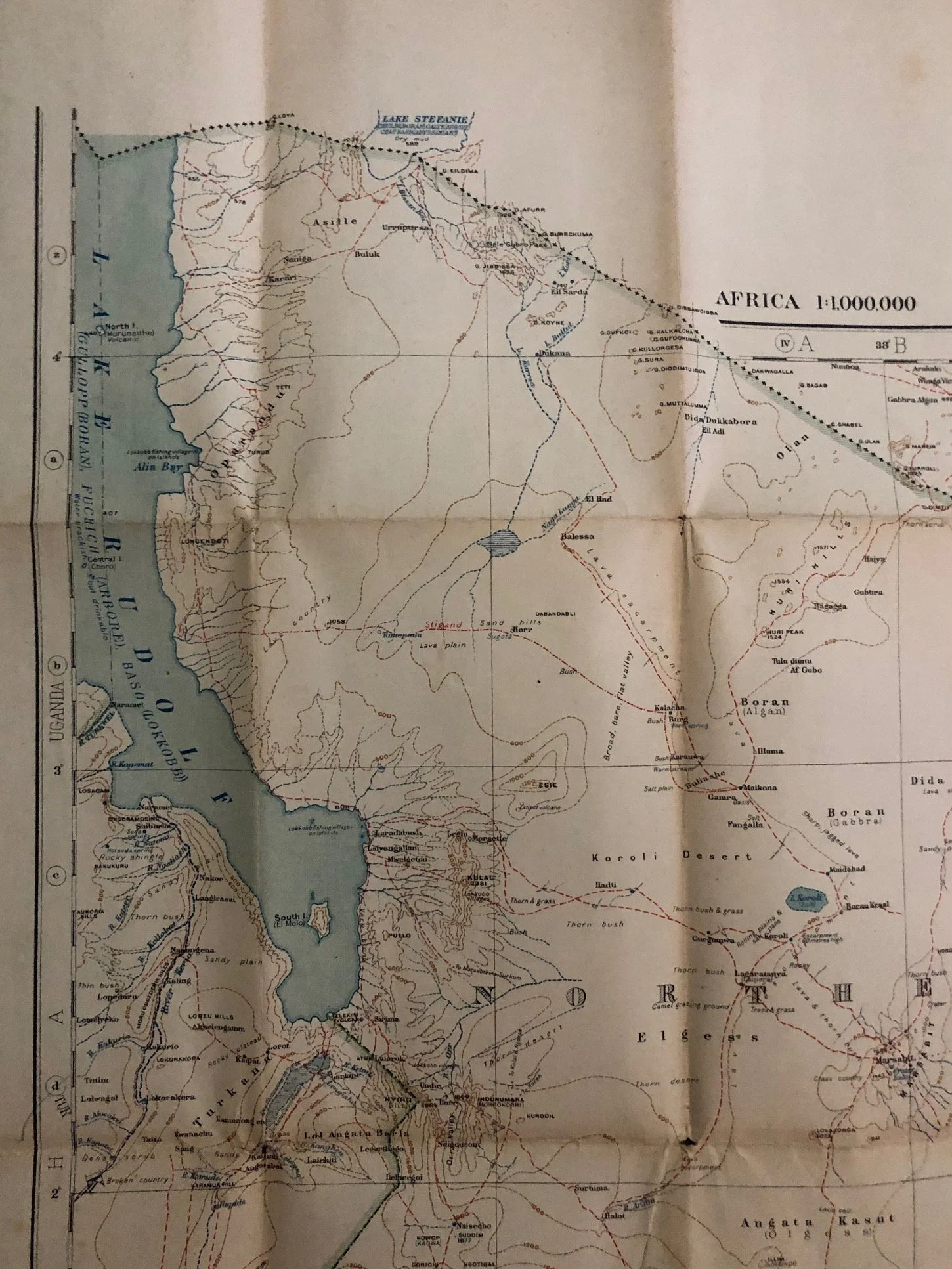
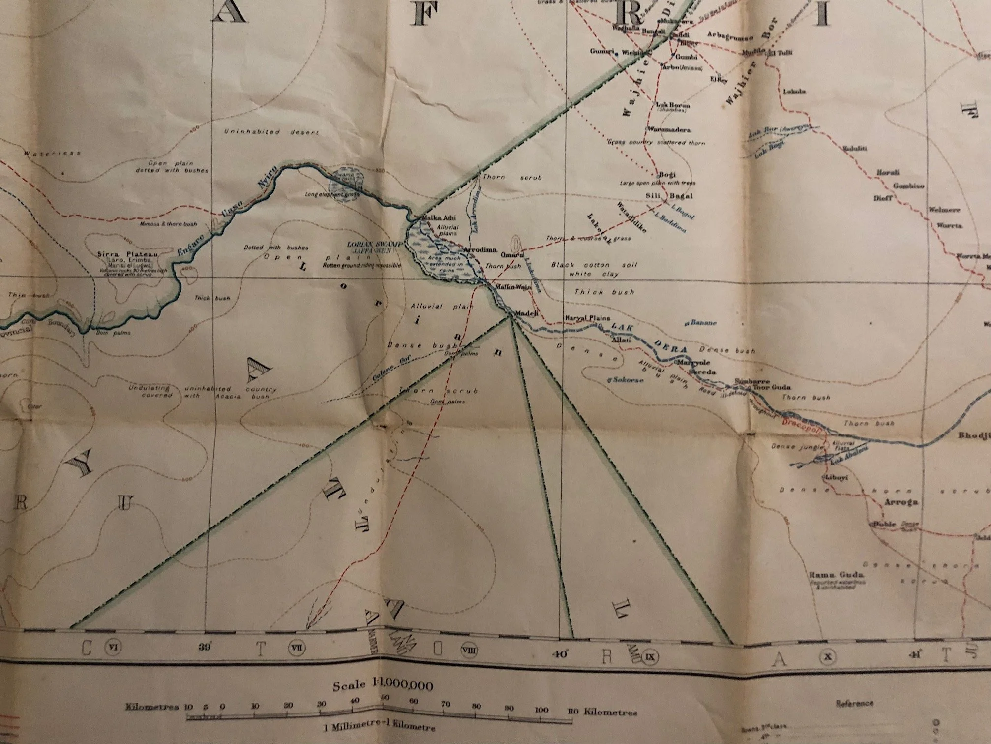
Rather than a dense tactical grid for immediate combat, this map captures the vast, intimidating expanses of the Northern Frontier District (NFD) of Kenya (East Africa Protectorate), stretching up to the southern border of Abyssinia (Ethiopia) and featuring Lake Rudolf (now Lake Turkana) boldly on the left.
The Oasis in the "Desert Wall"
Marsabit itself is a geological anomaly that holds a mythical status in East African exploration. The surrounding terrain is the Chalbi Desert and the volcanic, boulder-strewn Kaisut Desert: a blistering, arid wasteland that acted as a natural barrier between the fertile Kenyan highlands and Ethiopia.
Emerging directly out of this desert is Mount Marsabit, a massive, forested basaltic extinct volcano.
Because its high altitude trapped moisture, Marsabit was a lush, mist-shrouded mountain oasis featuring deep crater lakes (like Lake Paradise) completely surrounded by scorched desert.
For nomadic pastoralists (such as the Rendille and Borana), early explorers, and big-game hunters, finding Marsabit on a map was quite literally a matter of life or death; it was the only reliable source of water and shade for hundreds of miles.
The Lawless Frontier and Abyssinian Raider Trails
Note where the boundary line meets "Abyssinia." Throughout the late 19th and early 20th centuries, this border was largely a fiction.
The British struggled desperately to police this massive sector. It was heavily trafficked by ivory poachers, gunrunners, and heavily armed Abyssinian raiders (often called shifta) who routinely swept south across the border into British territory to raid cattle and capture slaves from the local tribes.
The British established a remote outpost at Marsabit in 1909 under the district commissioner Gerard Reece to try to project colonial law over this vast expanse. Maps like this one were crucial for the small camel-mounted units of the King's African Rifles (KAR) who patrolled these isolated waterholes to intercept raiders.
The "Lake Paradise" Era of Early Wildlife Conservation
Shortly after maps like this were drafted to establish colonial administration, the Marsabit region became a focal point for early global media and conservation.
In the 1920s, the famous American filmmakers and explorers Martin and Osa Johnson braved the brutal trails mapped on this sheet to establish a semi-permanent camp at Marsabit’s Lake Paradise.
They spent years here capturing the very first high-quality motion pictures of untouched African wildlife—particularly the region's famously massive "hundred-pounder" tusker elephants—bringing the stunning, remote geography captured on this paper sheet to theatre screens across the Western world.
The region is now Marsabit National Park, a remote 1,550-square-kilometer wildlife oasis in northern Kenya, located about 560 km north of Nairobi. It is famous for its lush, mist-shrouded mountain forests, spectacular volcanic crater lakes (such as Lake Paradise), and legendary herds of large-tusked bull elephants.
Linen backed map, wear and minor stains on the outside.
820mm x 725mm
R3,000