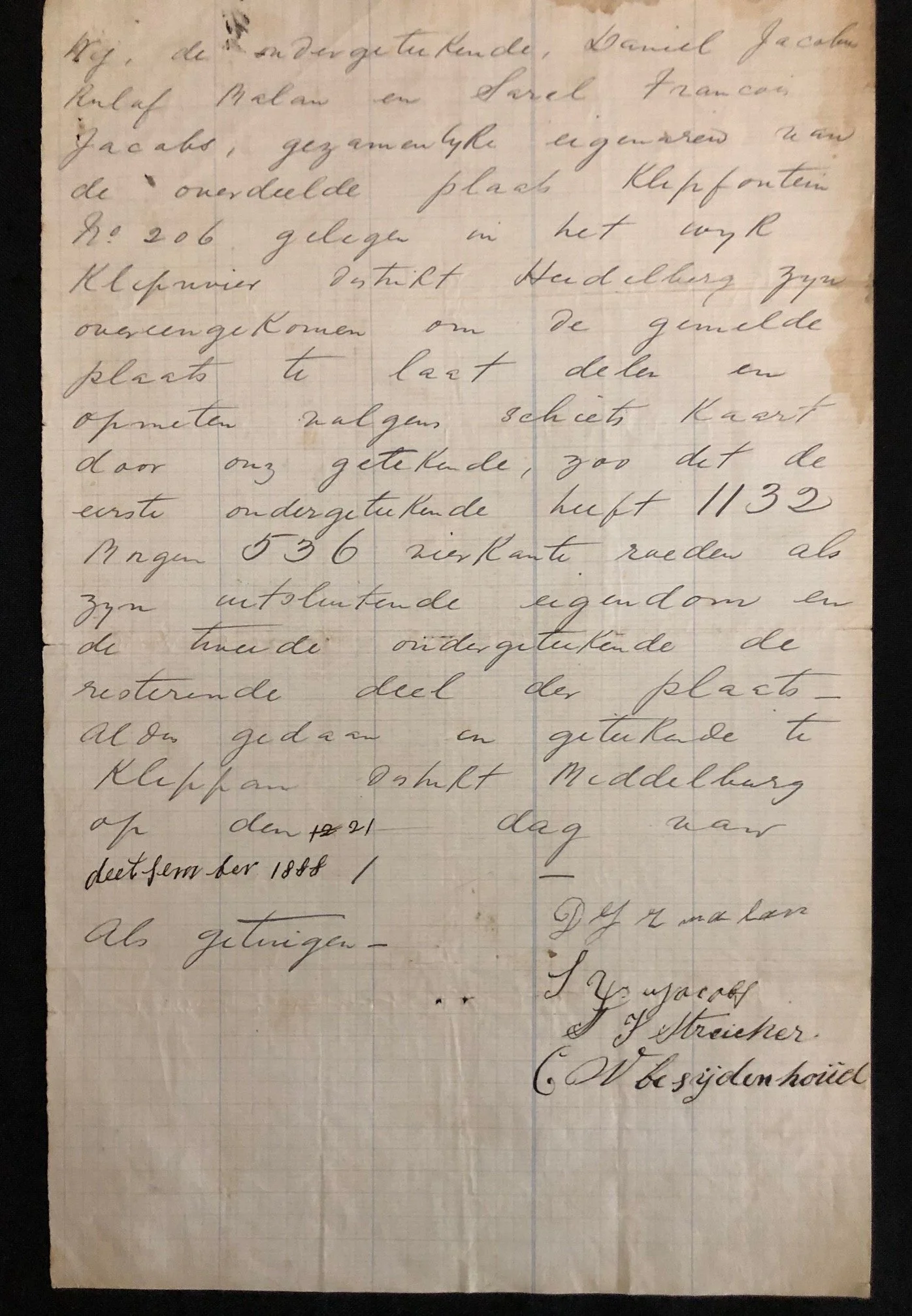
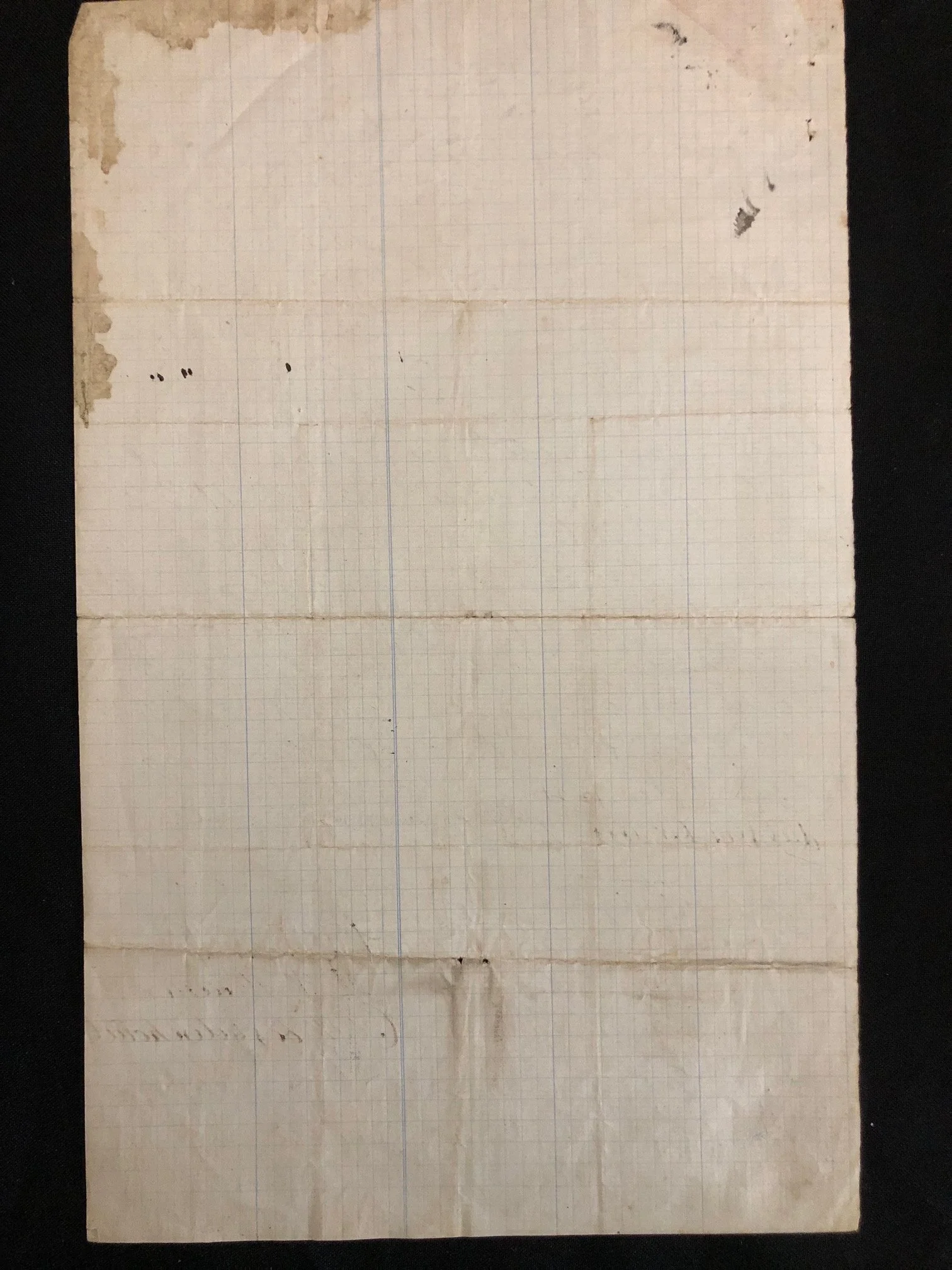
Document regarding the dividing of the farm Klipfontein in the district of Heidelberg (1888).
An 1888 land-partition agreement written in Hollands (Old Dutch), the official written language of the Boer Republics at the time.
Document Transcription & Translation
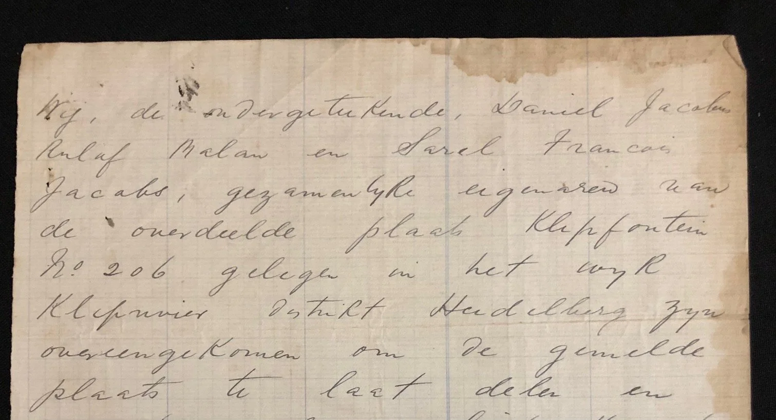
Wij, de ondergetekende, Daniel Jacobus Roelof Malan en Sarel Francois Jacobs, gezamentlyke eigenaren van de onverdeelde plaats Klipfontein No 206 gelegen in het wijk Kliprivier Distrikt Heidelberg zyn overengekomen om de gemelde plaats te laat delen en opmeten volgens schets kaart door ons getekende, zoo dat de eerste ondergetekende heeft 1132 Morgen 536 vierkante roeden als zyn uitsluitende eigendom en de tweede ondergetekende de resterende deel der plaats—
Aldus gedaan en getekende te Klippan Distrikt Middelburg op den 21 dag van December 1888 /
Als getuigen—
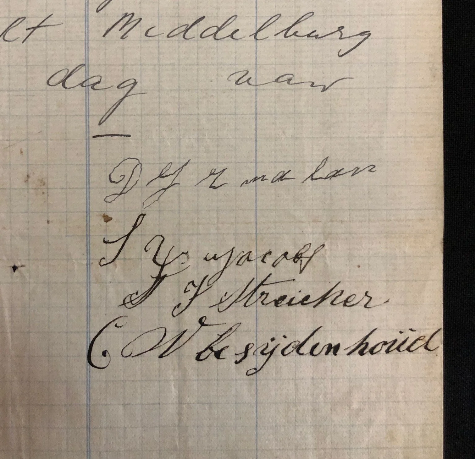
[Signatures on the right]
English Translation:
We, the undersigned, Daniel Jacobus Roelof Malan and Sarel Francois Jacobs, joint owners of the undivided farm Klipfontein No. 206, situated in the ward Kliprivier, District of Heidelberg, have agreed to have the mentioned farm divided and surveyed according to a sketch map signed by us, so that the first undersigned has 1132 Morgen and 536 square roods as his exclusive property, and the second undersigned the remaining part of the farm.
Thus done and signed at Klippan, District of Middelburg, on the 21st day of December 1888.
As witnesses—
D.J.R. Malan (Principal Signatory)
S.F. Jacobs (Principal Signatory)
J.F. Streicher (Witness)
C.W. Bezuidenhout (Witness)
The Historical Setting: The South African Republic (ZAR)
In December 1888, this region was part of the independent Boer state known as the Zuid-Afrikaansche Republiek (ZAR) or the Transvaal Republic, under the presidency of Paul Kruger.
The mention of the Heidelberg District is highly significant. Just two years prior, in 1886, gold was discovered on the Witwatersrand. Heidelberg was the nearest major administrative capital to the goldfields before Johannesburg rapidly expanded. Property transactions in this district during the late 1880s were happening in the middle of a massive economic boom and land rush.
Old Measurement Units: Morgen and Roods
The document uses the old Cape/Dutch land measurement system, which was standard in South Africa until metrication in the 20th century:
Morgen: 1 Morgen is roughly 2.1 acres or 0.85 hectares.
Rood (Roede): A unit of length/area. A square rood is about 14.2 square meters.
The Scale: Daniel Malan's share alone was 1,132 Morgen, which equates to roughly 2,400 acres (or 960 hectares). This tells us we are dealing with a massive, typical old-Transvaal farm layout that was being split up among families or business partners.
Family History (Genealogy)
The surnames listed on this page are prominent, historic Afrikaner/Boer families:
Malan and Jacobs: The two owners splitting the land.
Bezuidenhout: One of the witnesses is a Bezuidenhout, a highly influential surname in early Transvaal history (the Bezuidenhout family originally owned large portions of the land that became Johannesburg, such as Bezuidenhout Valley).
The "Undivided Farm" Phenomenon
The document mentions splitting an "onverdeelde plaats" (undivided farm). In 19th-century Boer culture, when a patriarch died, his farm was often left to his sons jointly. Over generations, dozens of family members might technically own a fraction of a single farm without knowing exactly where their borders were. This document captures the exact moment two co-owners decided to legally and physically carve up the land so they could have exclusive ownership of their respective sections.
A beautiful artefact of pioneer land tenure. Drafted just 11 years before the outbreak of the Anglo-Boer War (1899–1902), a conflict that would result in the burning of many farm homesteads and the destruction of local records. The fact that this private agreement survived in such clear, legible condition makes it a wonderful piece of South African heritage.
Some stains, wear to the edges etc.
200mm x 325mm
R1,000