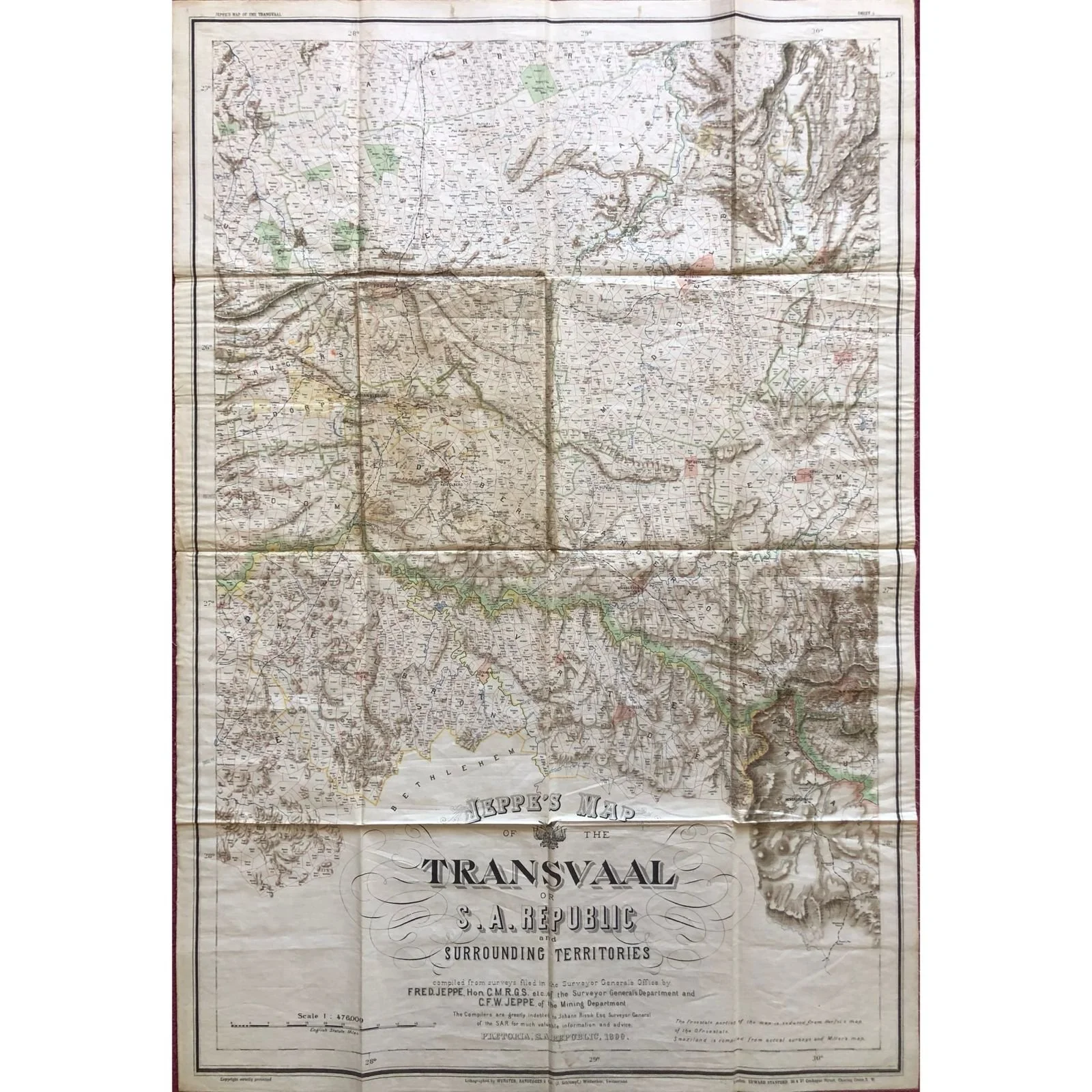
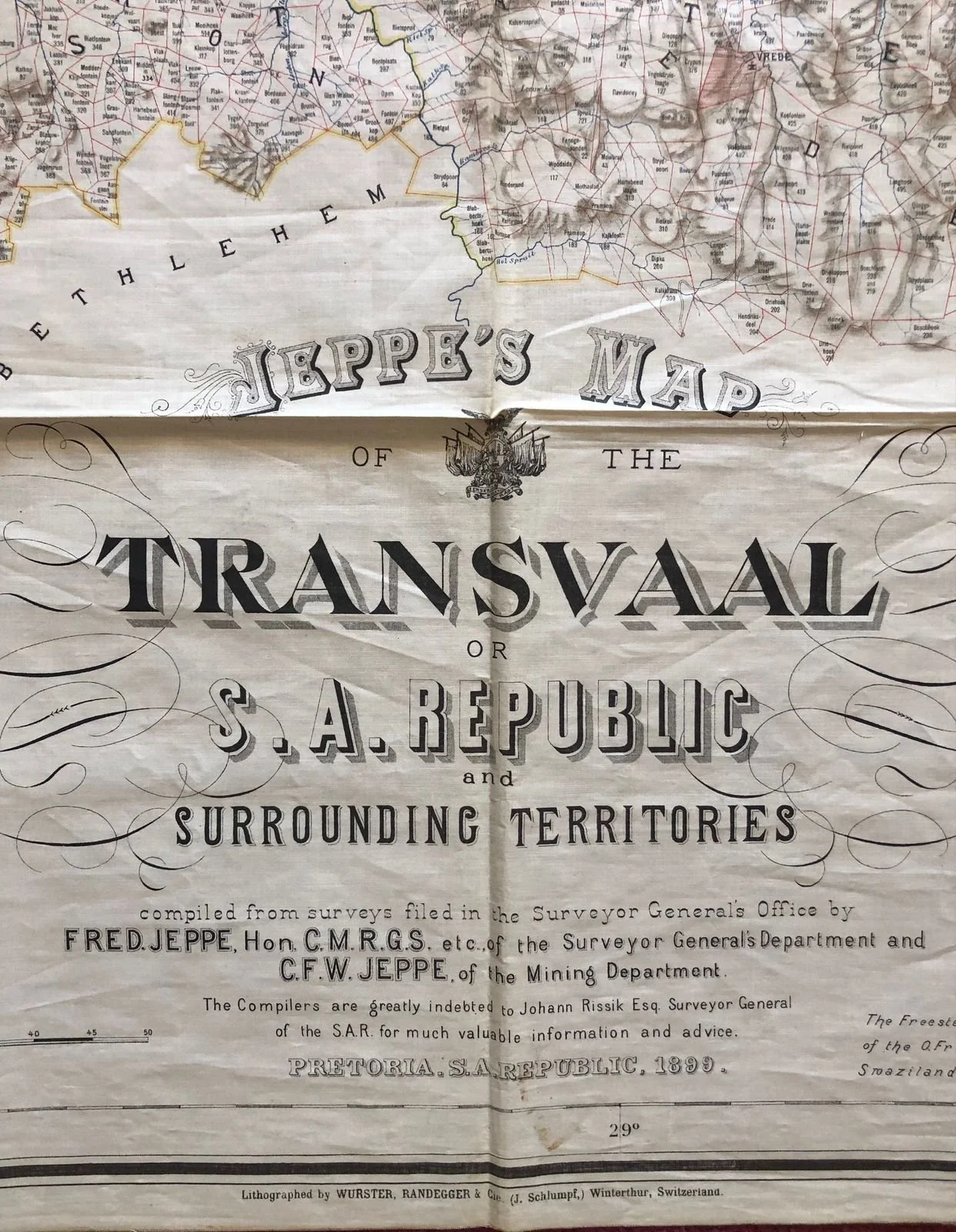
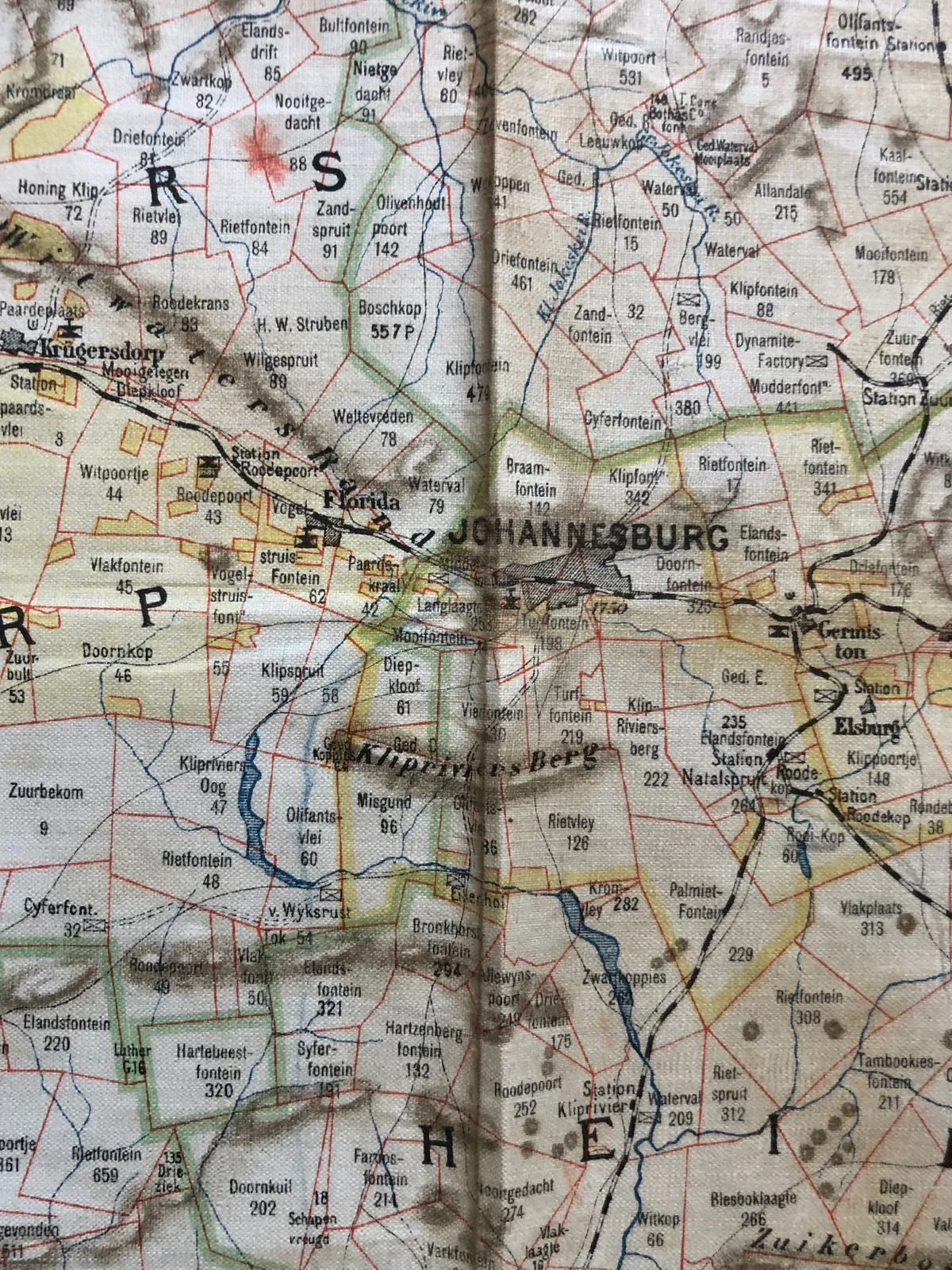
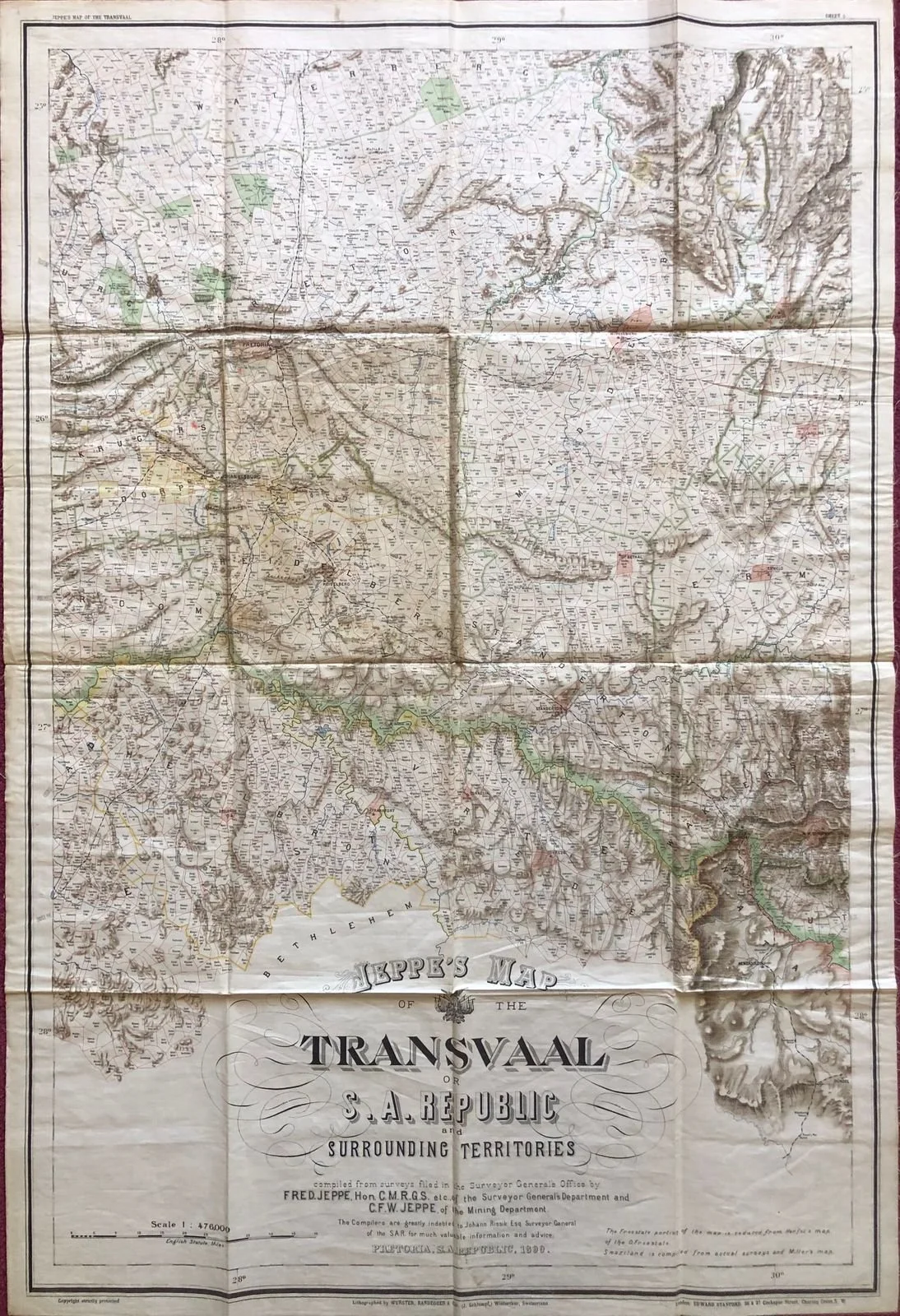
Jeppe's Map of the Transvaal
1899
Published in London.
Chromolithograph on Silk.
Sheet 5 of 6 sheets, published in the year of the start of the Boer War, Jeppe’s maps were used by both Boer and British forces.
The compilers were Judge Carl Jeppe (1858-1933) and Friedrich Jeppe (1833-98) no relation. C. Jeppe was a member of the diggers committee of Johannesburg, the conciliation Committee during the Jameson Raid. F. Jeppe was a postal pioneer (printing the ZAR’s first stamps) and publisher of the ‘Transvaal Argus’. While it is stated “Transvaal” this territory was known as the Zuid Afrikanse Republiek to the locals.
660mm x 980mm
R1,500