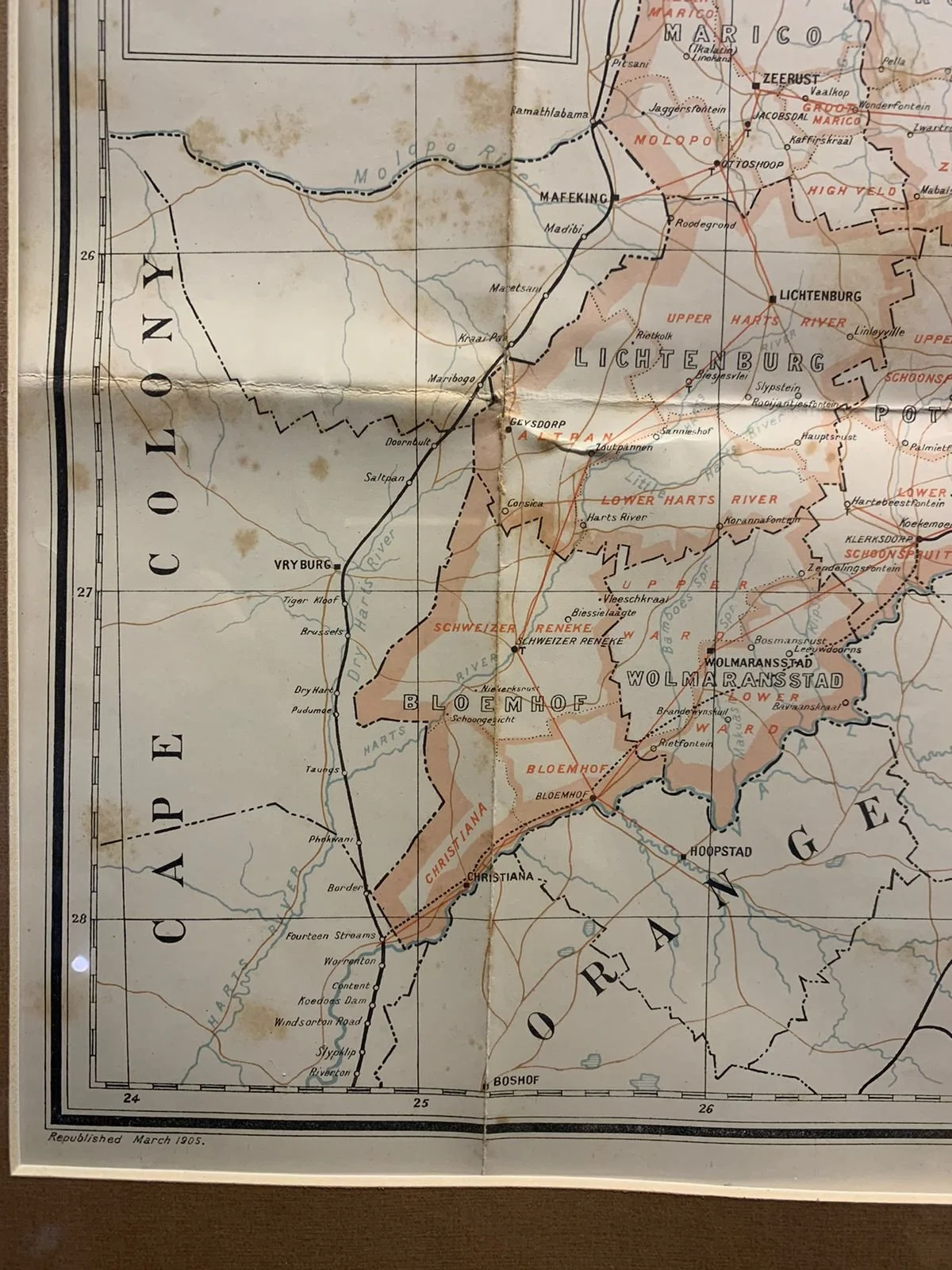
Map of the Transvaal Colony (1905)
Offset litho. Compiled by the Surveyor General’s Office.
This map depicts the time after the Boer War when the formerly known South African Republic was annexed by Britain and renamed “The Transvaal Colony”. This again changed in 1910 when South Africa became a Union.
Some offsetting, tears and foxing.
664mm x 572mm (framed)
R10,000