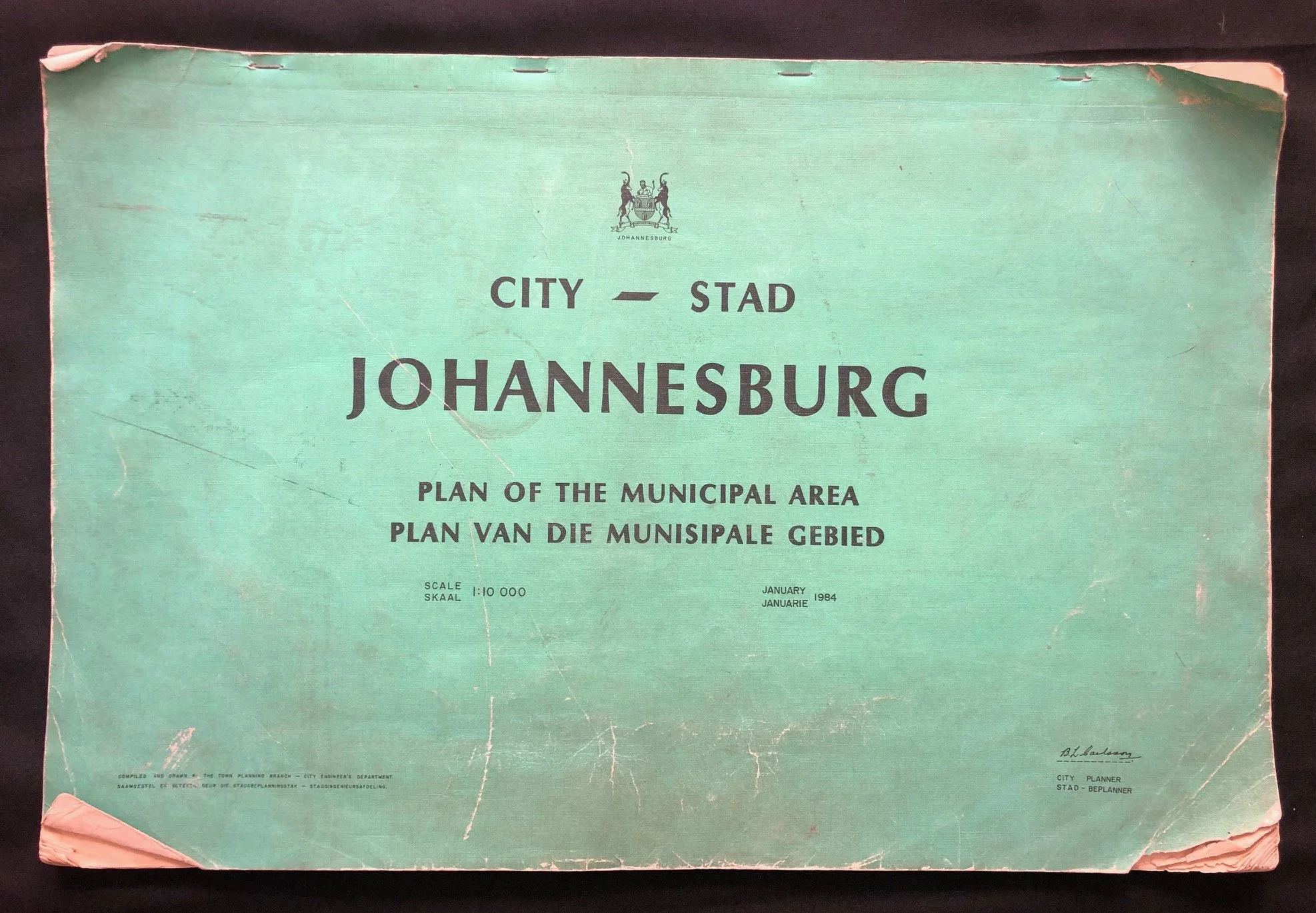
City of Johannesburg: Plan of the Municipal Area (1984)
Over 60 maps. It seems complete, but no index available.
Municipal planning document titled "City – Stad Johannesburg: Plan of the Municipal Area / Plan van die Municipale Gebied", dated January 1984.
While it looks like a standard piece of mid-1980s bureaucratic municipal mapping, its publication date makes it a remarkable artifact of a highly fraught, transitional moment in South Africa's urban and political history.
The Paradox of "The Municipal Area" in 1984
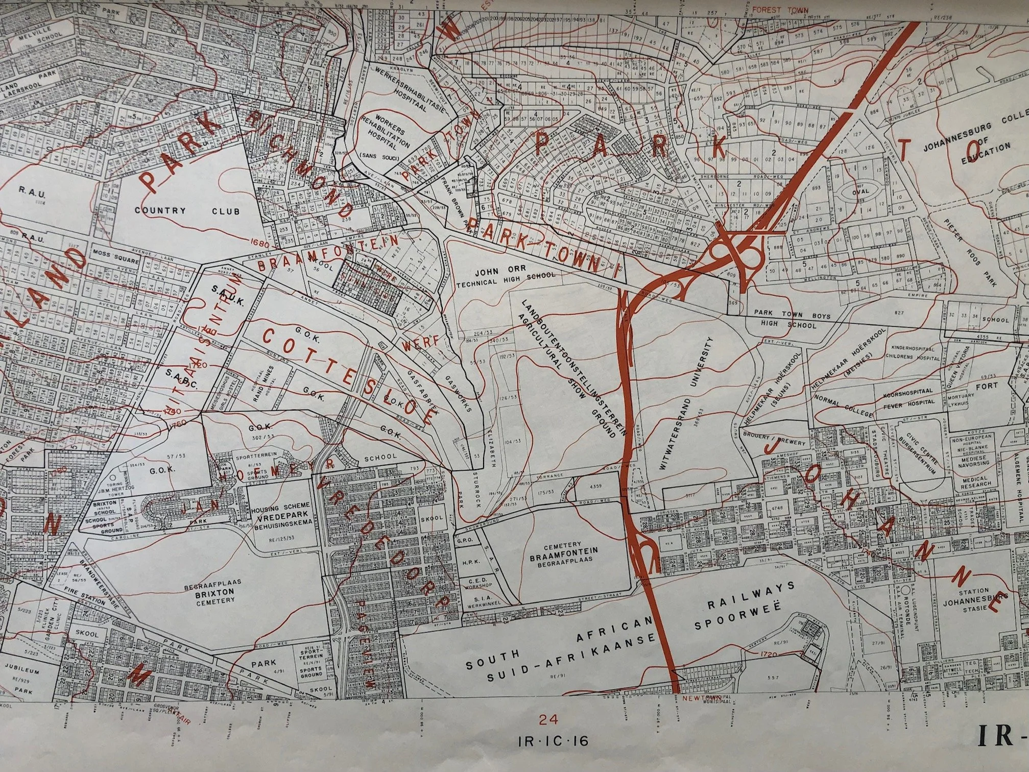
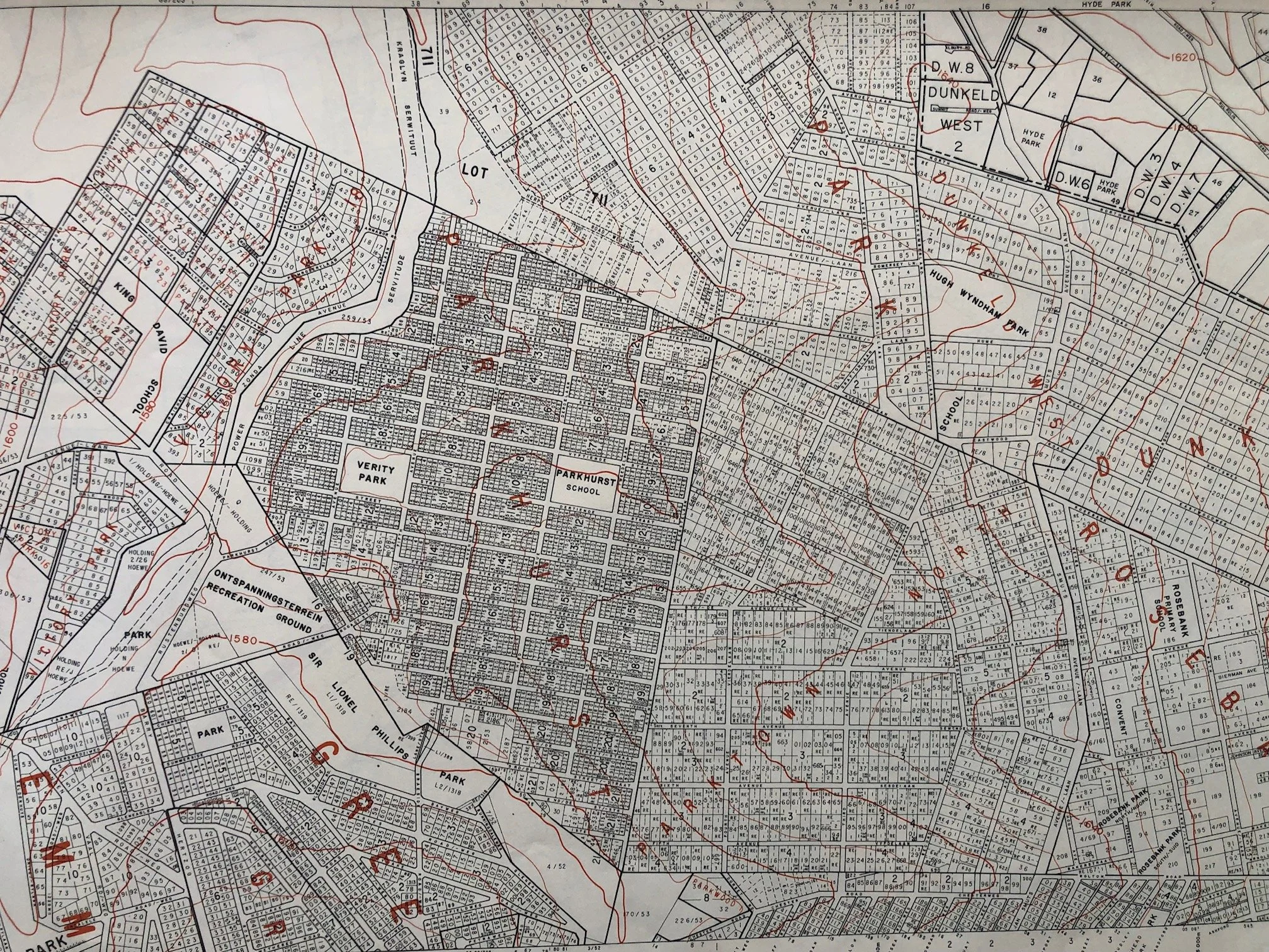
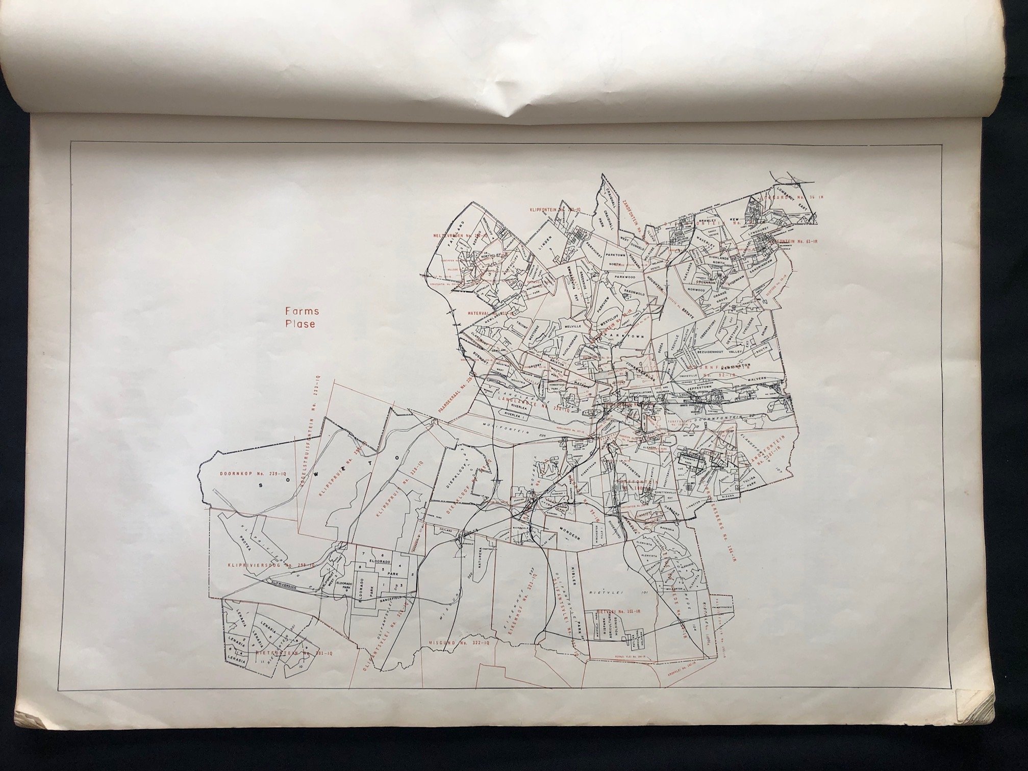
In January 1984, the concept of a single "Johannesburg Municipal Area" was an administrative fiction designed to uphold the legal architecture of Apartheid.
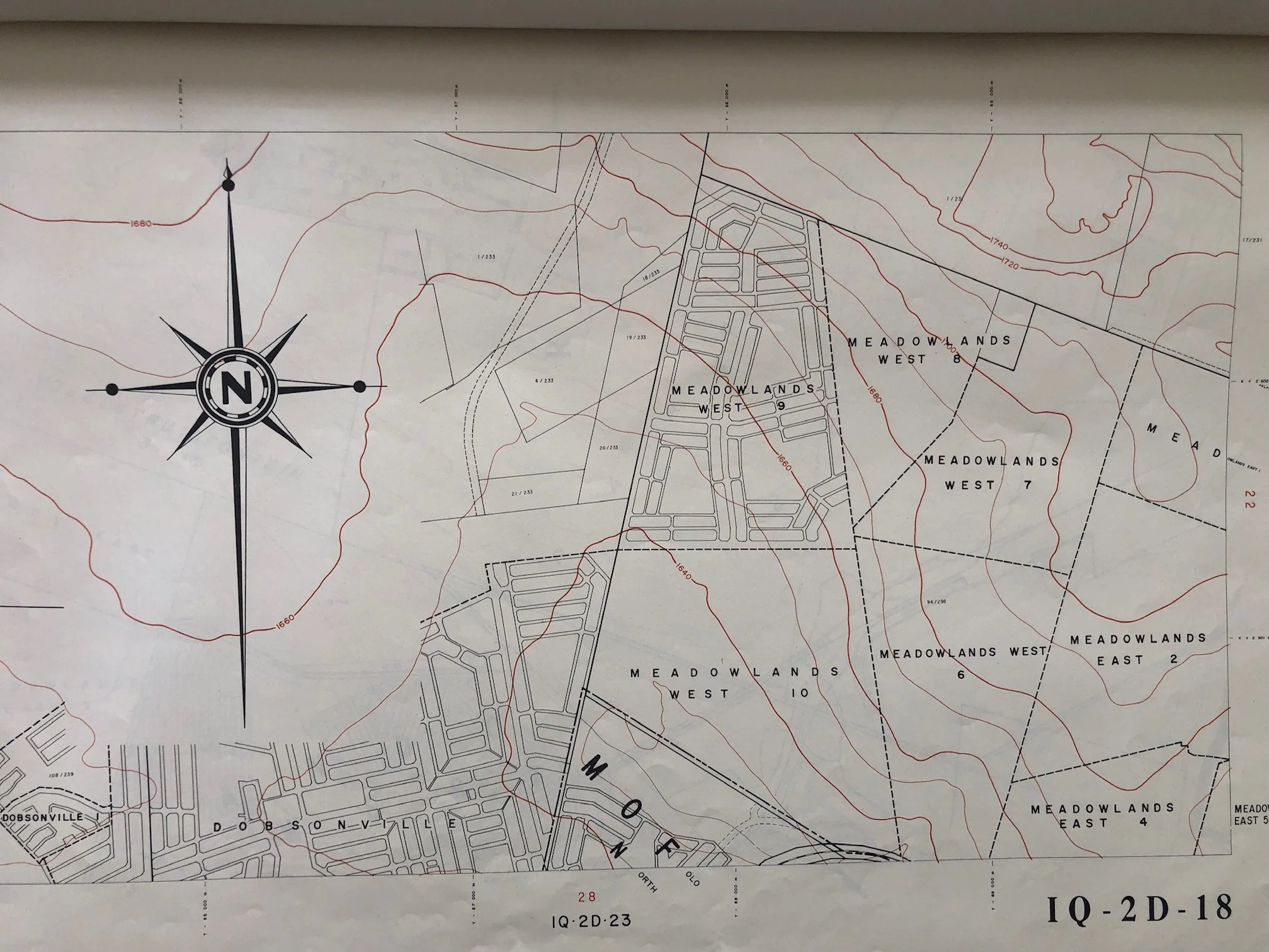
Under the Group Areas Act and the Black Local Authorities Act of 1982, urban spaces were rigorously segregated by race. This map booklet, compiled by the White-led City Engineer’s Department (Town Planning Branch), outlined an urban jurisdiction that legally excluded massive, neighboring black urban centers like Soweto (the South-Western Townships) and Lenasia (designated for the Indian population). Soweto had been granted its own separate, municipal status just a few weeks prior, in December 1983.
Consequently, a 1:10,000 scale map from this exact month captures the stark, artificial cartographic boundaries used to divide the economic core of the Witwatersrand from the vast dormitory townships that supplied its labor force.
The Launch of the Tricameral Parliament Era
January 1984 was the dawn of a massive constitutional shift. The Republic of South Africa Constitution Act of 1983 was slated to take effect later in 1984, establishing the controversial Tricameral Parliament.
This system divided governance into "Own Affairs" (matters specific to White, Coloured, and Asian population groups, including local town planning within their segregated zones) and "General Affairs." This 1984 plan represents one of the final, highly technical attempts by the Johannesburg Municipality to map out local "Own Affairs" spatial planning before the system fragmented further under the new constitutional model.
High-Water Mark of Official Bilingualism
The cover illustrates the strict legislative requirements of the era regarding language. The parallel use of English and Afrikaans (City — Stad, Plan of the Municipal Area — Plan van die Municipale Gebied, Scale 1:10 000 — Skaal 1:10 000) was not merely a design preference but a rigid statutory requirement under the 1961 and 1983 Constitutions. Every piece of public ephemera, down to the town planner’s signature block in the bottom left, had to explicitly balance both official languages, reflecting the state's ongoing emphasis on Afrikaner administrative dominance.
A Prelude to the 1984 Uprisings
The year 1984 became a major turning point in the struggle against Apartheid, marked by widespread rent boycotts, labor strikes, and civic uprisings in the townships surrounding Johannesburg (such as the Vaal Civic Association protests later that year). These protests were directly sparked by the rejection of the very local authority structures and spatial planning layouts that booklets like this one were designed to manage.
All pages are dog-eared, creased, thumbed, some minor tears.
630mm x 415mm
R4,500