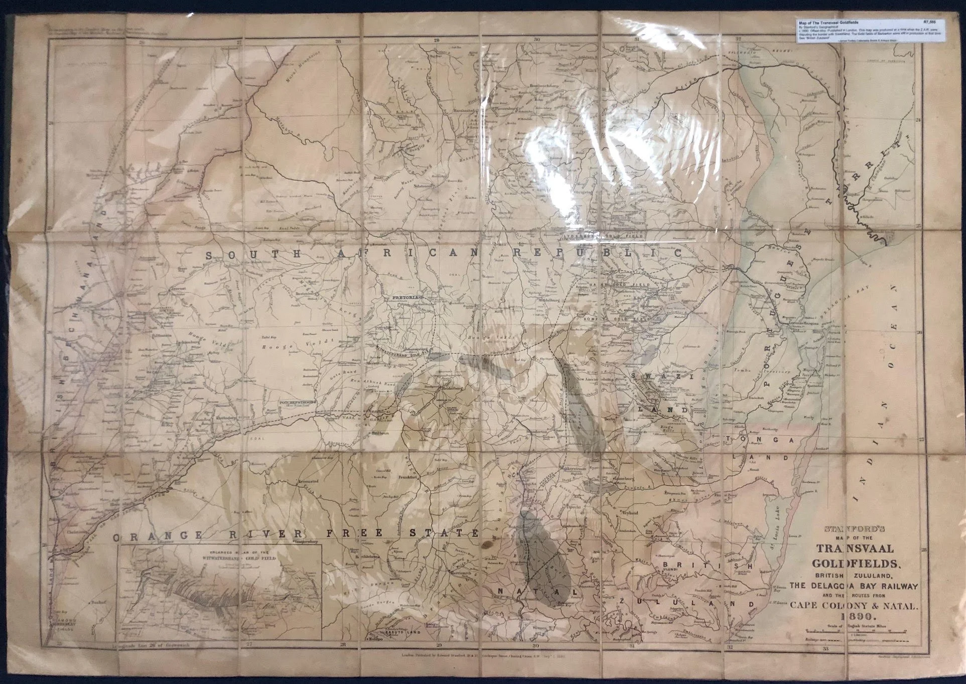
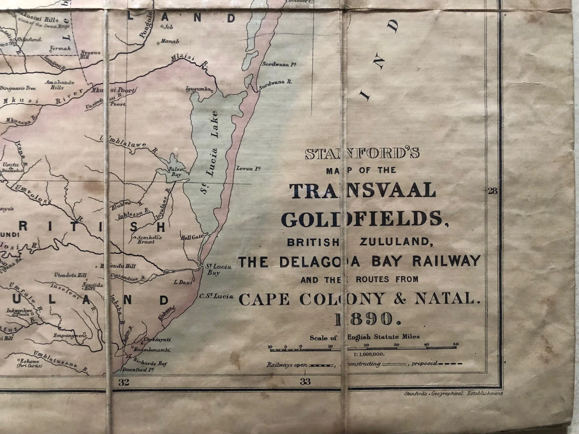
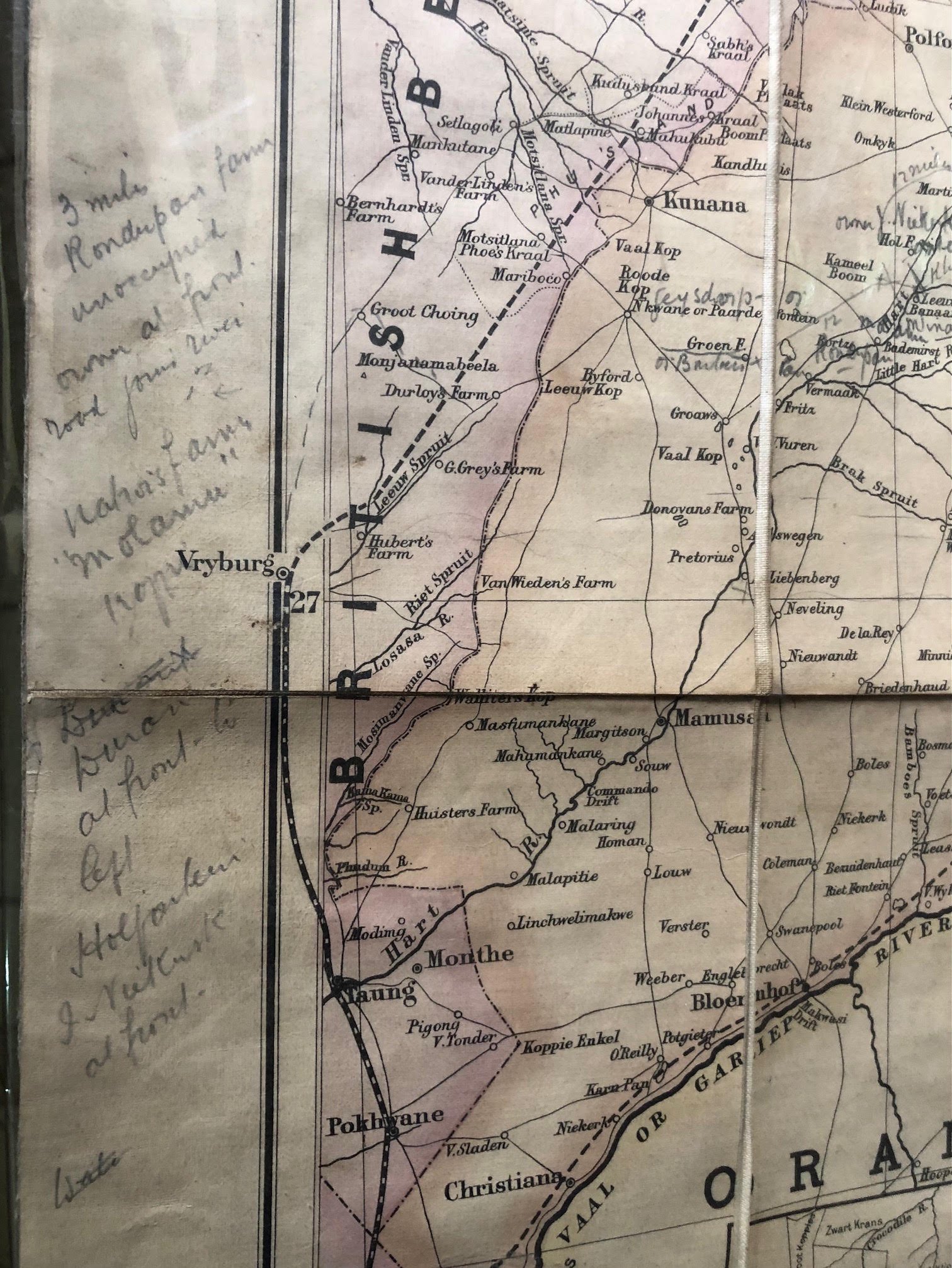
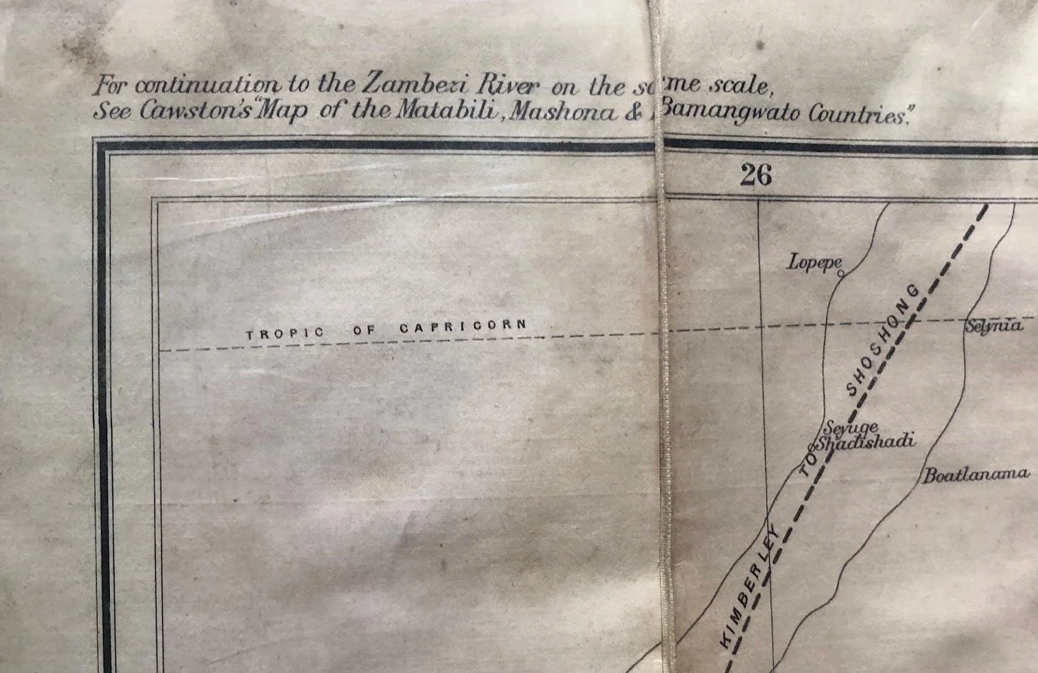
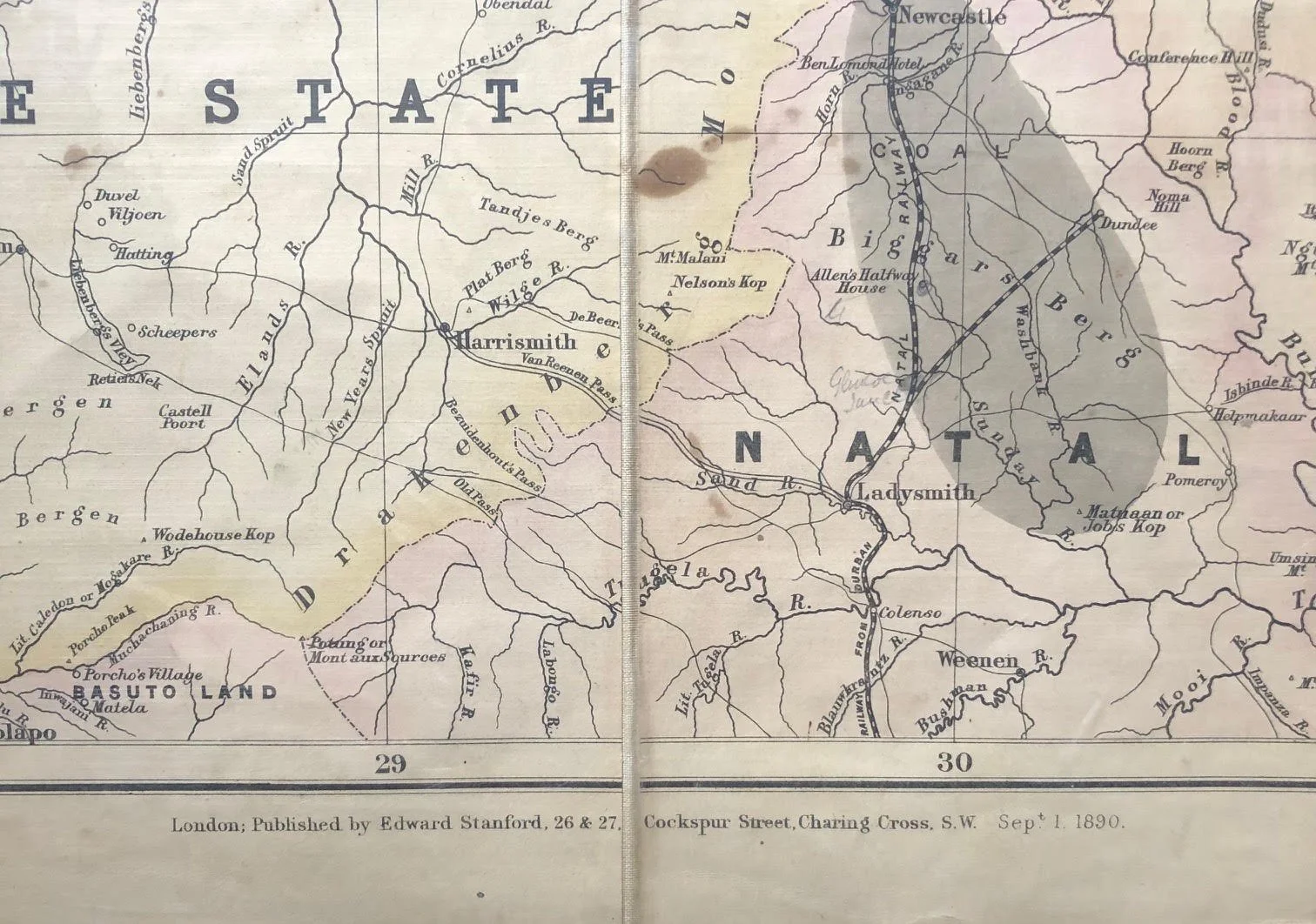
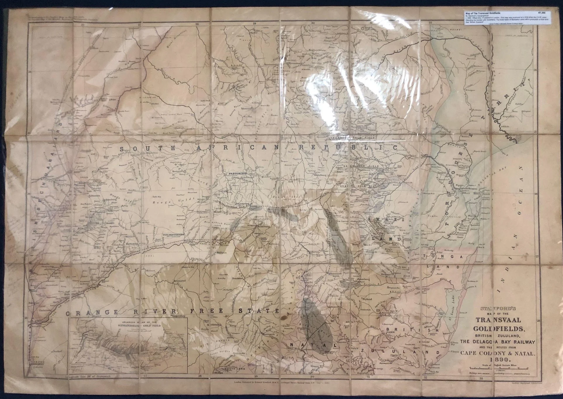
Stanford’s Map of the Transvaal Goldfields, British Zululand, the Delagoa Bay Railway. 1890.
This 1890 edition of Stanford’s Map of the Transvaal Goldfields, British Zululand, the Delagoa Bay Railway, and the Routes from Cape Colony & Natal captures Southern Africa at a critical geopolitical turning point. Published by Edward Stanford in London, cartography like this served not just as navigational guides, but as essential tools for Victorian investors, prospectors, and imperial strategists during the height of the Witwatersrand Gold Rush.
Several key historical details make this specific map particularly fascinating:
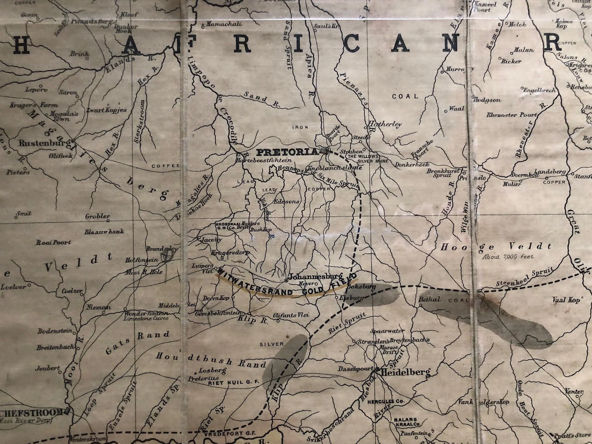
The Scramble for Sea Access (The Delagoa Bay Railway Focus): The landlocked South African Republic (Transvaal) under President Paul Kruger was desperate for a trade route to the sea that bypassed British-controlled ports in the Cape and Natal. The line to Delagoa Bay (Lourenço Marques / Maputo in Portuguese East Africa) was Kruger’s lifeline to international independence. Stanford specifically highlighted railway lines as Open, Constructing, or Proposed to track this high-stakes infrastructure race.
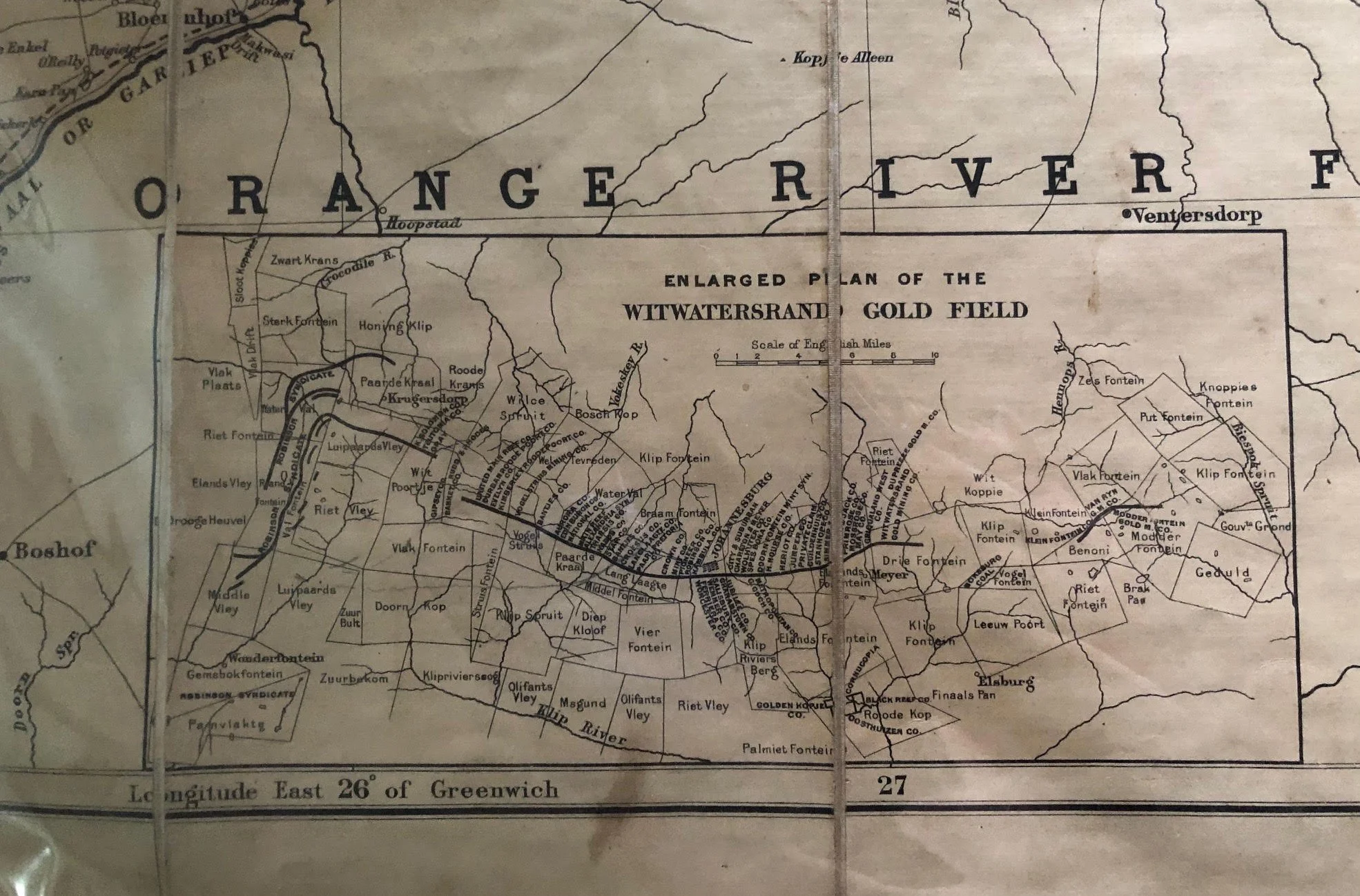
Emergence of the Witwatersrand (1886–1890): Gold was discovered on the Witwatersrand in 1886, just four years before this map was printed. In the inset and main body, Johannesburg appears as a rapidly growing mining hub transformed almost overnight from open highveld farmland into the economic engine of Southern Africa.
"British Zululand" and Coastal Buffer Zones: Following the Anglo-Zulu War of 1879 and the subsequent civil strife, Britain formally annexed Zululand in 1887 (labeled here as "British Zululand"). A primary strategic objective of this annexation—along with claims over Kosi Bay and Tongaland further north—was to prevent the Transvaal Boers from securing their own direct deep-water port on the Indian Ocean.
Commercial Mapmaking for the London Market: Edward Stanford was the leading official mapmaker in Victorian London. Maps like this were eagerly bought by City of London financiers investing in South African mining stock, tracking where potential railway extensions might unlock new mineral wealth.
990mm x 69mm including borders.
Dark stain near Harrismith; general staining over entire map; minor edge tears.
R7,500