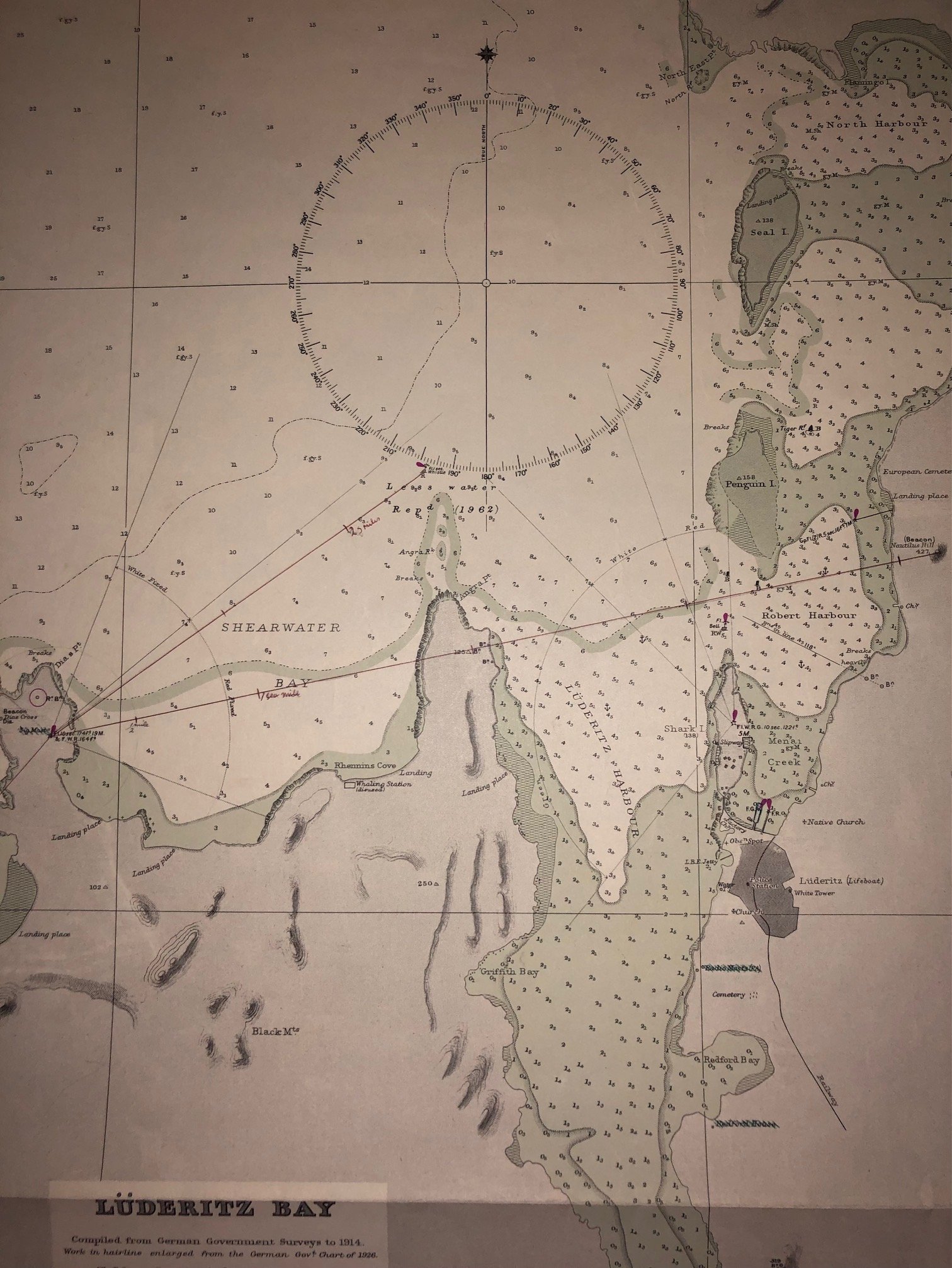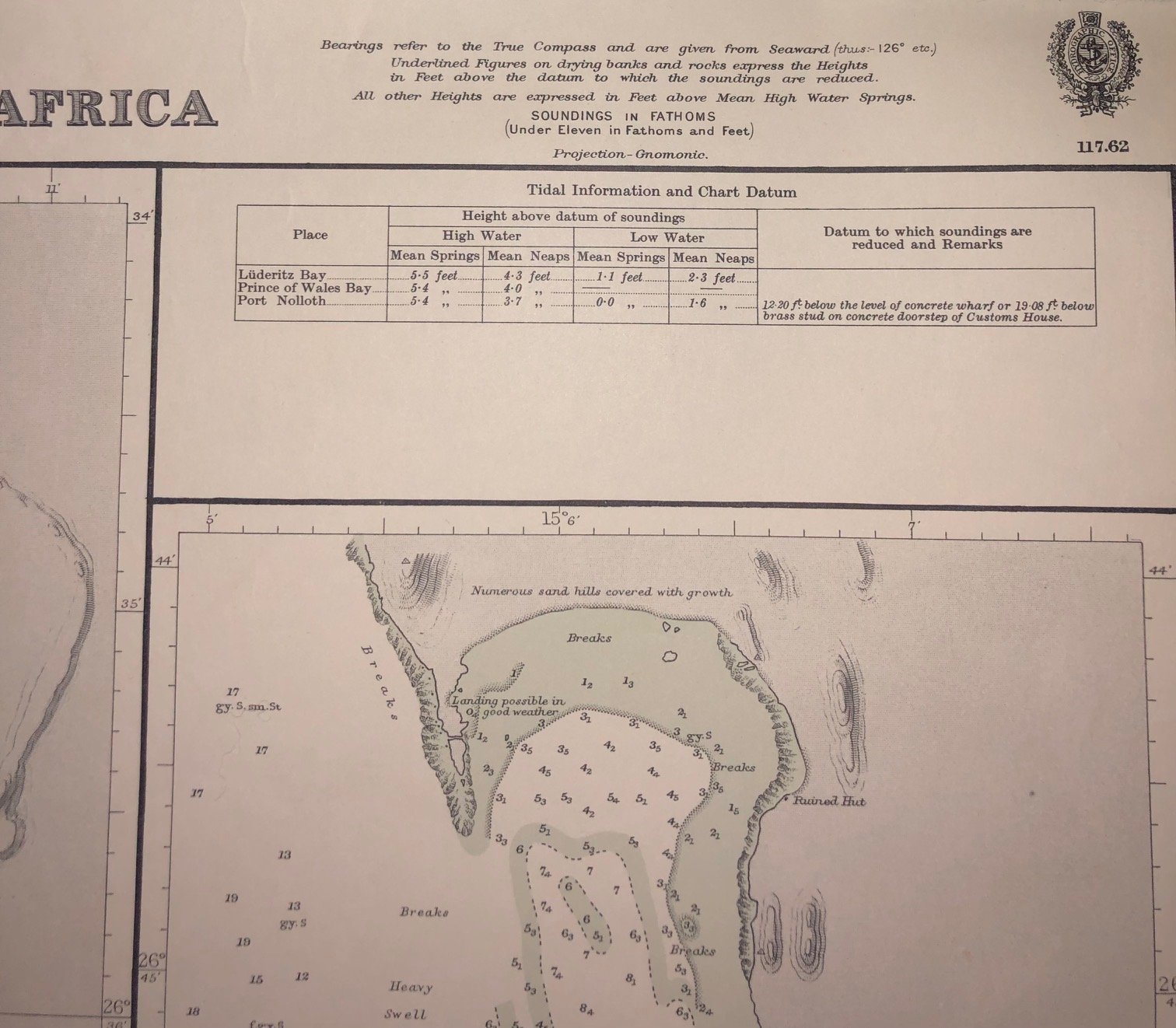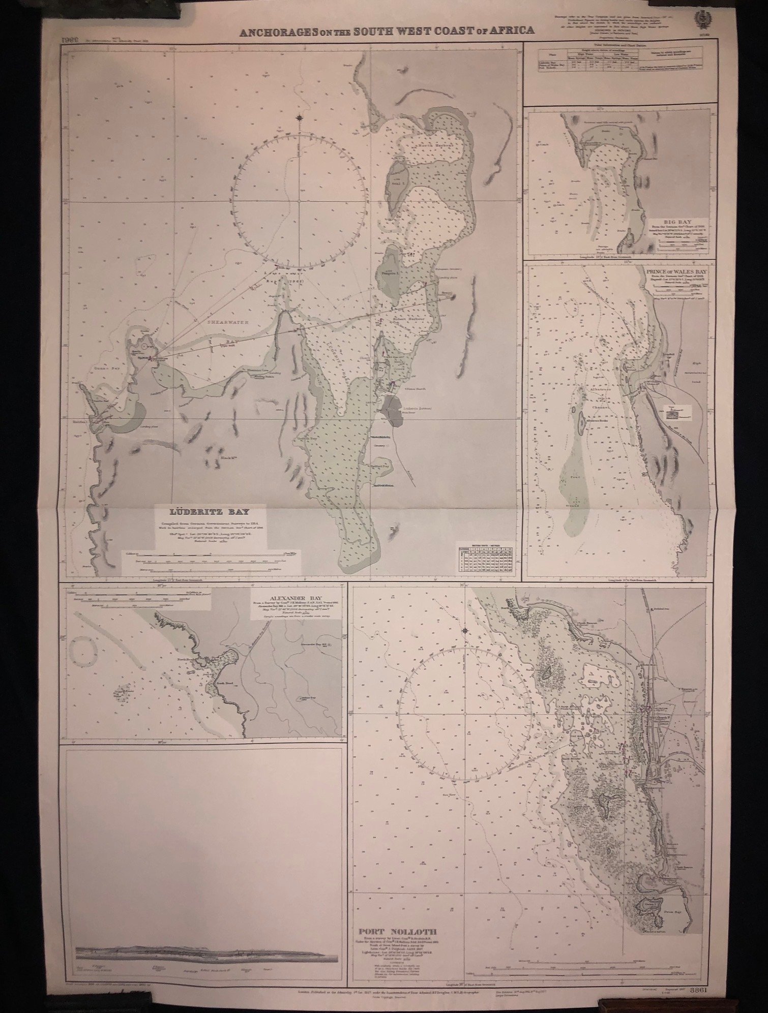
Anchorage’s on the South West Coast of Africa (1927-1962)
Admiralty Chart from 1927, last updated in 1962, of Luderitz Bay, Namibia.
Large chart: 700mm x 1005mm
R1,000
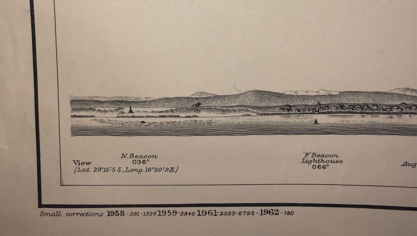
Admiralty Chart from 1927, last updated in 1962, of Luderitz Bay, Namibia.
Large chart: 700mm x 1005mm
R1,000