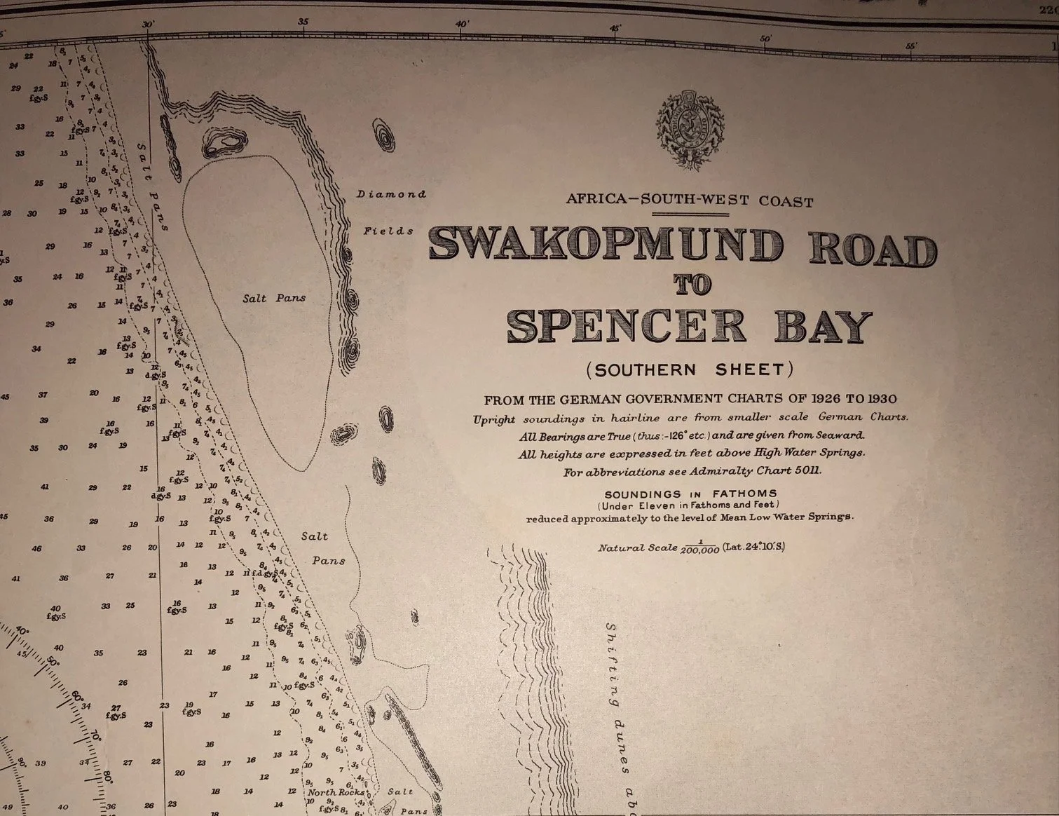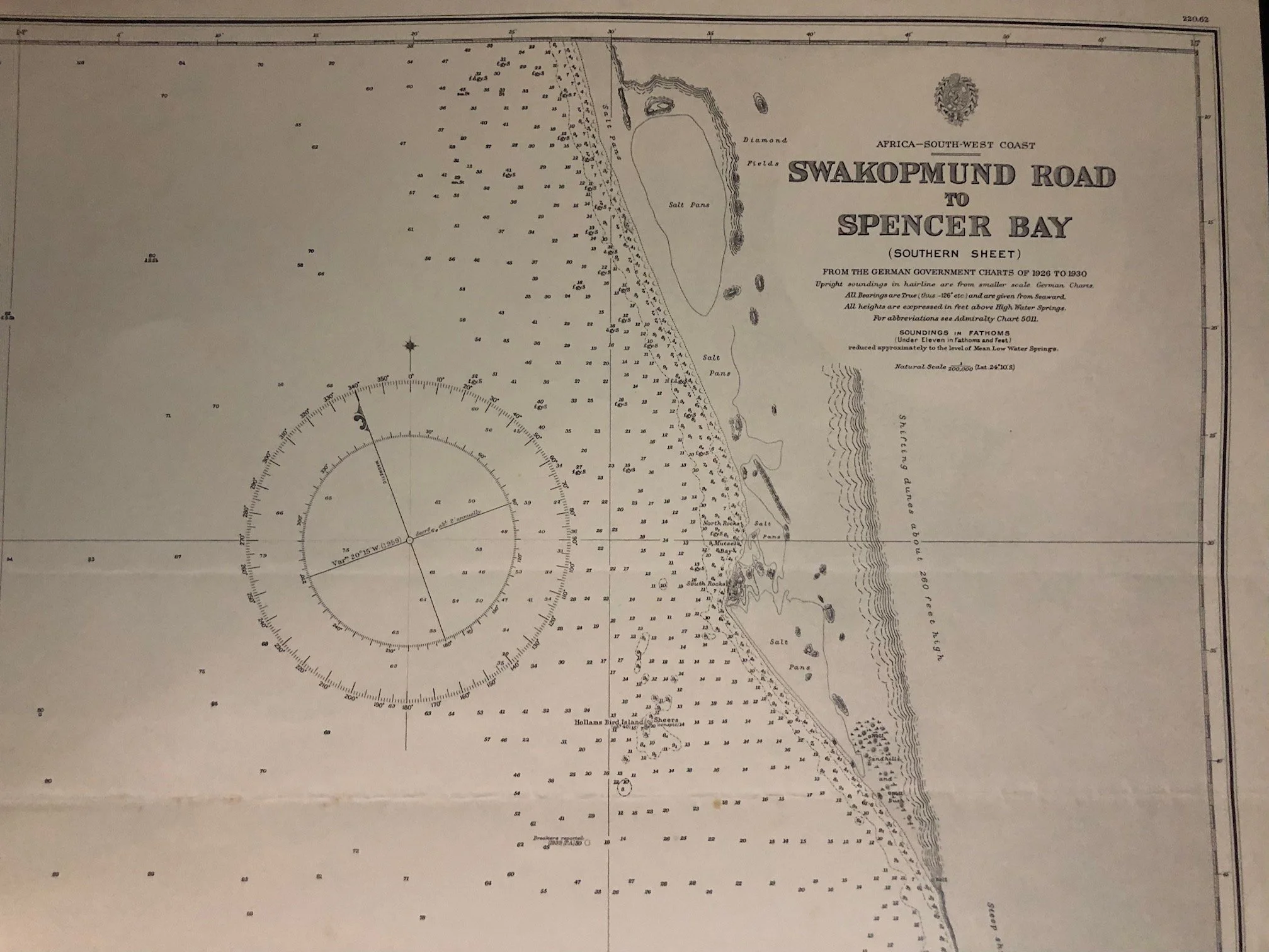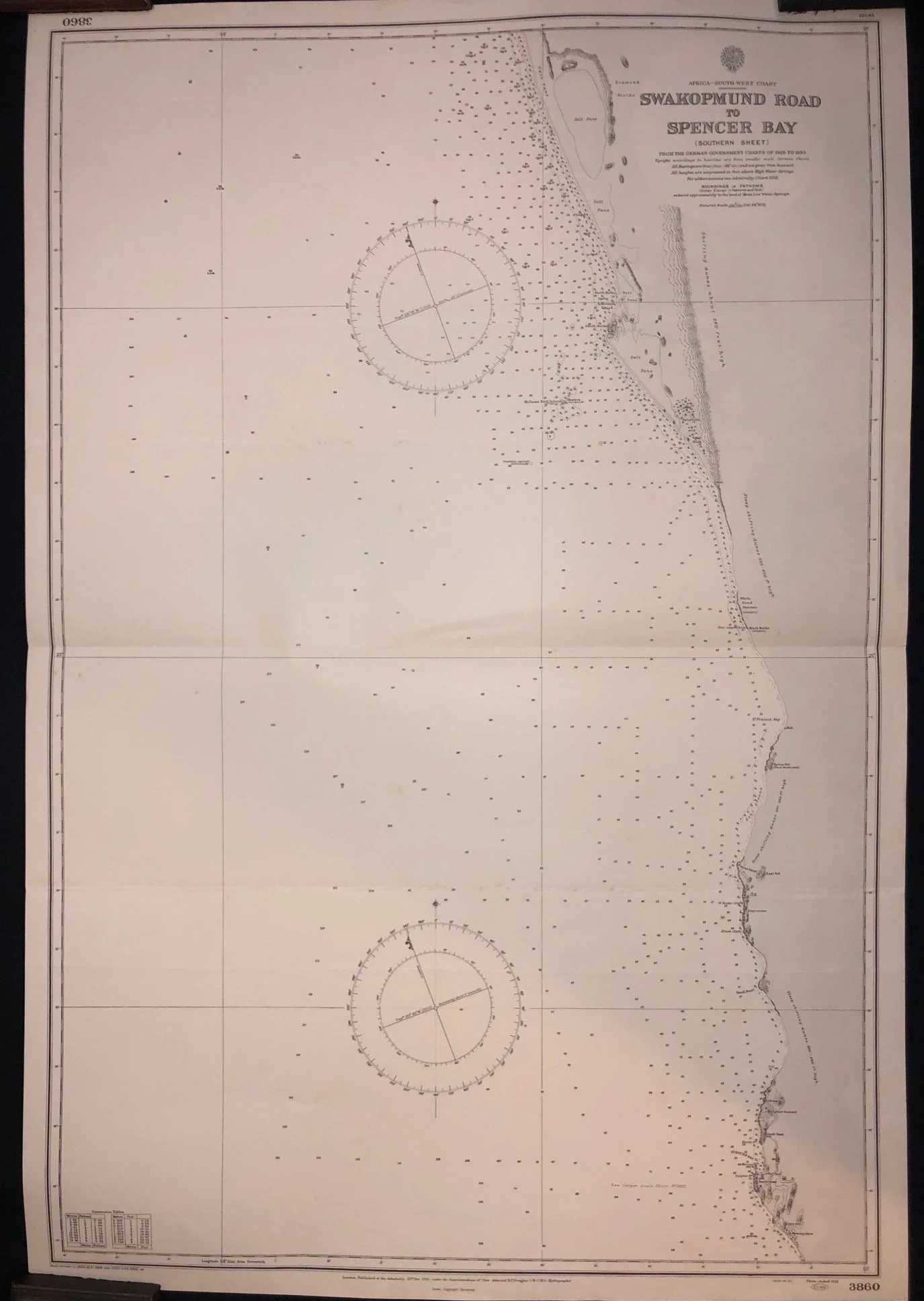
Chart of Swakopmund Road to Spencer Bay, Namibia (1931)
From the German Government Charts of 1926-1930.
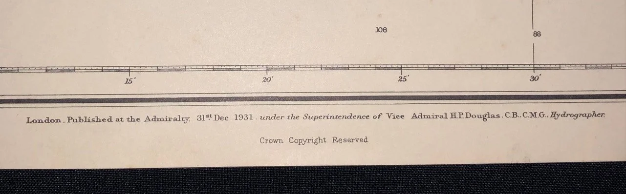
Published by the Admiralty 31st Dec. 1931 under the Superintendence of Vice Admiral H.P Douglas C.B.. C.M.G Hydrographer
Large chart: 700mm x 1010mm
R1,000