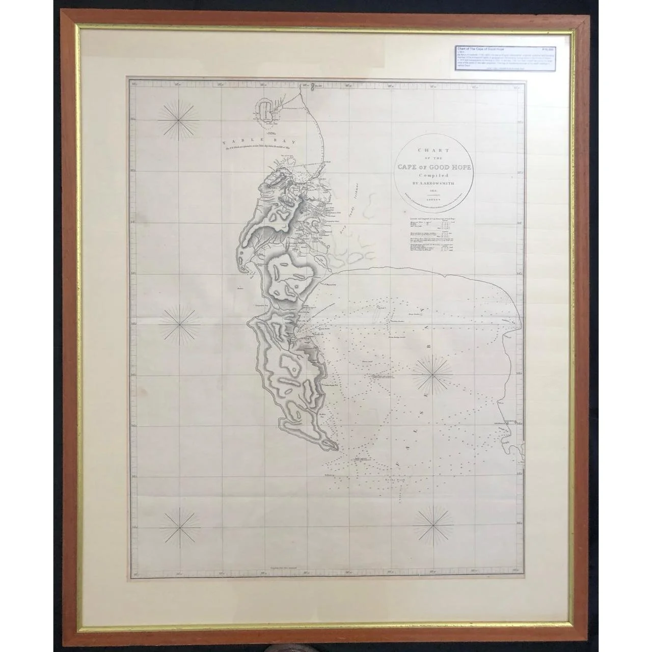
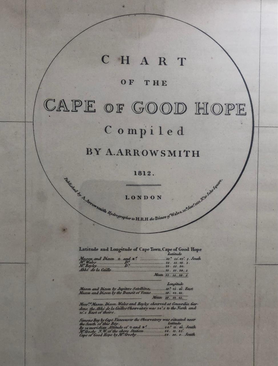
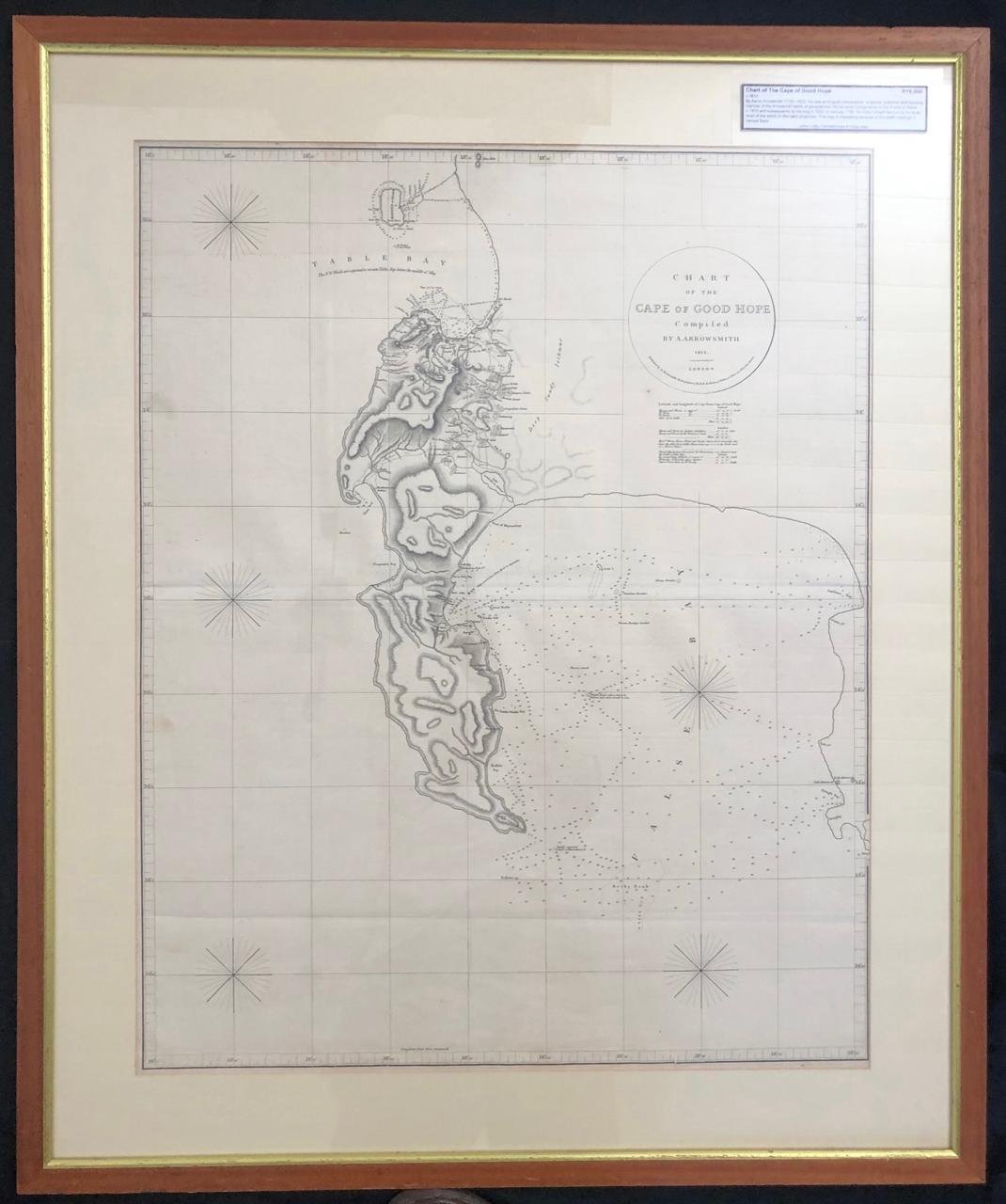
Chart of the Cape of Good Hope
c. 1812.
By Aaron Arrowsmith (1750-1823) an English cartographer, engraver, publisher and founding member of the Arrowsmith family of geographers. He became hydrographer to the Prince of Wales c. 1810 and subsequently to the King in 1820.
In January 1790, he made himself famous by his large chart of the world on Mercator Projection.
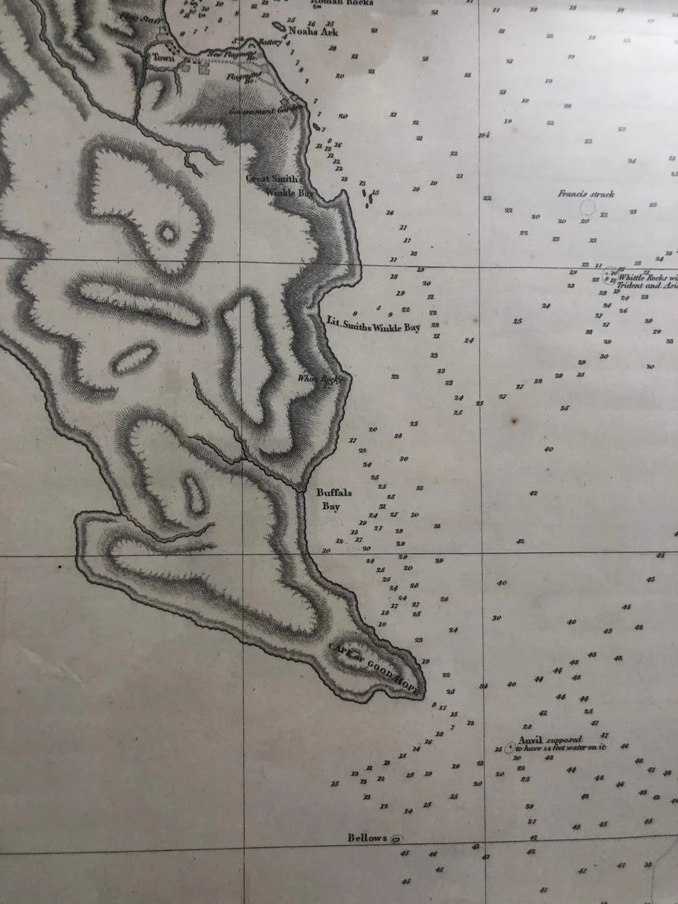
This map is interesting because of the depth readings in various bays.
860mm x 1030mm
R12,500